Greenland.
East coast of Greenland with icebergs, mountains and the Greenland Ice Sheet feeding glaciers into the sea.
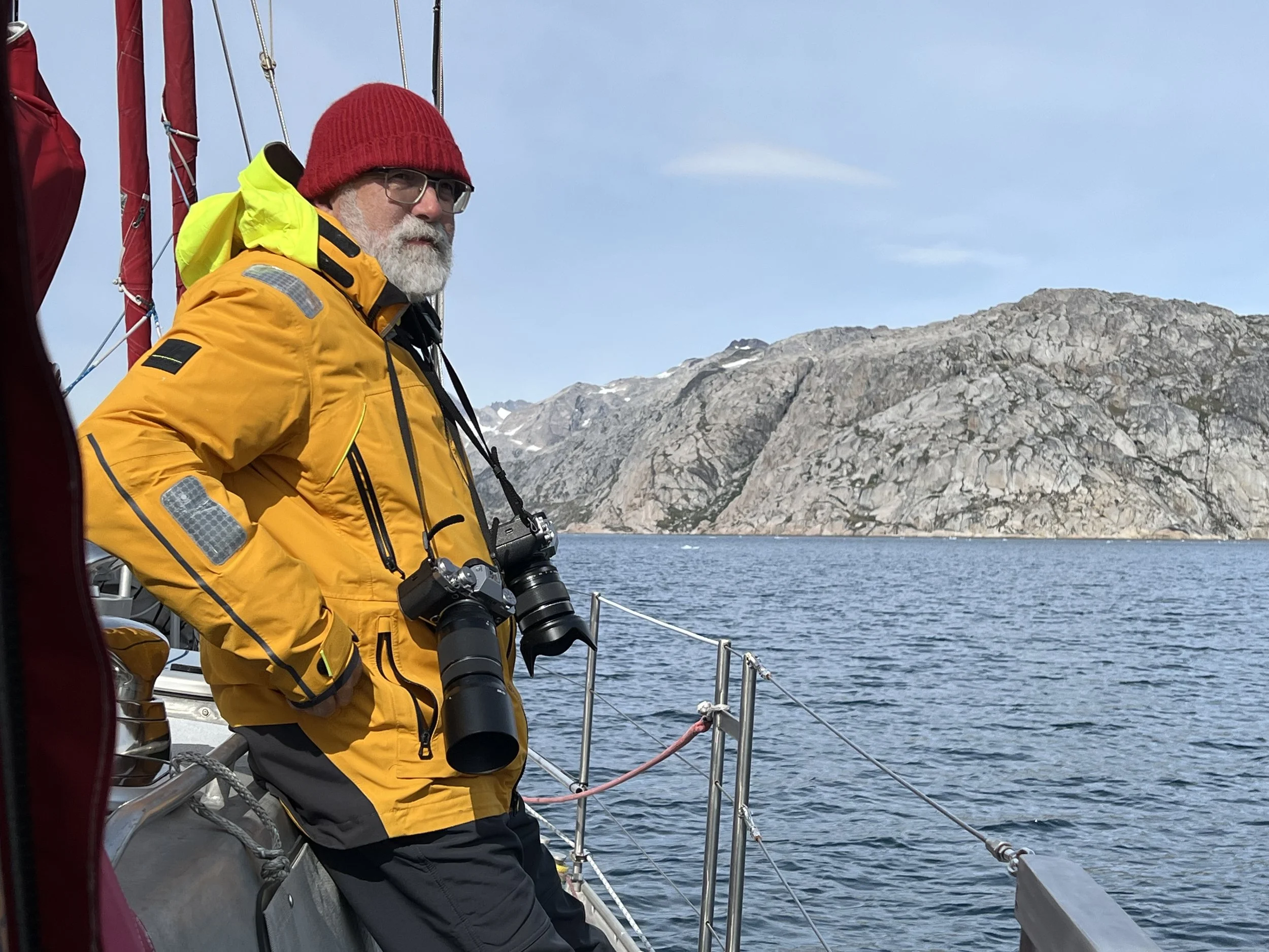
Where to start? Our stay in Greenland was not that long, but the impressions will last a lifetime.
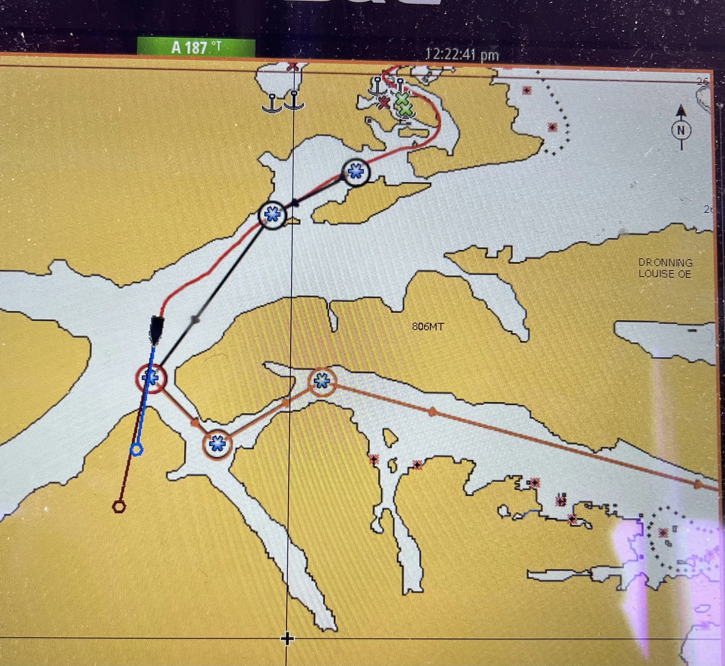
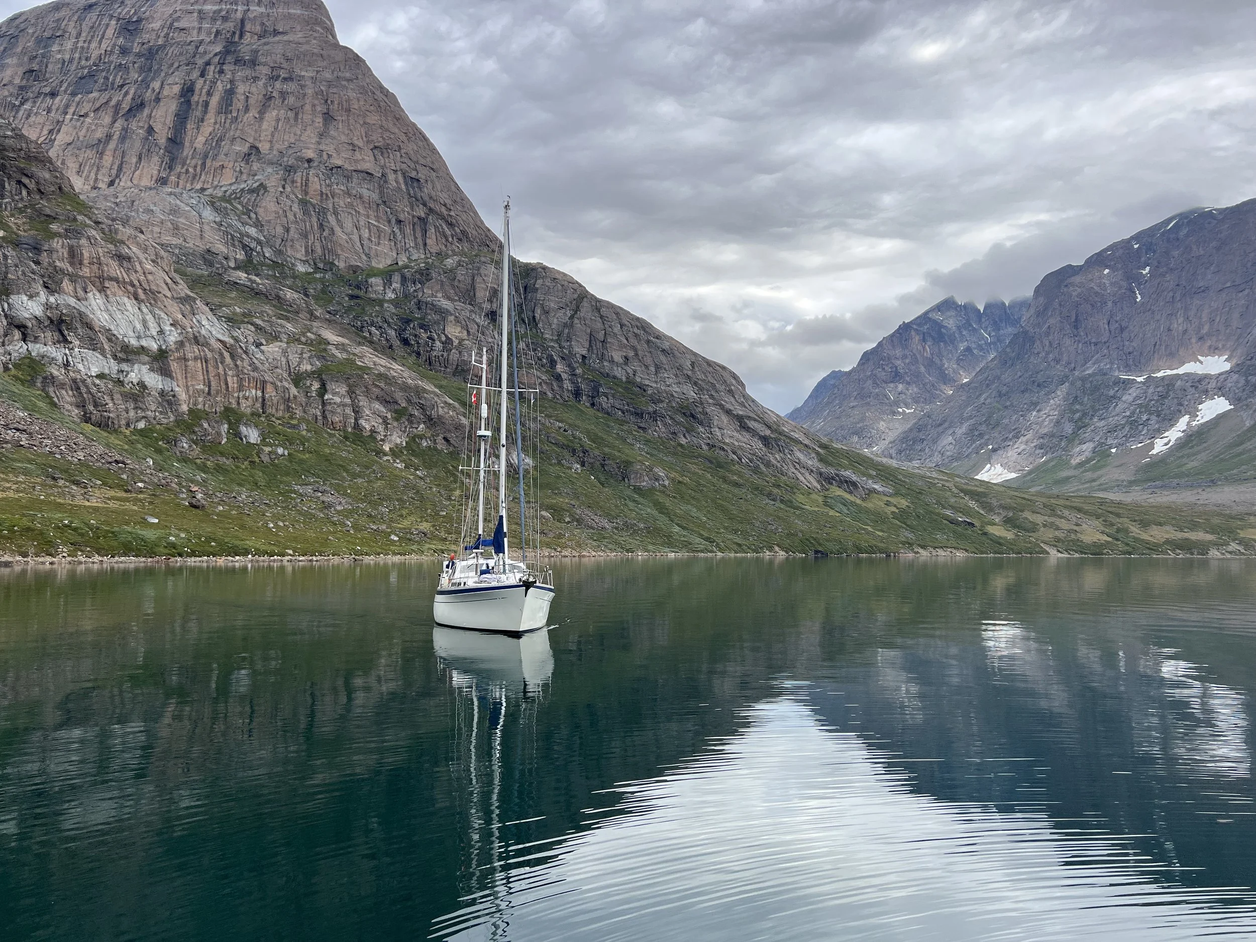
After spending the short night 10 miles offshore drifting with the icebergs, we anchored amongst the low lying rocks of the Kuugarmiut anchorage, well protected from wind and swell, perfect for catching up on sorely needed sleep after 5 days at sea. The forecast for the next few days was perfect to enjoy the dramatic scenery. Our cruising guide showed a tortuous alternative route out of the anchorage which, had it not been for the encouragement of our friends on SV Pangey, we might not have tried. We are so glad we did.
Snug in the Kuugarmiut anchorage
An obstacle in the passage out of the anchorage.
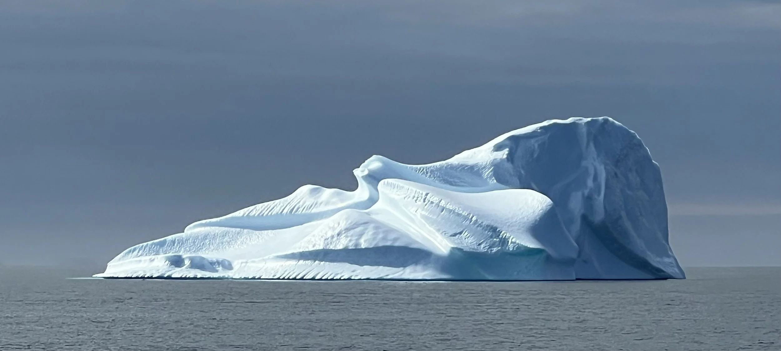
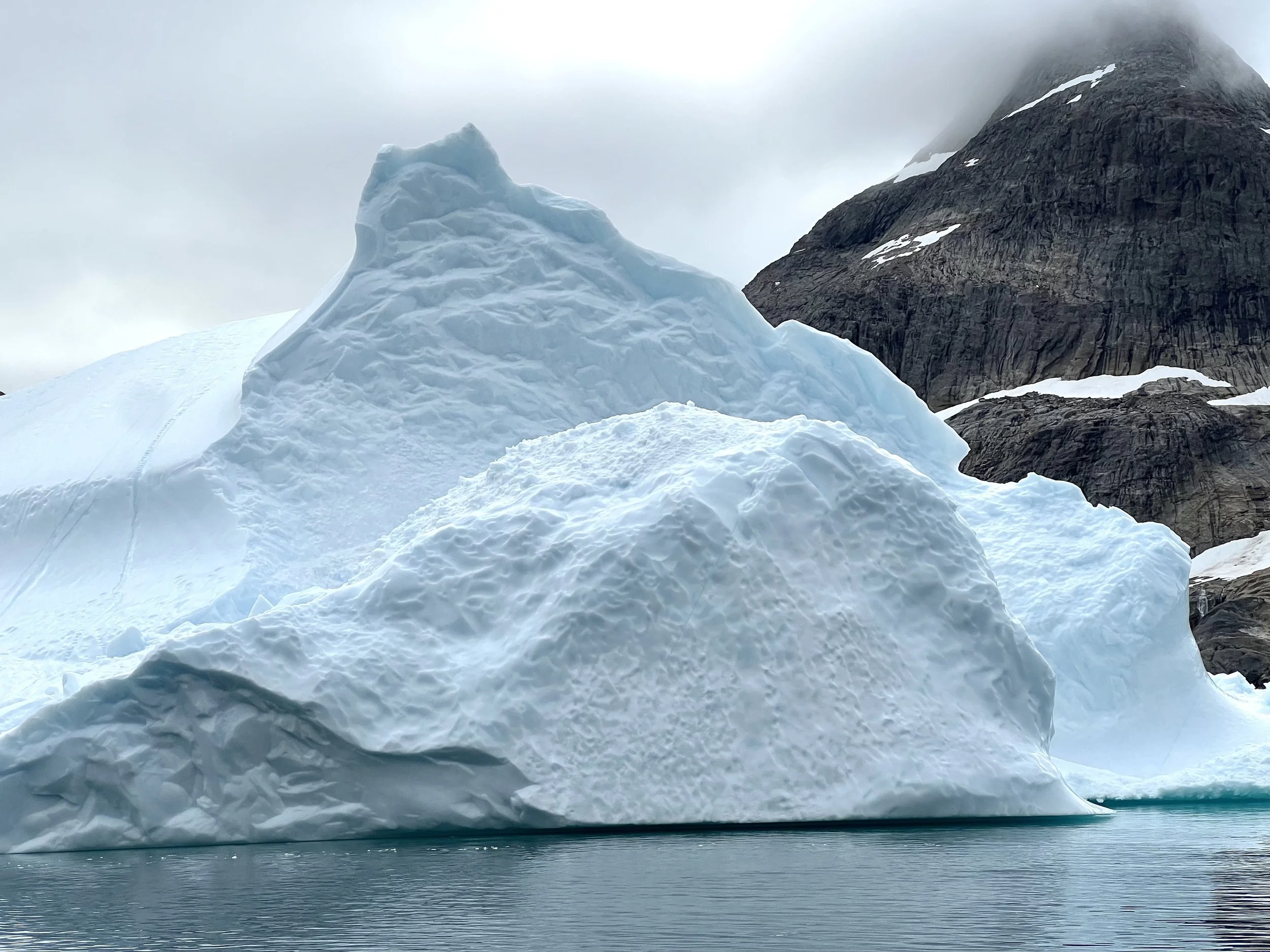
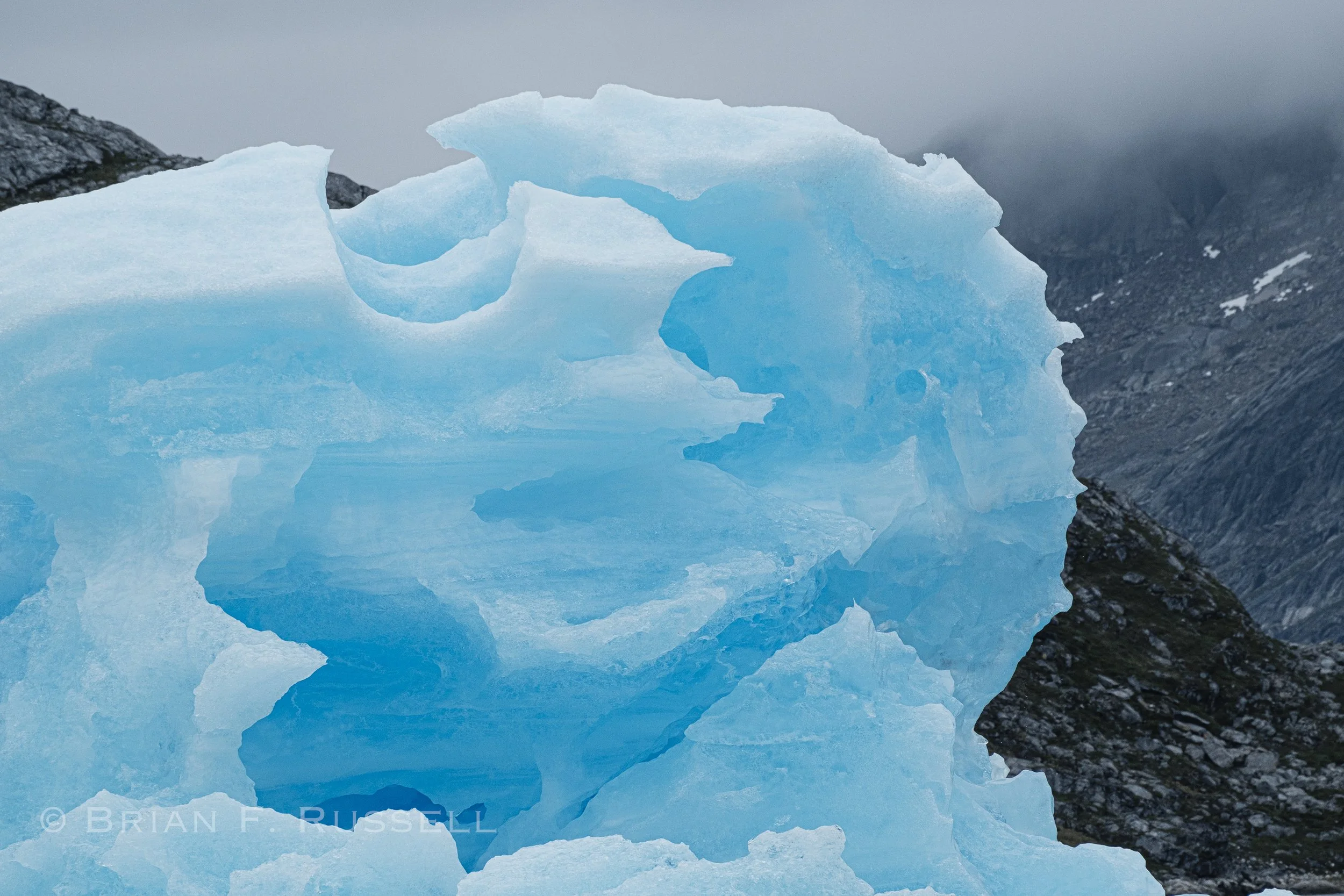
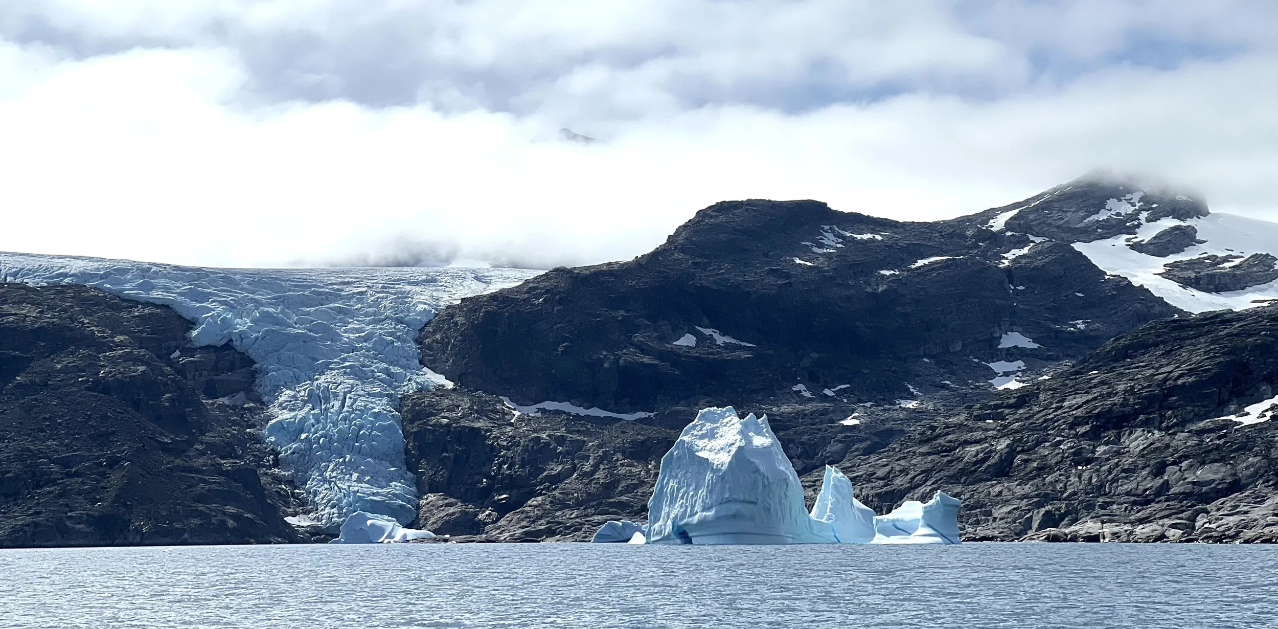
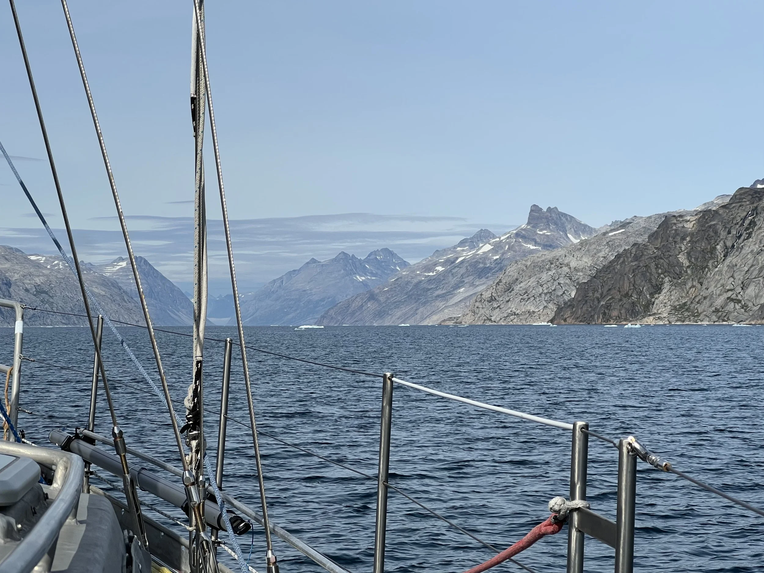
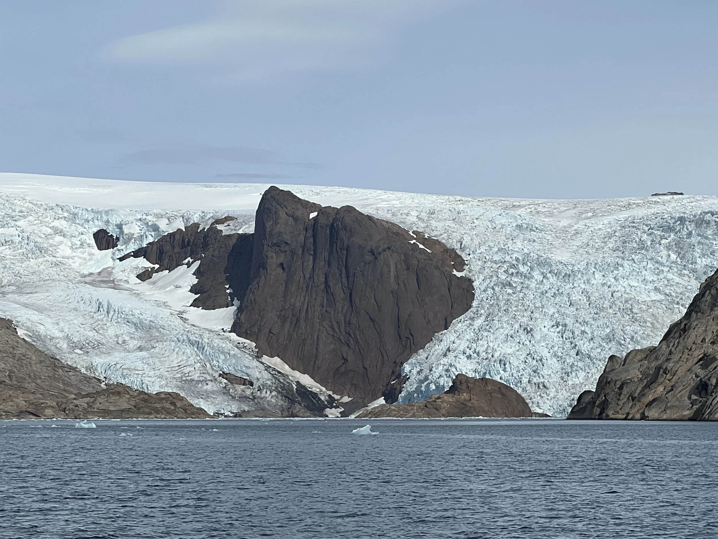
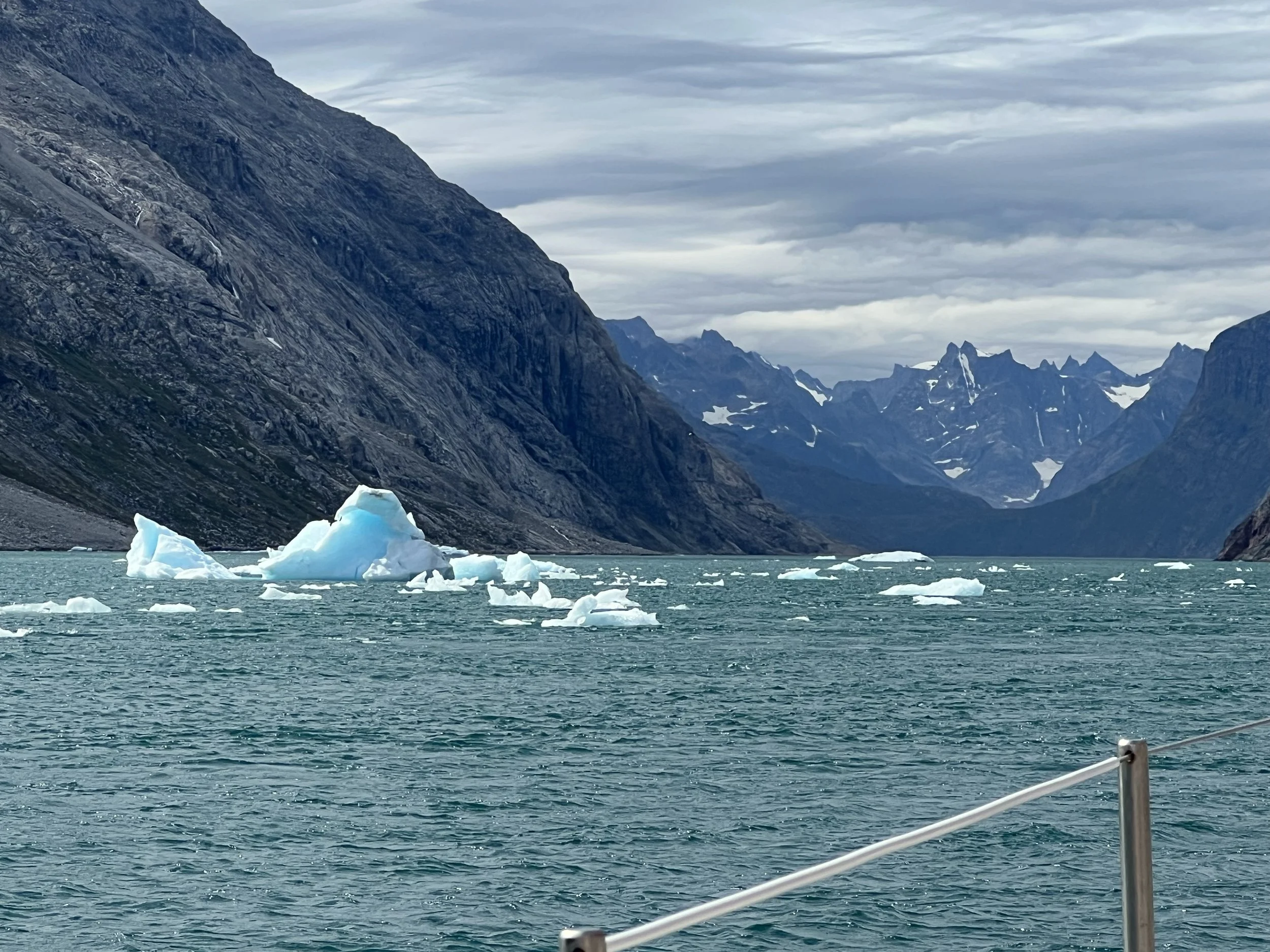
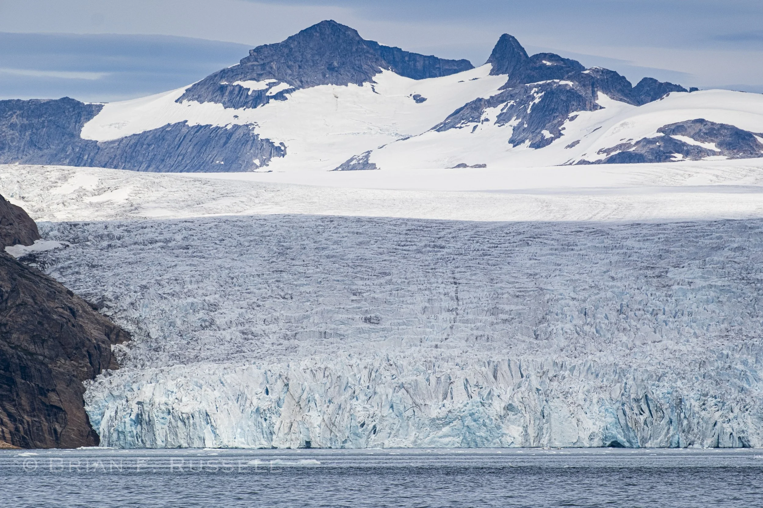
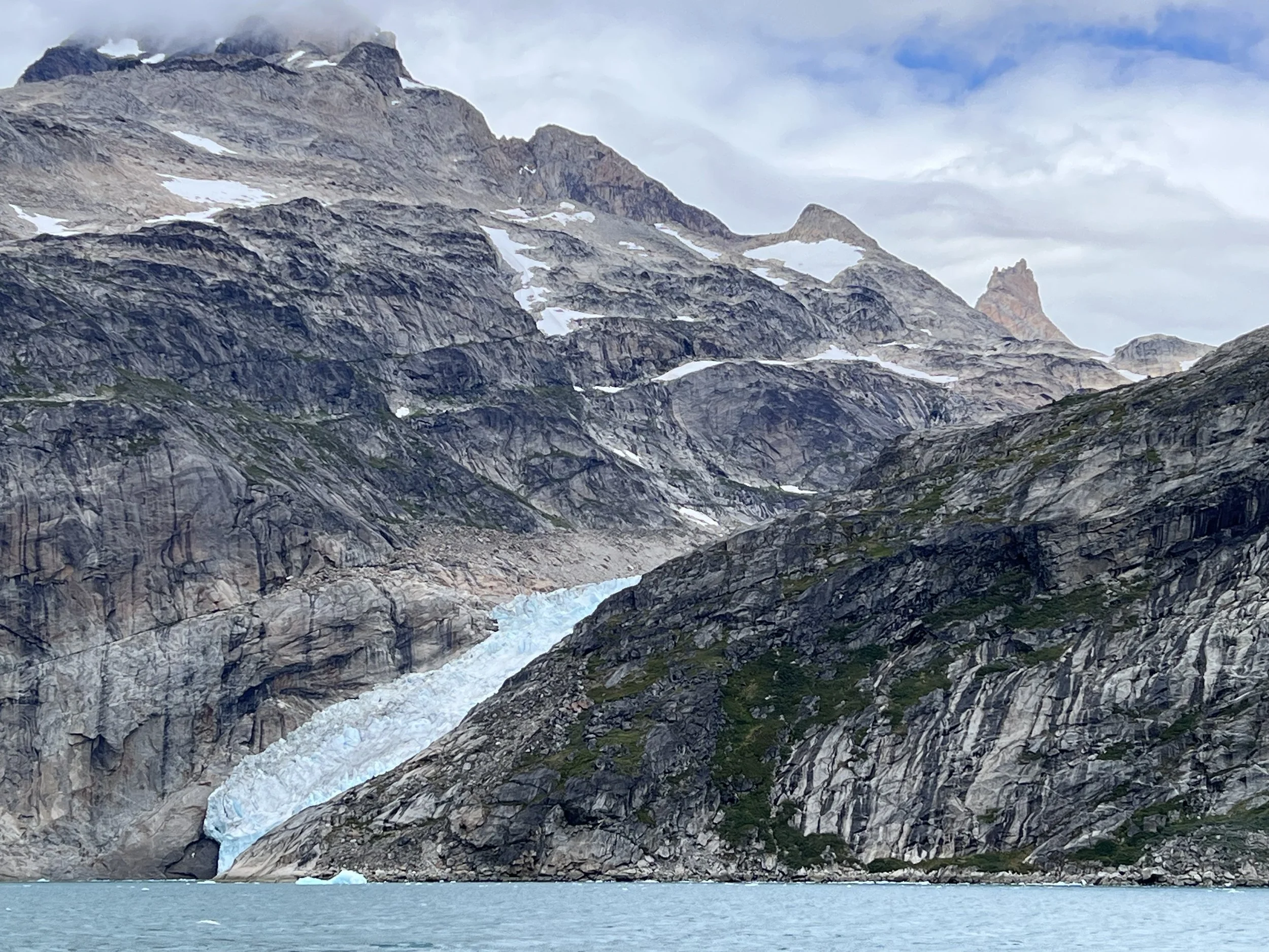
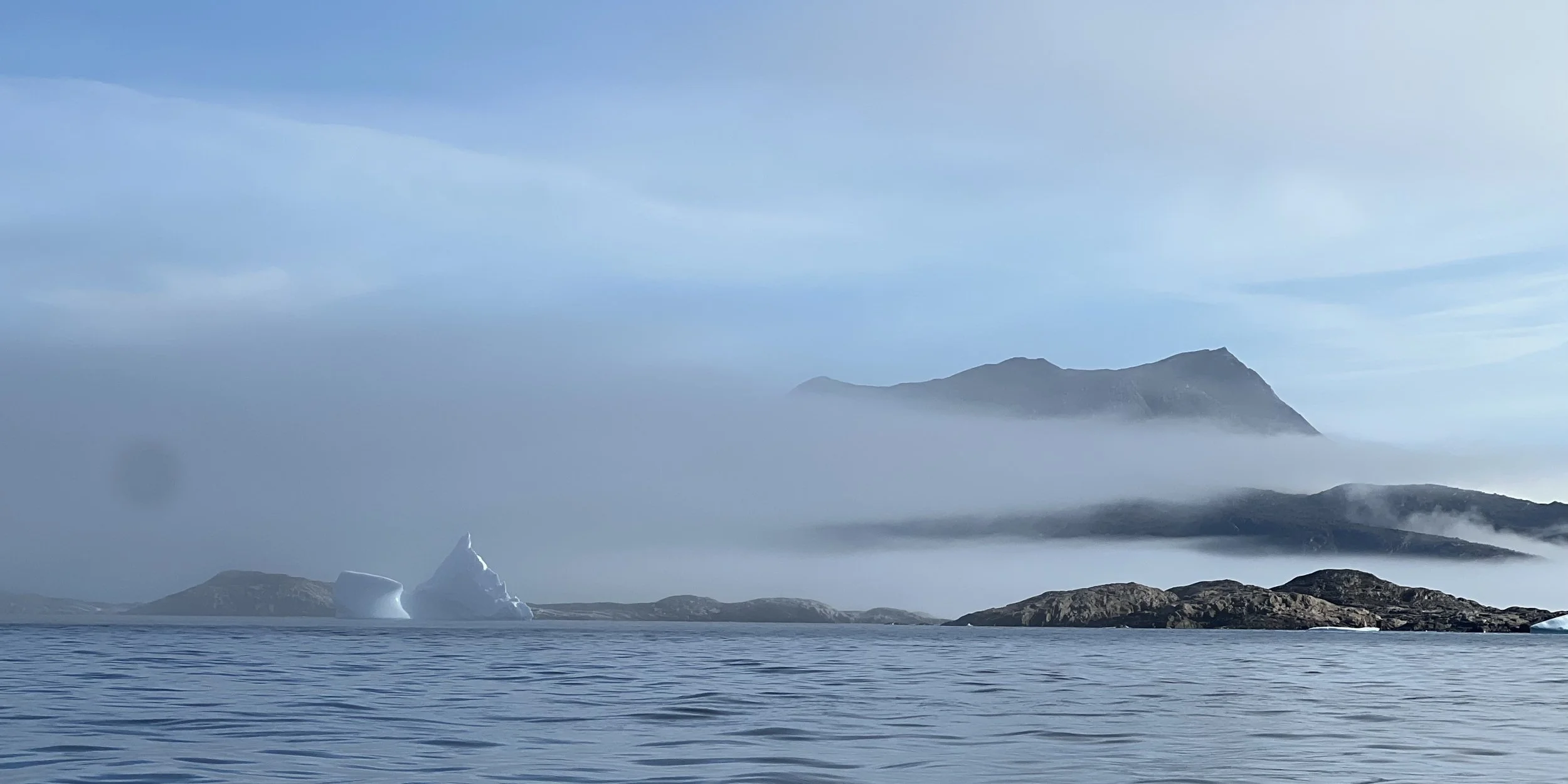
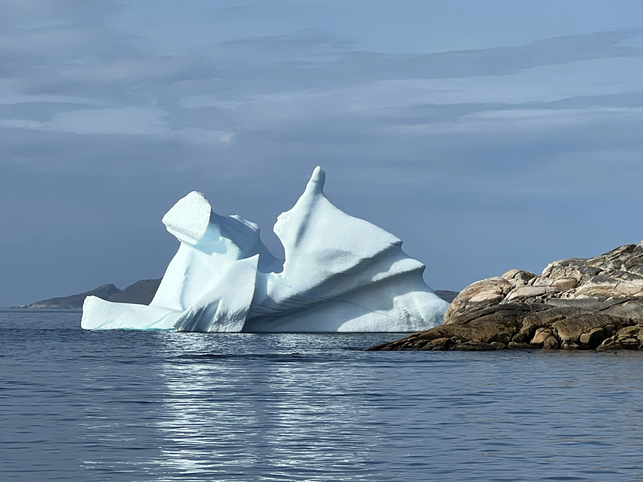
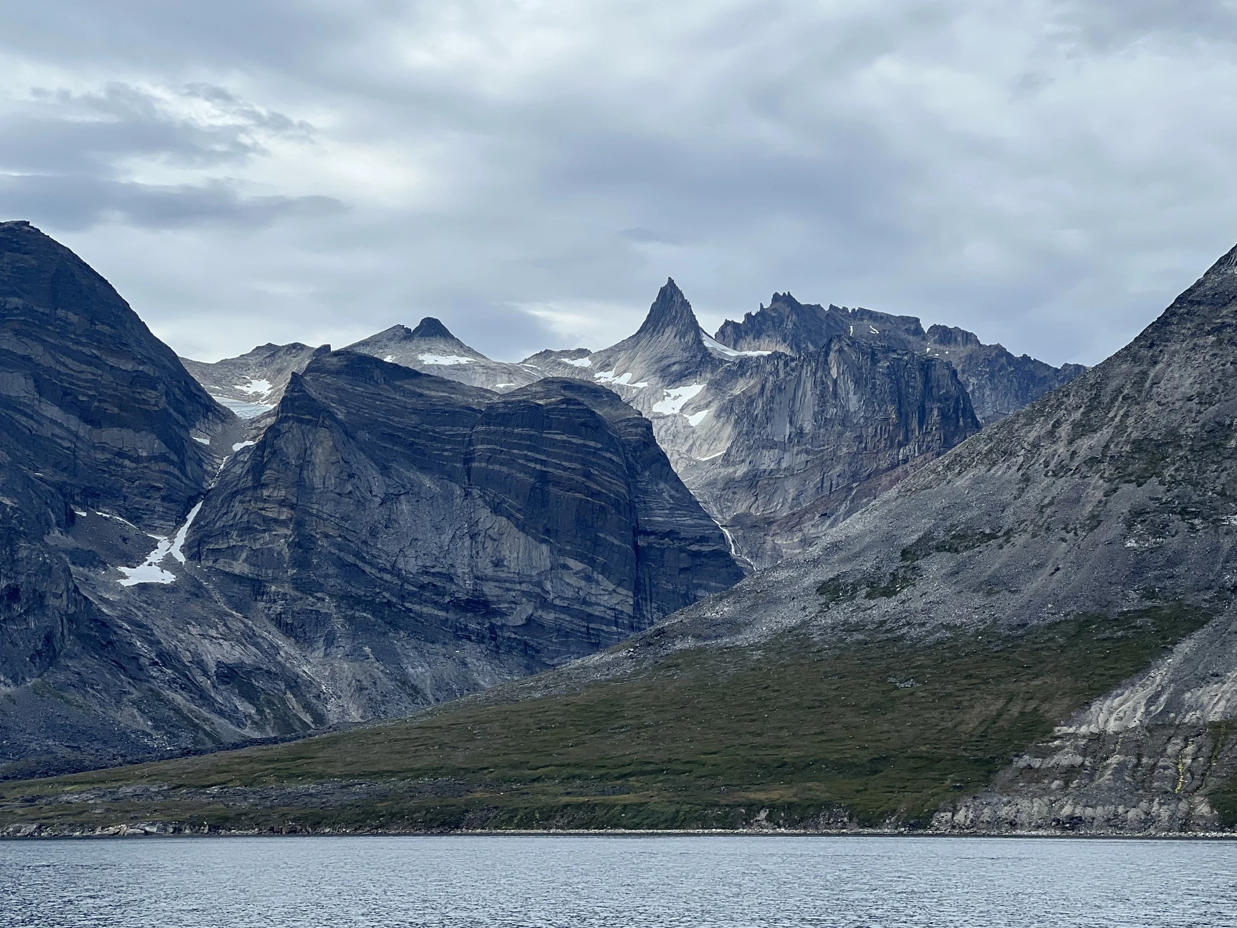
The route passes behind the island of Dronning Louise, initially in quite tight quarters, so when we rounded the bend and saw this bergy bit, we were relieved to have the room to squeak by. On the chart, all those fjords are headed by glaciers. The Greenland ice sheet stretches to the water all along this south eastern shoreline. It calves off and the lumps of ice float through the waterways, incredible shapes and colors.
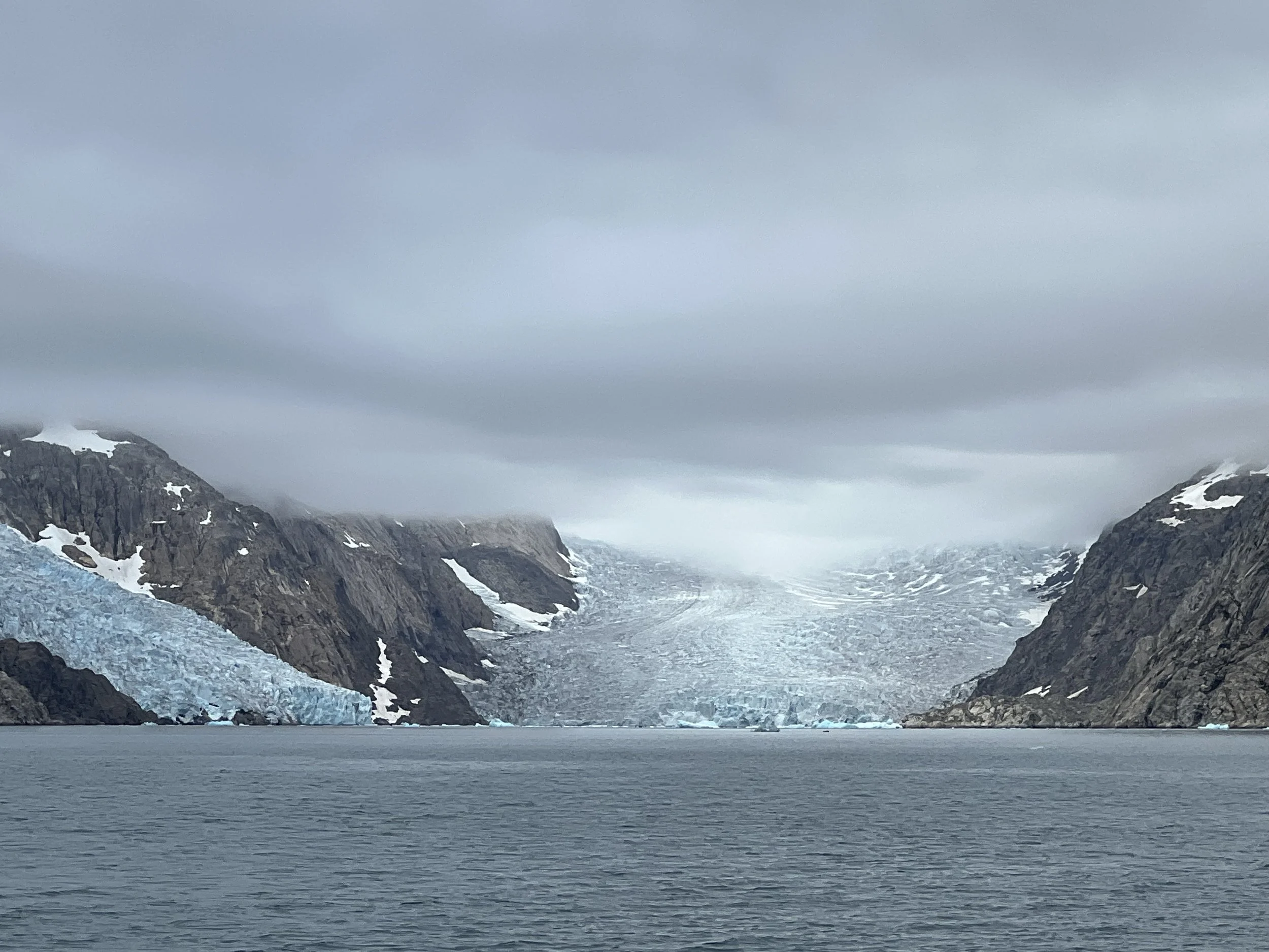
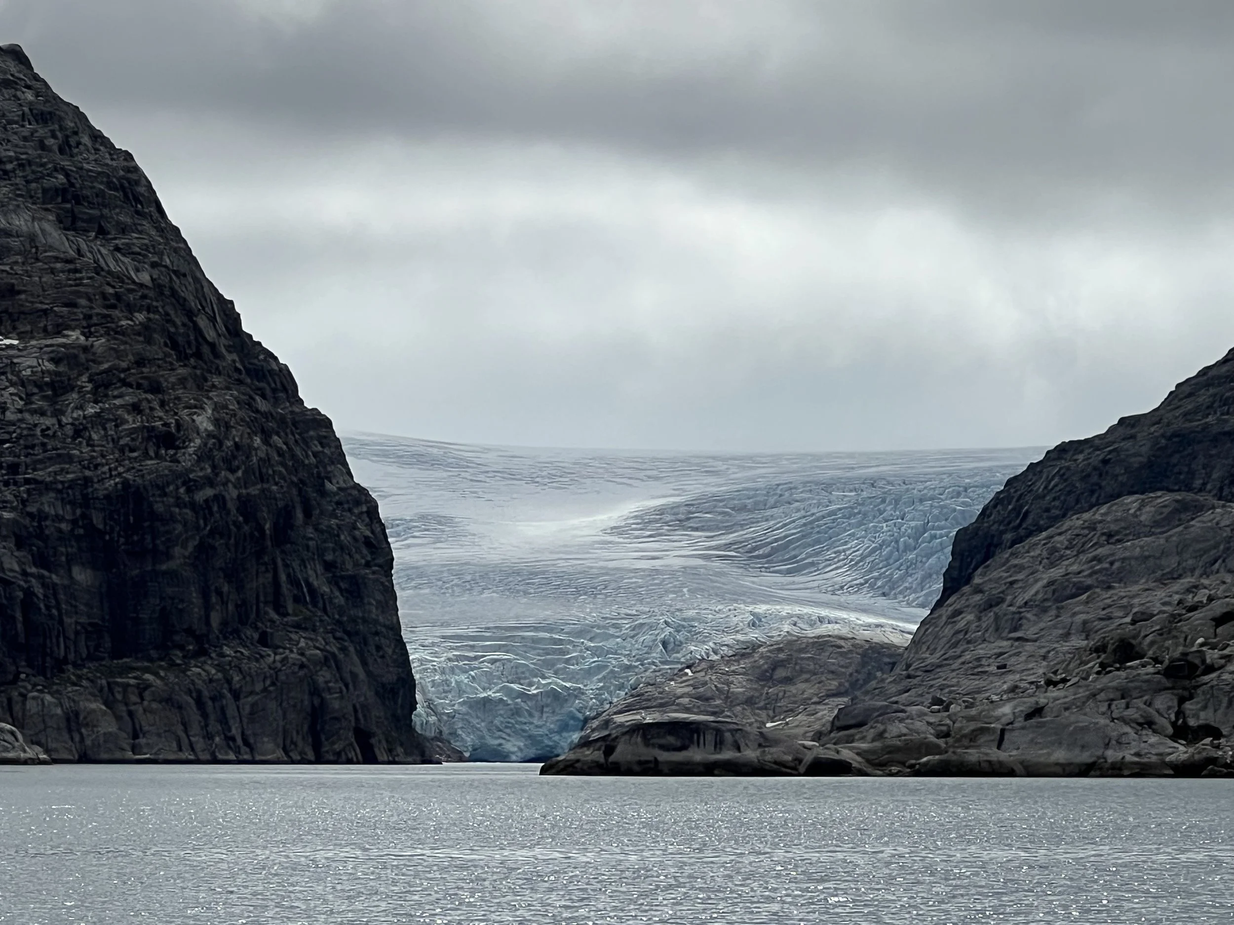
Greenland ice sheet meets the water.
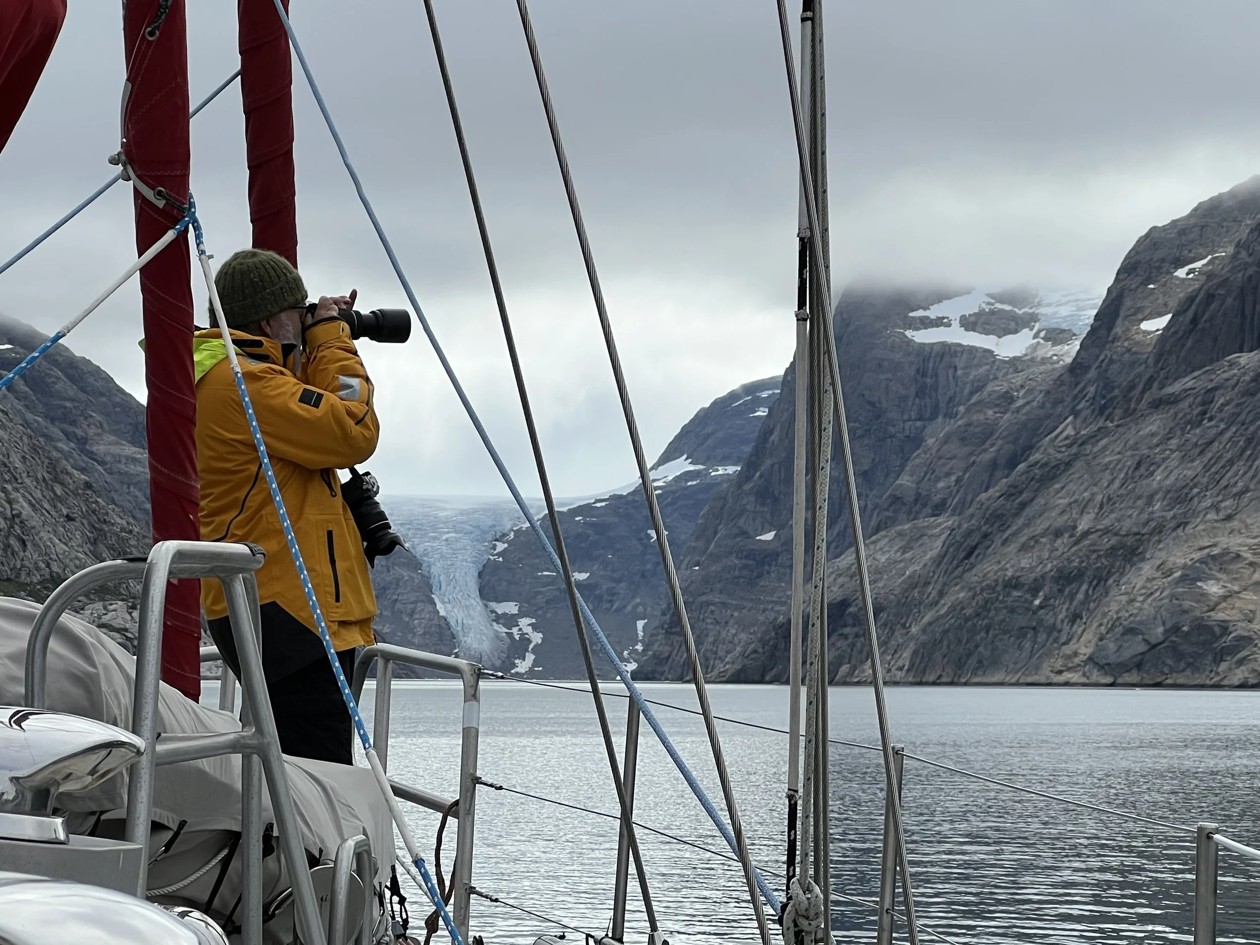
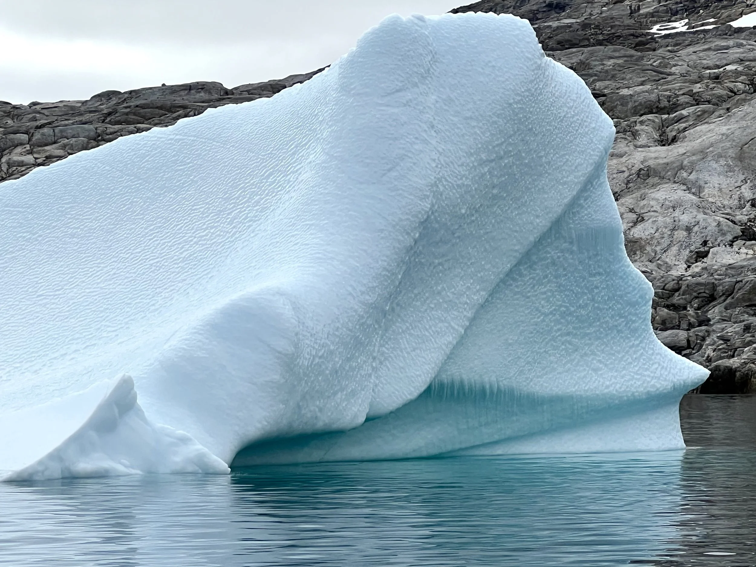
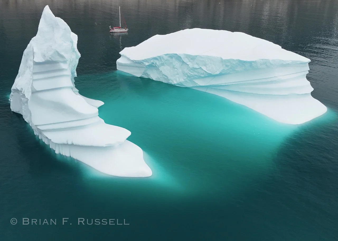
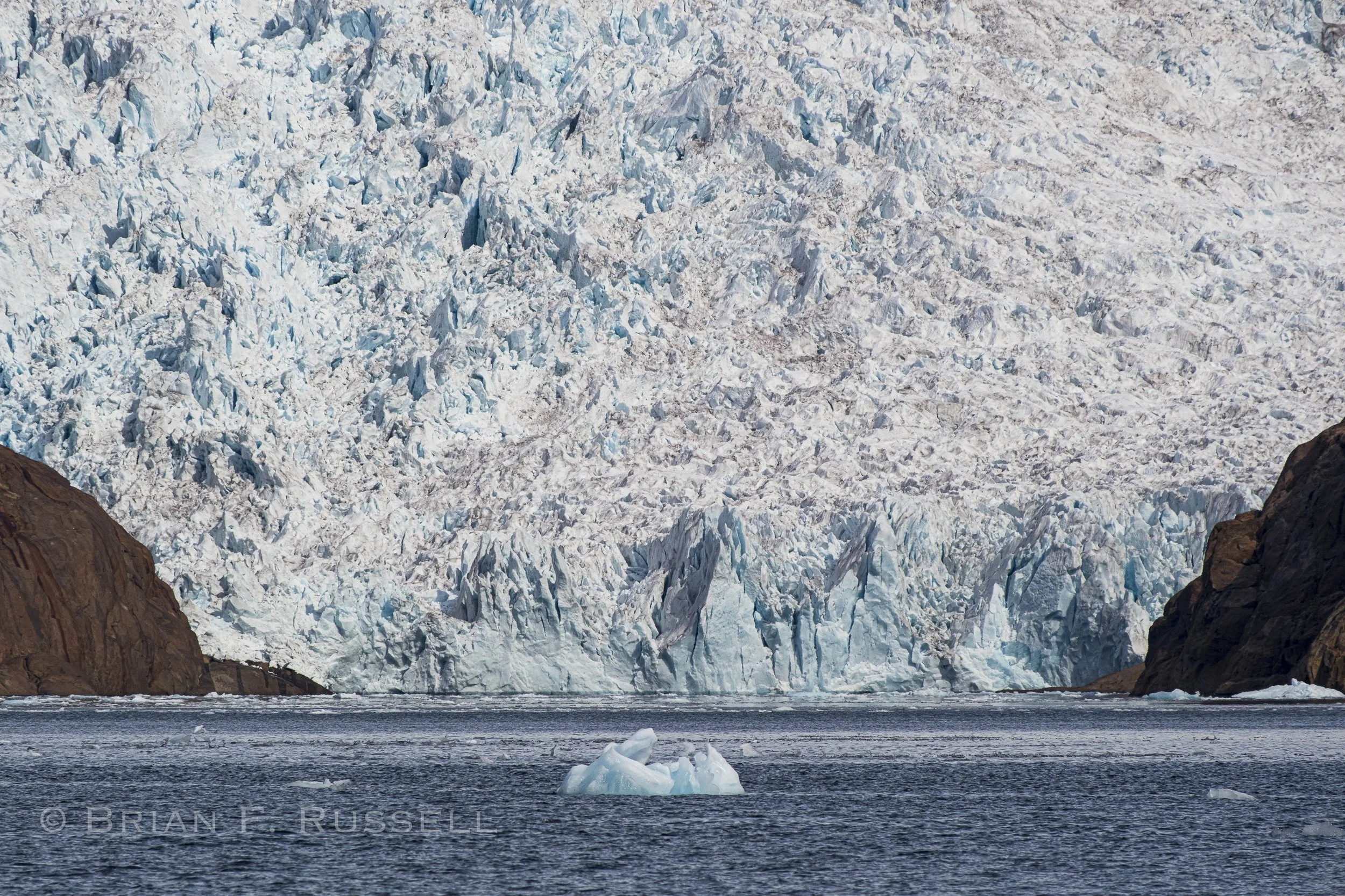
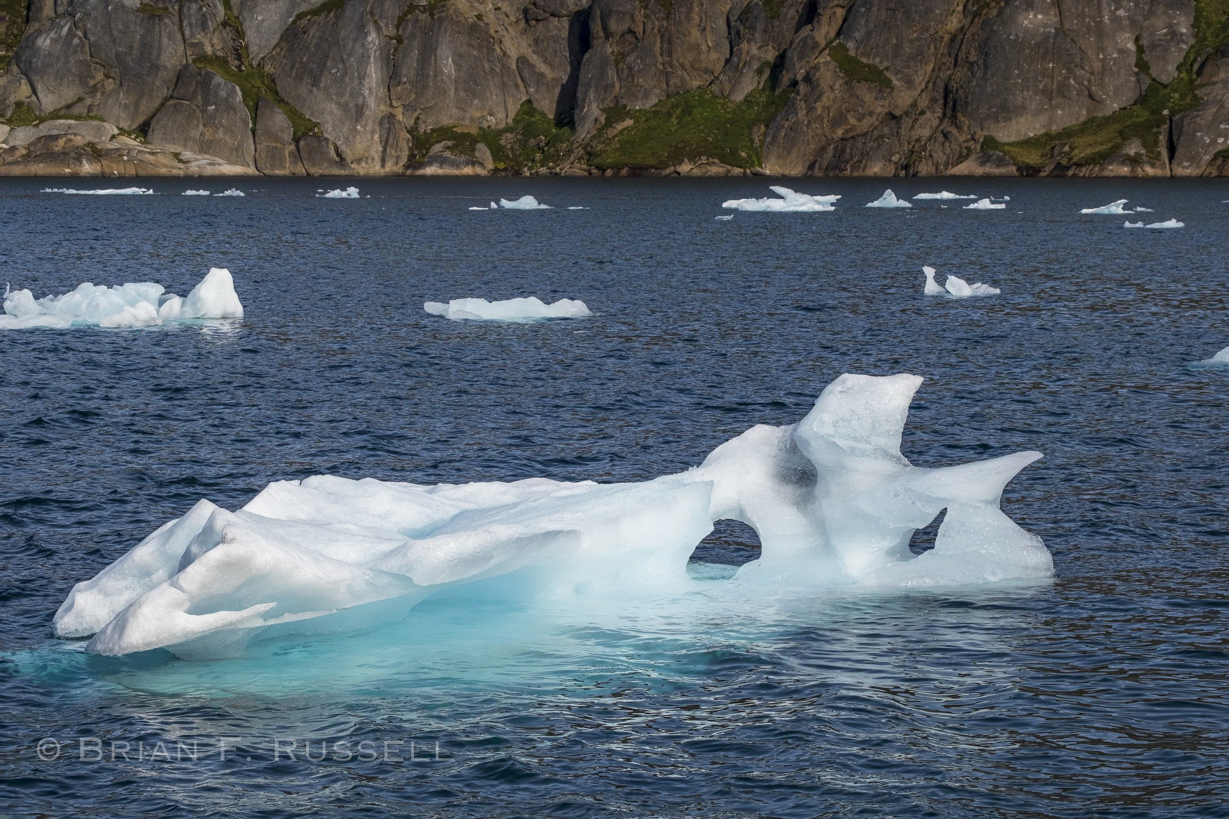
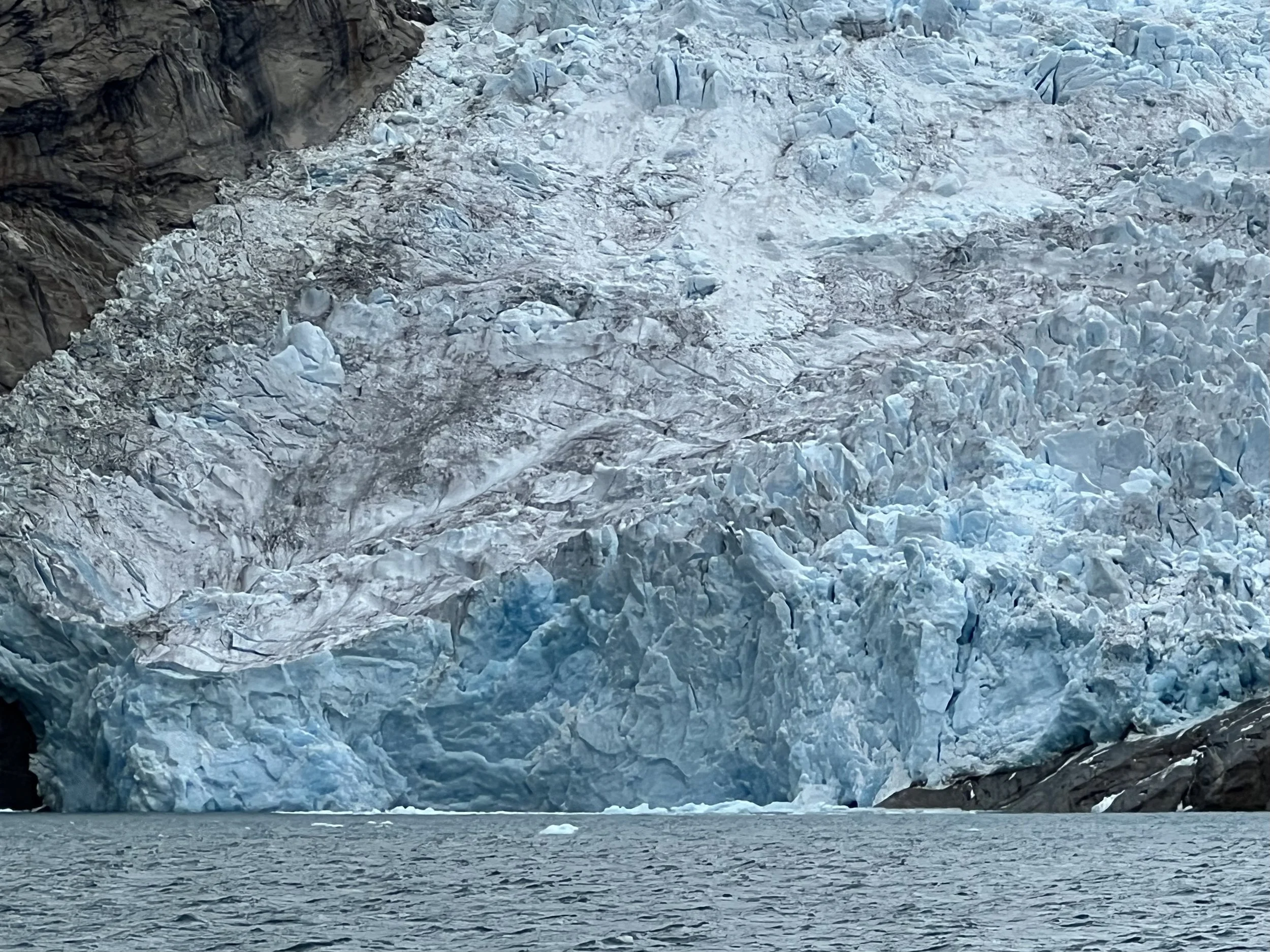
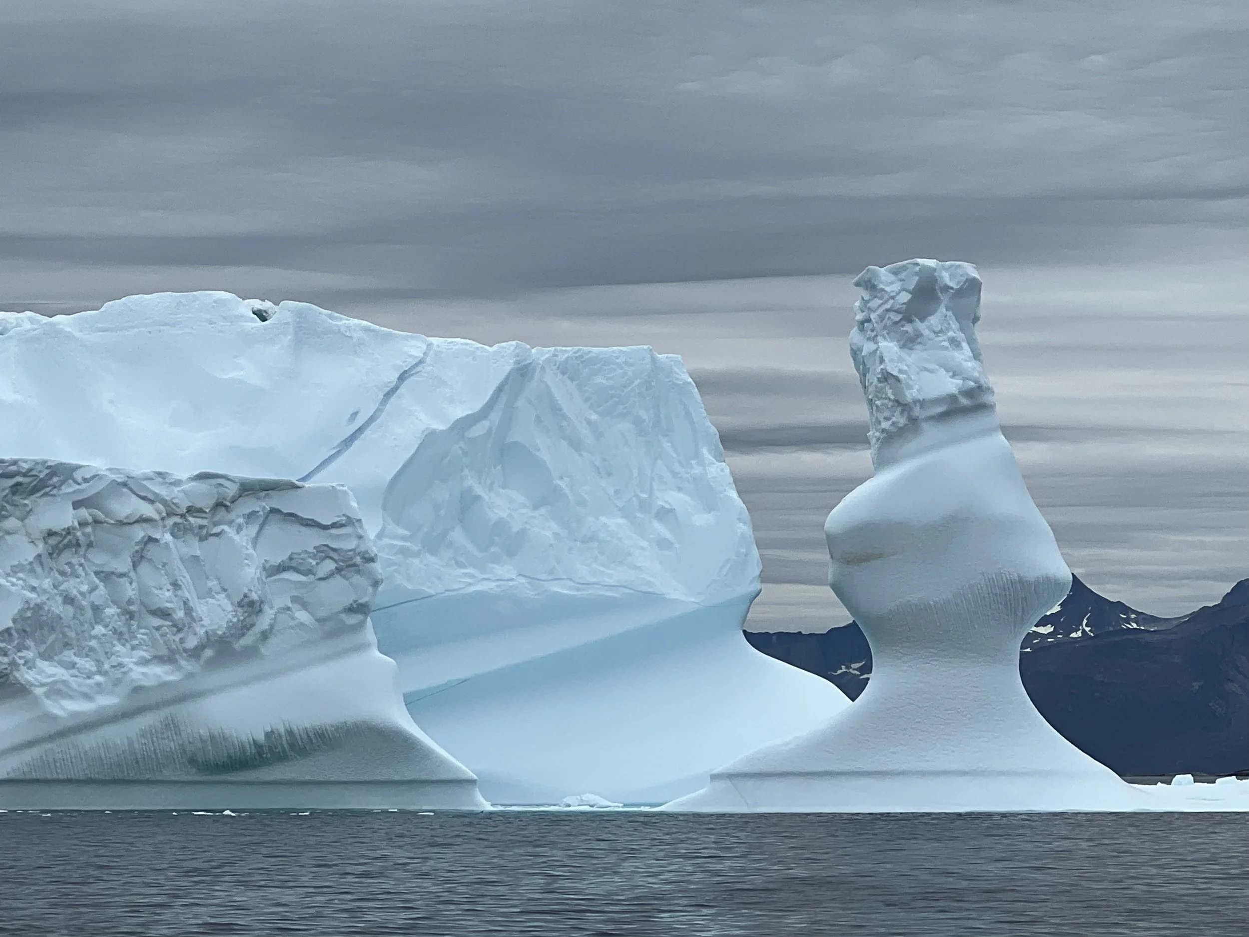
It is prudent to keep some distance between the icebergs and your boat. They are unpredictable and may calve fragments off, completely break apart or even flip. Even the ones that are grounded in shallow water are not safe, there could be an underwater fragment that sheers off and flies up to the surface some distance from the iceberg itself. In this passage out to the ocean, it was hard to keep a safe distance from some of them, you could almost reach out and touch their chilly surfaces. Fortunately we emerged unscathed.
Close encounters.
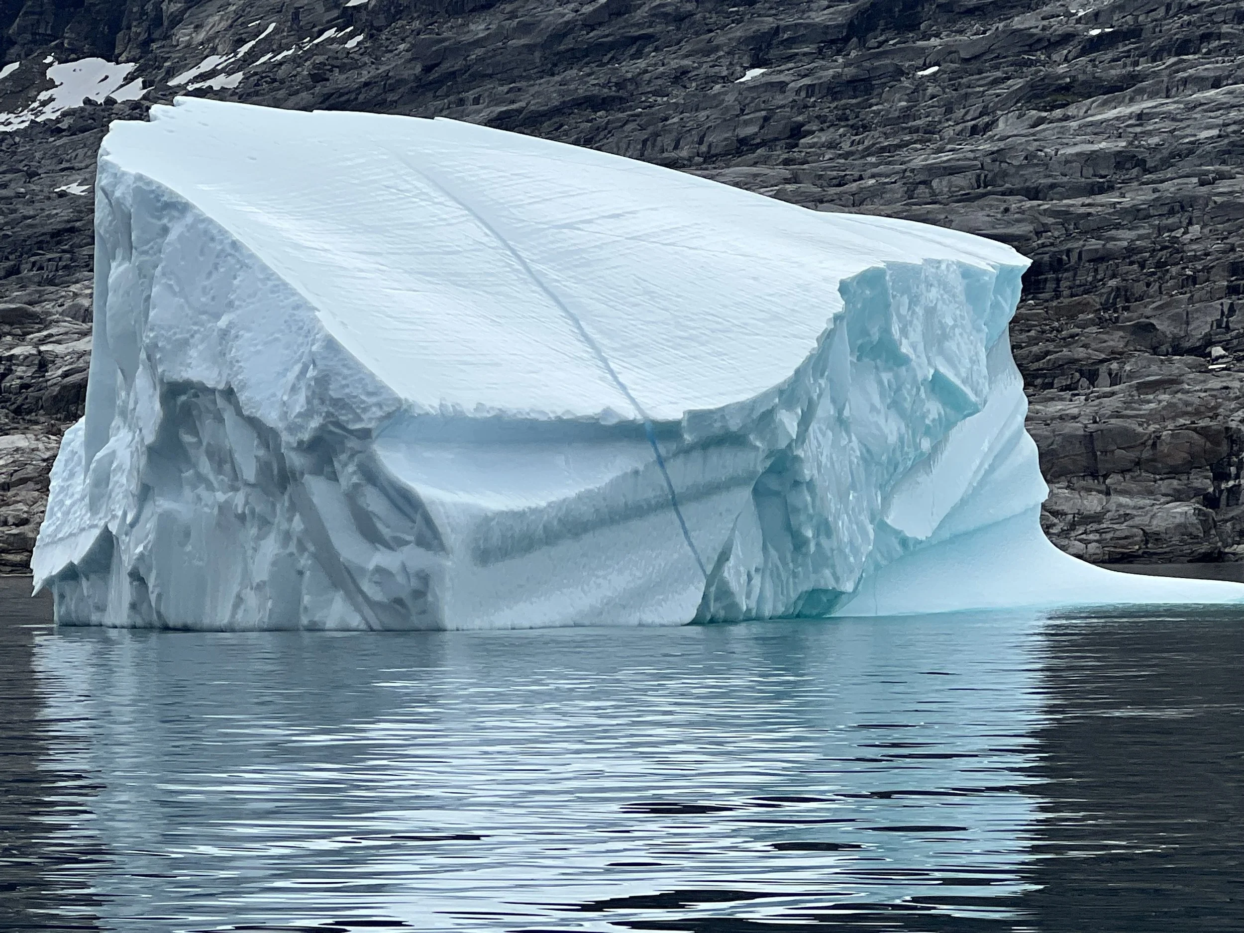

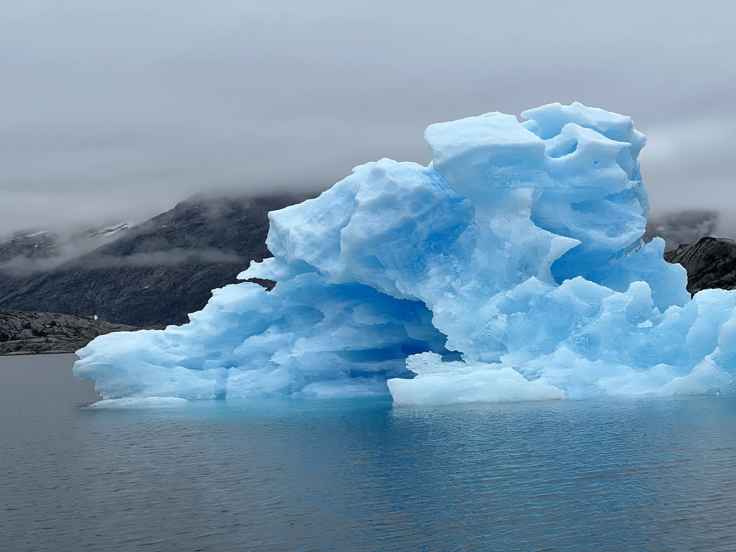
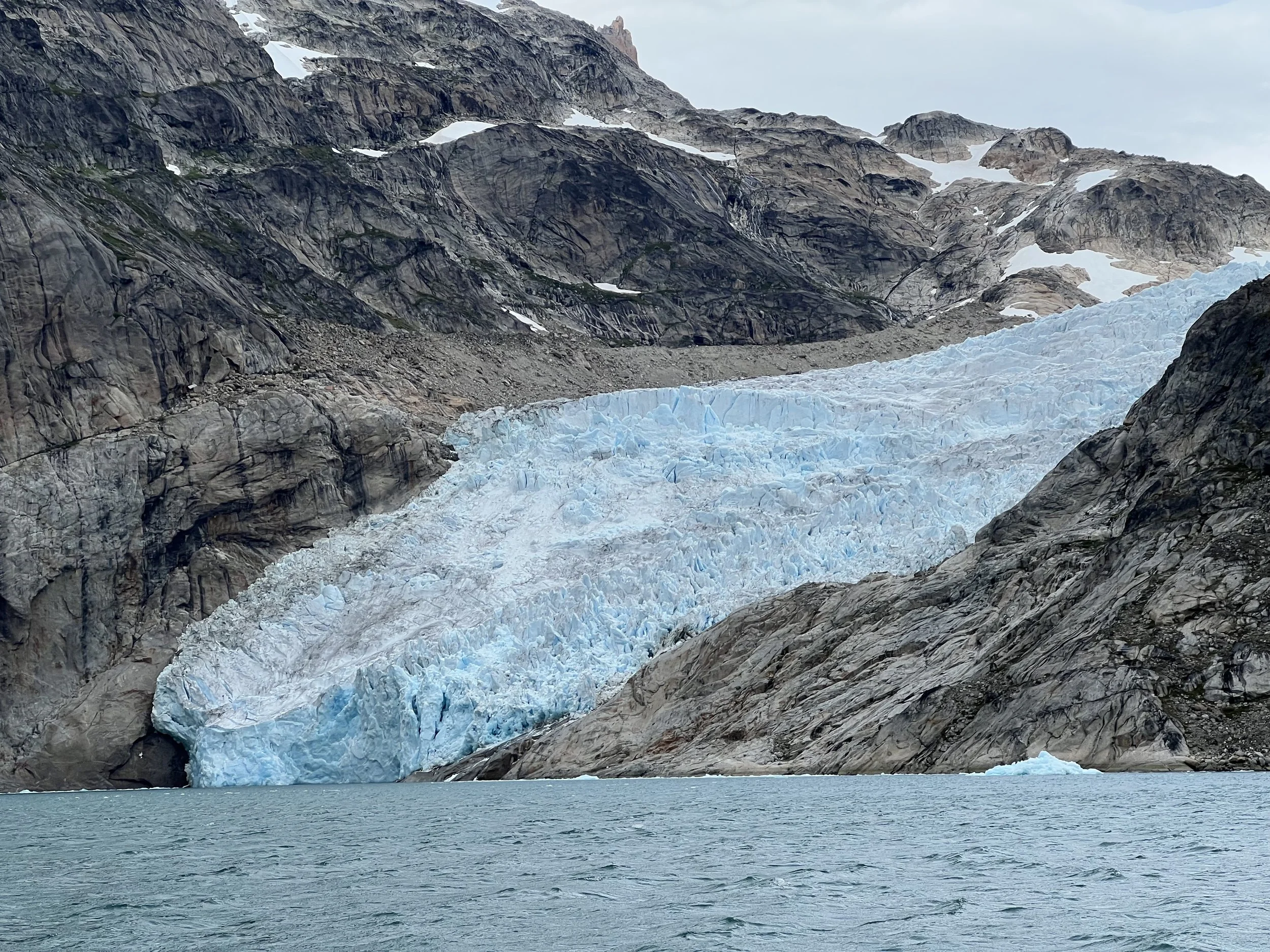
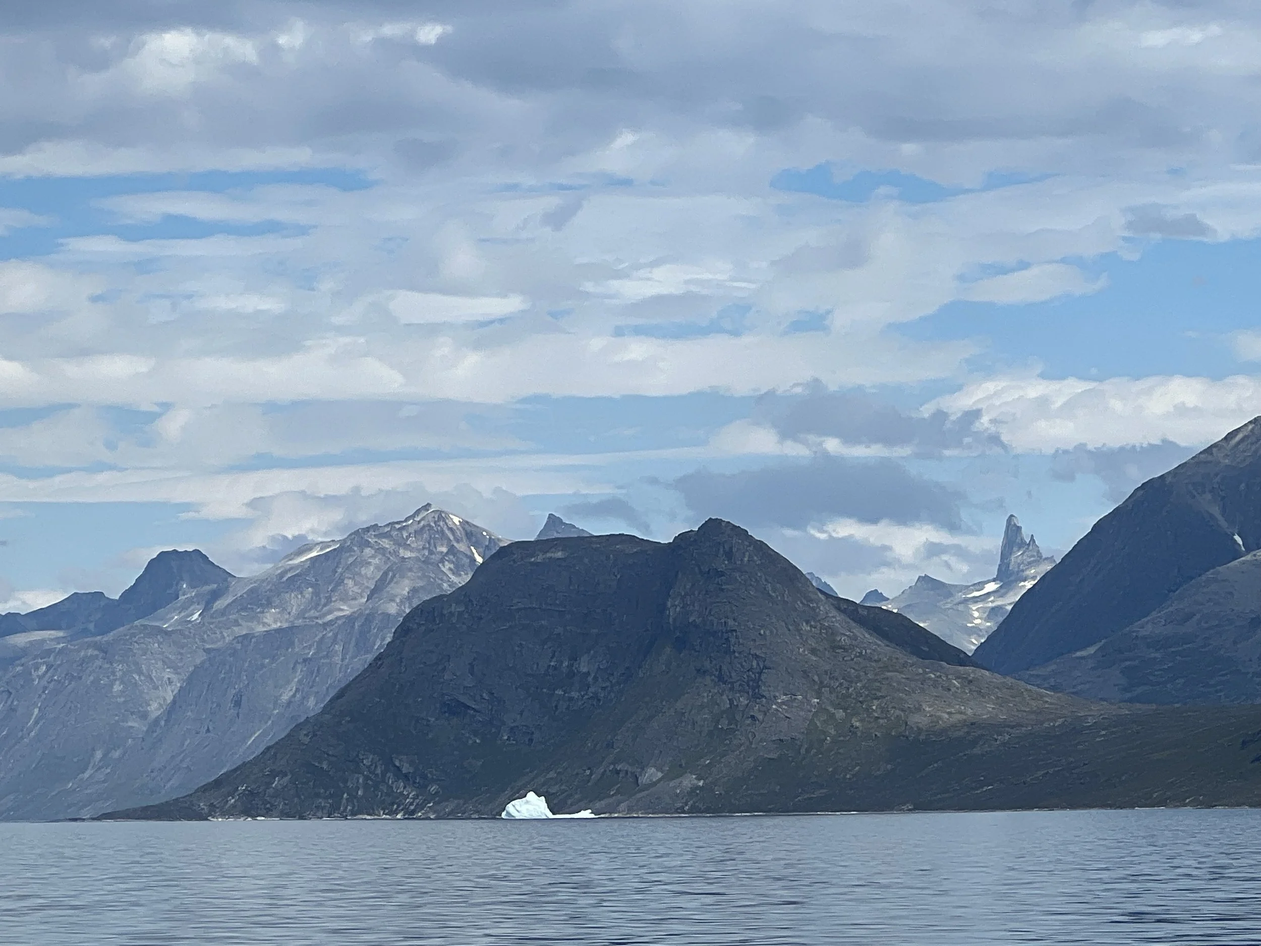
What a morning. We exited the fjords and continued south down the coastline having two of my must-see-in-Greenland boxes checked: glaciers and a close encounter with an iceberg. Our next stop was the entrance to Prins Christian Sund, the shortcut across the southern tip of Greenland.
A glacial tongue reaching the ocean. Note the bergy bit and growlers, vigilance is necessary.
The start of Prins Christian Sund.
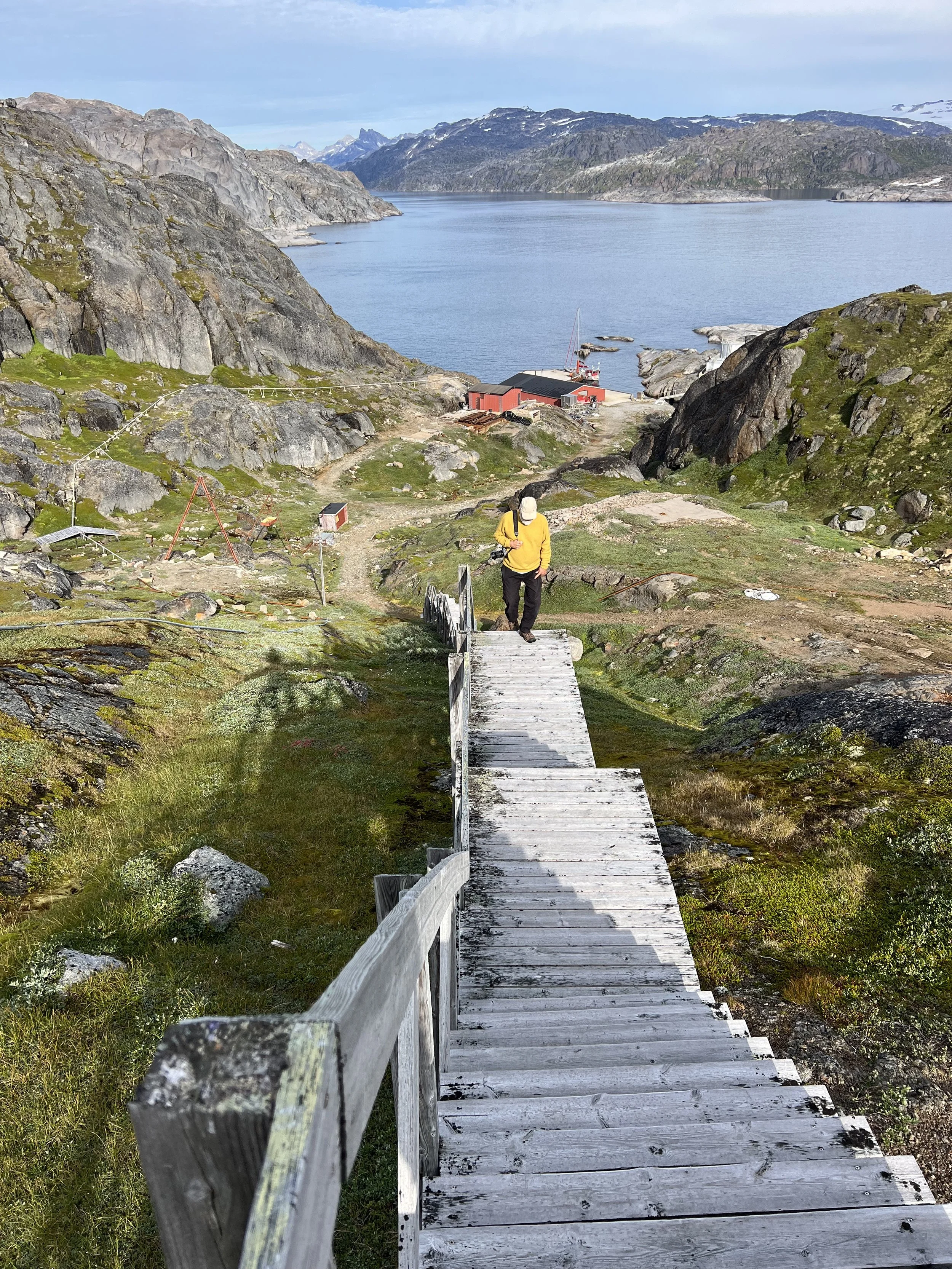
The sun came out as we entered Prins Christian Sund and the calm windless conditions allowed us to slip into the tiny harbor and tie up to the Danish weather station dock just inside the entrance to the Sound. It was tight quarters, but we made it without hitting any of those submerged rocks.

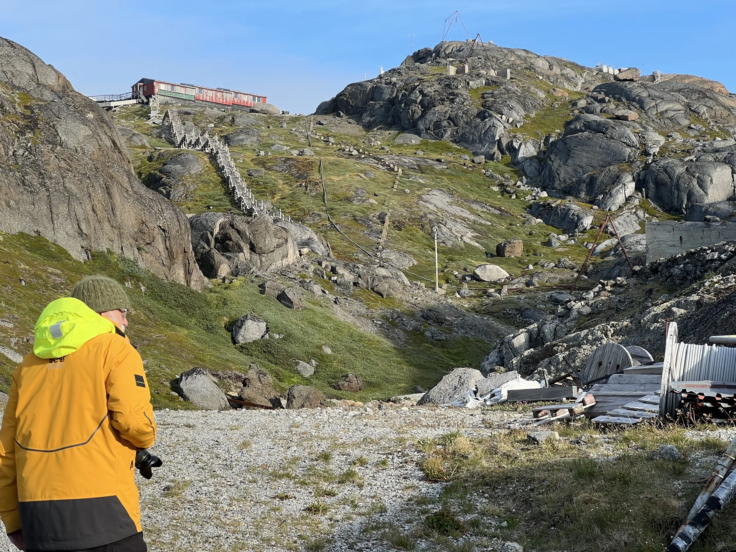
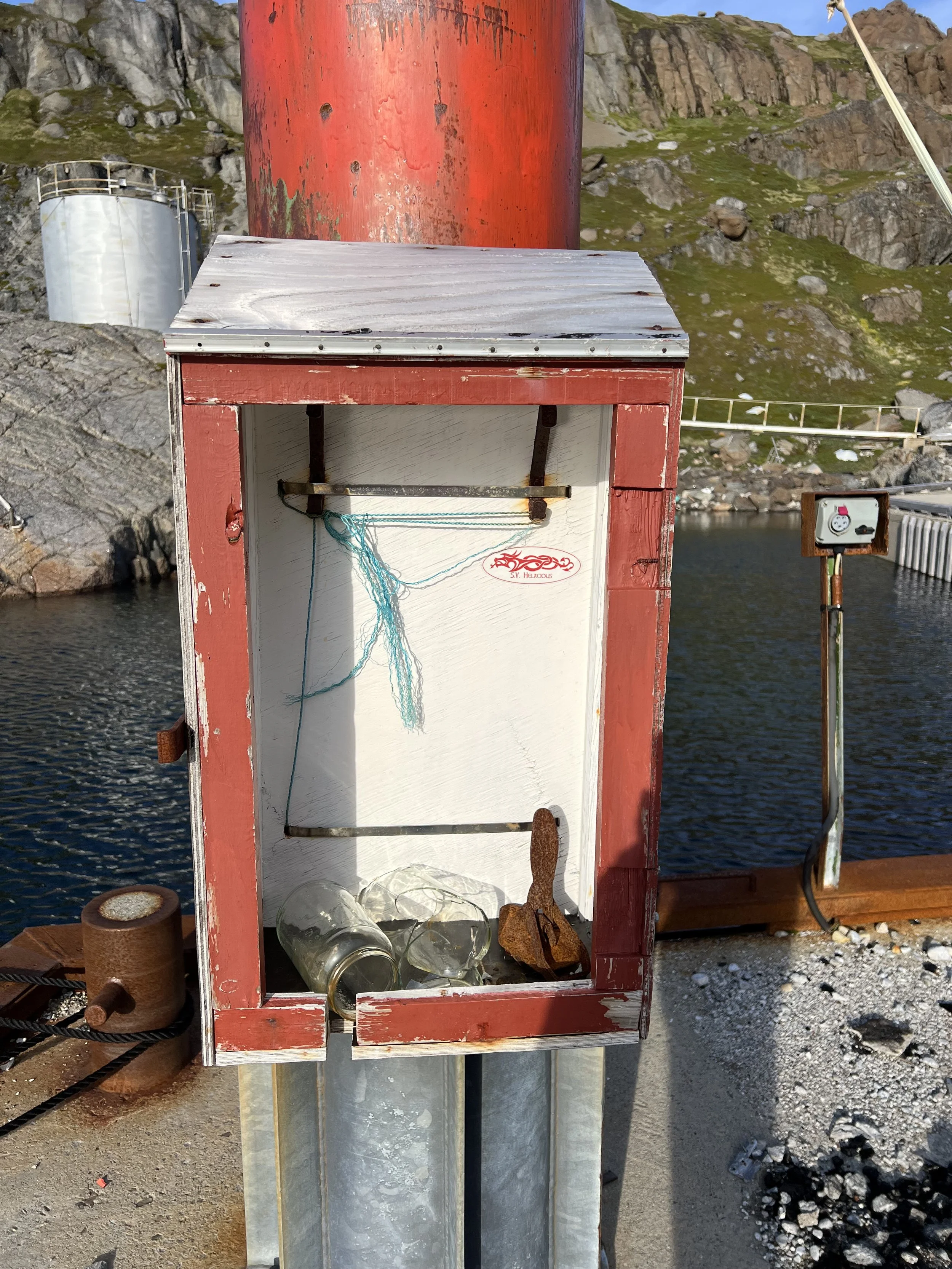
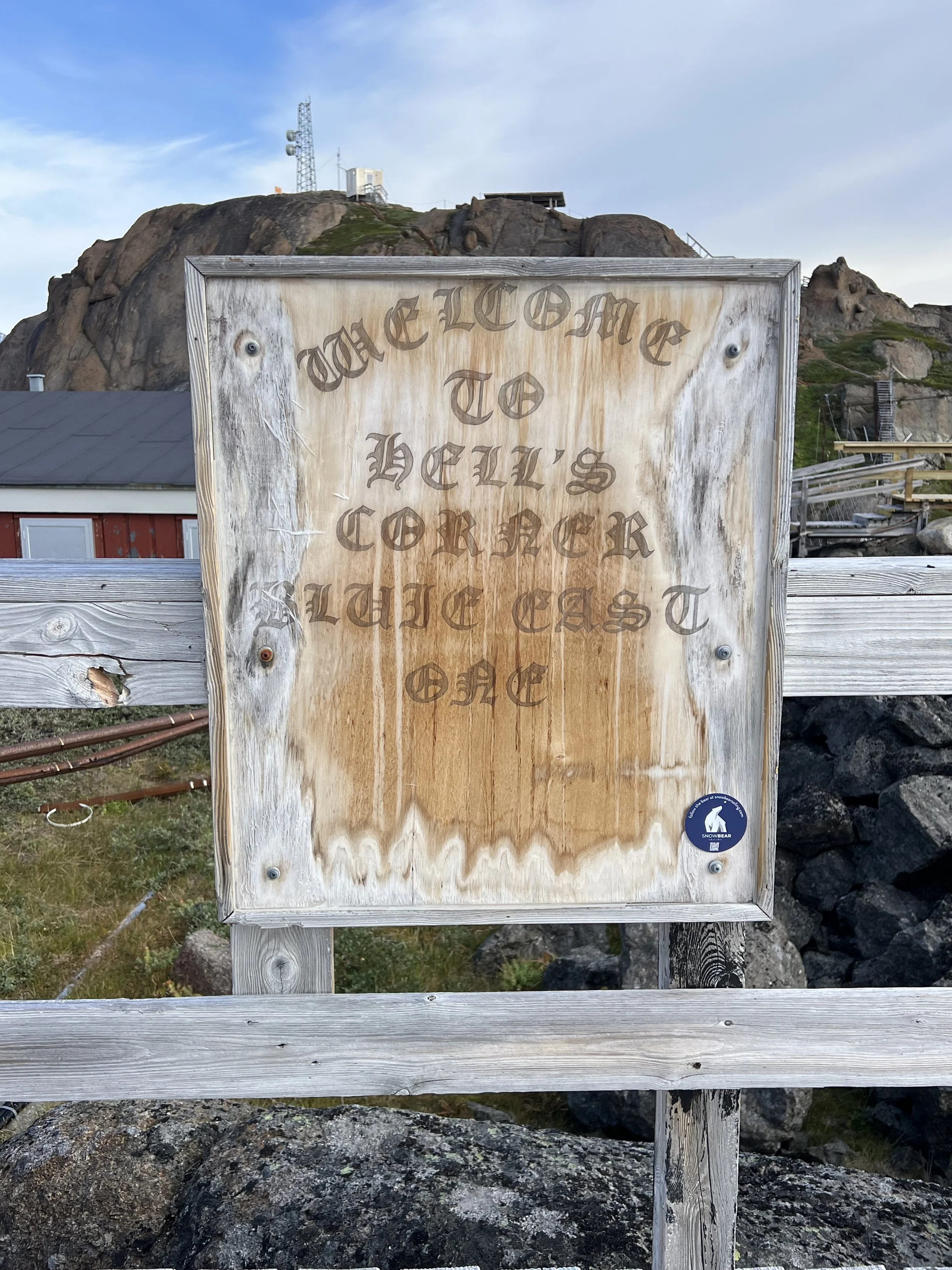
The weather station used to be fully staffed, and had a fabulous reputation as very welcoming to passing yachts, treating them to coffee and pastries. Unfortunately it is no longer manned, and as such is begining to fall into disrepair. That did not stop us from exploring, and leaving our Helacious sticker near the dock.
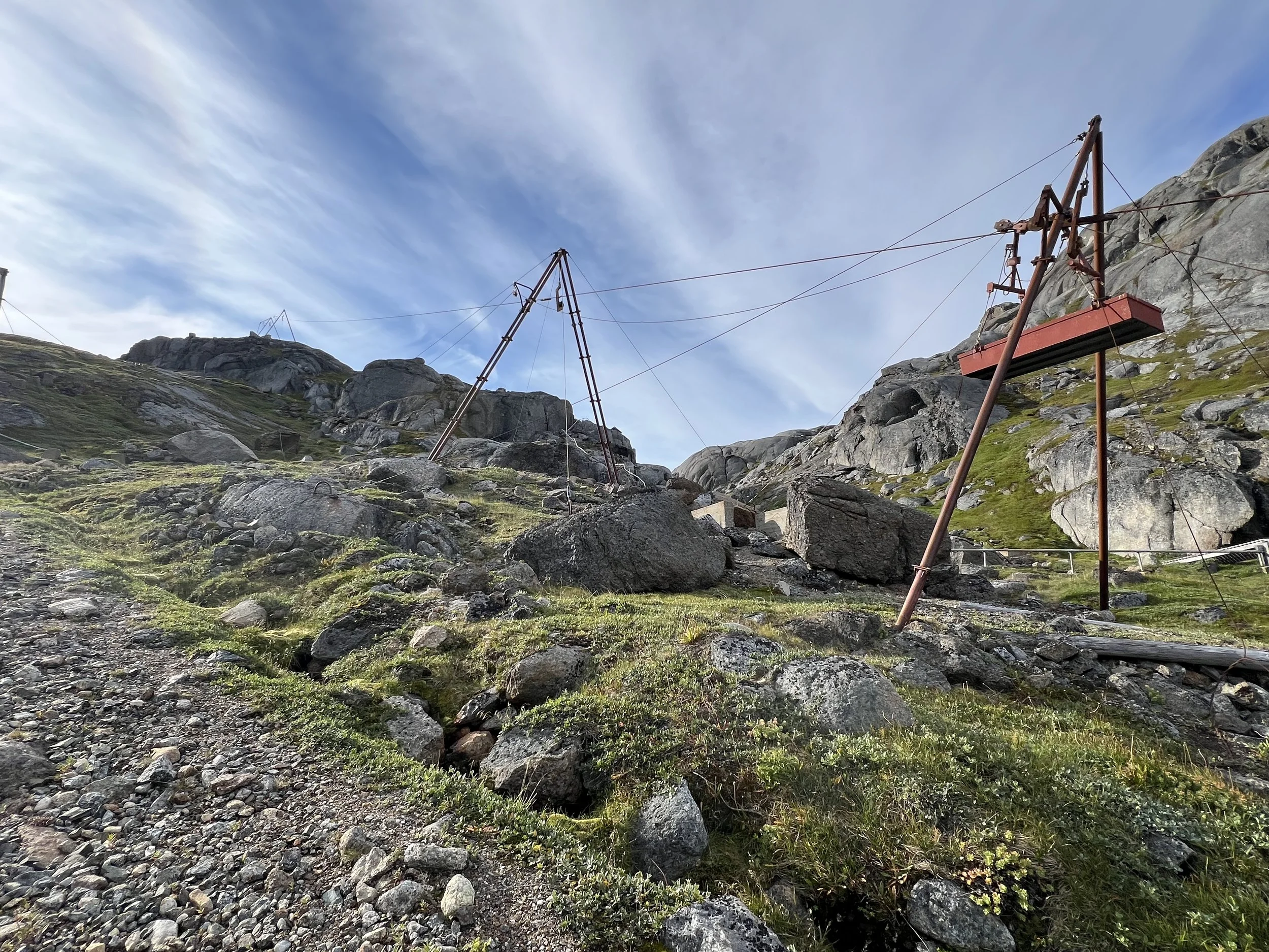
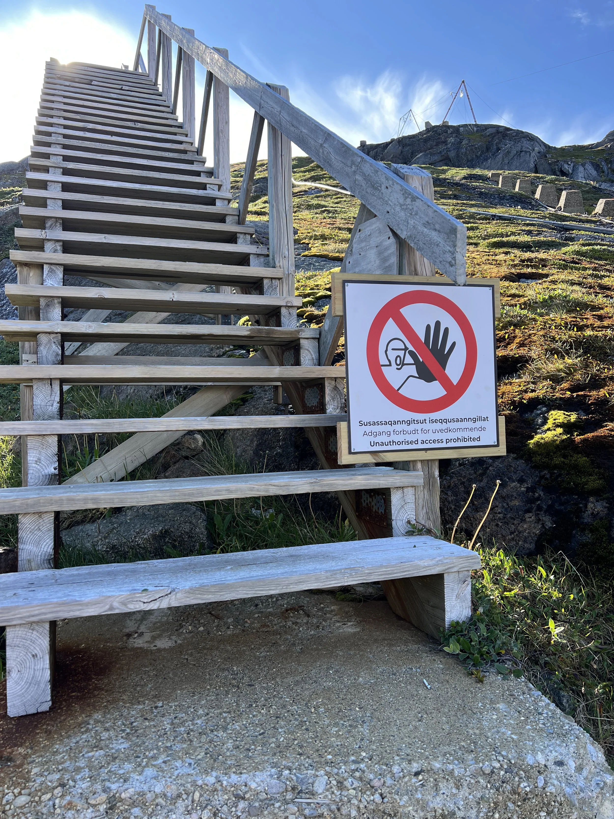
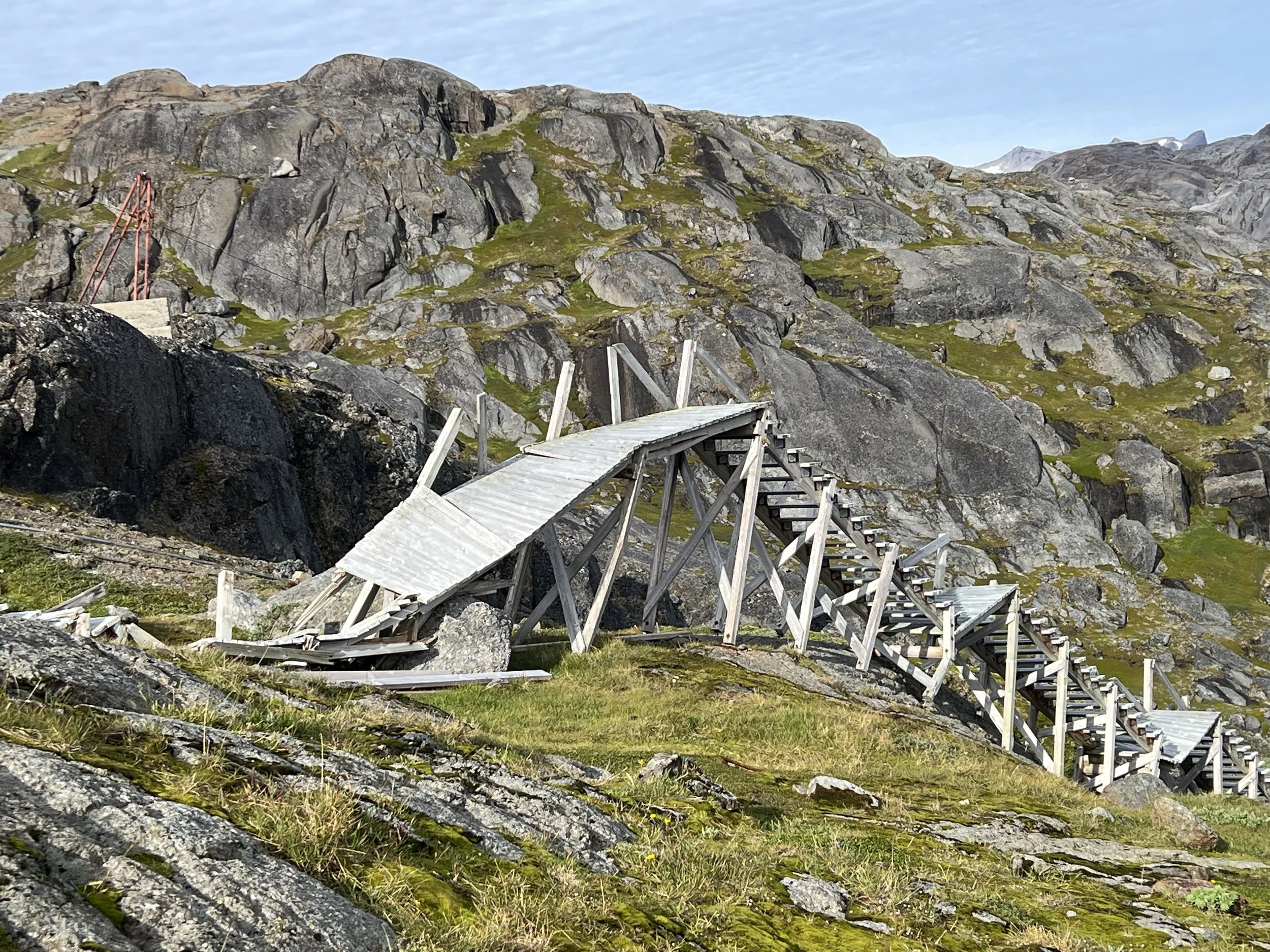
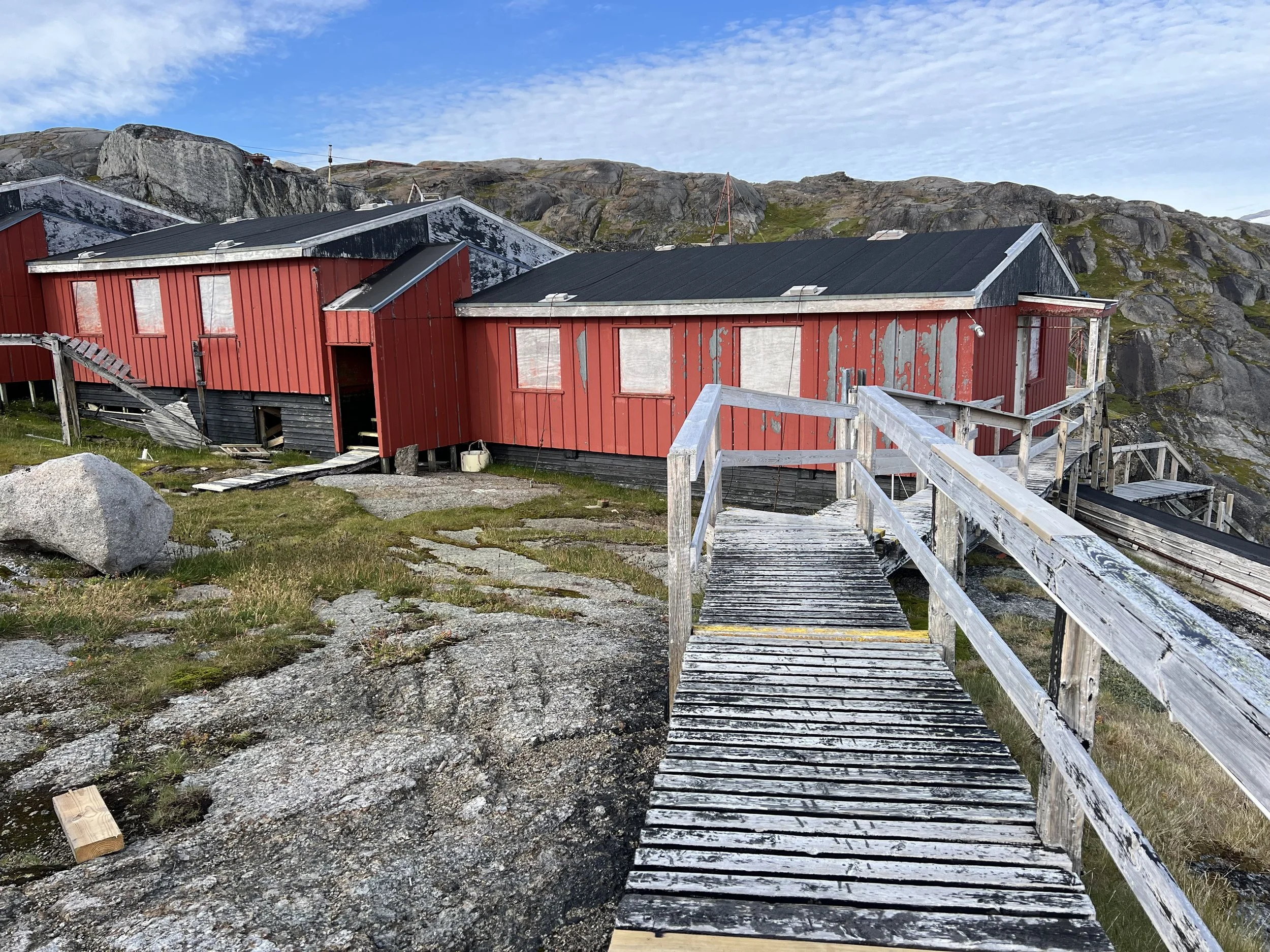
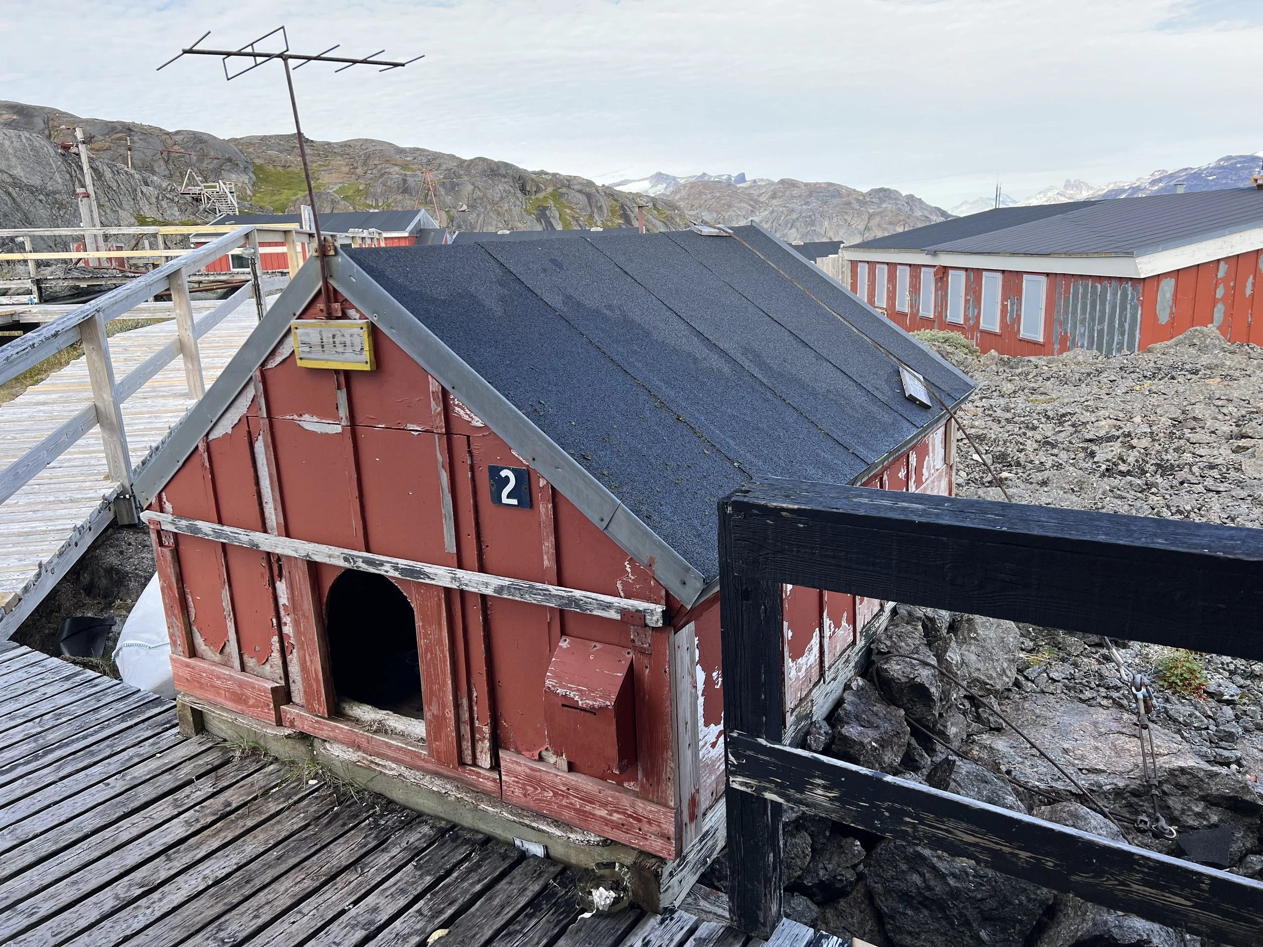
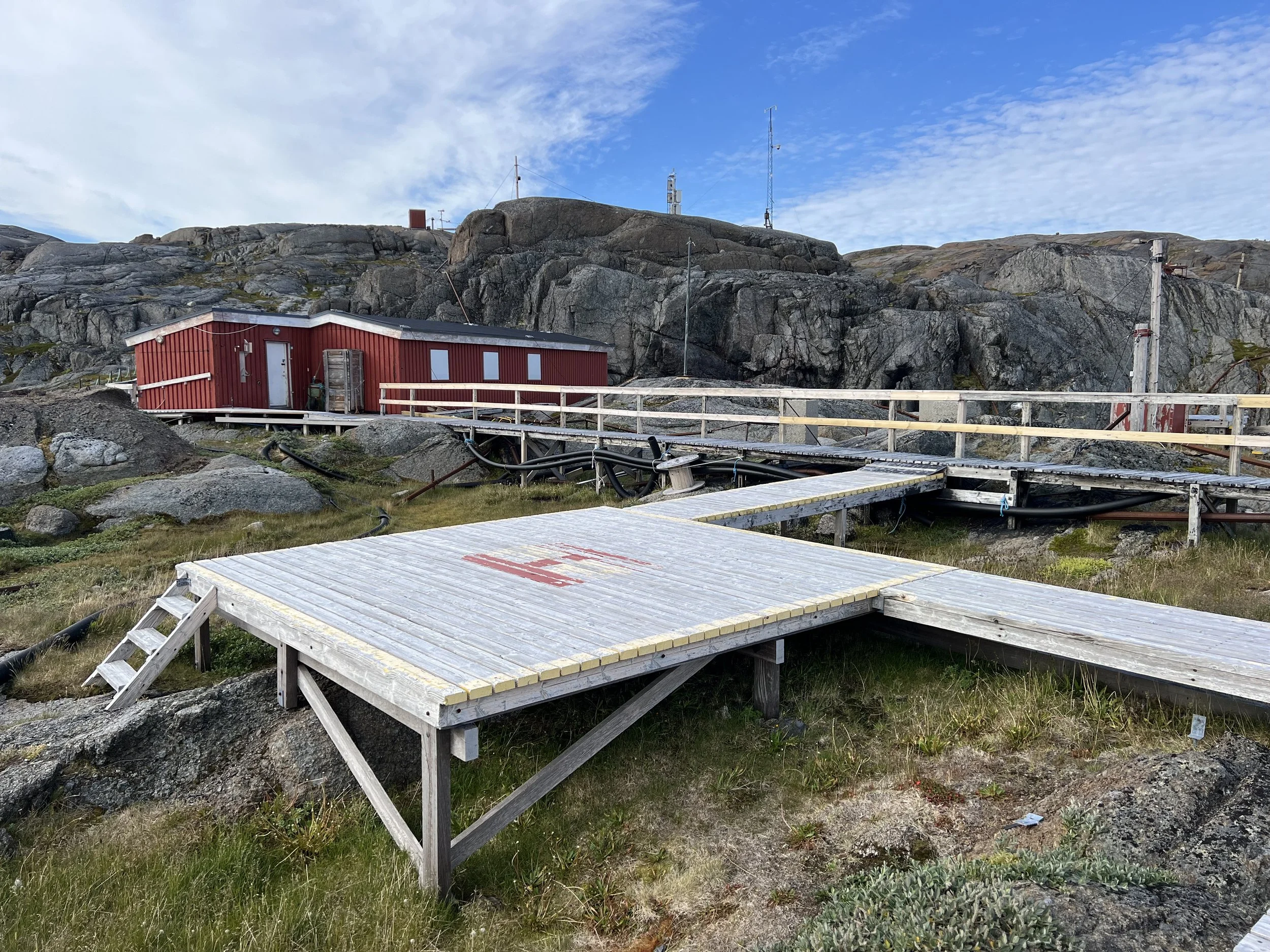
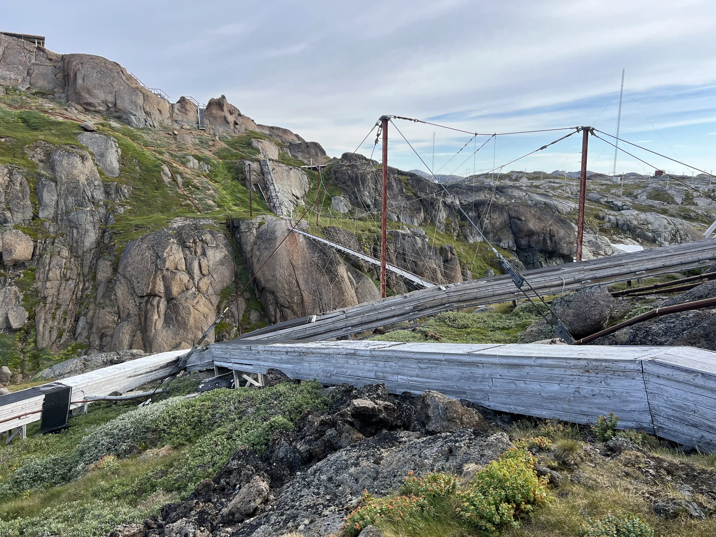
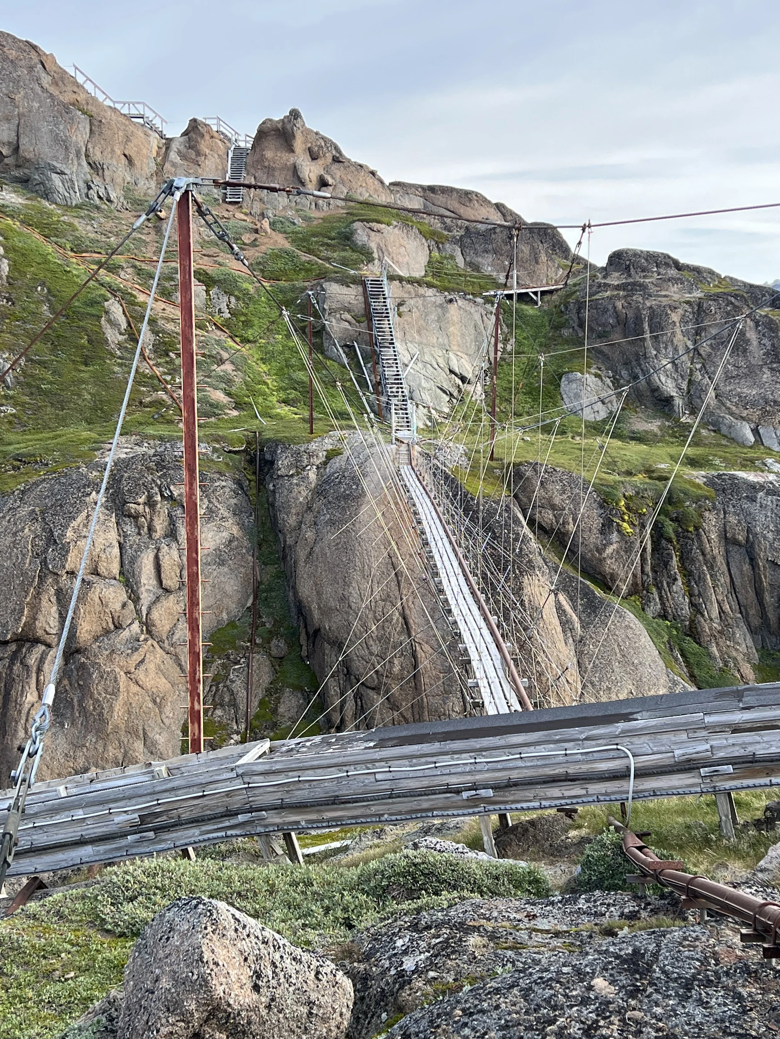
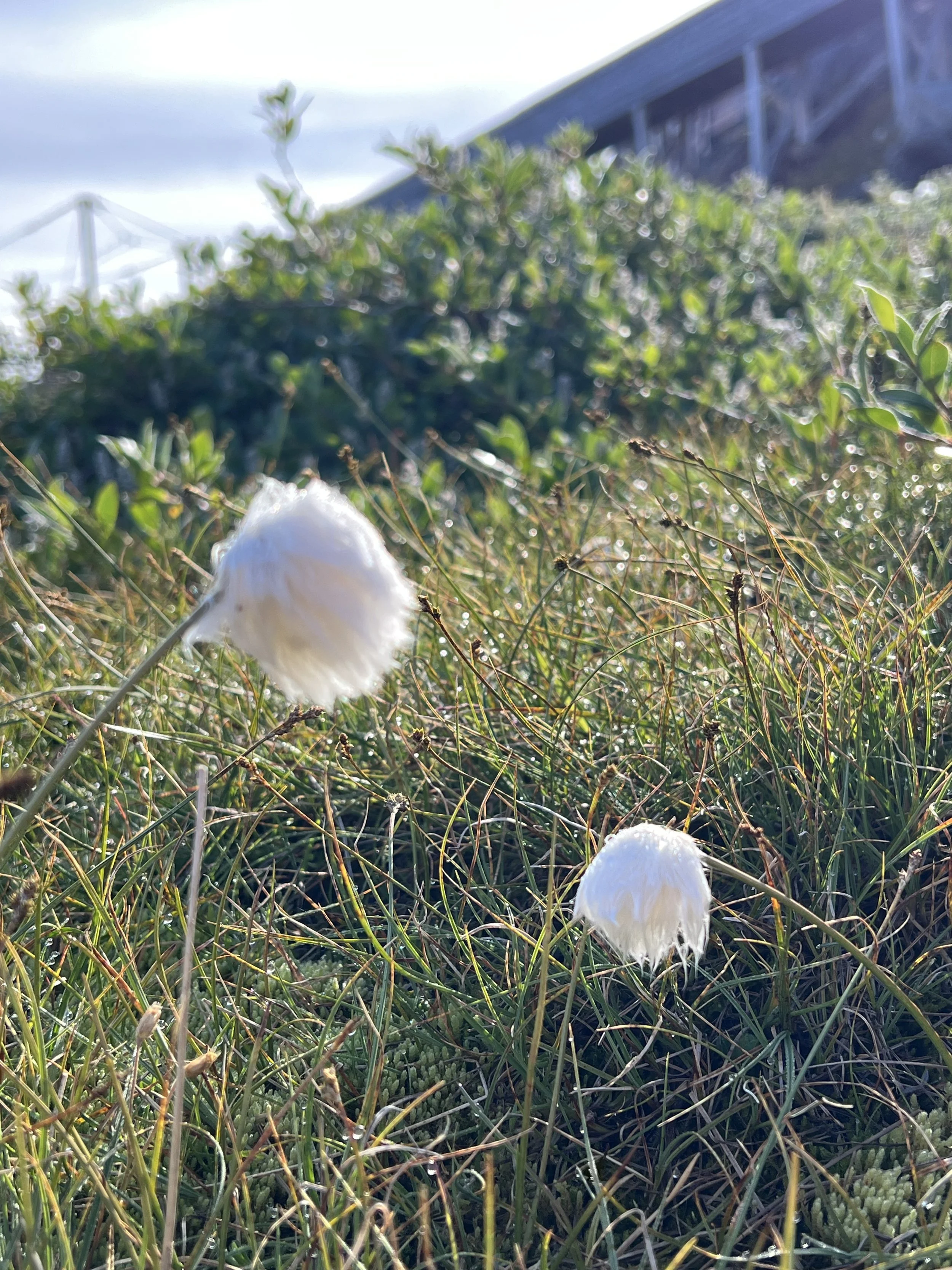
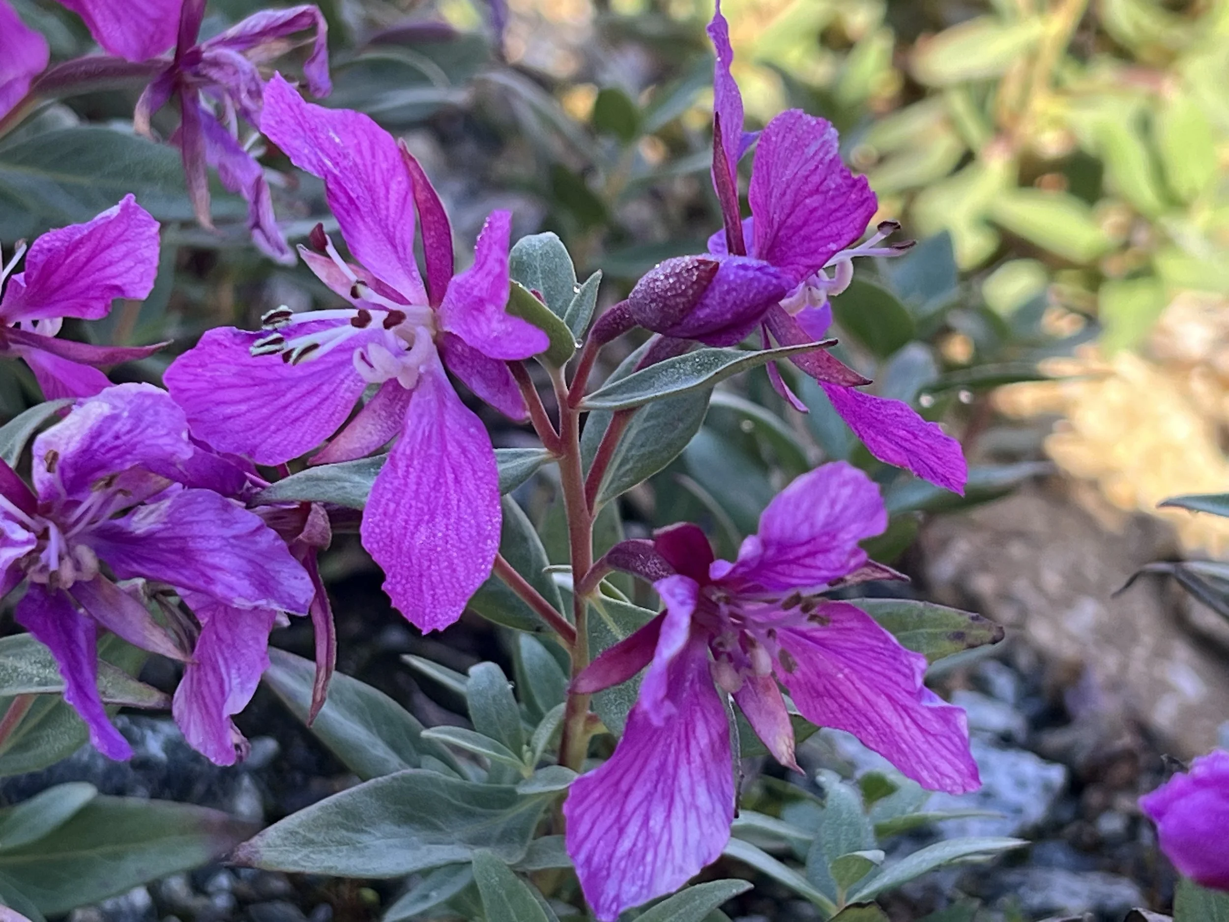
It was interesting to wander around the base, with a tiny helipad and dog kennel. Before you ask, no, we did not cross that suspension bridge, not after seeing that collapsed stairway. The flowers were blooming in the bright sun, and due to the windless weather, the mosquitoes came out in earnest. We retreated to the boat and took care of some boat chores, like replacing the wind sensor at the top of the mast.
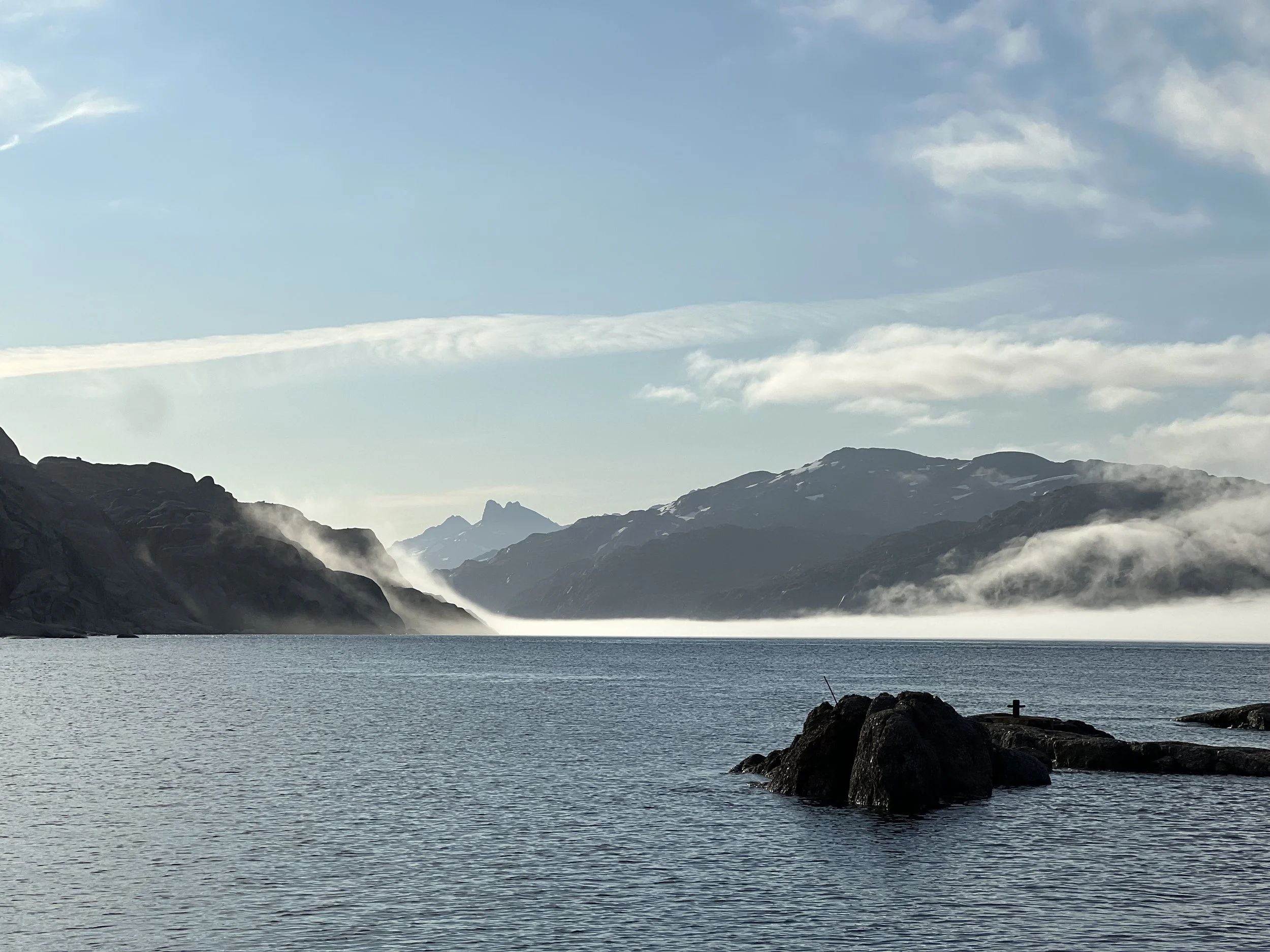
The evening view from the weather station.
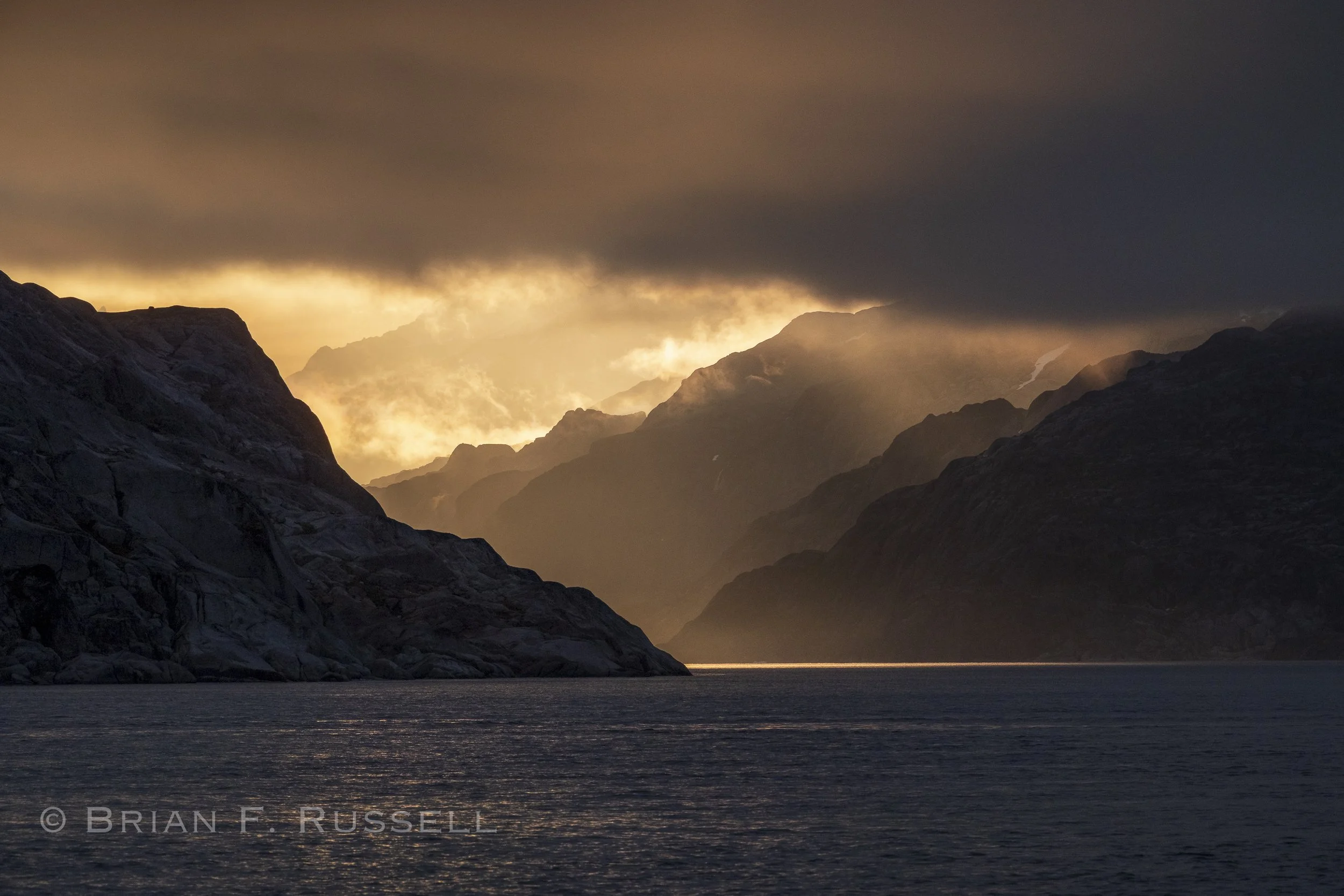
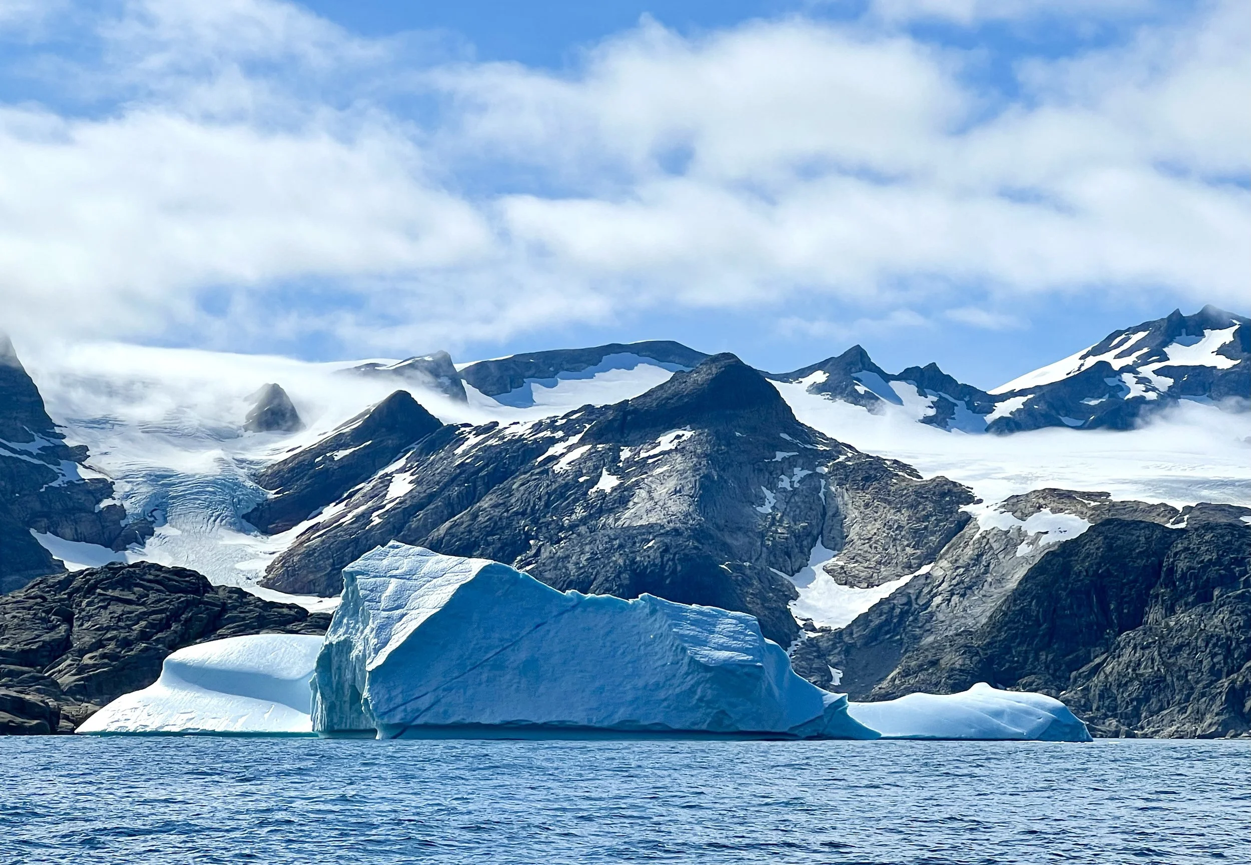
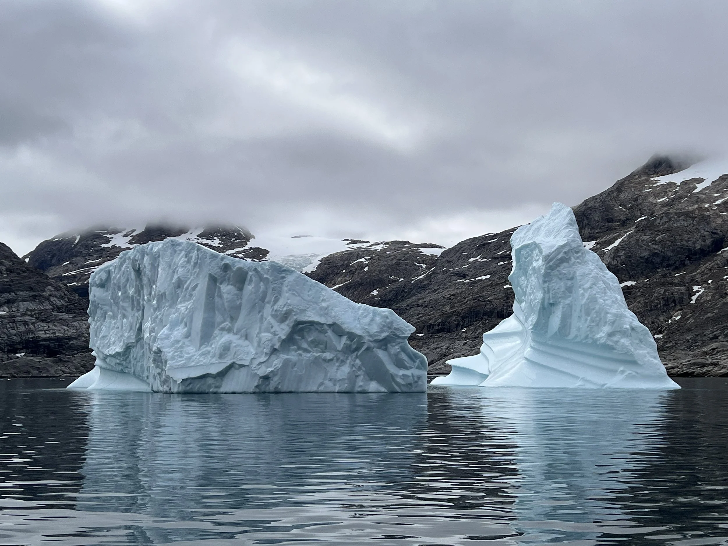
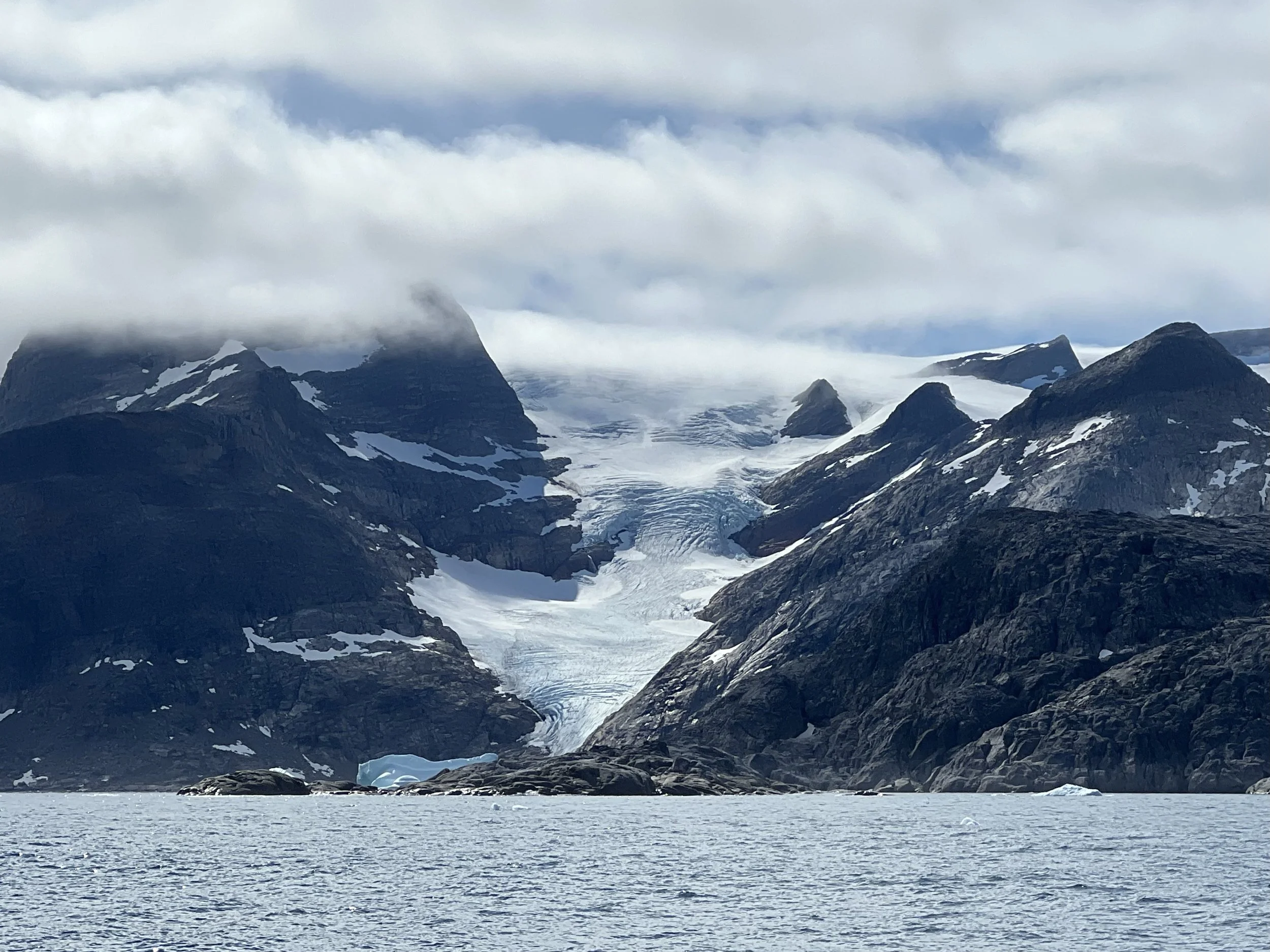
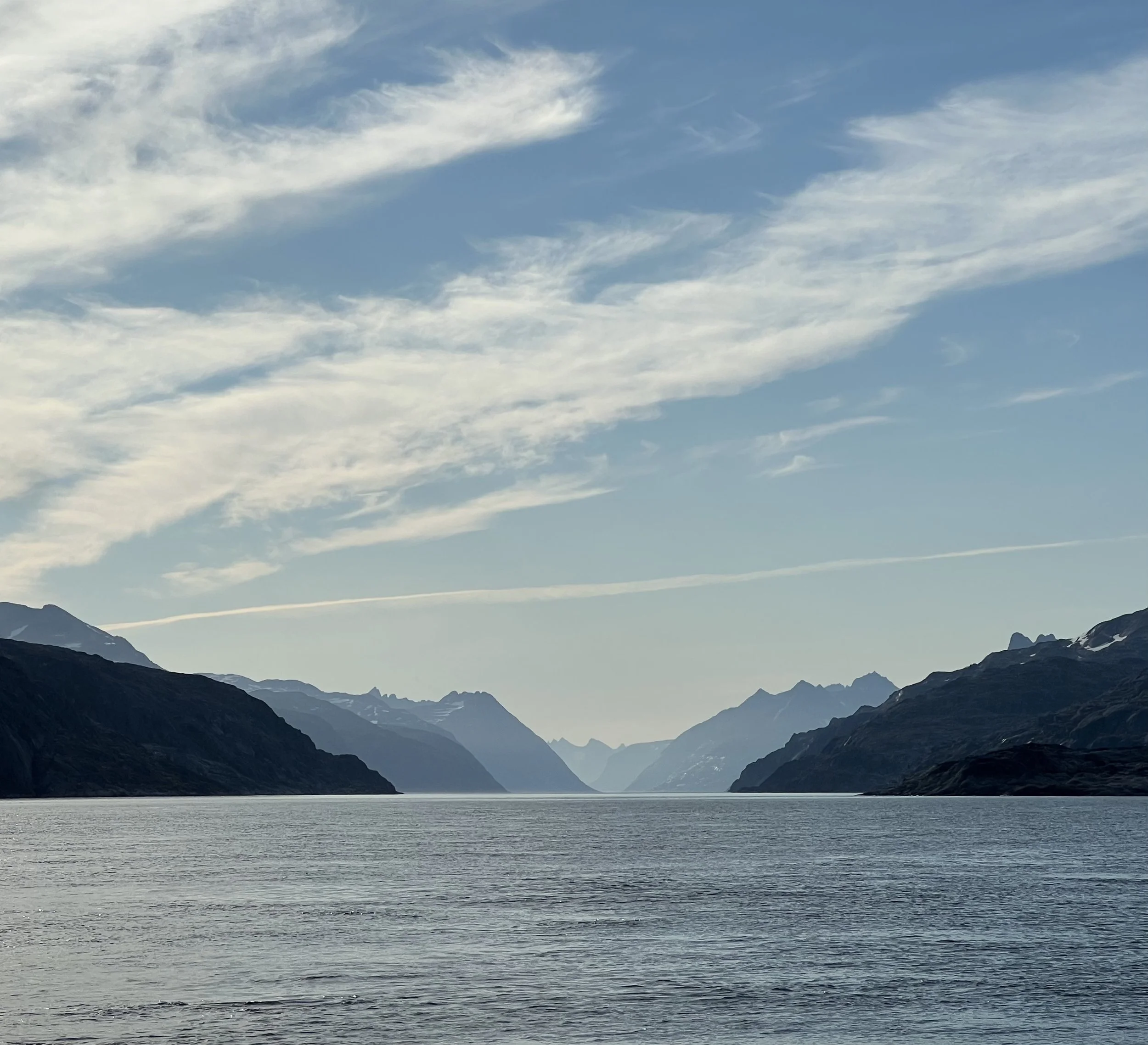
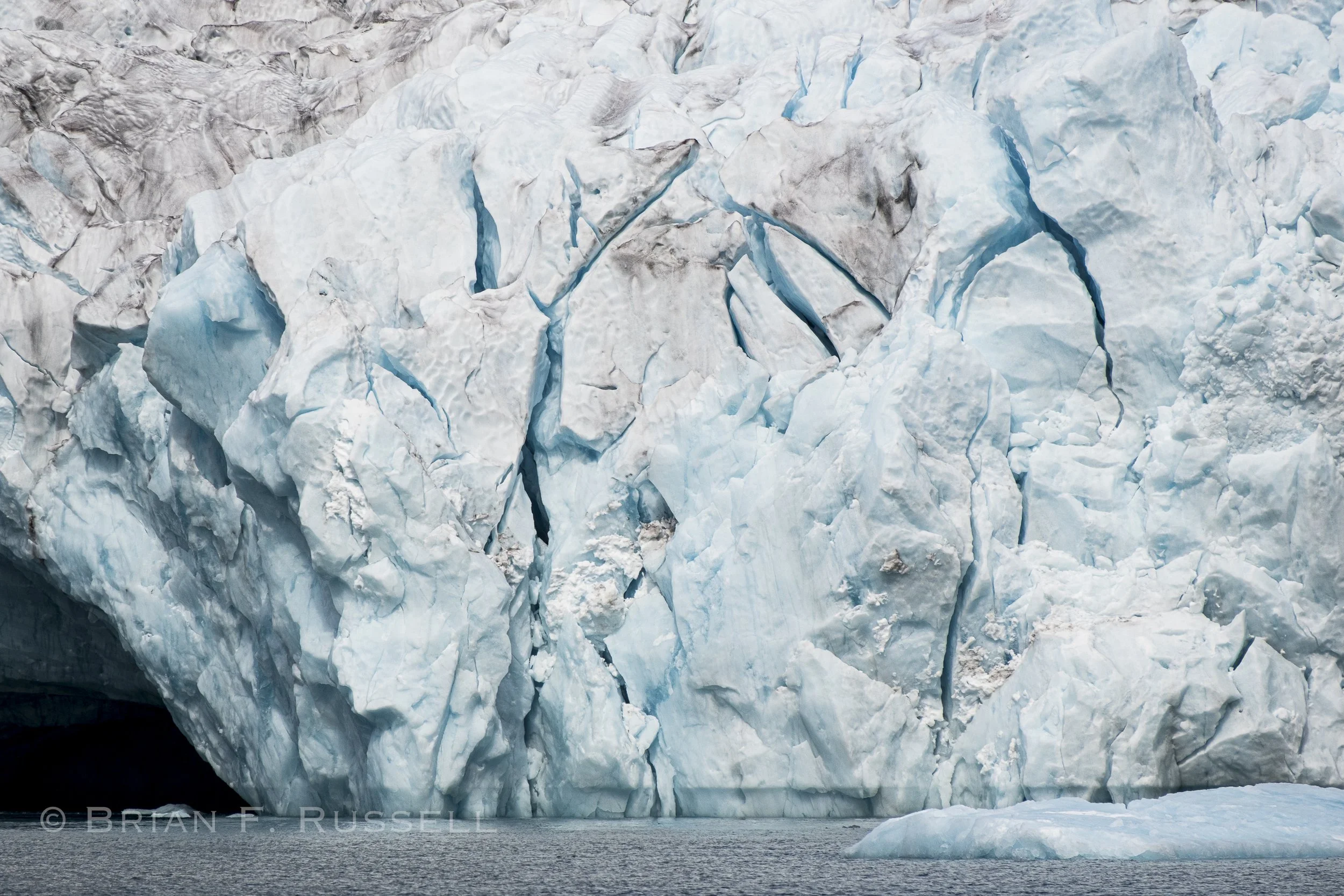
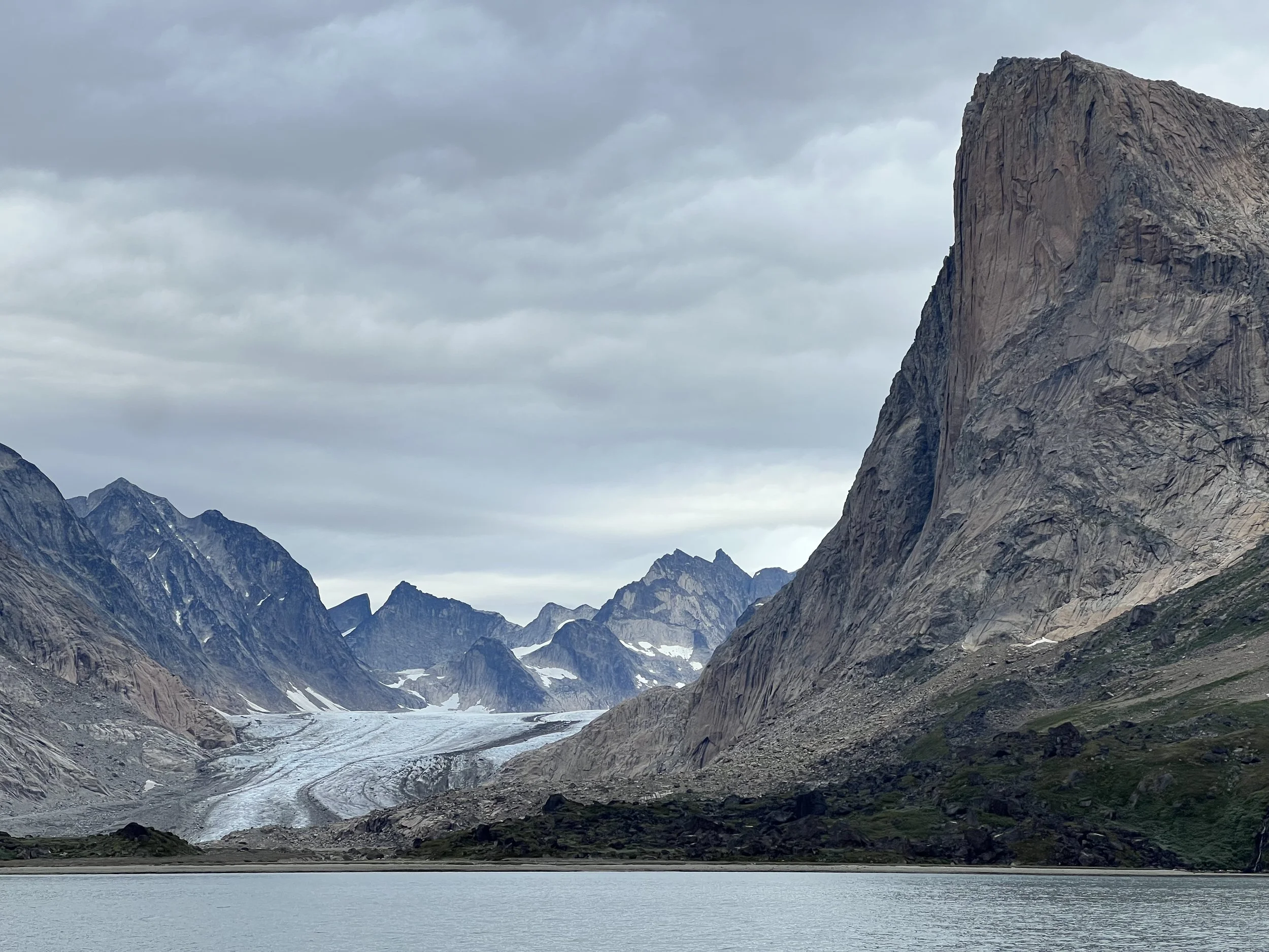
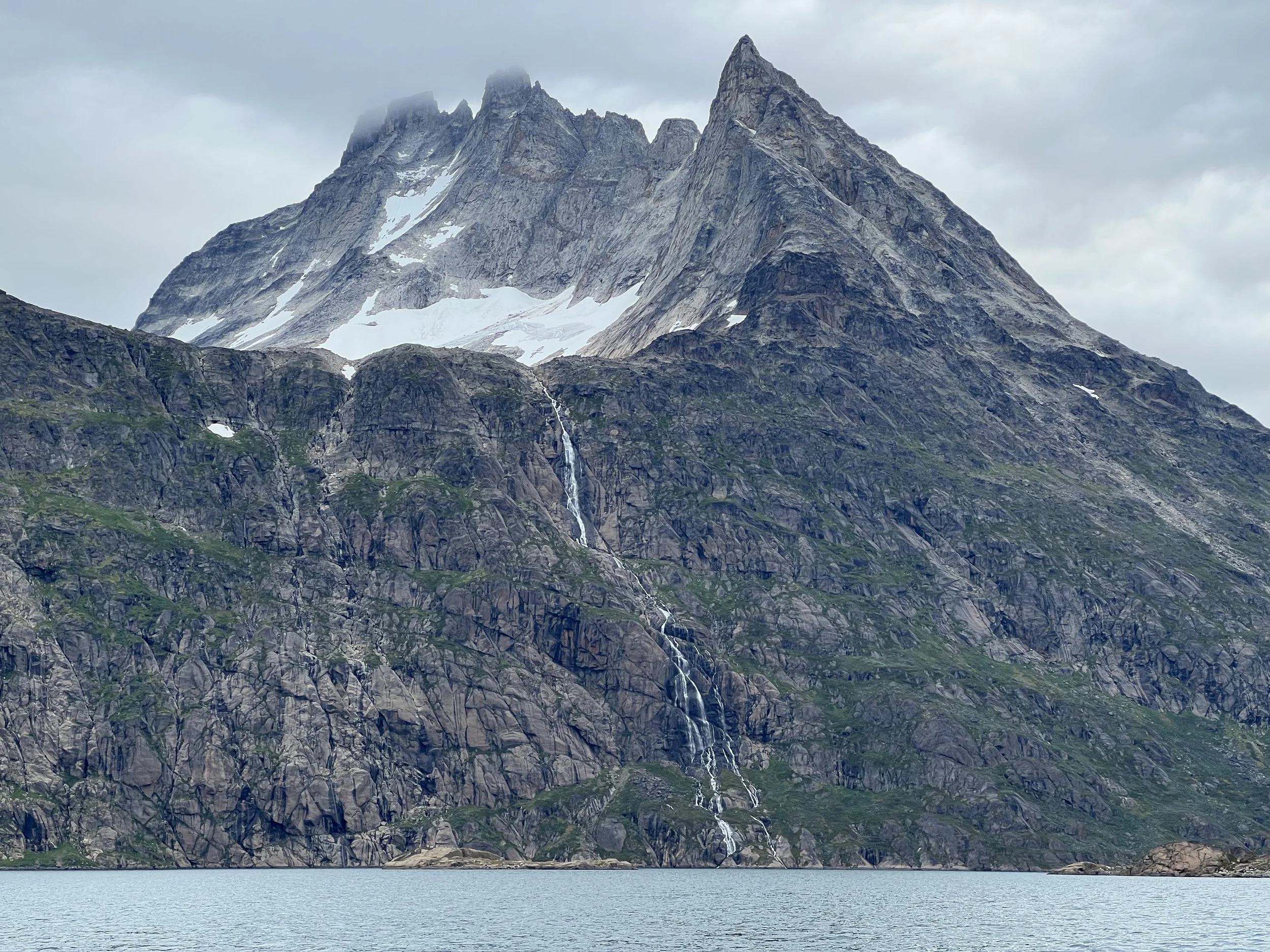
The following day we moved on. Prins Christian Sund is a deep and narrow fjord allowing passage between the east and west coastlines of Greenland, avoiding the treacherous waters off Kap Farvel. The mountains arise to over 1800m on either side and the Greenland ice sheet reaches down in a number of places, shedding bergs and bergy bits into the water along its length. The winds get funneled by the narrow passage and the currents in the Qornoq Narrows, if not timed right, make passage laboriously slow. The deep waters and sheer cliffs mean there is nowhere to safely anchor until at least half way through. We had another day of glorious weather, so untied the lines and headed off.
The many glaciers were constantly calving, we heard the booms and could see by the amount of ice in the water that they were quite active. We chose not to get too close, who knows if the next piece to fall is the size of a block of flats.
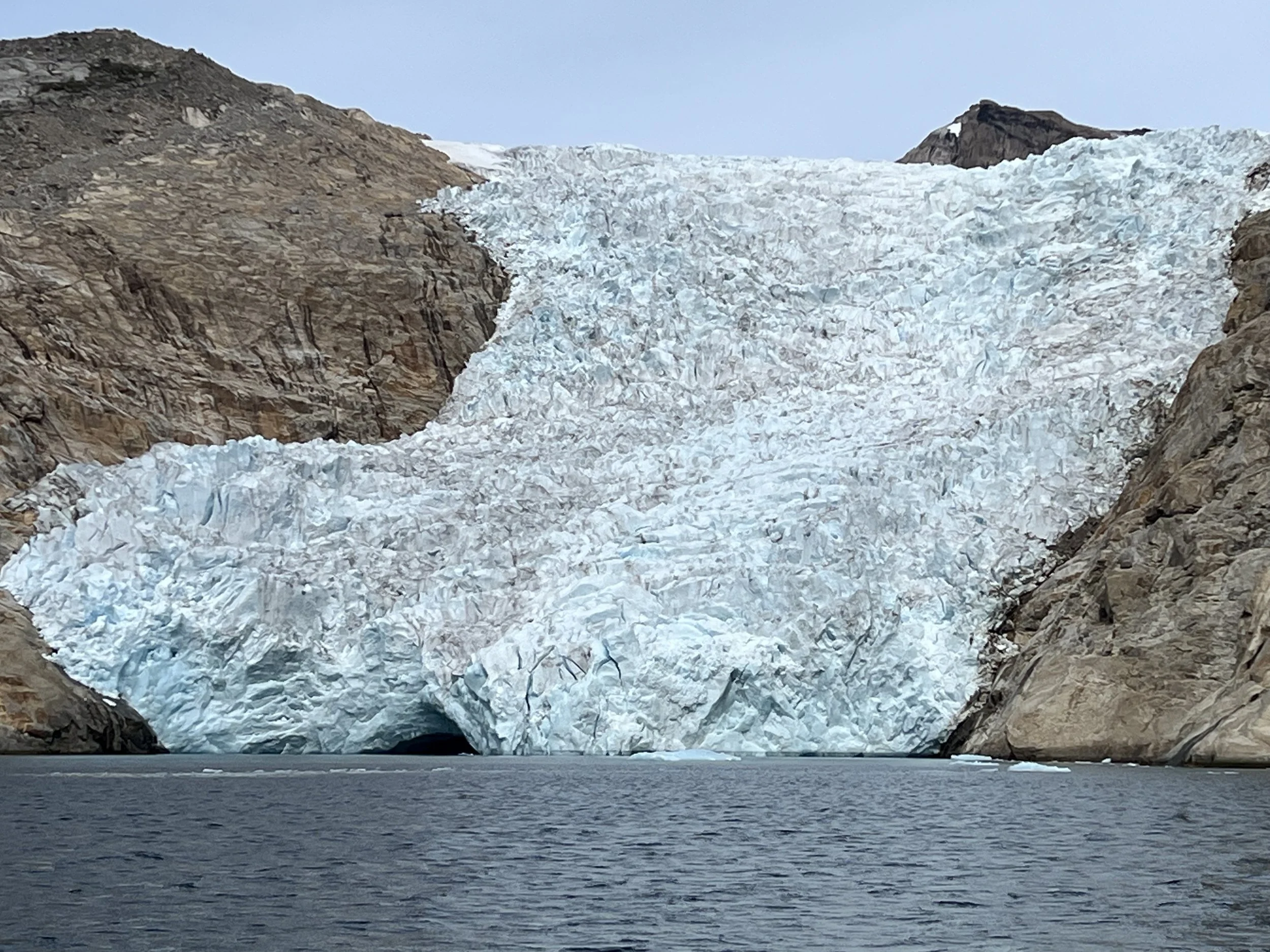
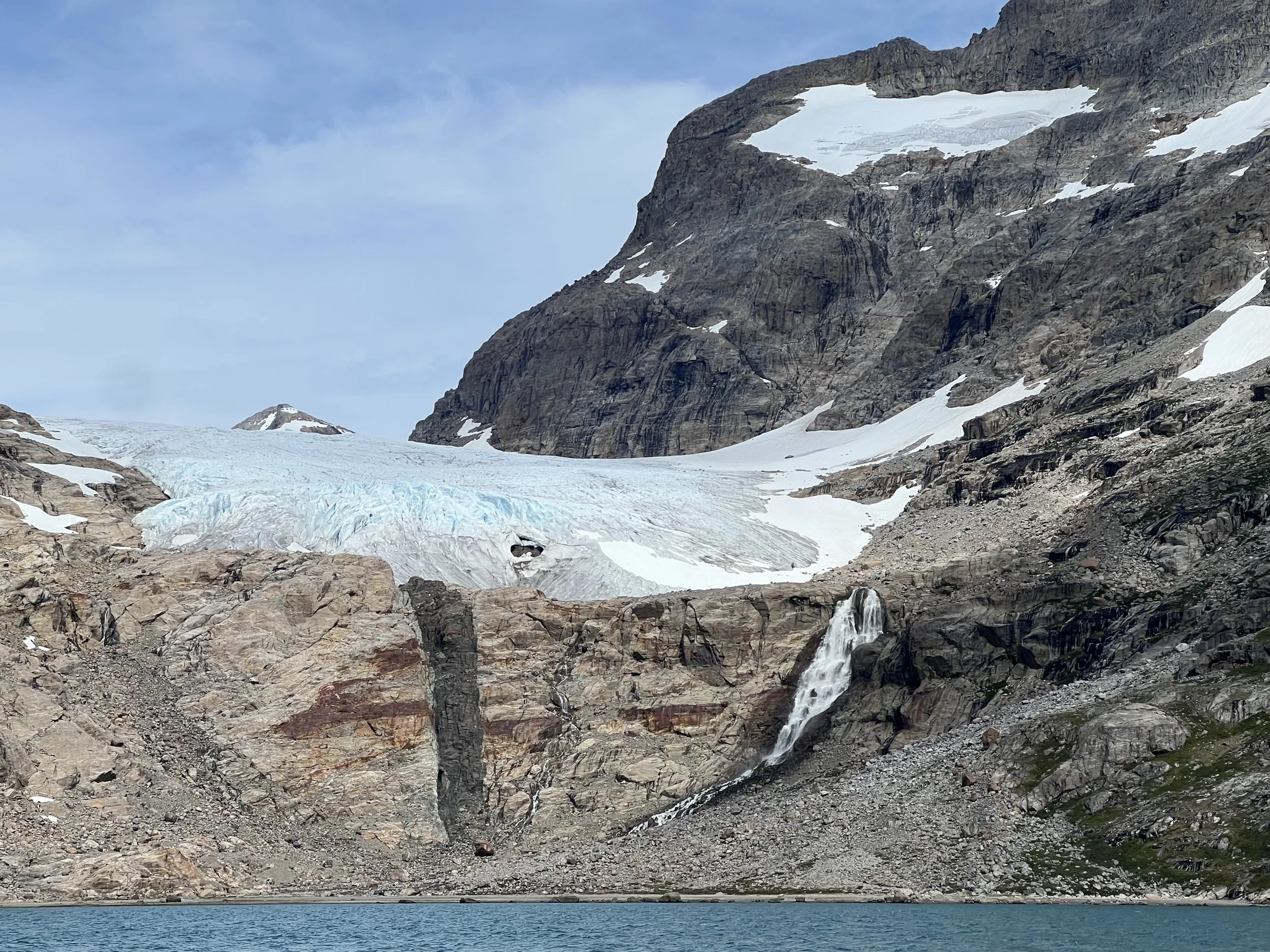
I guess this is a hanging glacier.
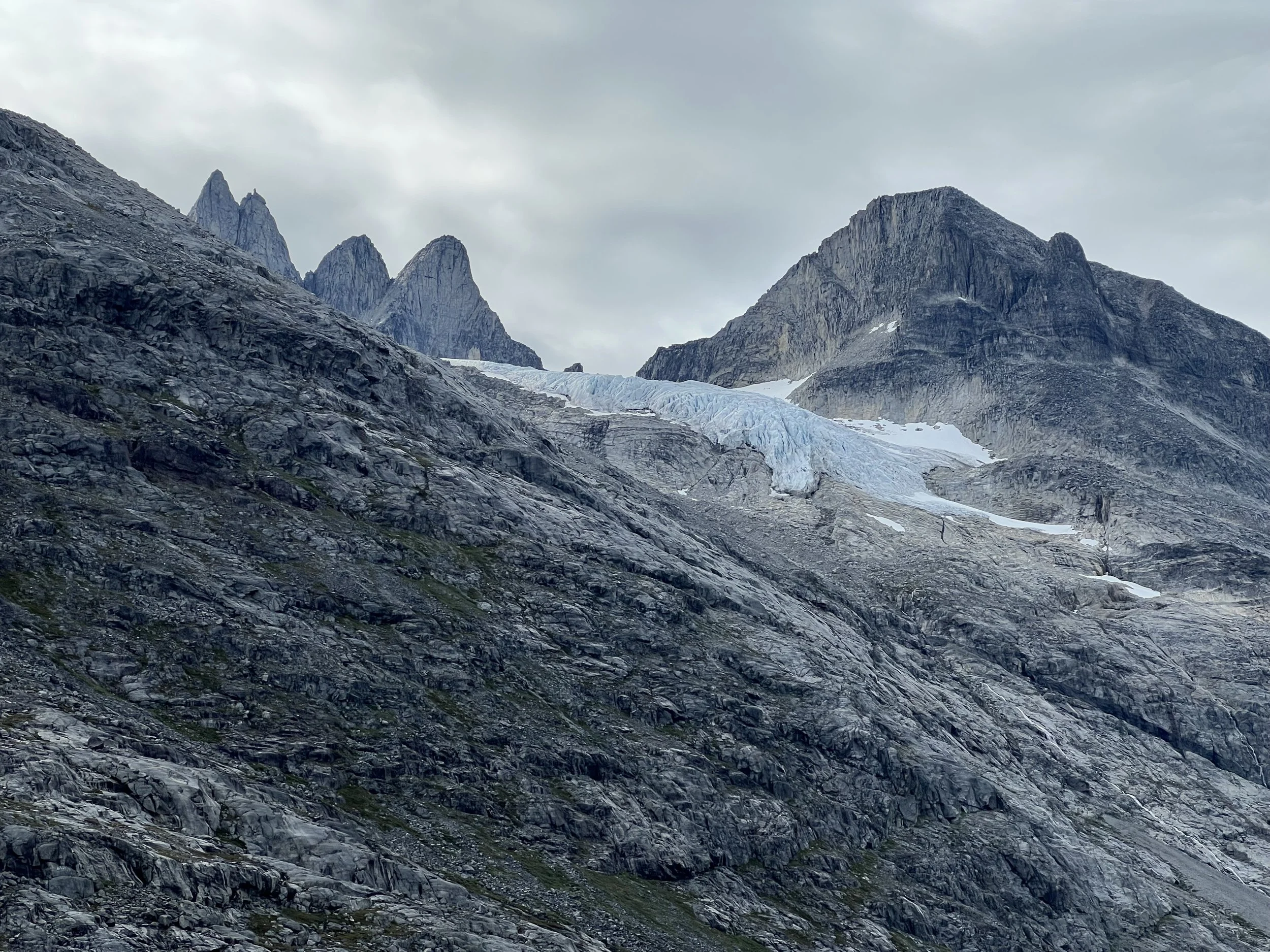
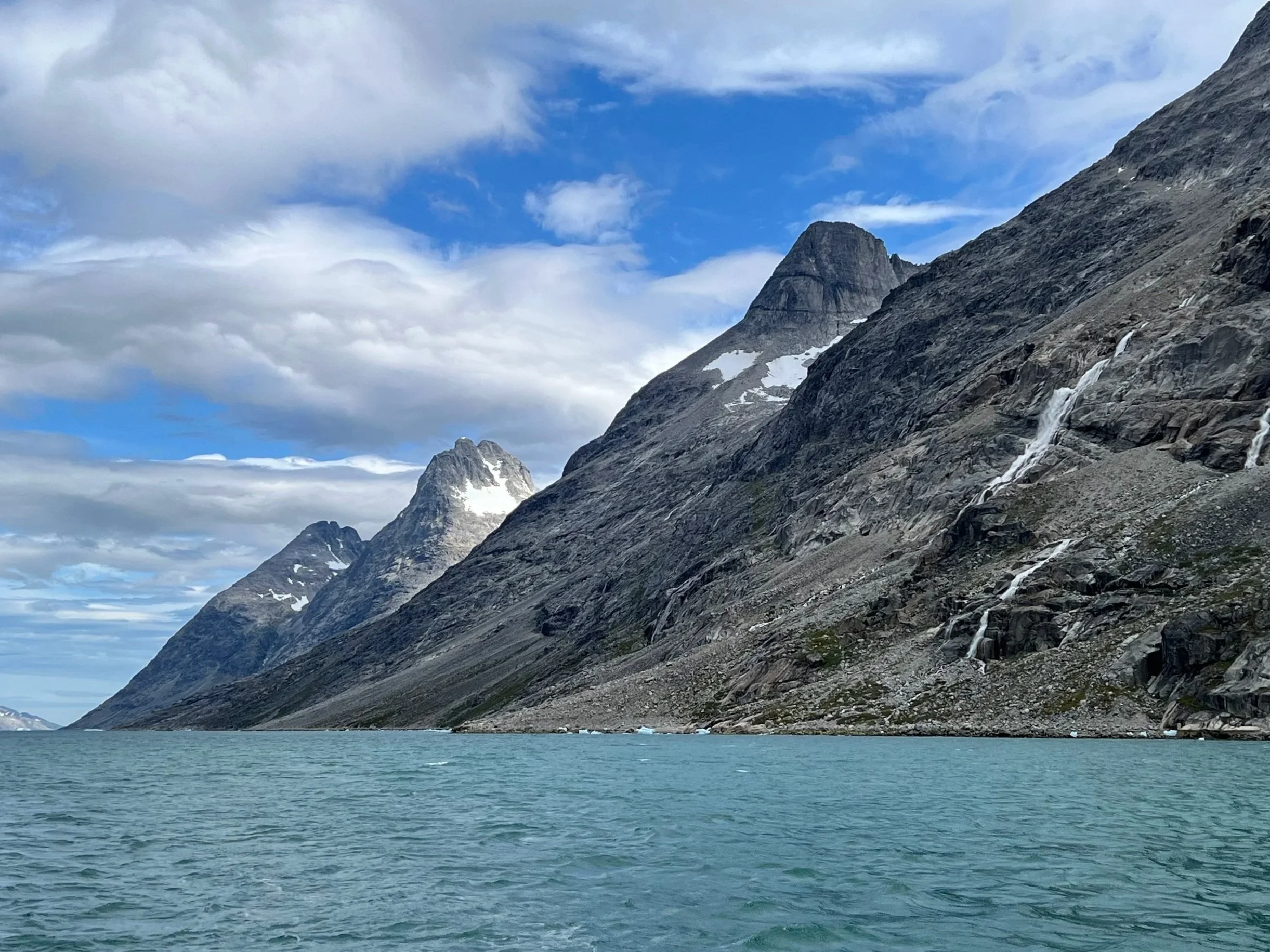
Looking back down the sound.
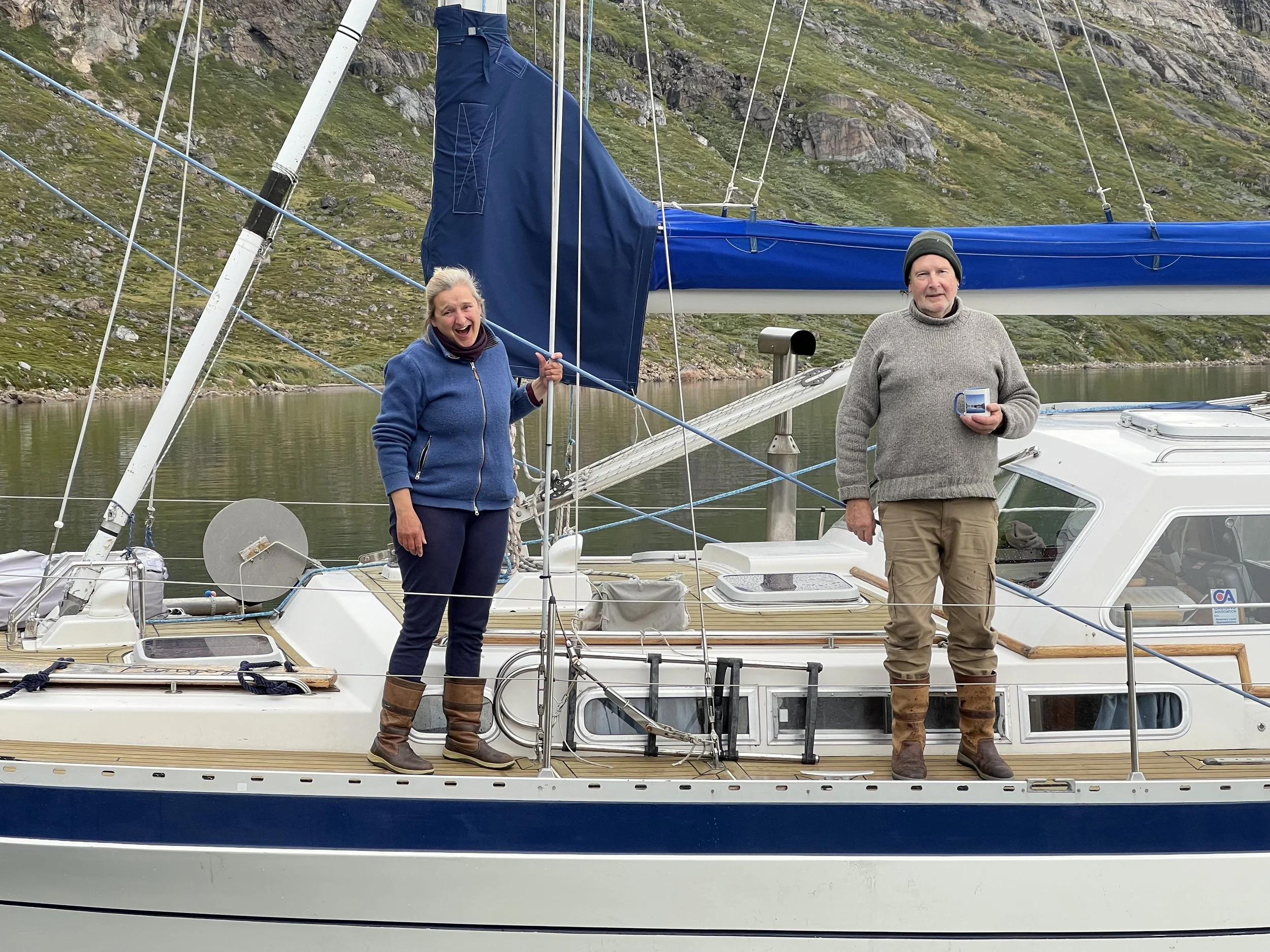
Finally we arrive at our anchorage after a long day motoring; sailing is impossible with the downdrafts from glaciers and wind tunnel effects at the Narrows. We were welcomed by Helen and Mike on Pangey and fed a most welcome meal. Thanks again guys for all your help.

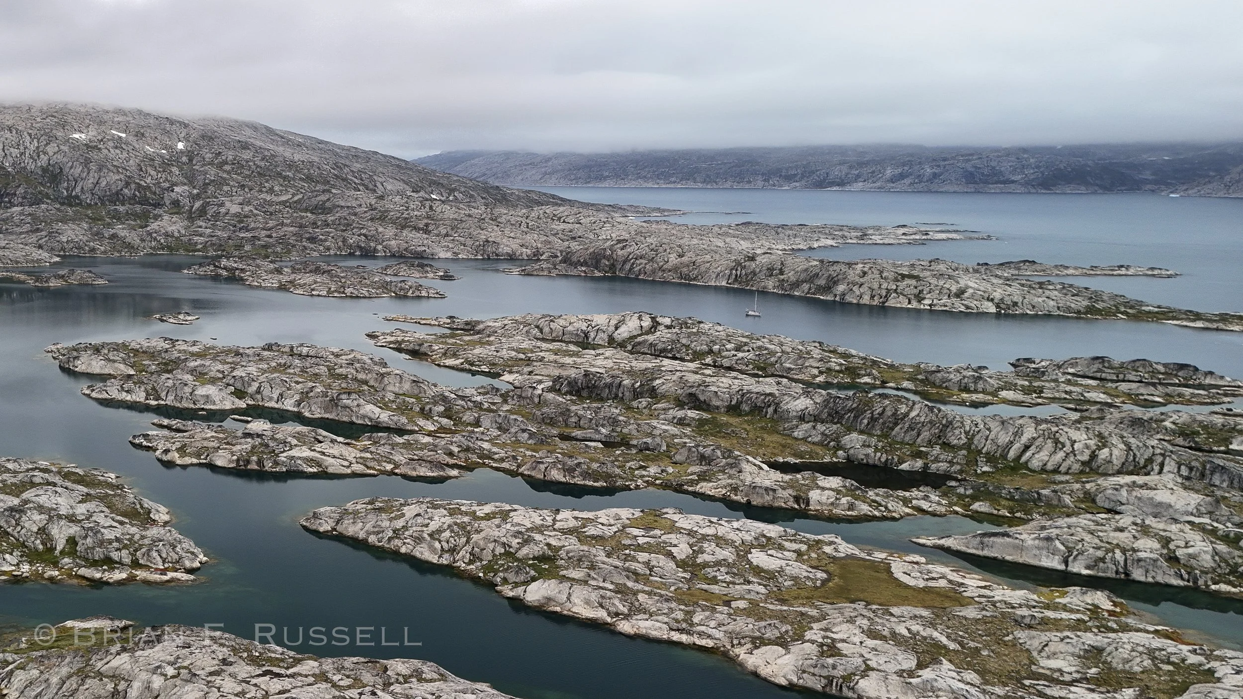
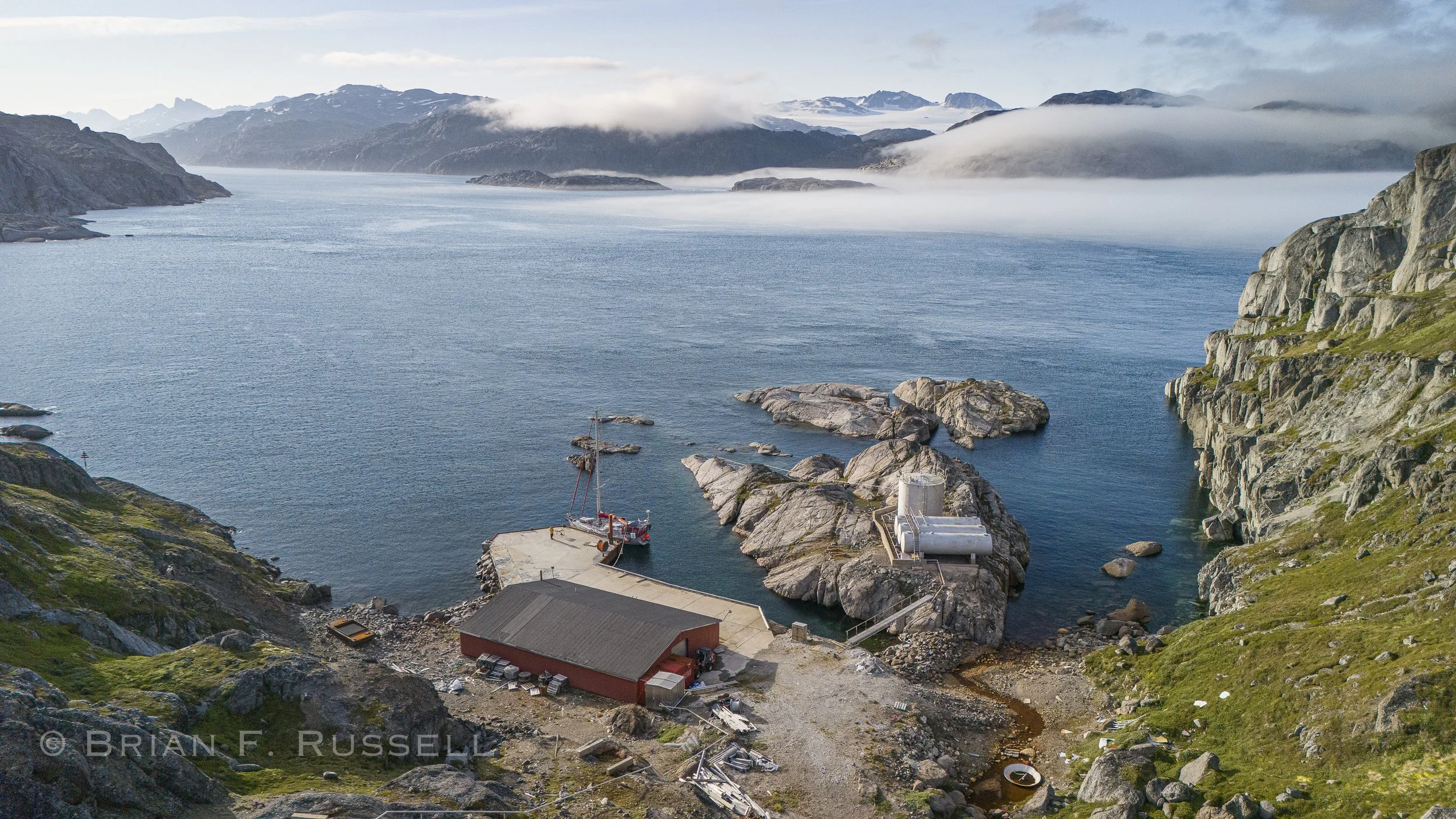
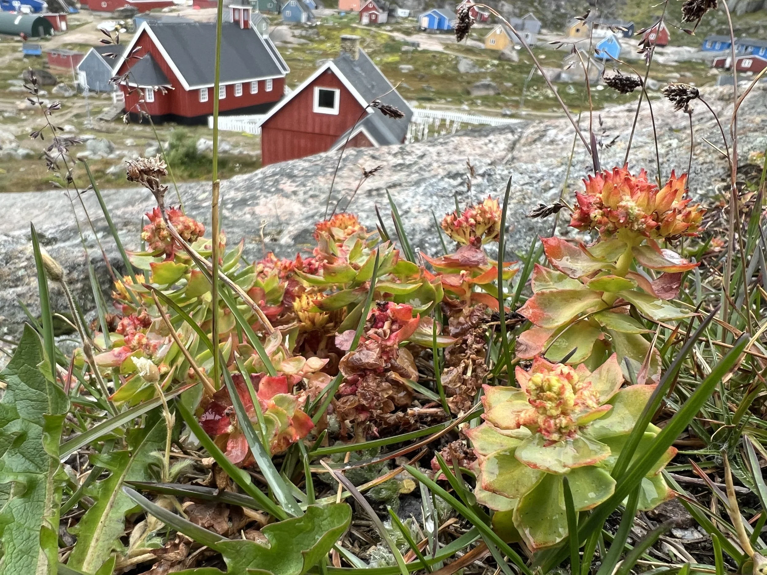
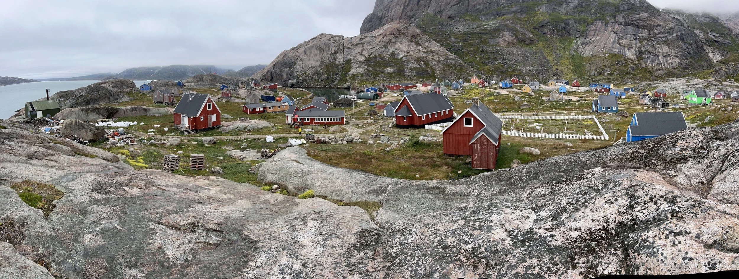
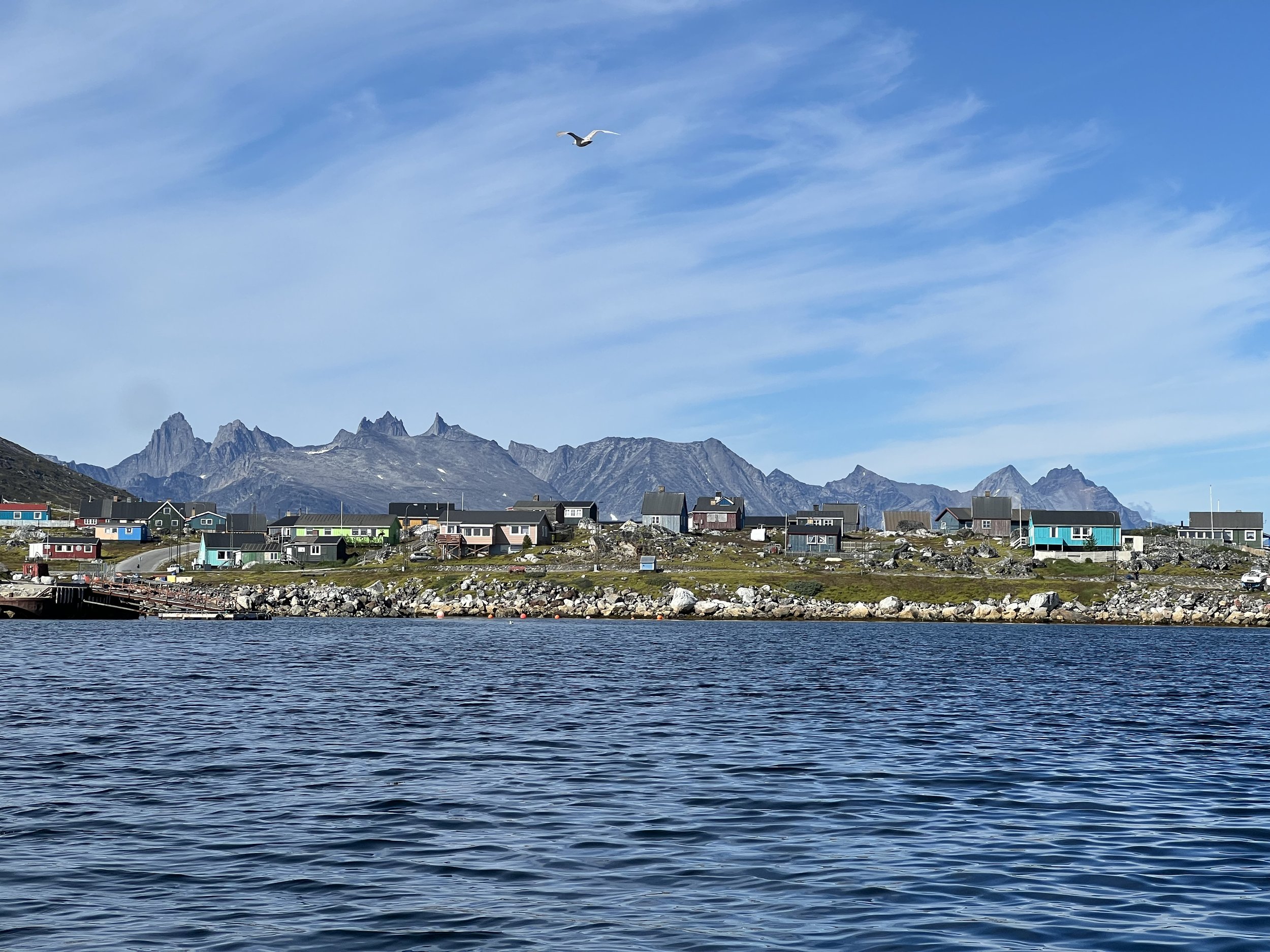
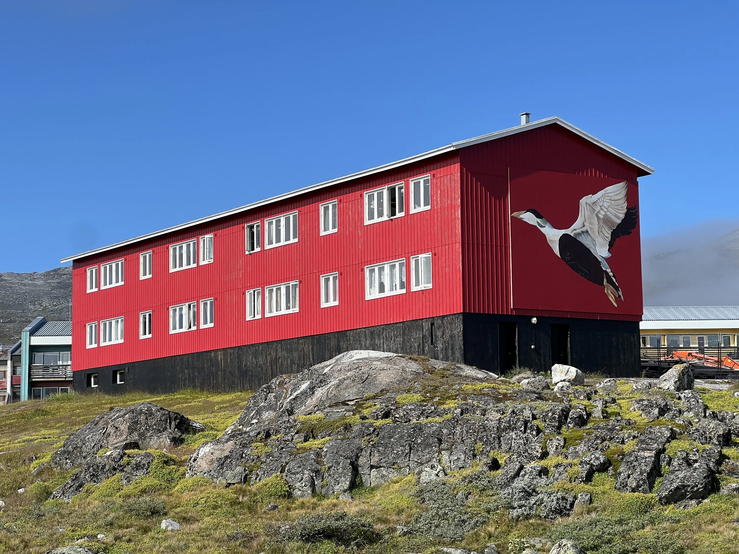
We took a short trip the next day, to spend the following night in Aappilattoq, a tiny settlement within Prince Christian Sund. There are less than 100 inhabitants based around a natural harbor tucked in under the cliffs.
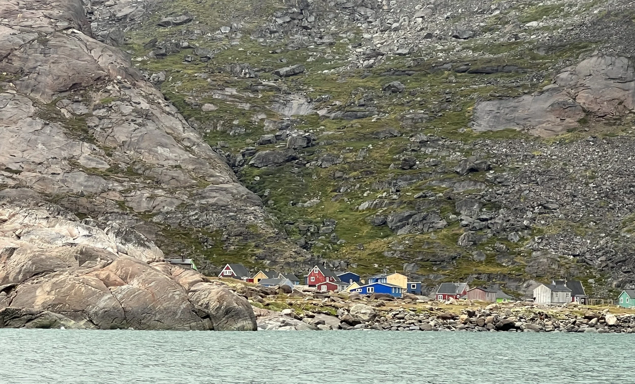
Approaching Aappilattoq.
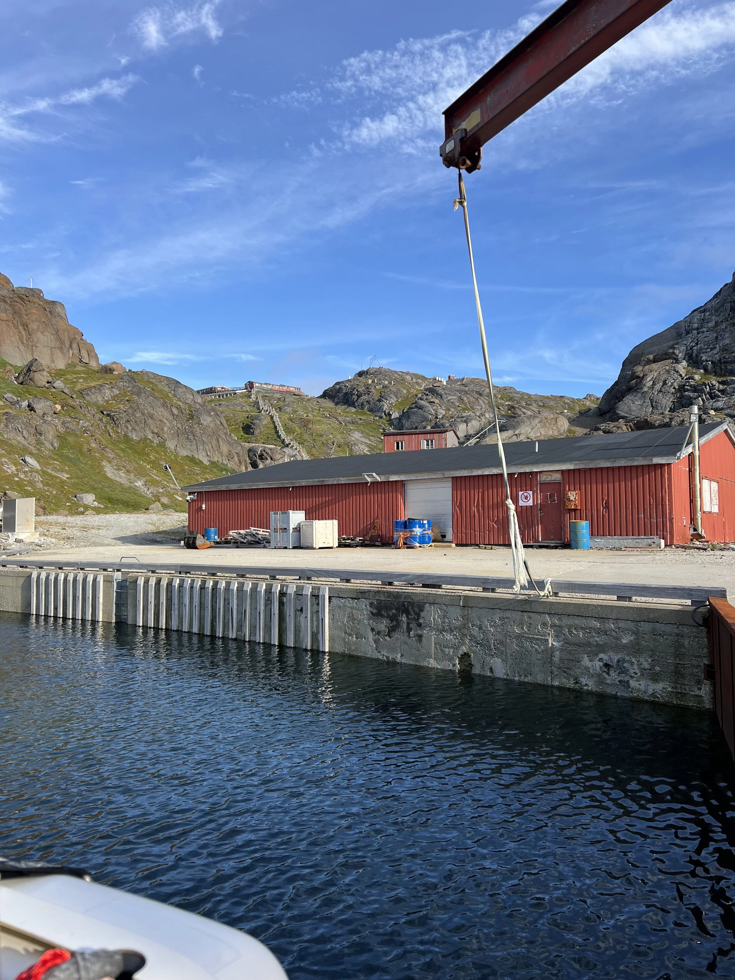
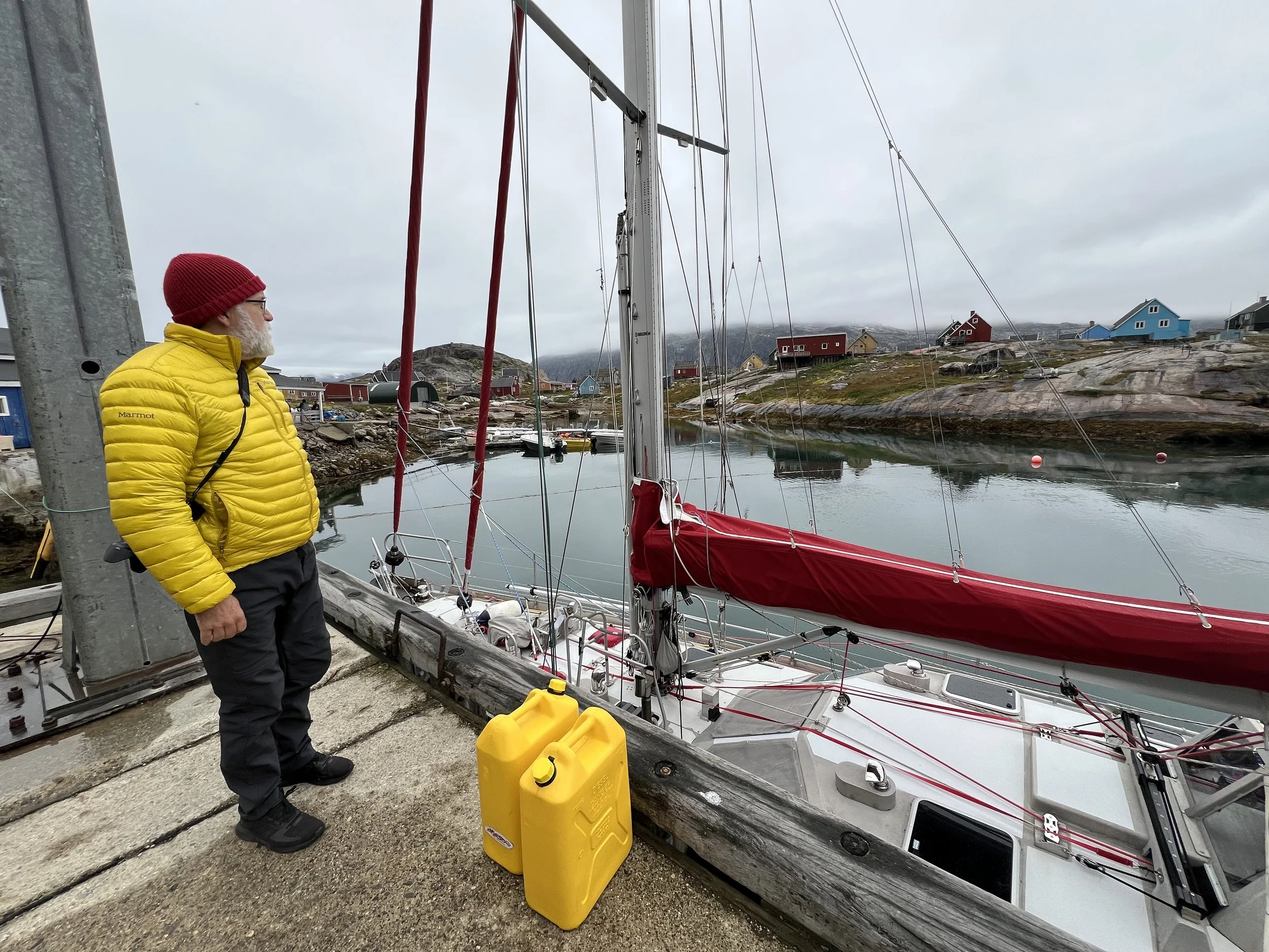
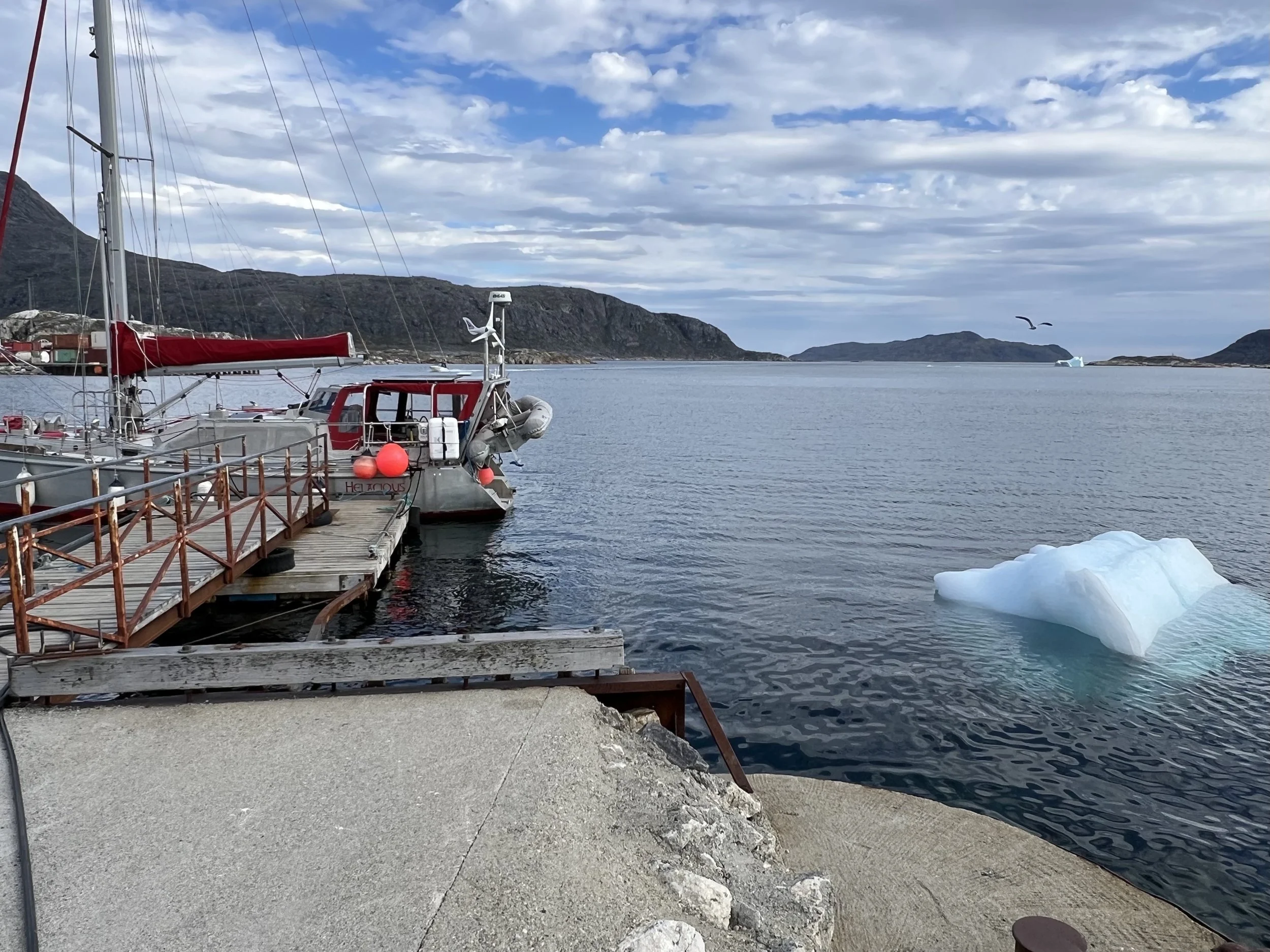
How on earth this small community survives is beyond my ken. It has a grocery/all sorts store and fuel. Little else. Not only were we too late to get groceries (close at 3pm) but we would not have wanted to deplete what little they had available. We were still well stocked up onboard Helacious. We did however avail ourselves of some fuel. All that motoring with more to come, it was prudent to stay topped up. It took a number of trips with the two jerry cans we have onboard, heaving them down from the dock to the boat, the tide was low and it was a 6ft drop.
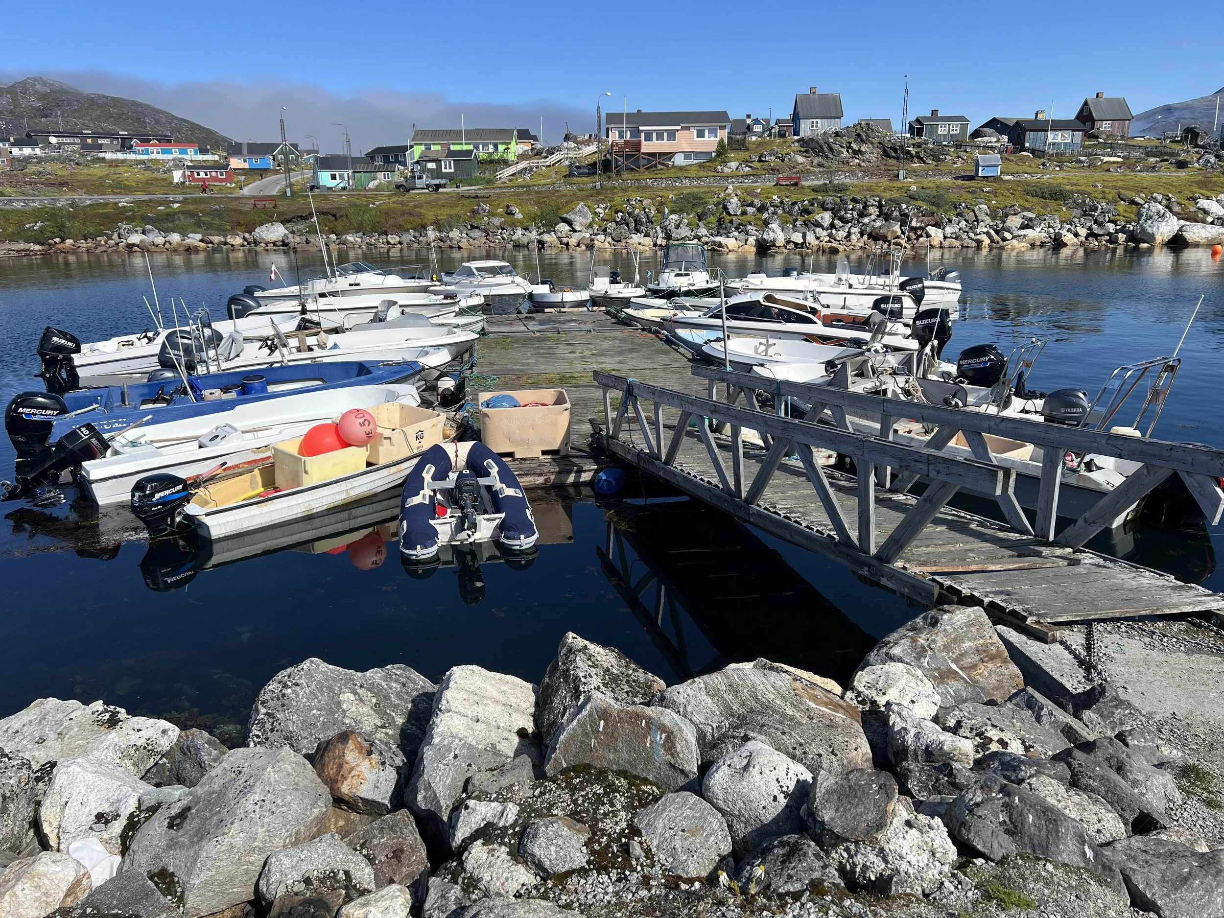
Look closely in that first photo. There is a floating line across the entrance to the small boat harbor, with two orange buoys marking the pass through. It runs very close to the dock we are tied up to. We had been warned about this by the crew of Langa, a Dutch boat, who very nearly ran over it. So grateful for the knowledge that is passed around. Anyway, the function of this line is to keep the icebergs out of the small boat marina where they could do serious damage. We came across similar ice lines later in Nanortalik,
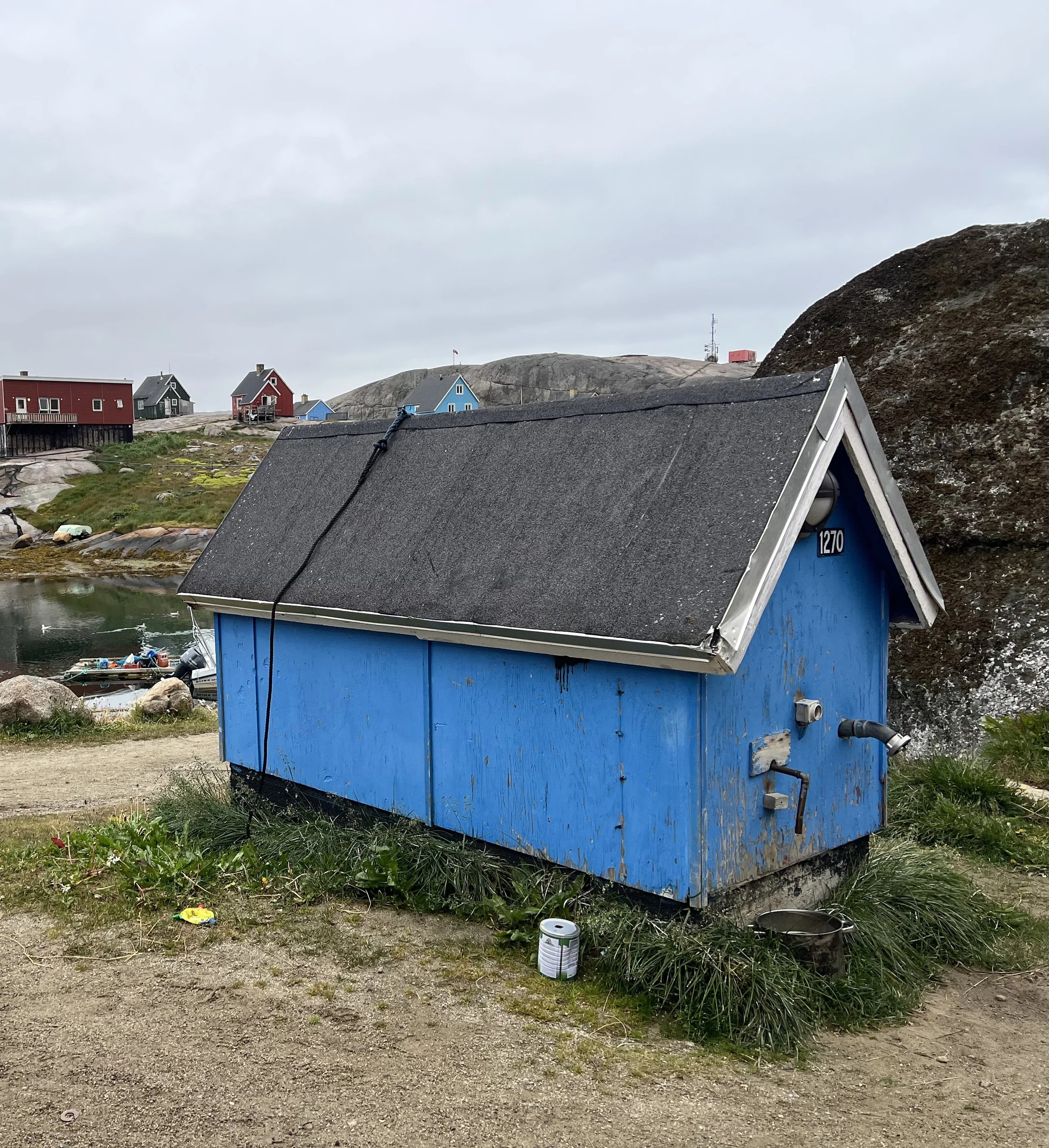
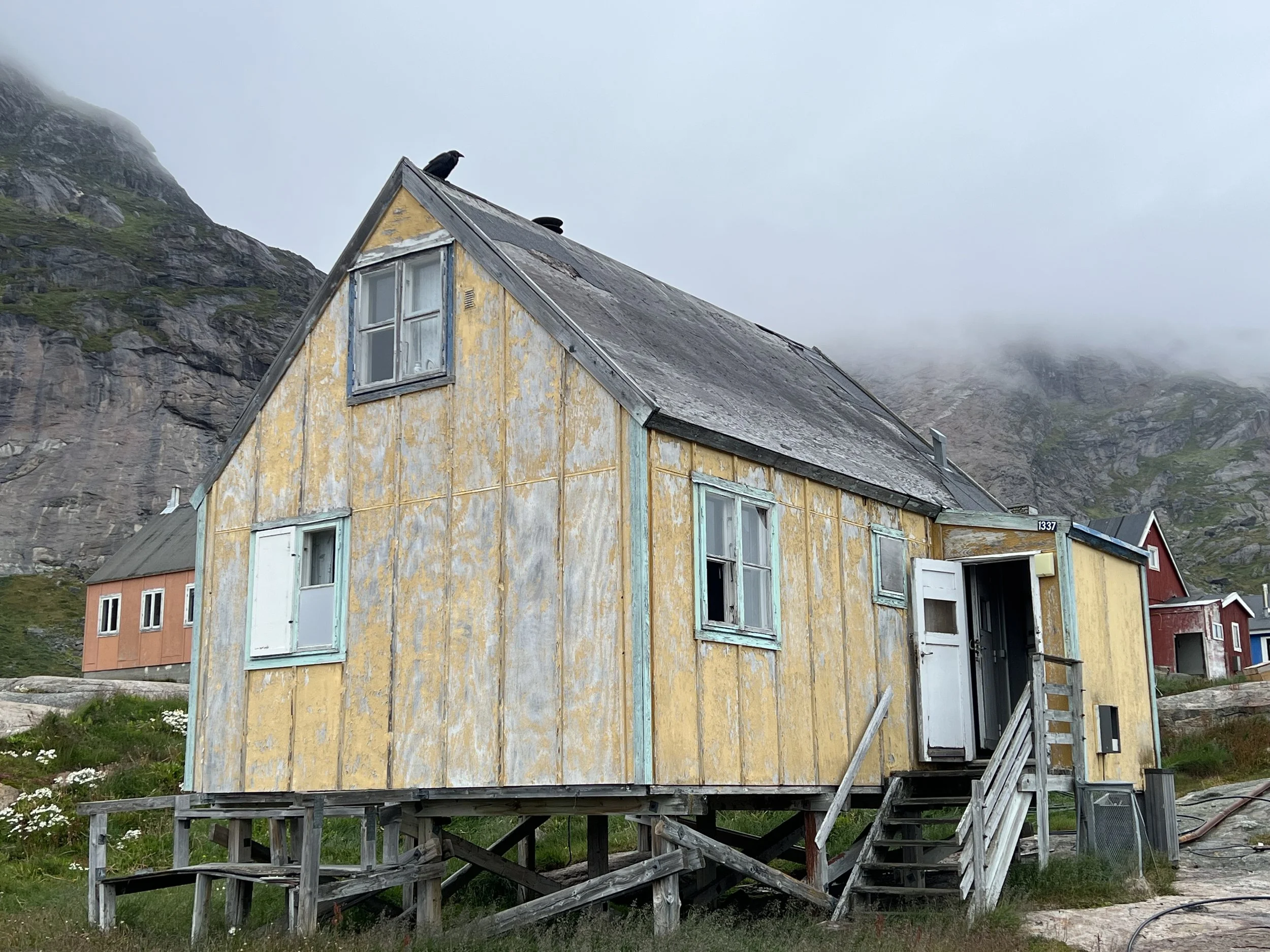
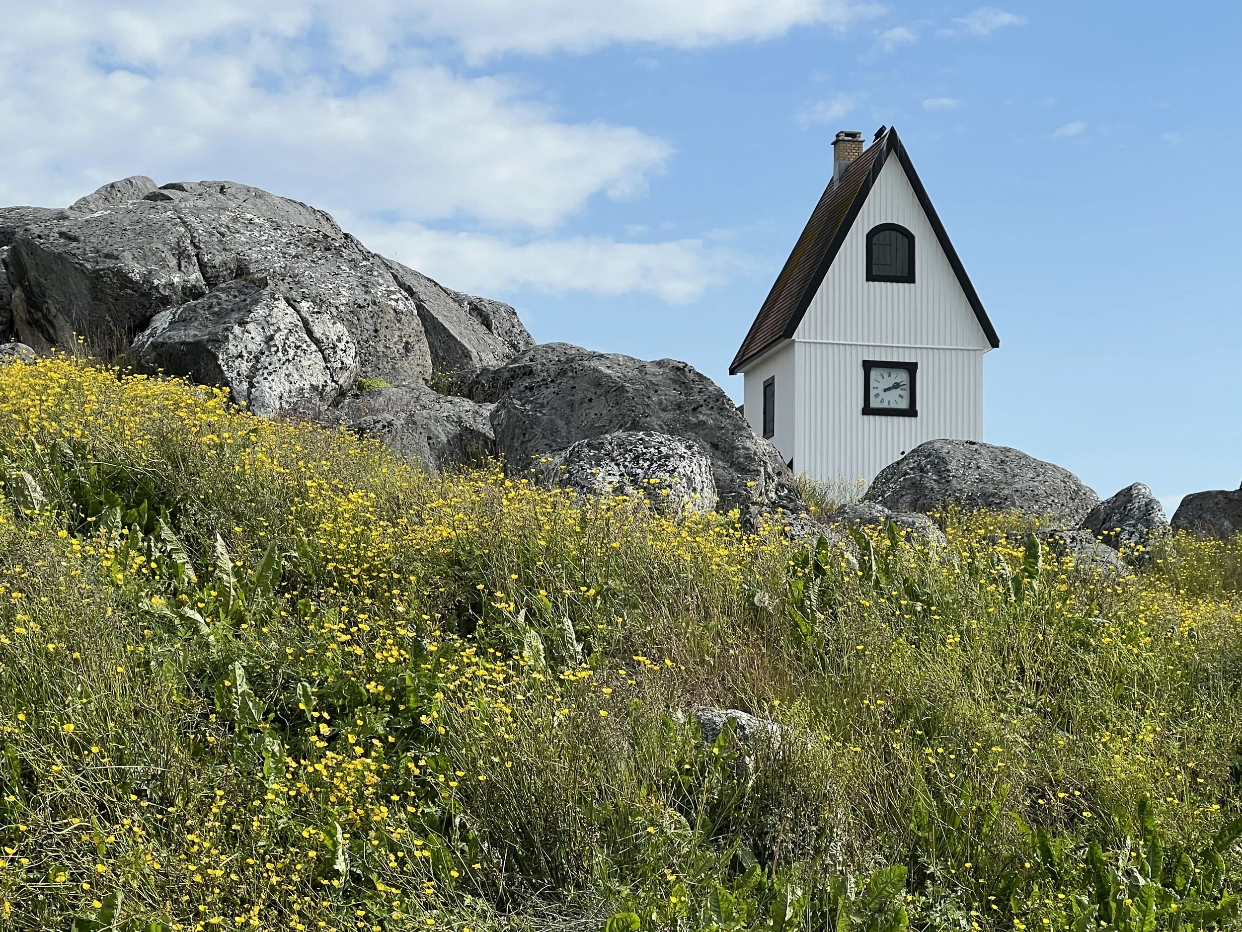
The second photo is of a water house. The community is built on rock, there is no way of digging trenches to bury the water or electrical lines. Instead the electrical lines are snaked across the rocky outcrops, protected in steel pipes from the ice. The water for almost all residences has to be collected by hand from the water house. What an existence?
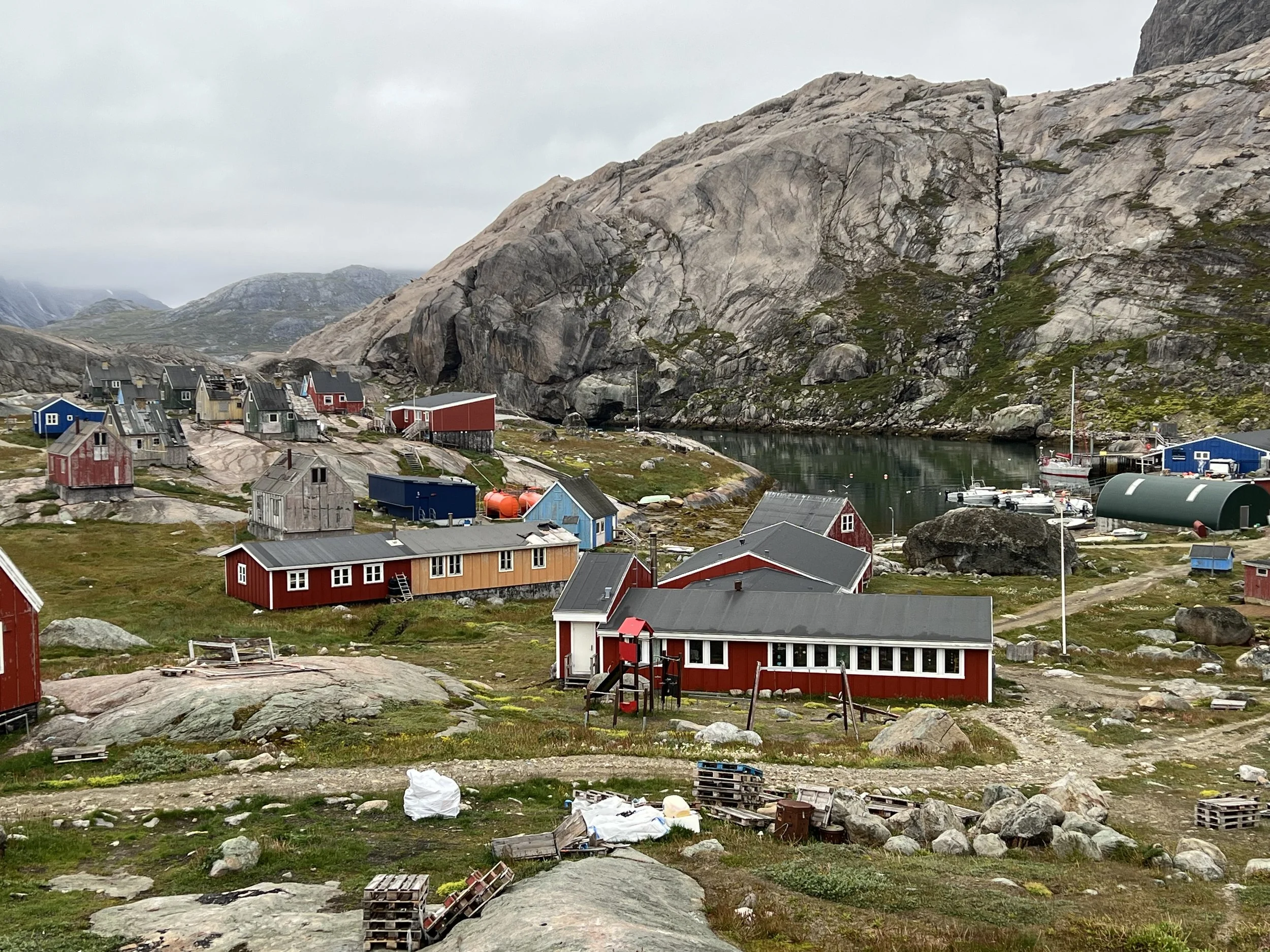
School house and harbor.
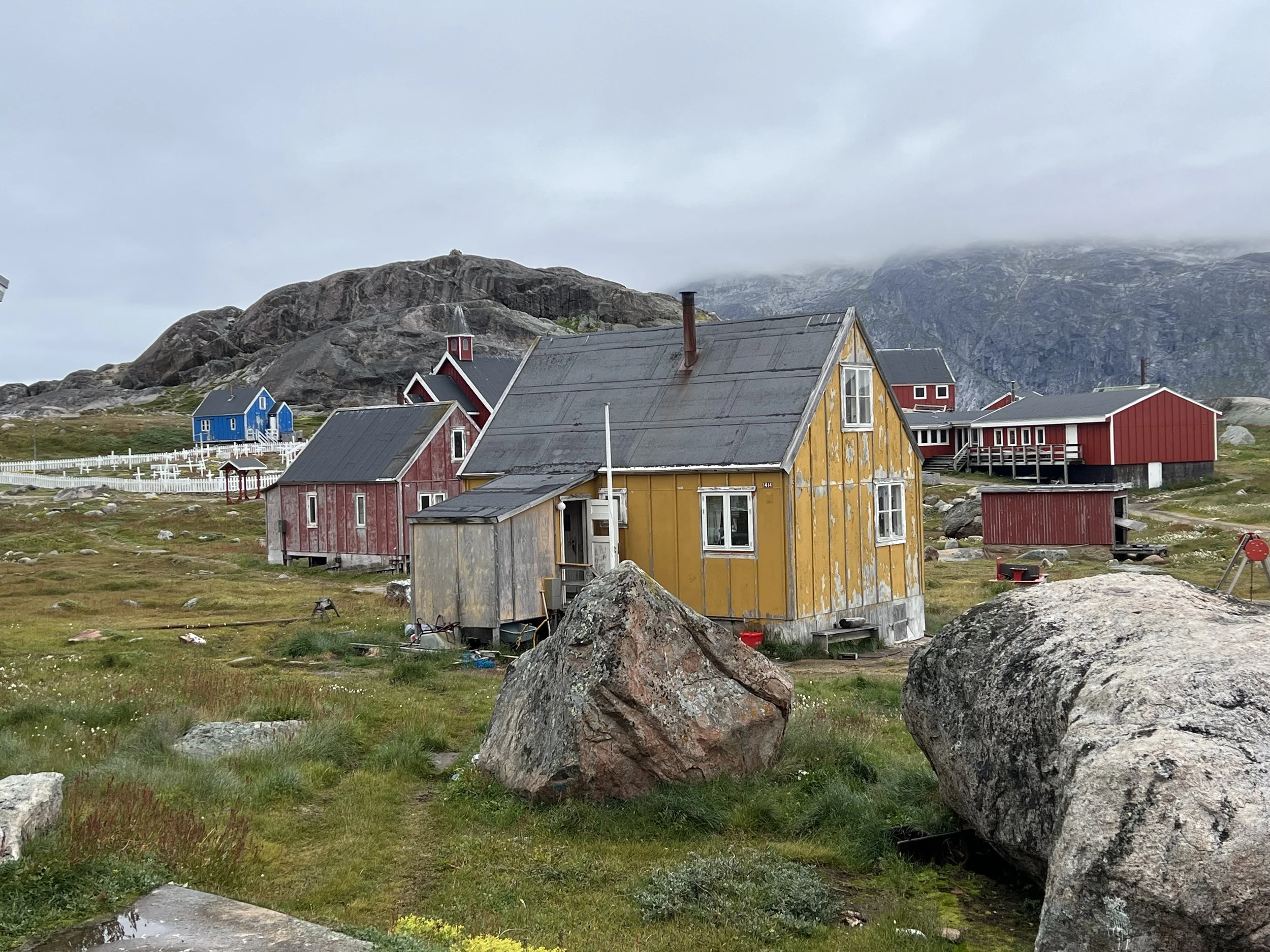
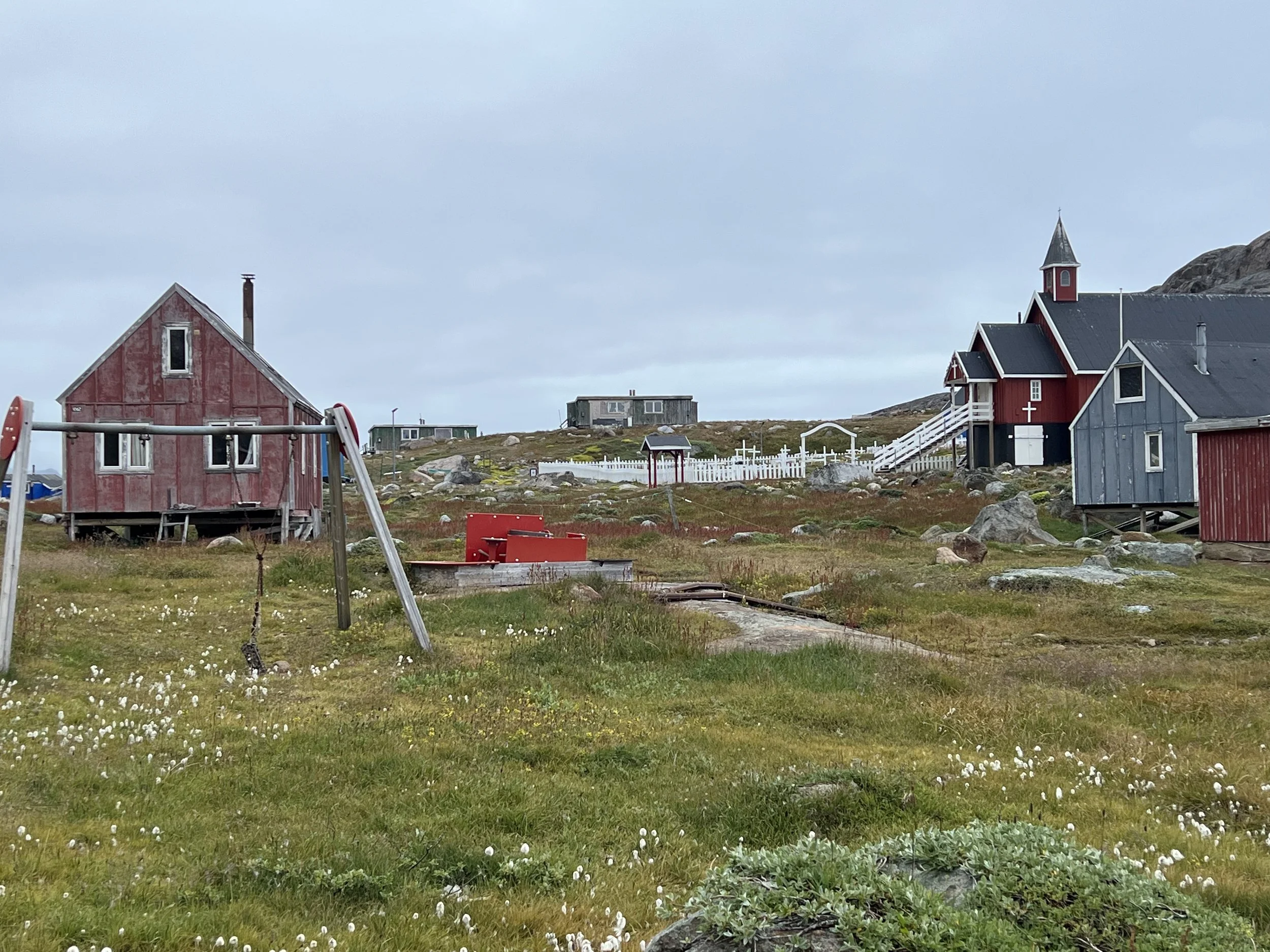
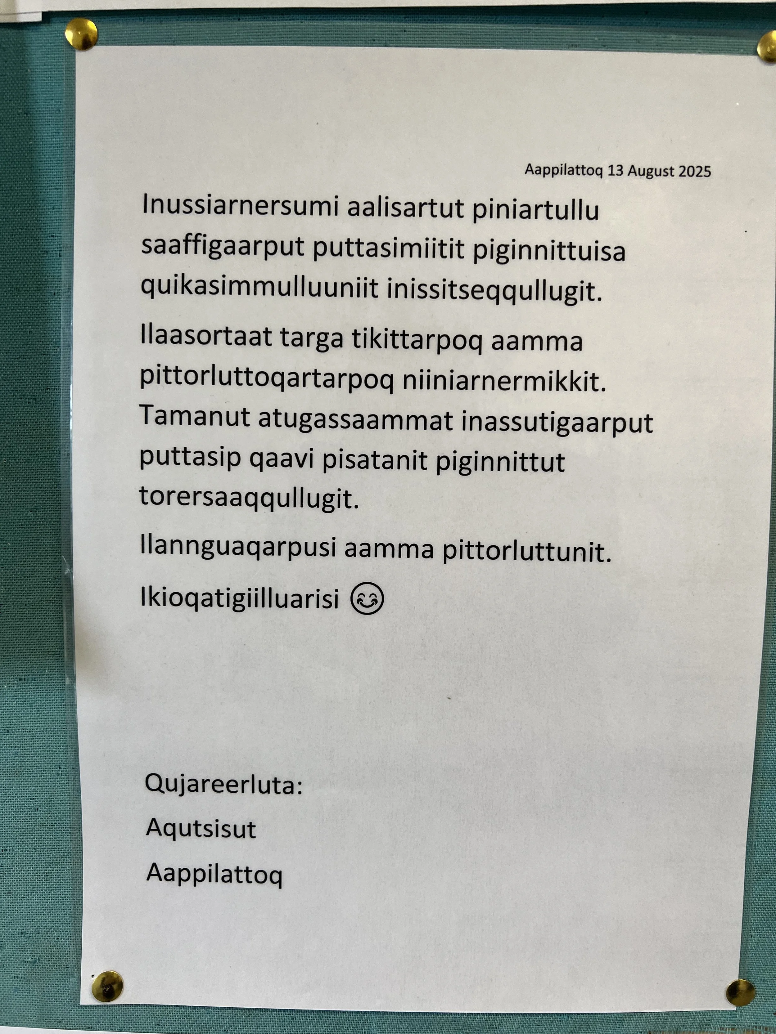
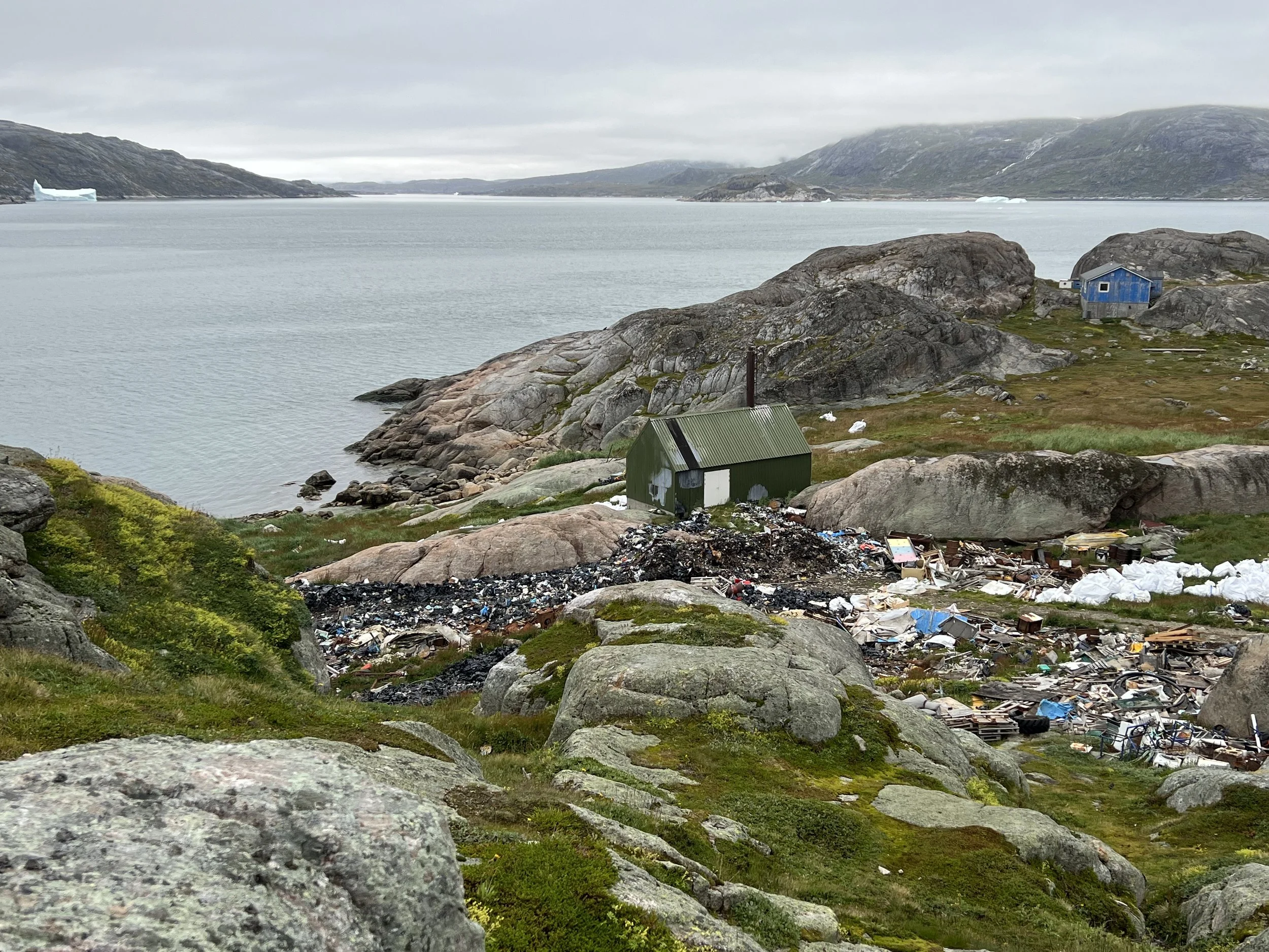
We noticed the houses all had their entrances protected with porches and facing away from the prevailing cold north winds. In addition the town dump made us decide to hold on to our garbage until we were in a place where it could be dealt with in a more sustainable fashion. We really do not have much, only plastics. All organics and paper go overboard when offshore. The notice on the information board at the grocery was in Kalaallisut, the official language of the country.
Interestingly we saw quite a few young folk around. Unlike the settlements on the southern shore of Newfoundland where the population is rapidly aging, here it appears there is still young blood present. The presence of a school house even in this tiny community confirms this.
The days of good weather were coming to an end. A nasty storm system was approaching and we had a few days to get ourselves north, away from Kap Farvel and to a protected spot. The next day we left Prince Christian Sund. We make the trip up to Nanortalik, passing by some places we would have liked to explore, however weather dictates our itinerary unfortunately.
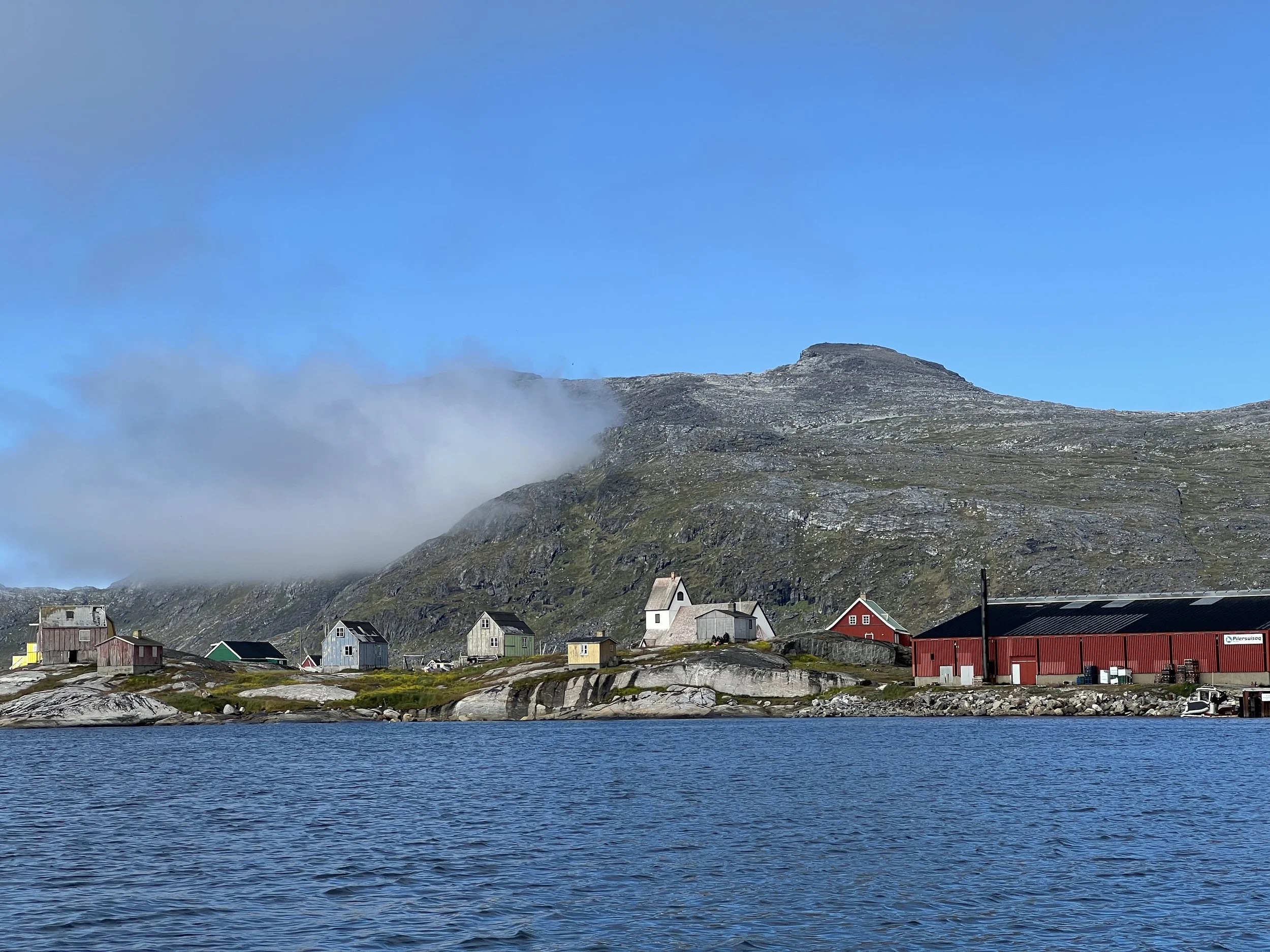
Helacious at anchor in Nanortalik harbor.
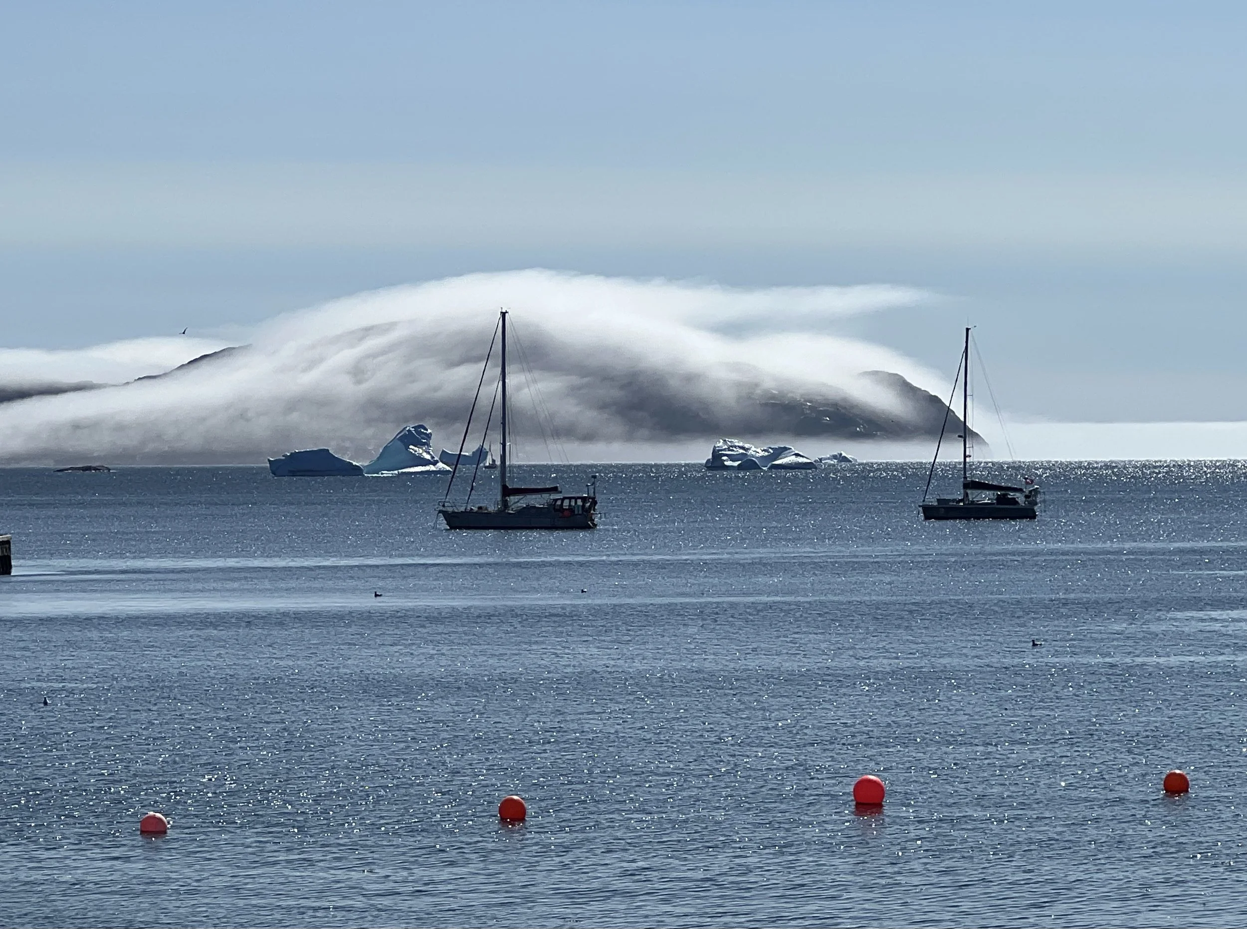
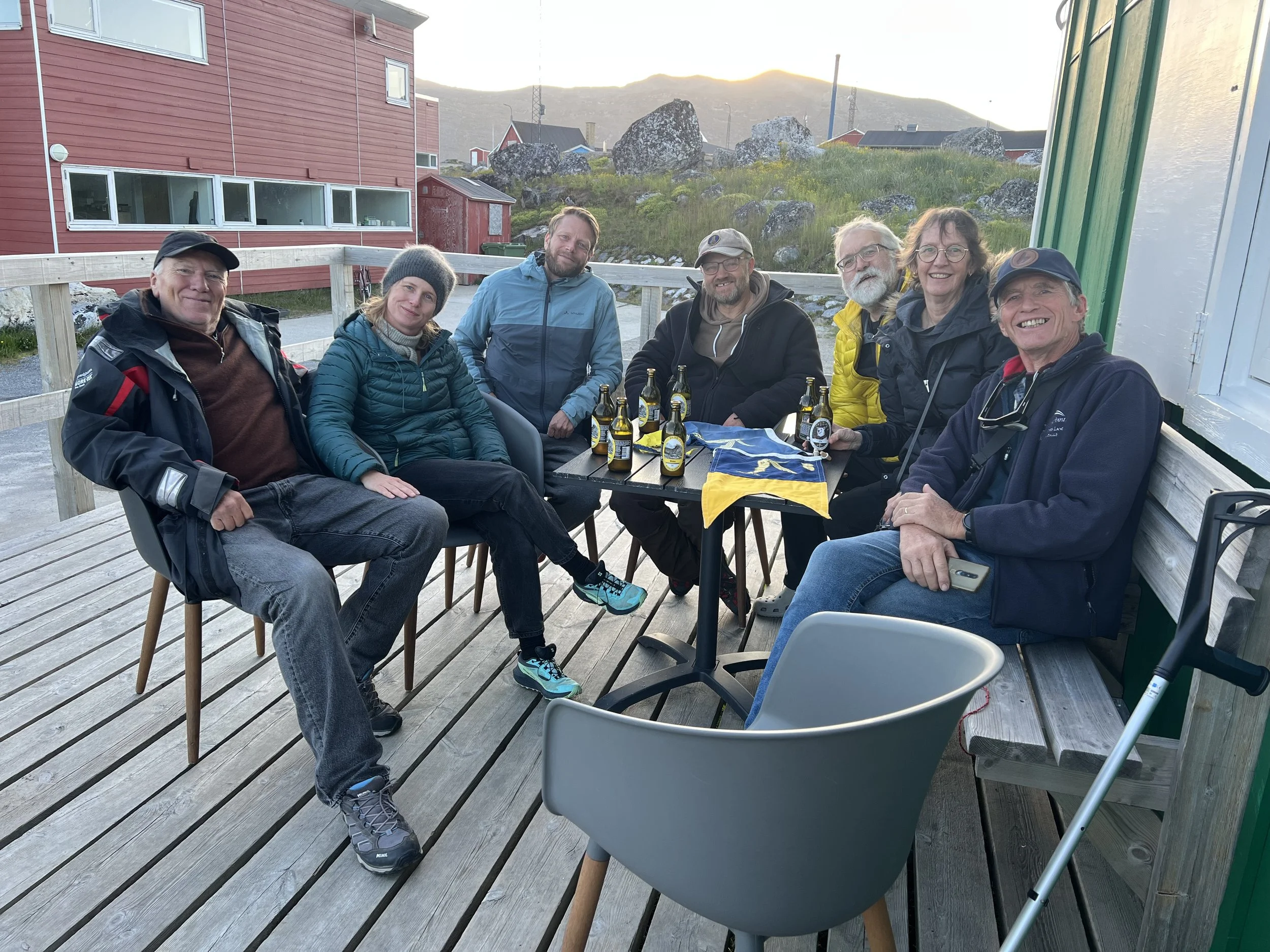
We spent a couple of days in Nanortalik, we reprovisioned with a few fresh vegetables and had a shower at the hotel in town. The police station was closed so while at the hotel we asked if they would call the police and see if we could schedule a time for an official to stamp our passports, confirming our departure from the Shengen zone. Five minutes later the policeman arrives at the hotel, stamps in hand. He was on his way to the climbing gym, but diverted to pick up the stamps for us. So kind. So now we are checked out and waiting for a weather window to cross the Labrador Sea.
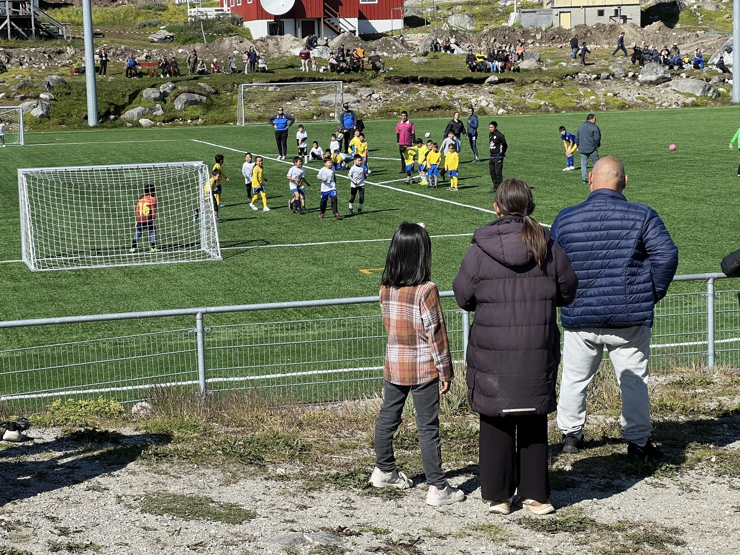
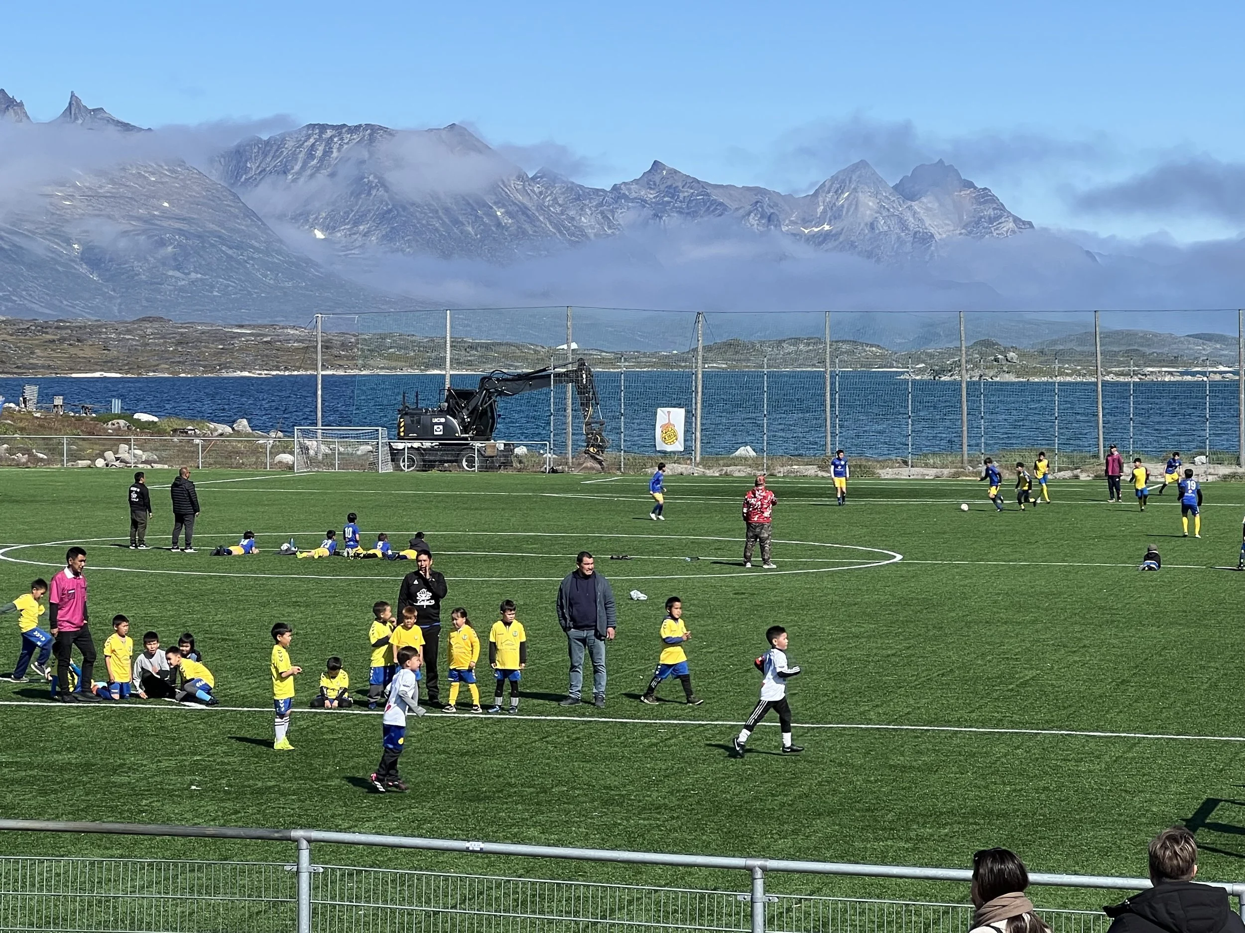
What a view from the soccer field. The whole town turned out for the games.
While in Nanortalik we met some other OCC sailors. Crew of Snow Bear and Bonny who were all heading east. We compared notes and talked about the weather to come.
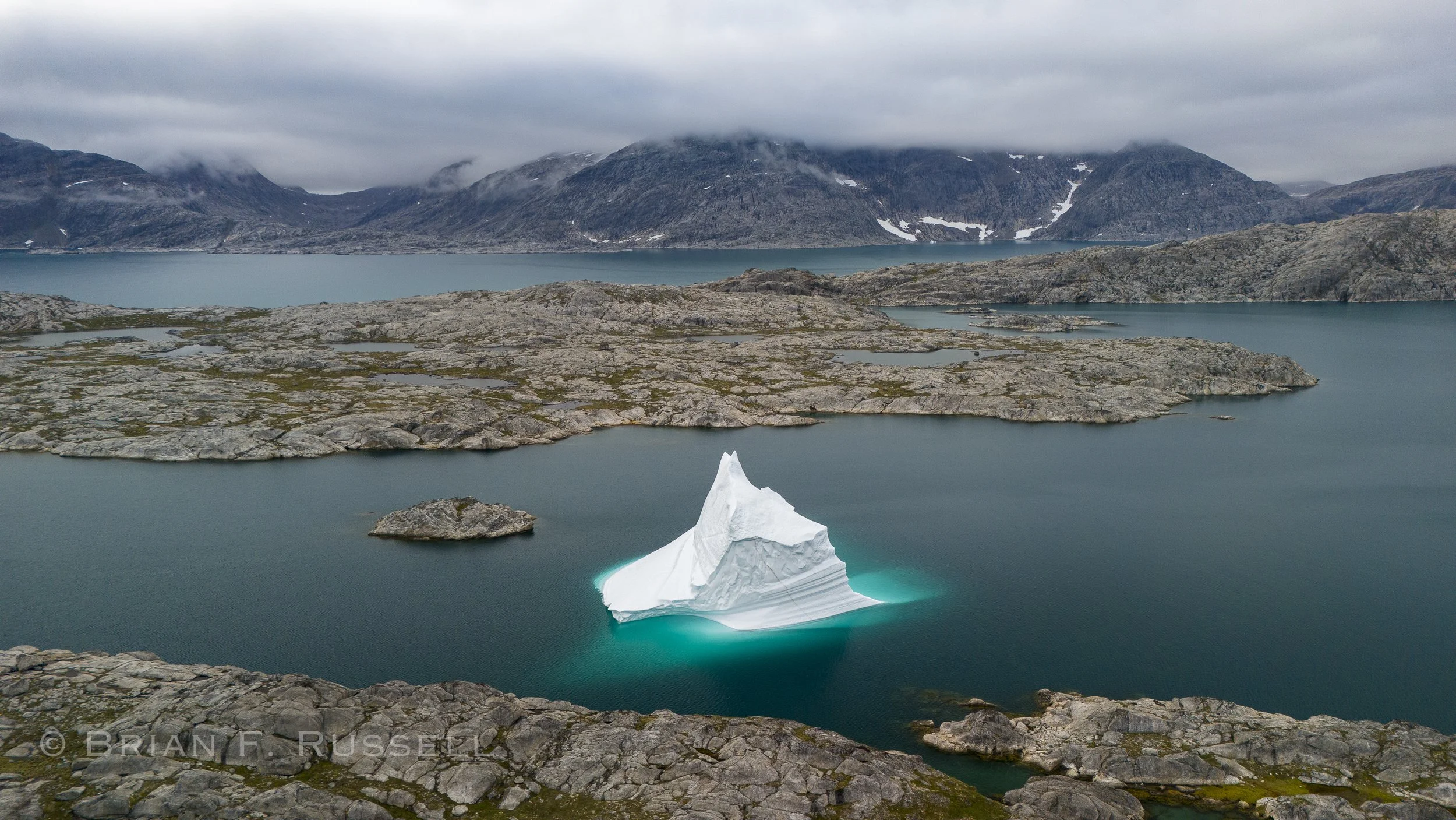
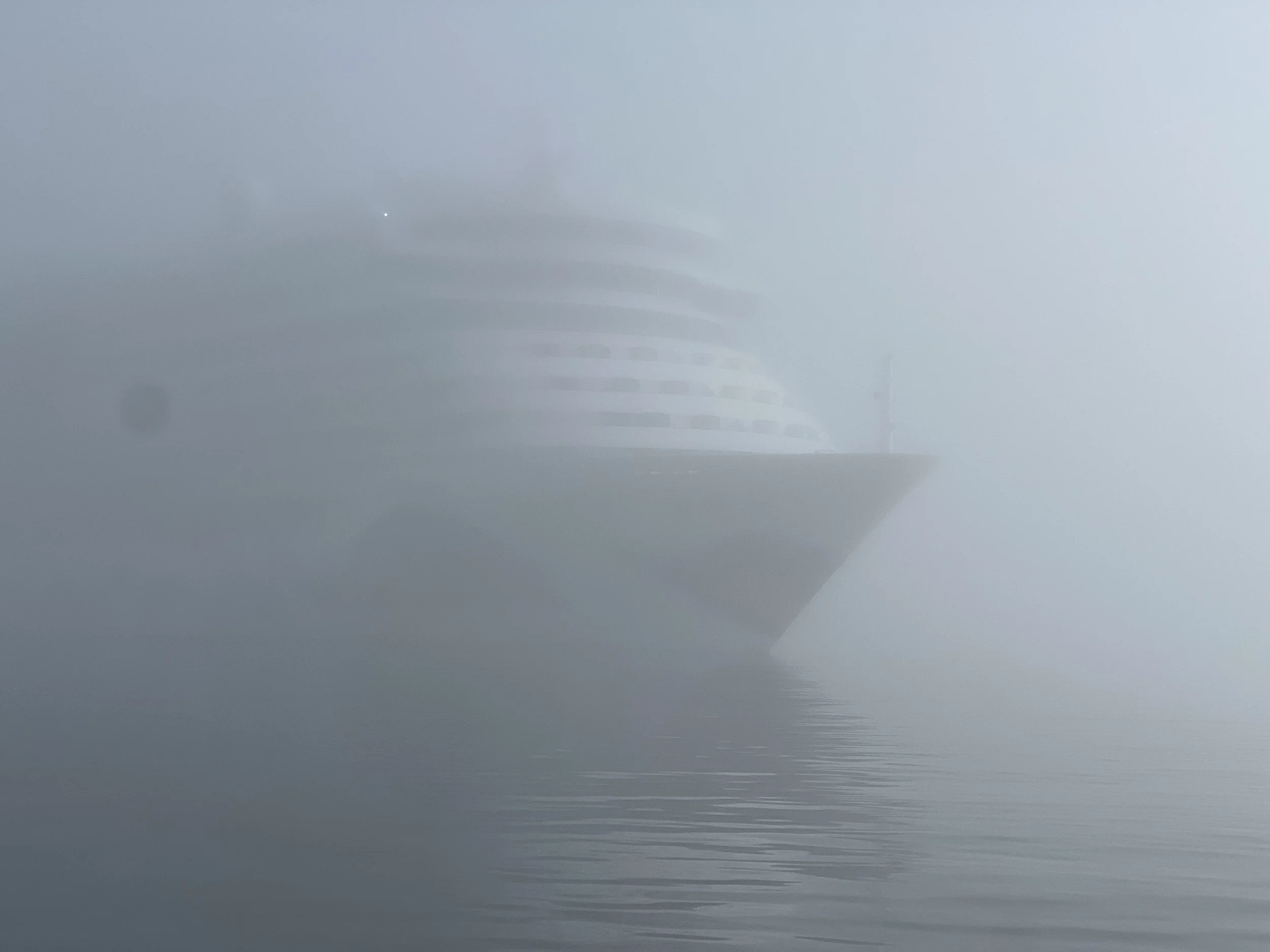
While waiting for a favorable forecast we go exploring the coast north of Nanortalik. We leave in fog, fortunately this monster showed up on the radar. Our journey was all motoring through the skerries and icebergs until we reached our anchorage for the night.

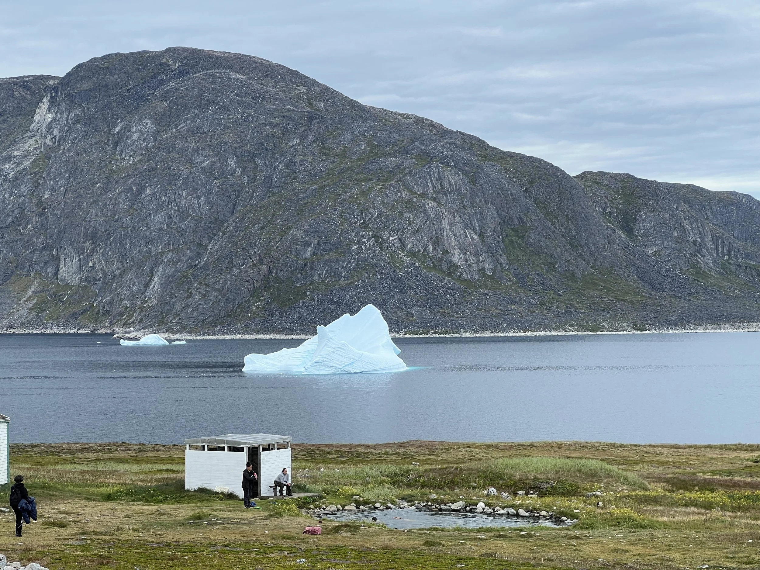
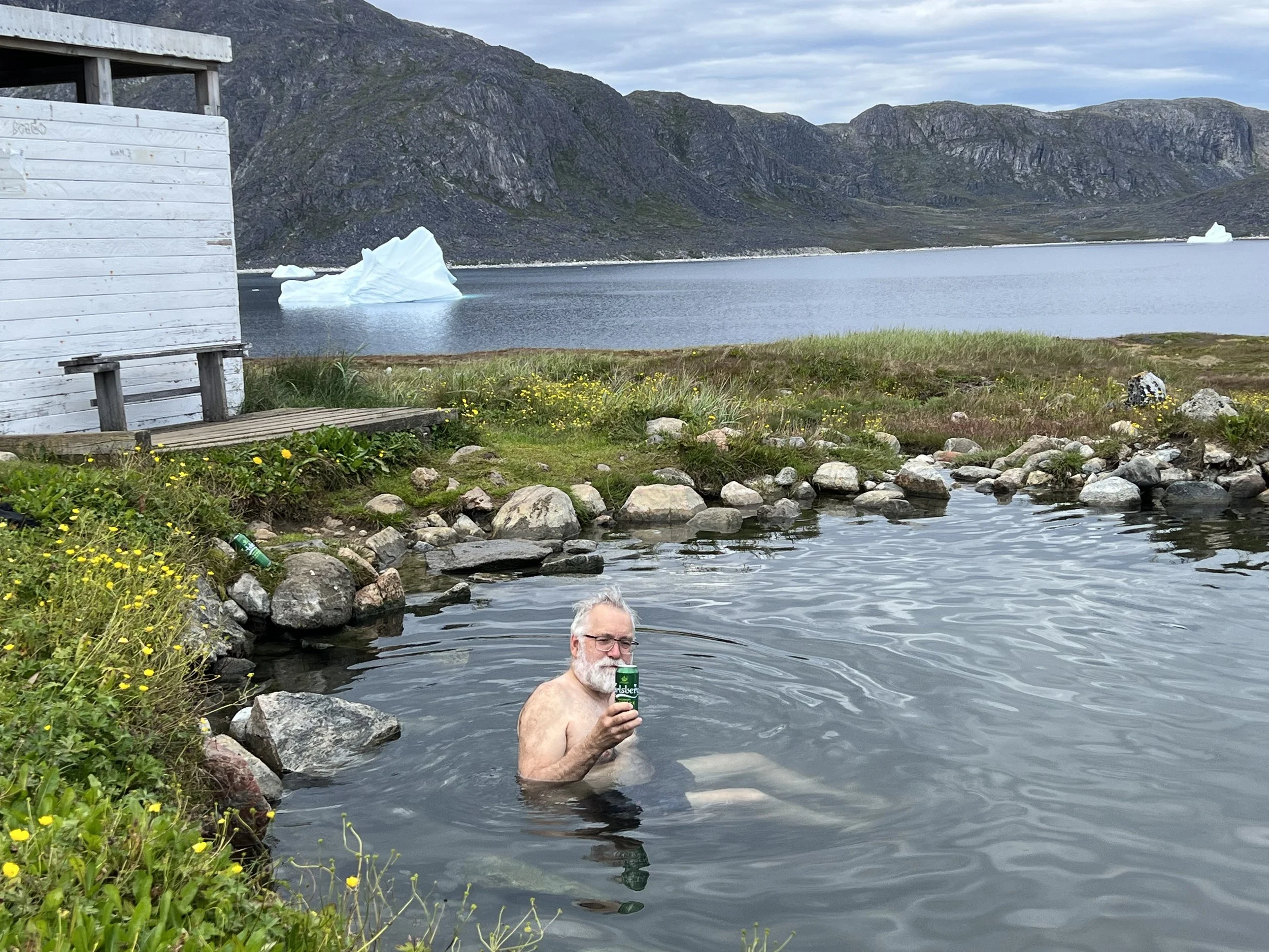
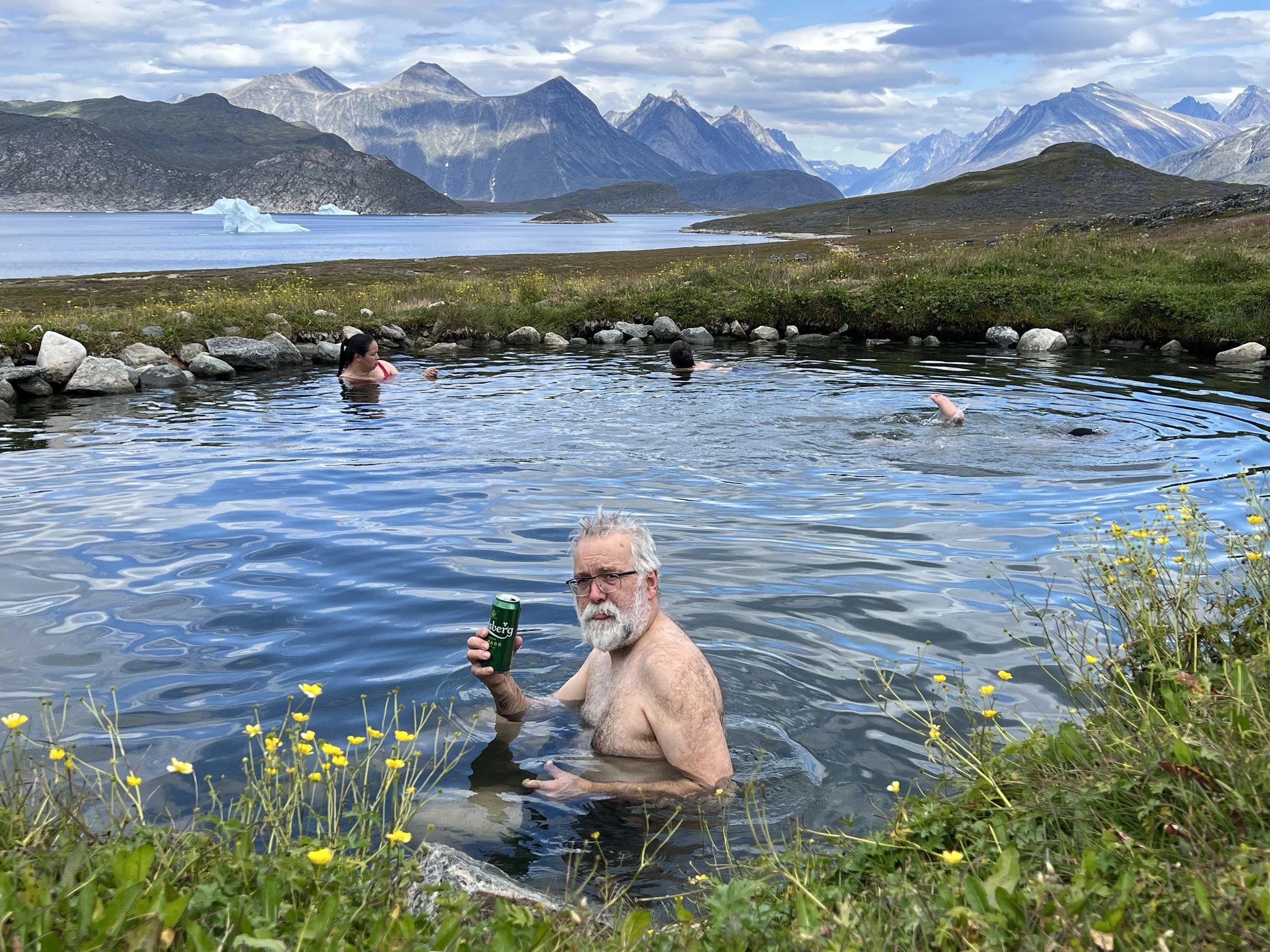
This south western coast of Greenland has a lot of ancient Viking settlements, dating back to the 10th-15th century. There are no ruins to see, just the names of the bays indicate it was once a safe haven. One site, mentioned in The Sagas, is the hot spring on Uunartoq. We drop anchor on the eastern shore in a sandy bay.

Anchorage at Uunartoq.
A short hike up from the anchorage and we find the small spring. It is more of a warm spring than a hot spring, but that is fine. There is a small hut for changing and we slip into the pool. We are sharing the fun with some local children. They were having a good time, but respectful of our presence. It occurred to me, this must be the local swimming pool, the only place with warm, fresh water for swimming in. It was not large, maybe 20ft diameter and barely 3 feet deep.

We while away a couple of days in Zakarias Havn, a protected spot with a shallow bar at the entrance preventing any icebergs from entering.

As the weather seemed to be easing further south, we head back to Nanortalik for one last visit, a trip to the grocery and to top up on fuel. The bergy bit next to the fuel dock added to the docking experience.
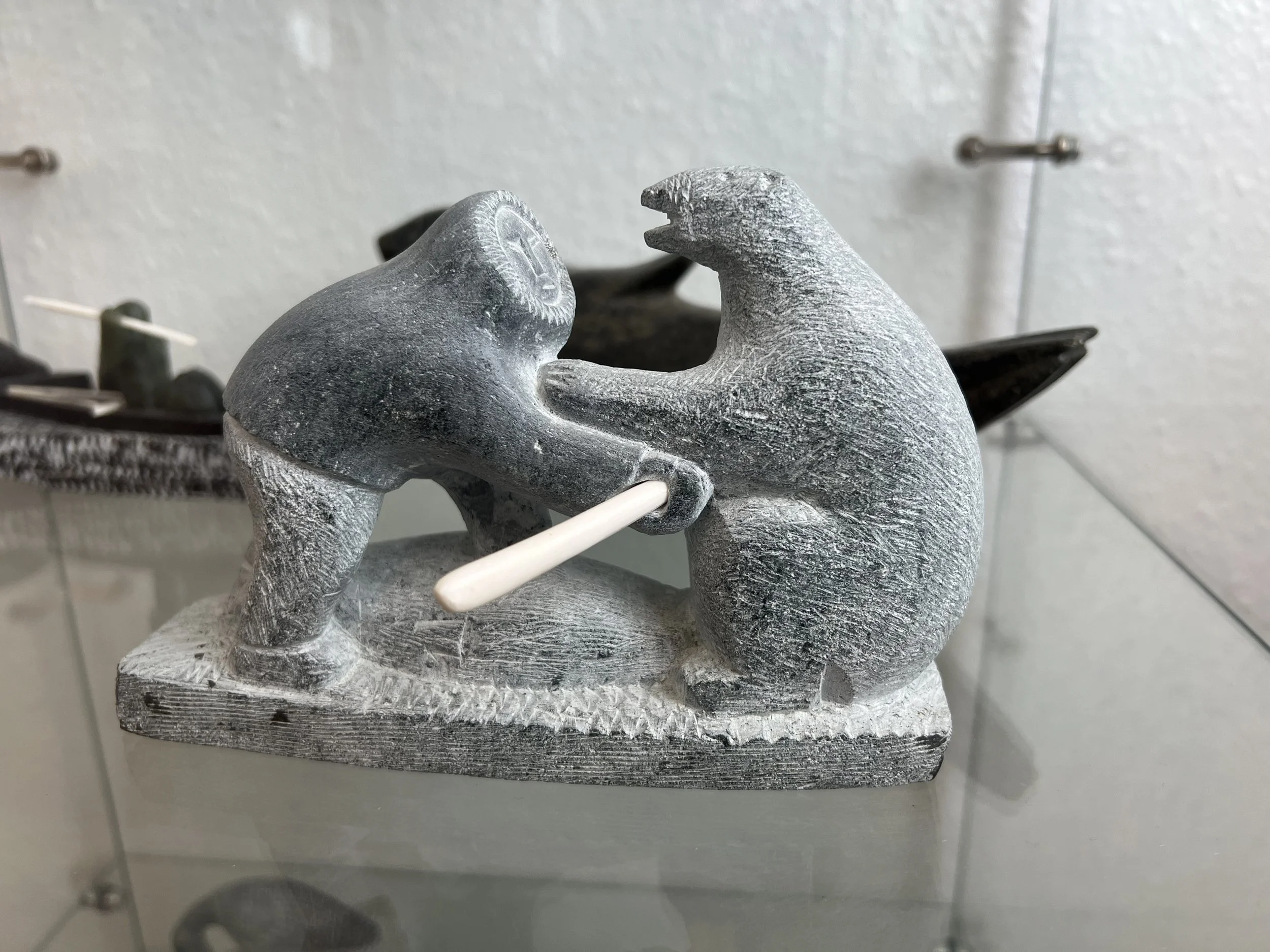
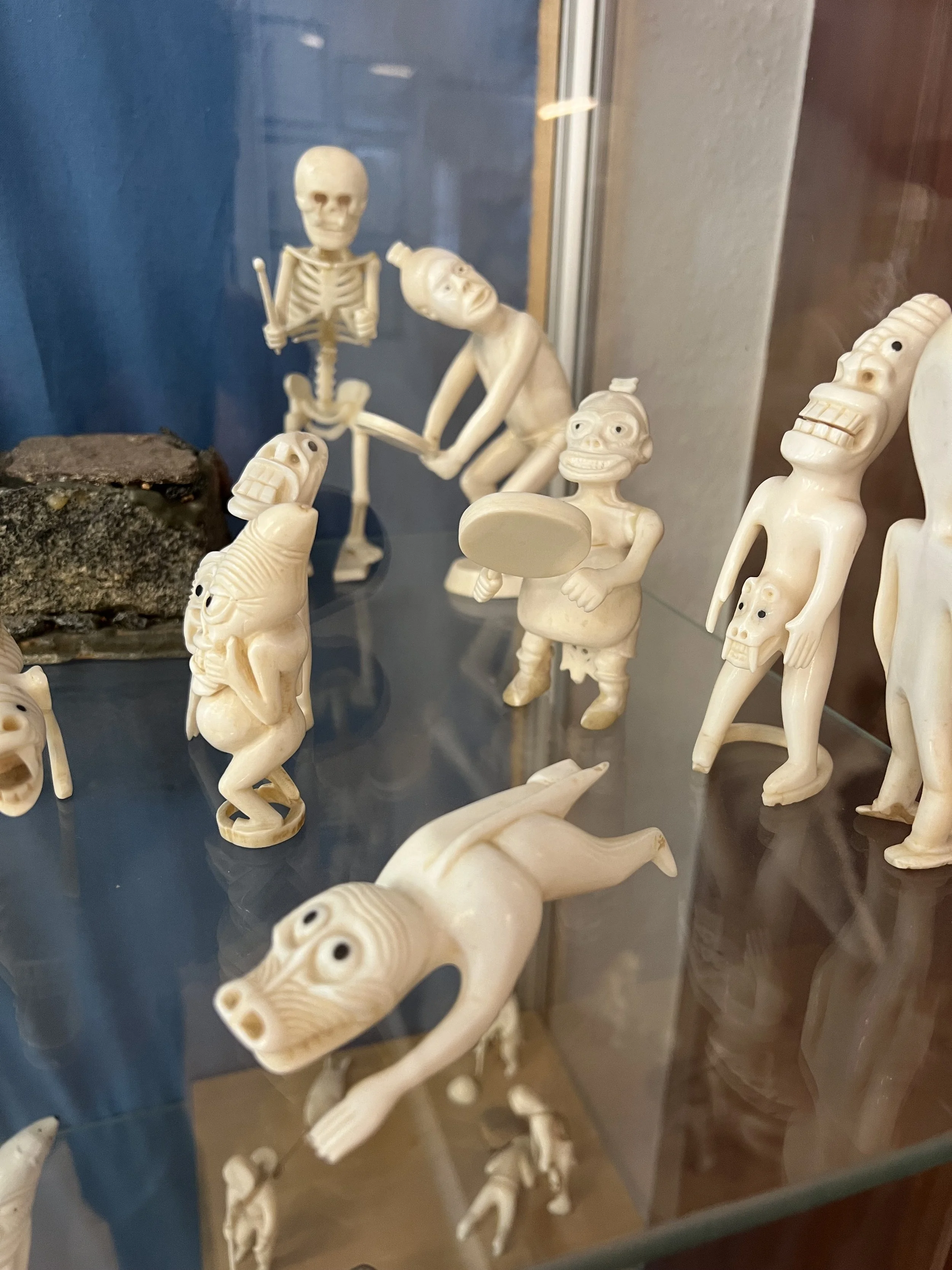
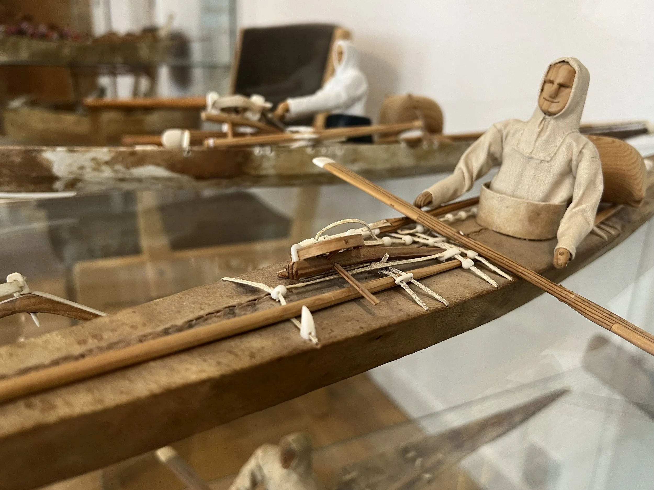
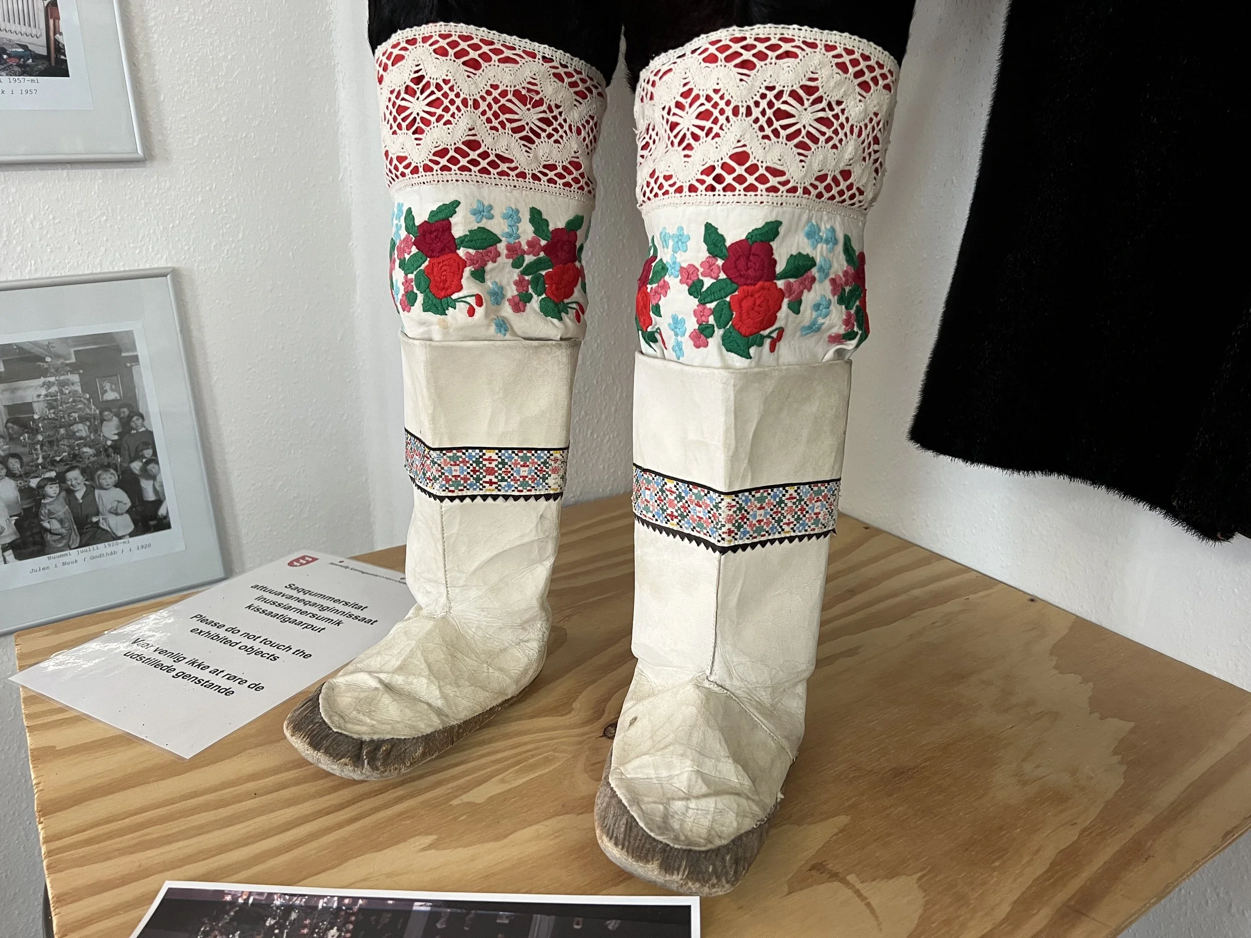
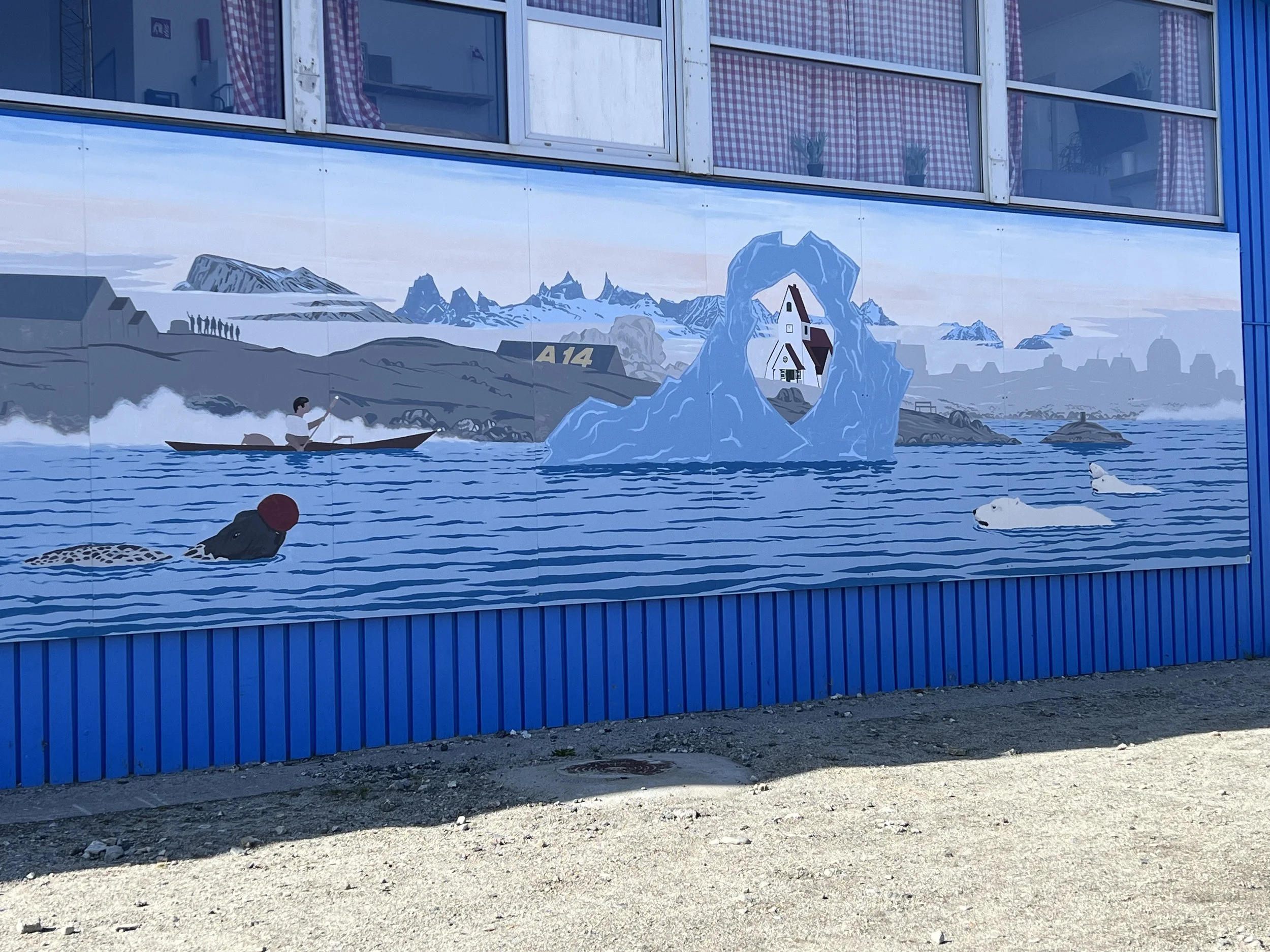
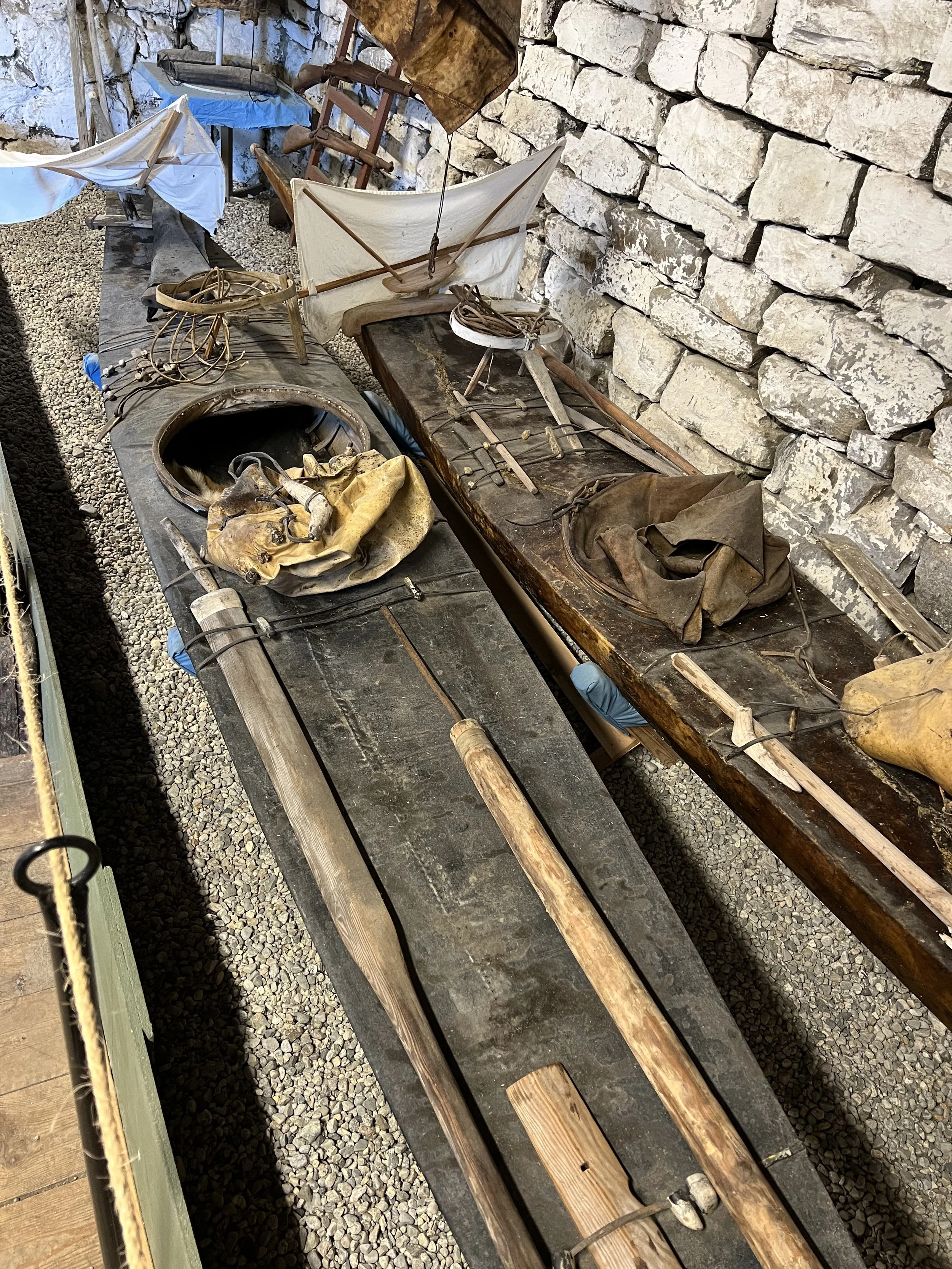
The small museum housed in buildings around the old harbor was a wonderful and eclectic collection of all things relating to Greenlandic history and culture. The traditional kayaks, each custom made to fit the owner, complete with small sail and seal skin “skirt” for keeping the water out.
We depart Greenland the following day. The weather window is far from perfect, motoring for a day to find the wind, then strong but steady winds from the north, on the beam. These winds were being funneled down the Labrador Sea into hurricane Erin, which was passing just to the south of Greenland. The weather models would not agree on what was going to happen at the end of the passage, but as time was beginning to get short, we decided we would suck it up and deal with whatever we got.

Departing the Greenland coastline.
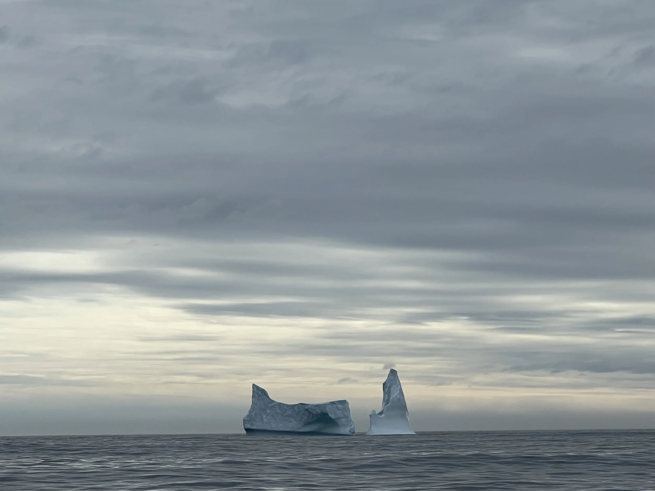
The last iceberg as we head west. Labrador, here we come.
Follow our progress on the tracking page.
https://forecast.predictwind.com/tracking/display/SVHelacious/