Ireland: Inishbofin to Rathlin Island.
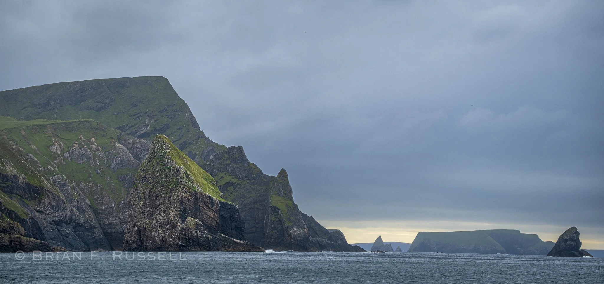
The cliffs get more dramatic the further north we go.
We leave the Aran Isles and Inishmore and sail along the southern shore of the Connemara peninsula. There are numerous bays, reefs, channels and rocky outcrops that would make this a wonderful place to explore - in a shallow draft boat. The cruising guide just did not sell it to us with descriptions of submerged rocks, unexpected currents and large tides which left many bays and inlets completely dry. We anchored in Gorteen bay, an overnight spot to wait for the tide to carry us around Slyne Head.
With the North Atlantic right on Ireland’s doorstep, the swell reaches into the bays of the west coast. The headlands or promentories are very exposed and rounding them takes planning; one needs to consider the tidal currents, wind direction and sea state. Slyne Head, the headland of Connemara peninsula, reaches over two miles out into the ocean with rocky islets and reefs. The cruising guide takes two pages describing a short cut, Joyce’s pass, through the inner part of Slyne Head. It describes the shallow depth, strong tidal current, right angle turns, rocks and reefs with breaking seas in great detail. We decided to go the long way ‘round.
Our next stop was the small island of Inishbofin. Bofin Harbor,on the south coast, was tricky to enter, a leading light guided us through the rocks, shining red if we went too far to the left, green if we went too far to the right, and white if we were on the correct course. Once inside the narrow bay we were suprised to see so many boats. The mooring balls were all taken, a passenger ferry was also parked in the bay and there were quite a few boats at anchor. With a large shallow area ahead of the moorings, and having to leave room for the ferry traffic, it meant we anchored at the back of the pack. It was rather in the swell of the entrance.
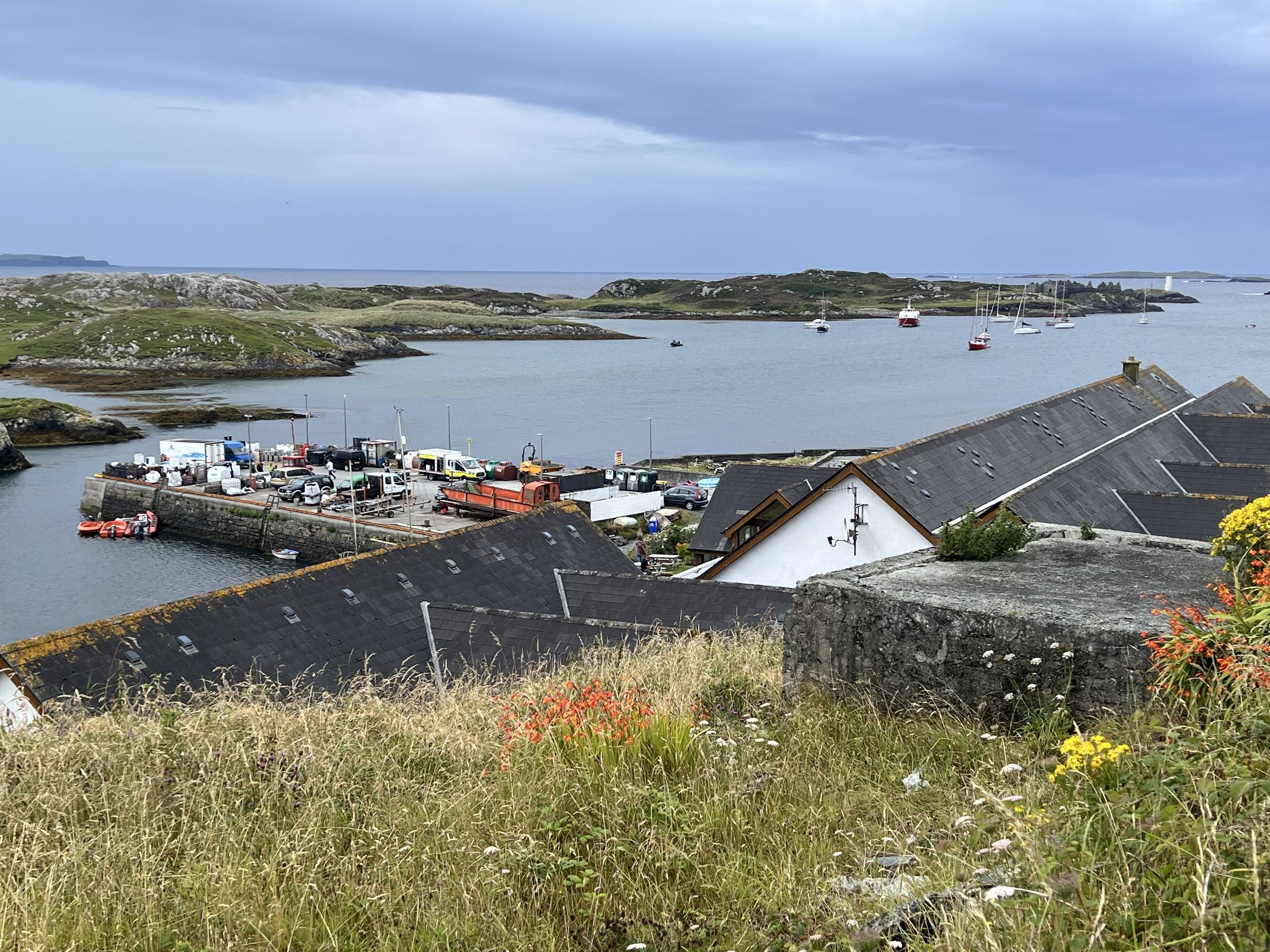
Bofin Harbor, Inishbofin.
The entrance to the harbor was guarded by Cromwell’s ruins, the remains of a prison fort built by Cromwell in 1656 to imprison reticent Catholic clergy. We had a great view of it from our spot, the waves crashing on rocks just beyond.
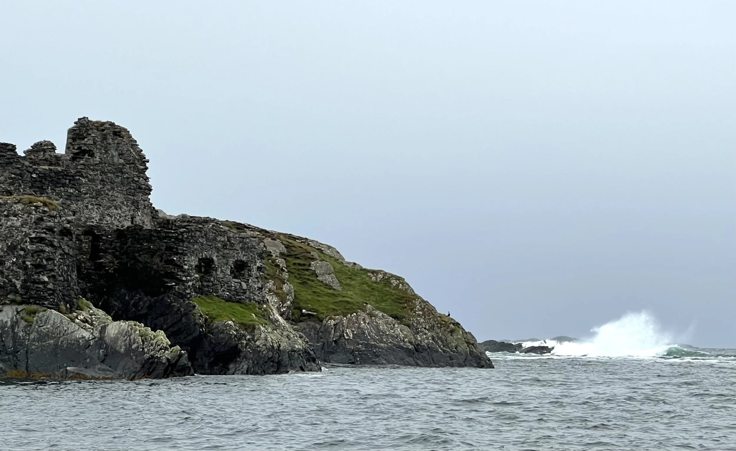
Cromwells Fort blends into the rocks of the hillside.
The weather was not great, so the rest of the day was spent on the boat, catching up on chores. The following morning a mooring became free and we quickly moved further into the bay and out of the swell. This was going to be a great place to shelter from a passing cold front and possible gale and of course, explore.
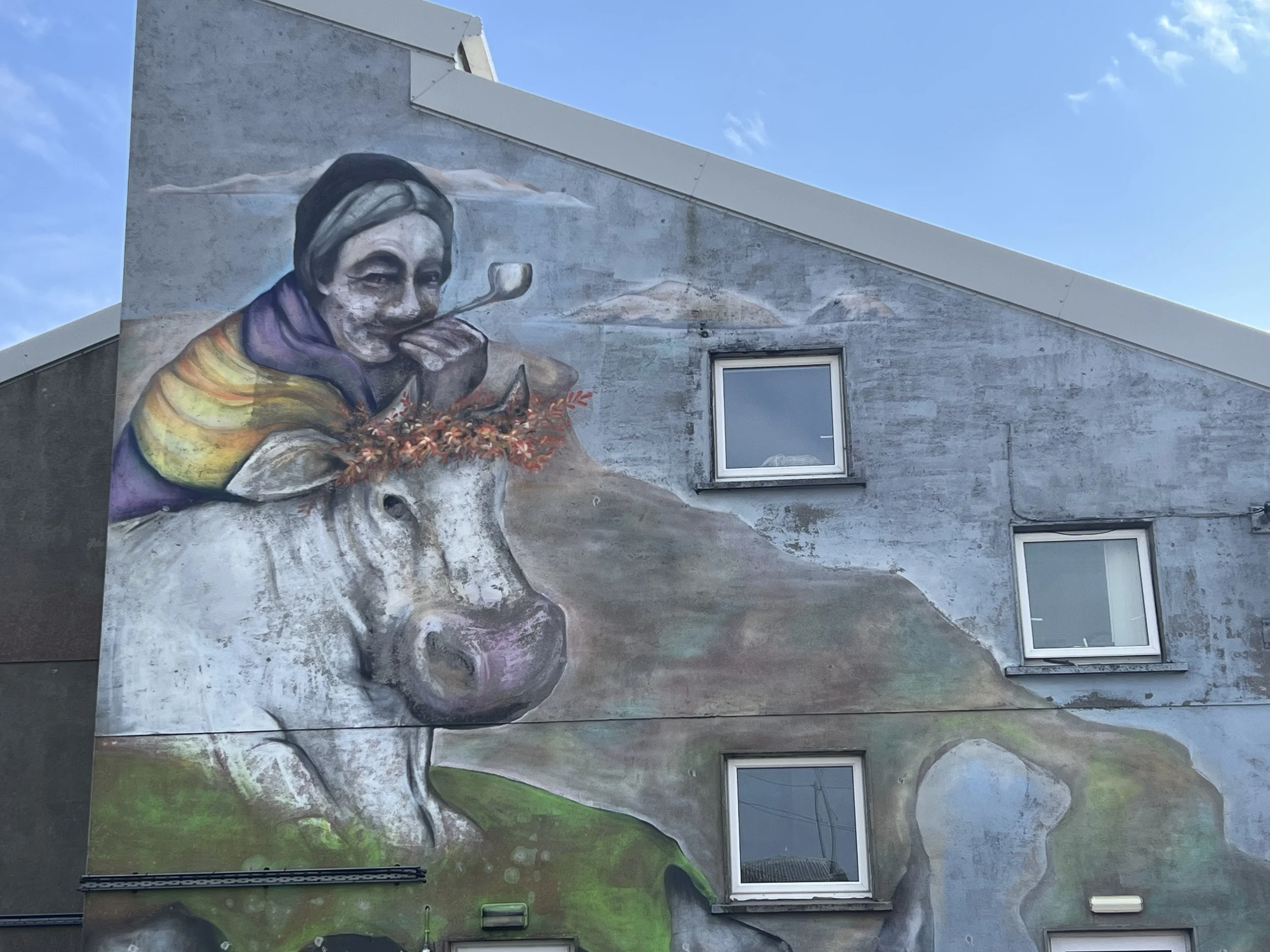
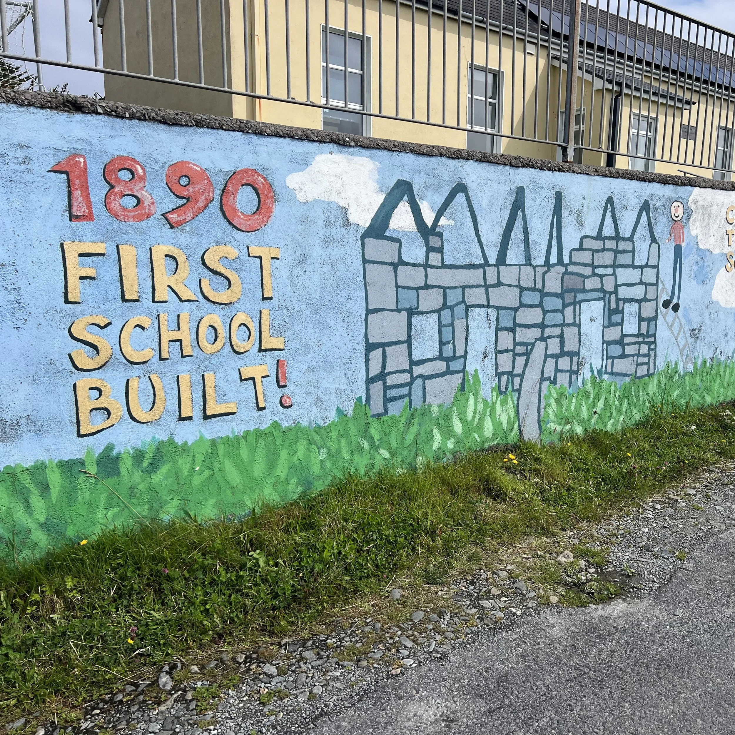
Inishbofin has a reputation as a center for traditional Irish music and also great food. The community center was decorated with a large mural of the namesake of the island (bofin meaning white cow), and the island school had a lovely historical mural along the wall, describing, amongst other things, carrying peat to school to heat the school fire. Nowadays it has more modern conveniences, serving ages 5-12. After that students spend the school week on the mainland, returning for weekends. A hard time for families.
By now Chrystie and Ken on sv Remedy had joined us and we went on a hike around the eastern end of the island. We walked around to a large beach with great views across the sound to the Connemara hills. The rain began just as we arrived at The Gallery, our delightful lunch spot for the day.
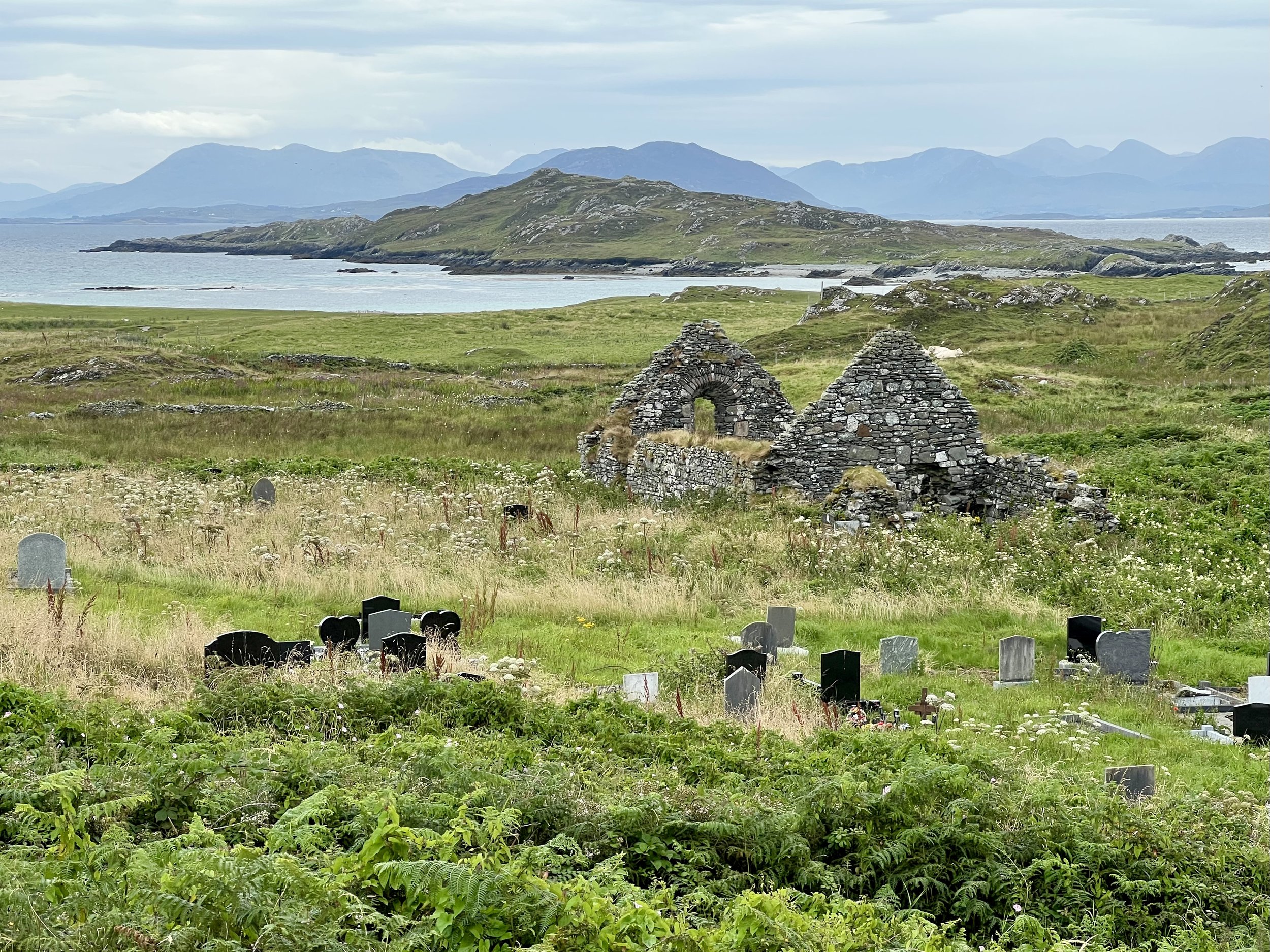
The eastern end of Inishbofin, the Connemara peninsula in the distance.
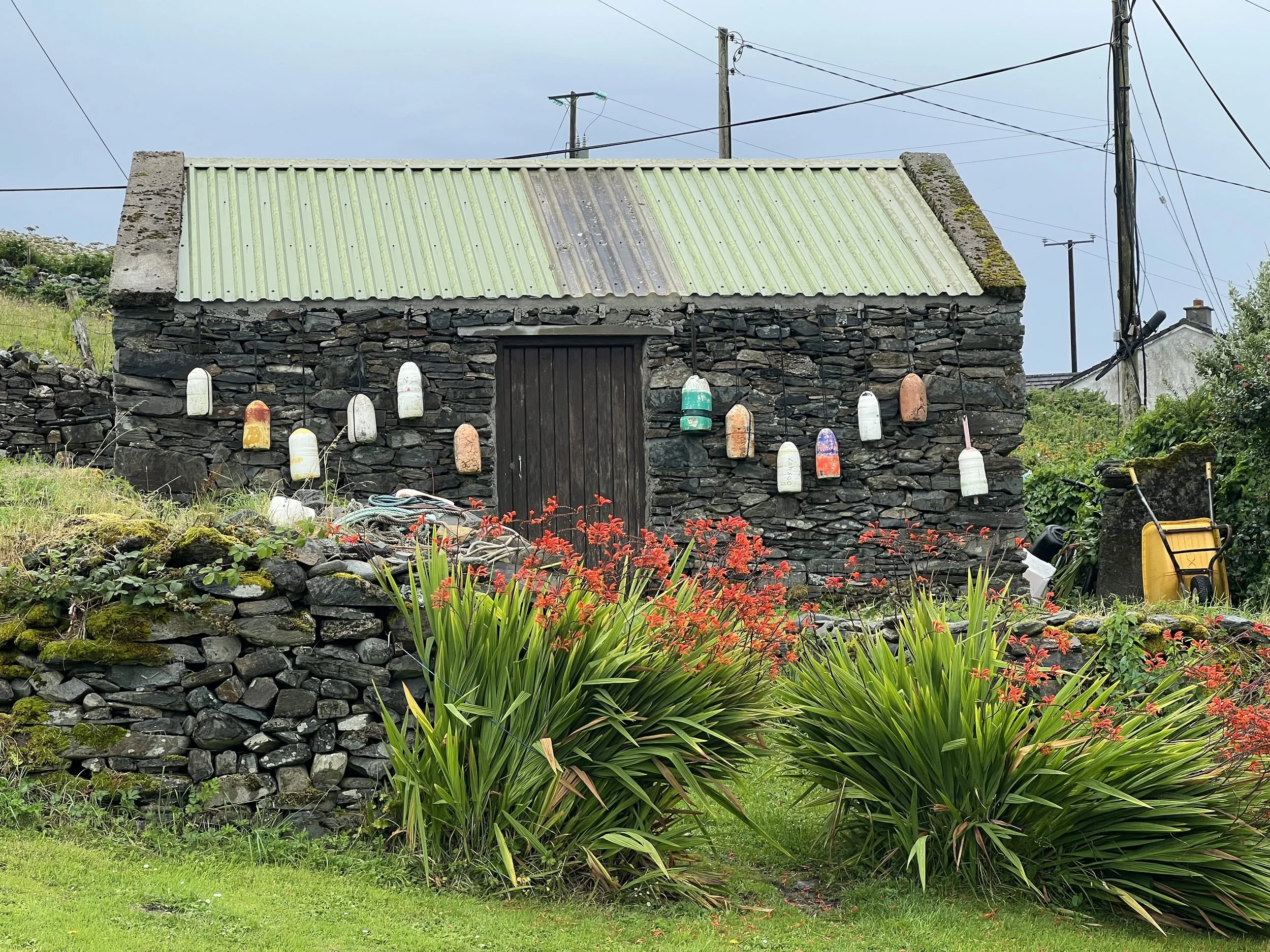
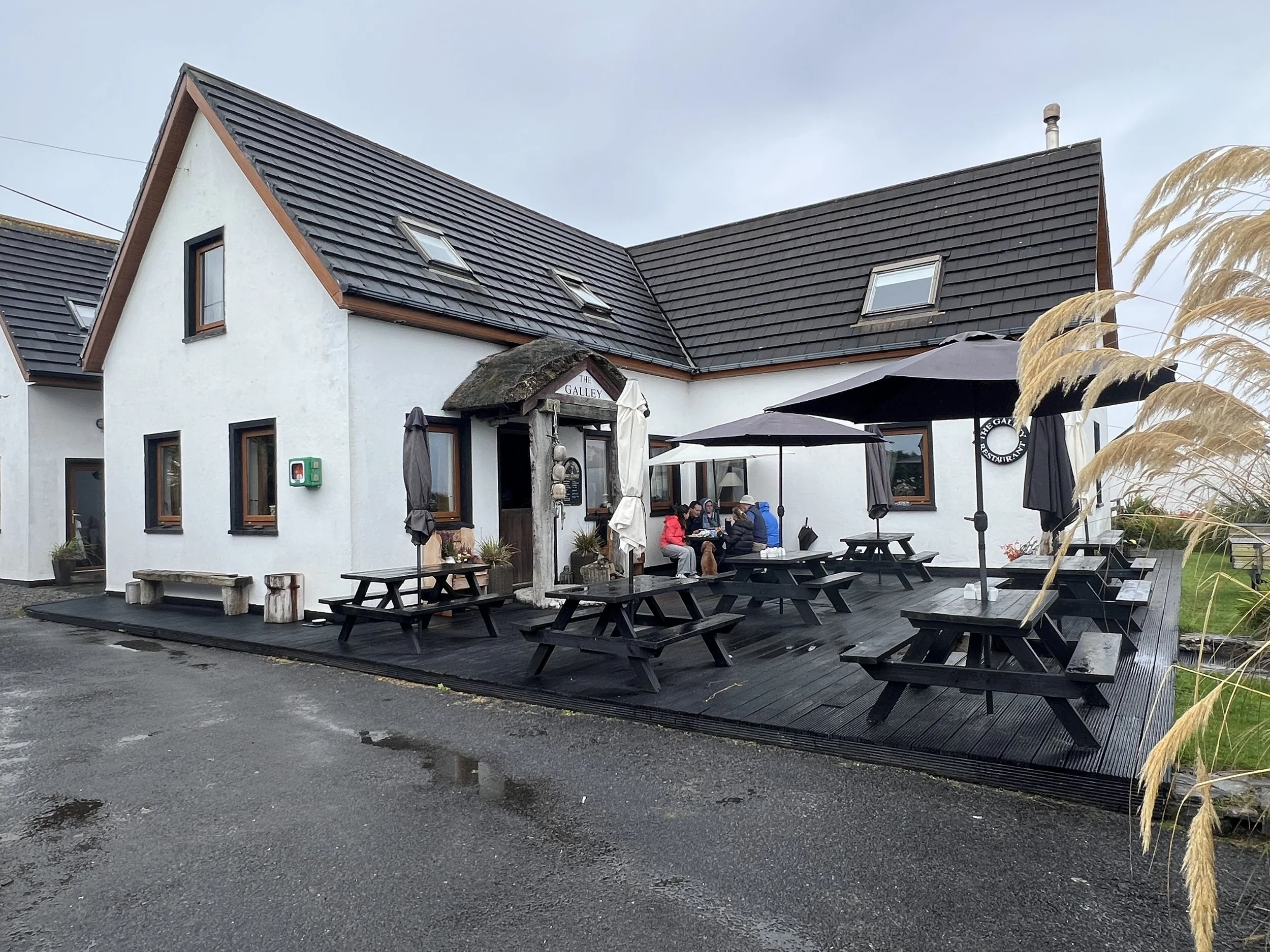
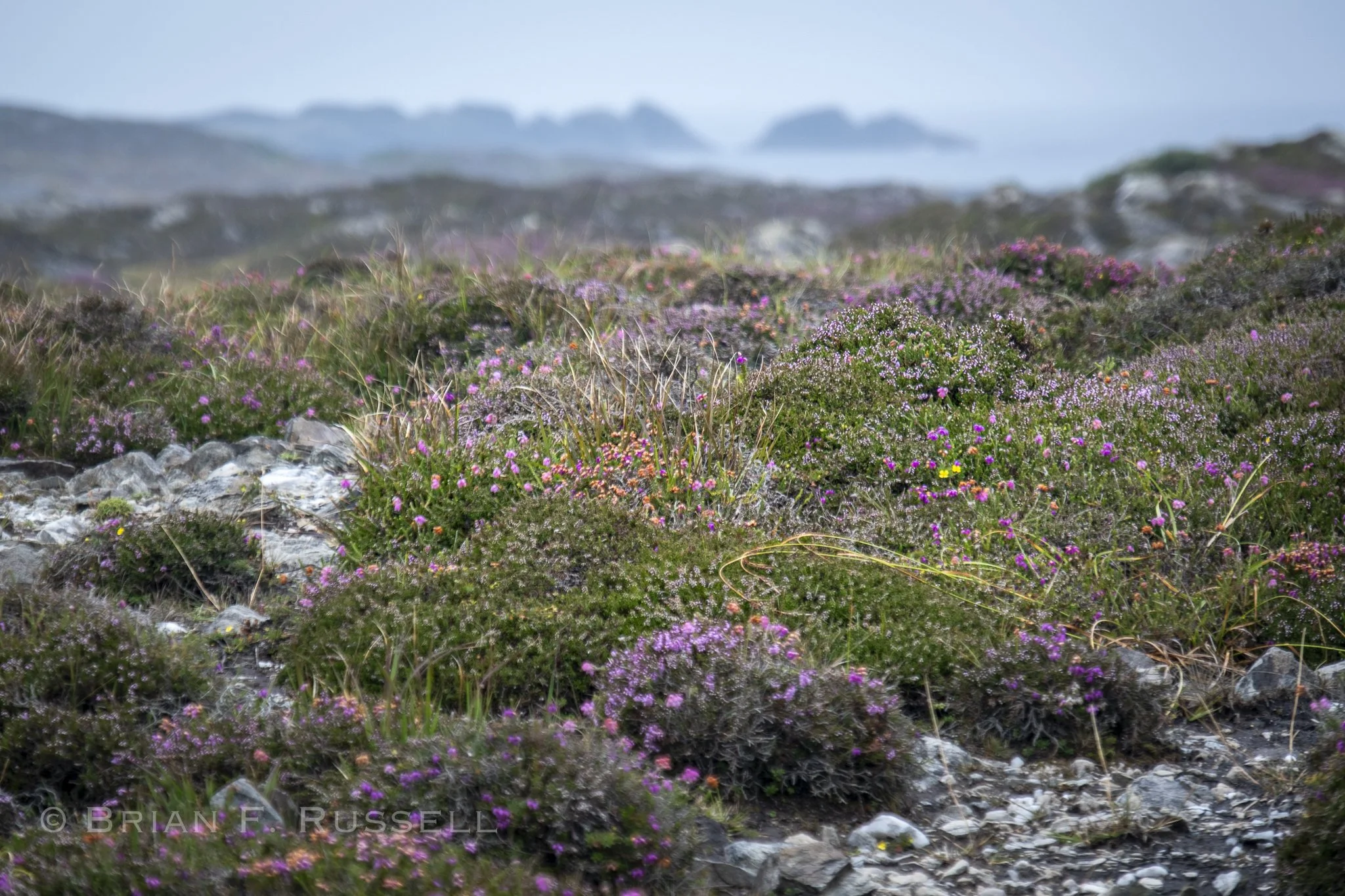
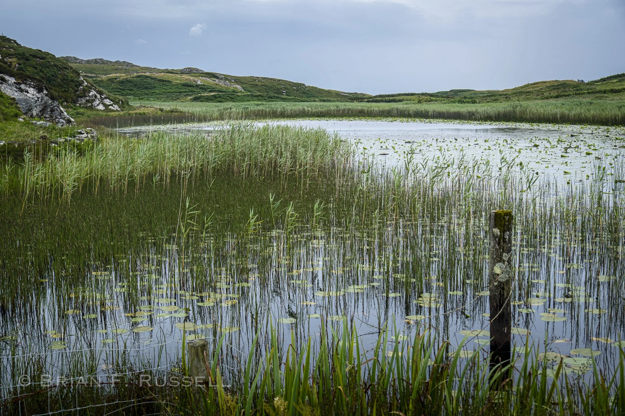
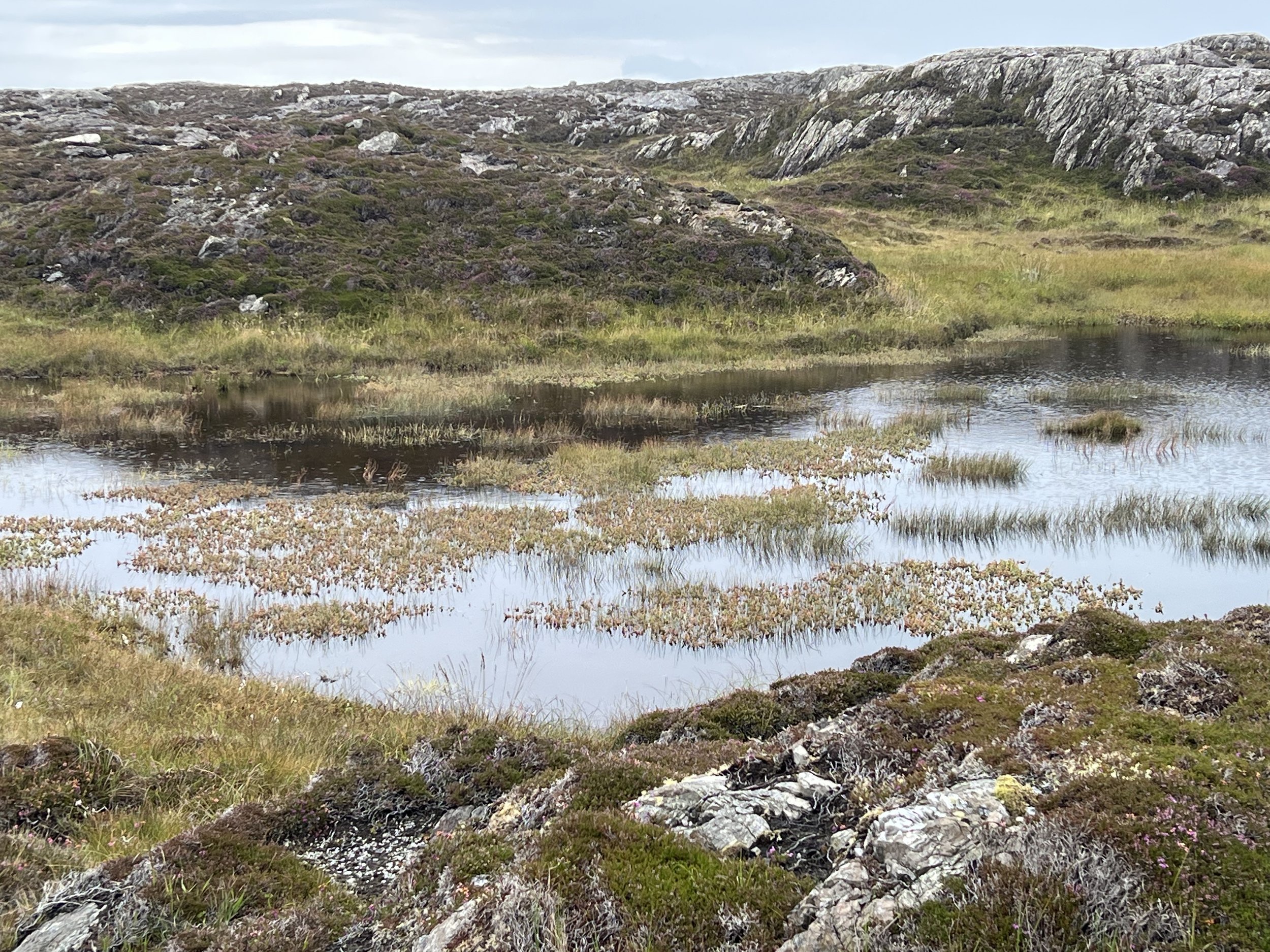
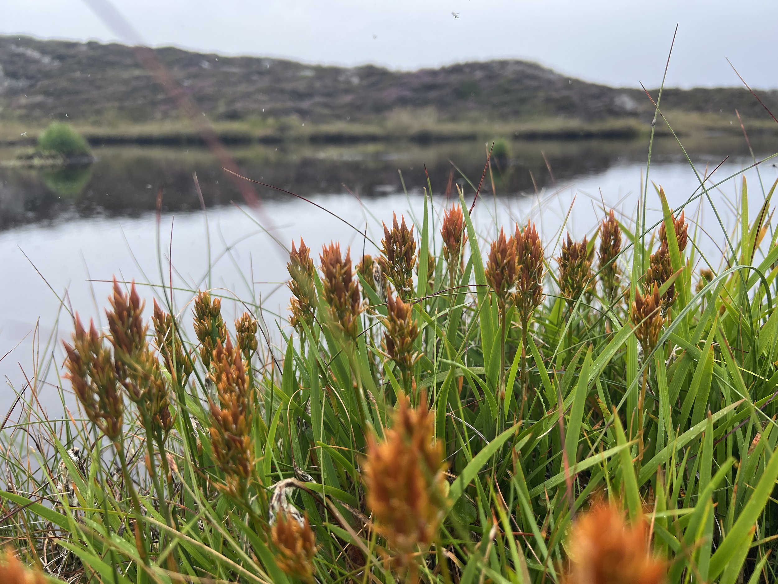
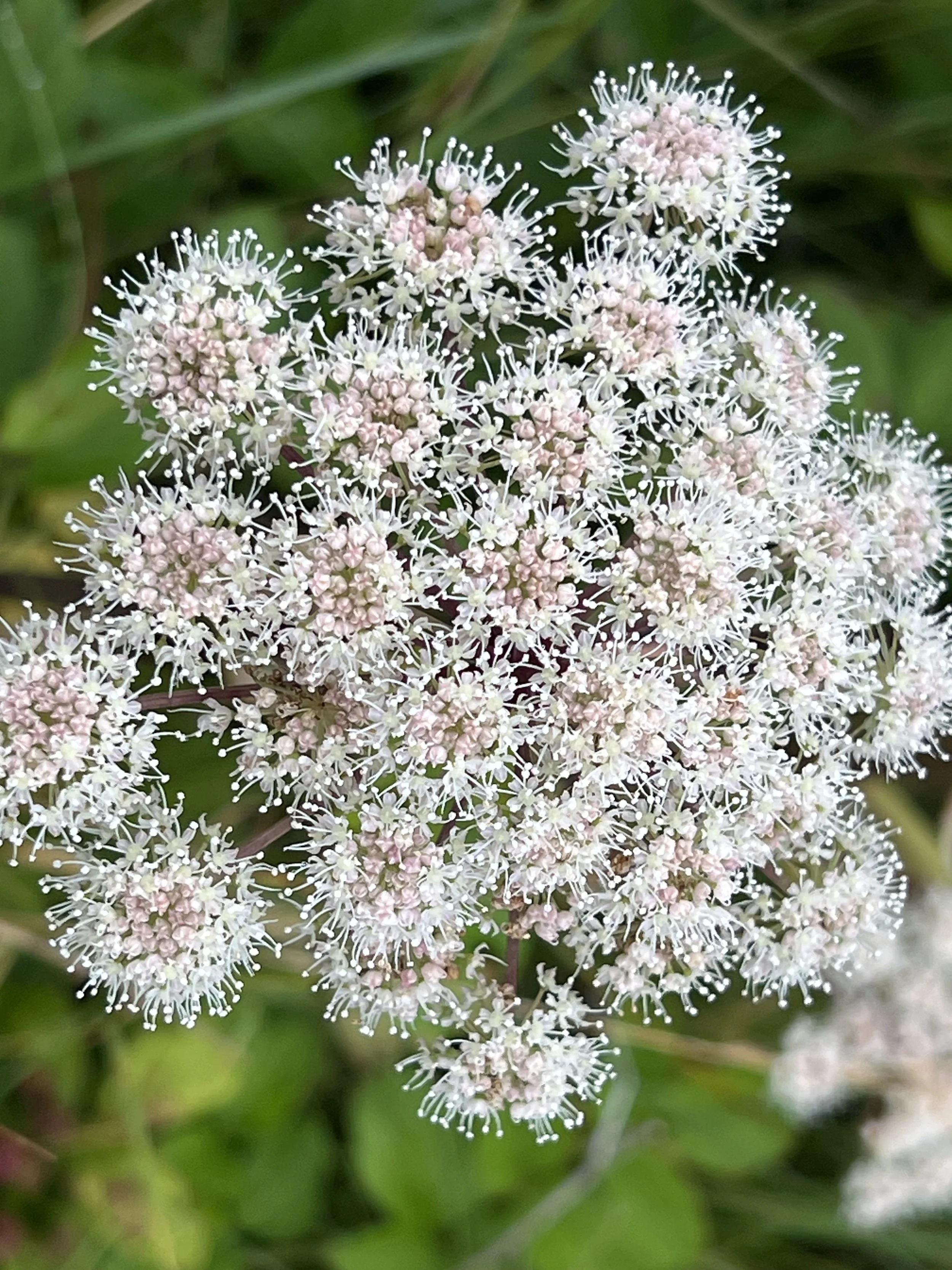
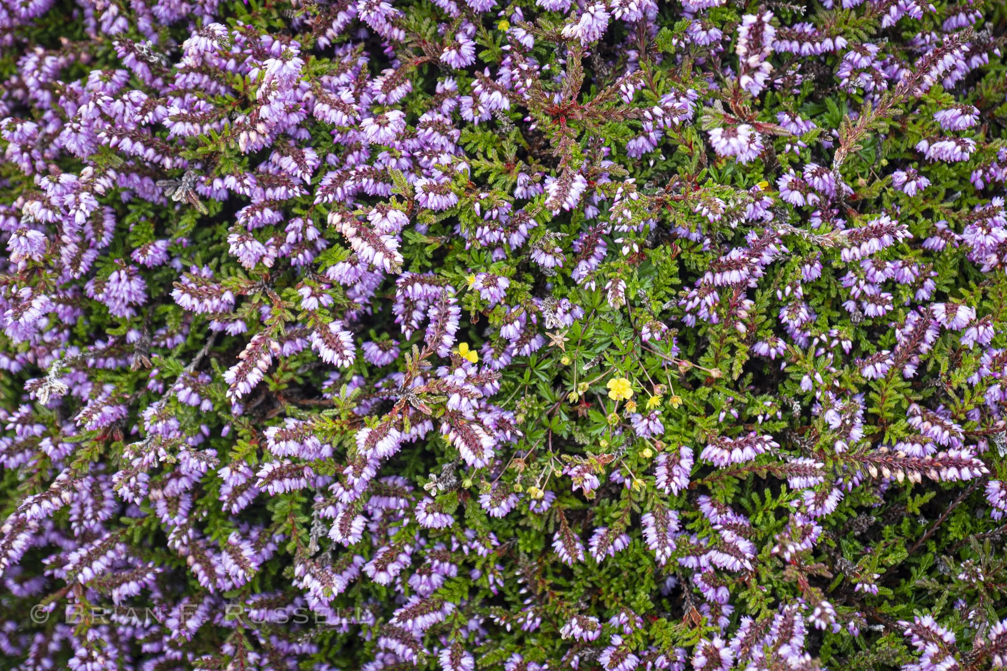
The rain soon stopped and we continued on. The walk through rocky hummocks and hillside freshwater lochs was lovely - the heather was at its peak.
That evening, just as we were about to eat dinner, there was a knock on our hull. Pat, the owner of the ferries that service the island, and also the owner of the mooring we were using, wanted us to move. With the gale forecast for the next day, he needed to move a sailboat he was caring for onto our strong mooring. He told us we could tie alongside the ferry dock if we would like. We finished our meal and moved over. It took a long time to sort out the lines, with a 13ft tide, they could not be tied too tight or we would be suspended from them at low tide. We also did not want them too loose, or we would possibly swing forward into the shallows. With Pat’s help we managed, and then had him onboard to chat and find out about life on the island. Pat had spent his whole life building the ferry business, but was ready to retire, and had started shopping for a cruising yacht. We had lots to talk about.
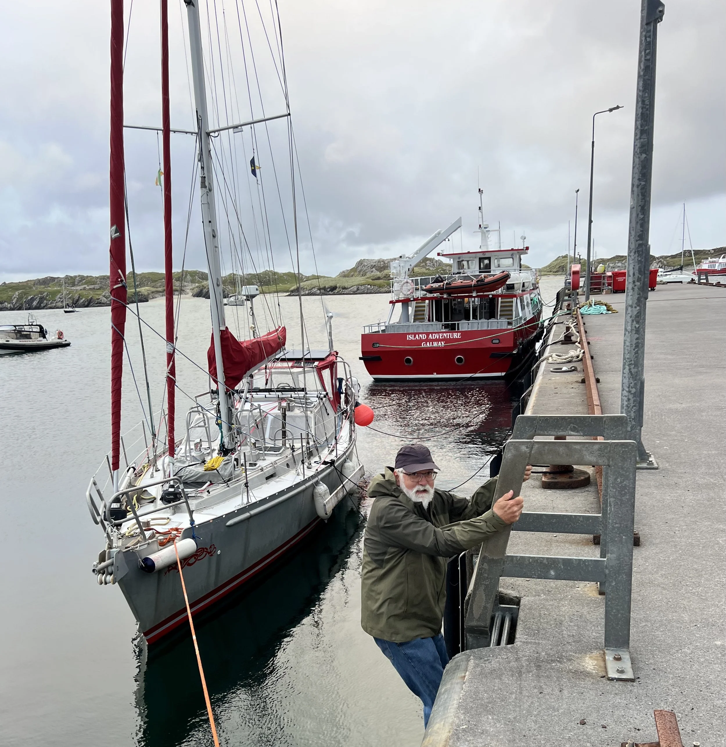
The lines are long to allow the boat to drop another 8-10 feet. Being blown off the dock is good, no grinding and squeaking.
Overnight as the gale blew through we were glad to have the protection of the stout pier. The following day as the ferry was preparing to depart Brian got talking to Andrew Murray on the dock. He was delivering guests from his hotel to the dock for the ferry ride back to mainland. He also was dreaming of taking off and cruising, so after chatting for a while, he said to come by the hotel for lunch or dinner as his guest. How generous!
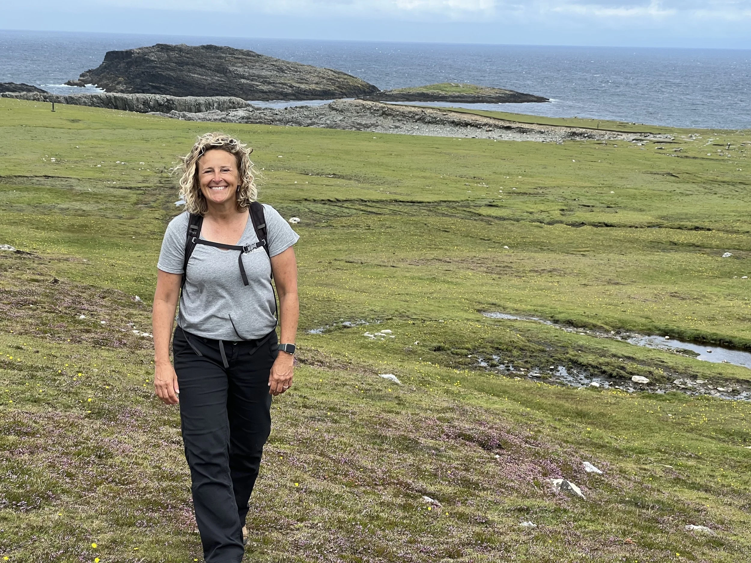
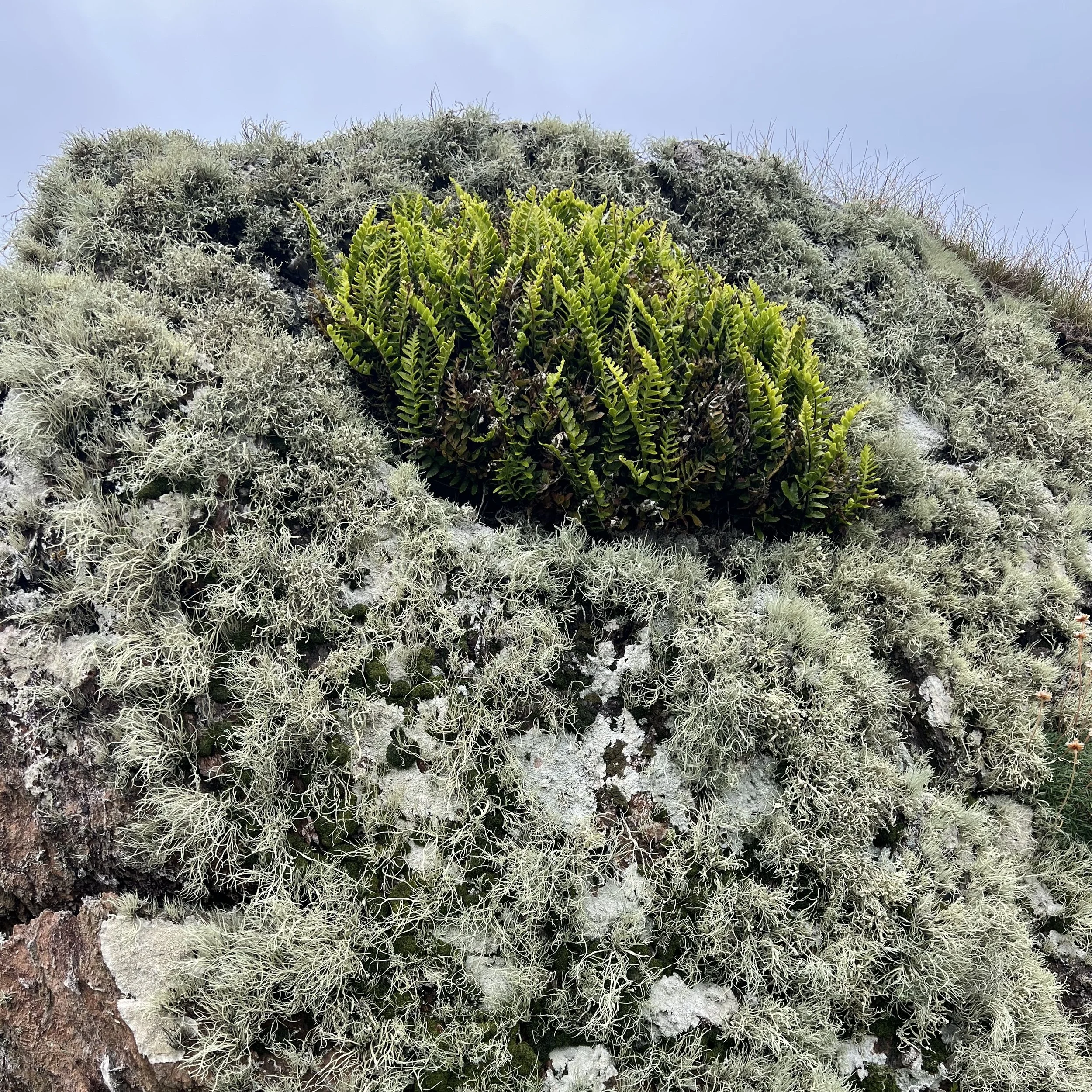
We went for another walk with Chrystie and Ken, around the western side of the island, quite different topography. Here the land was flat and grassy with areas of peat that had been cut. As with most of these west coast islands, there were no trees.
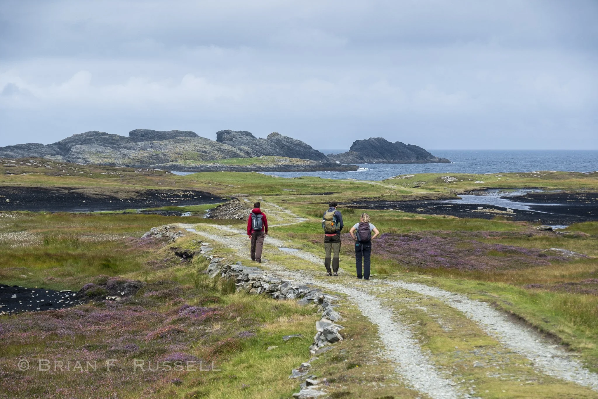
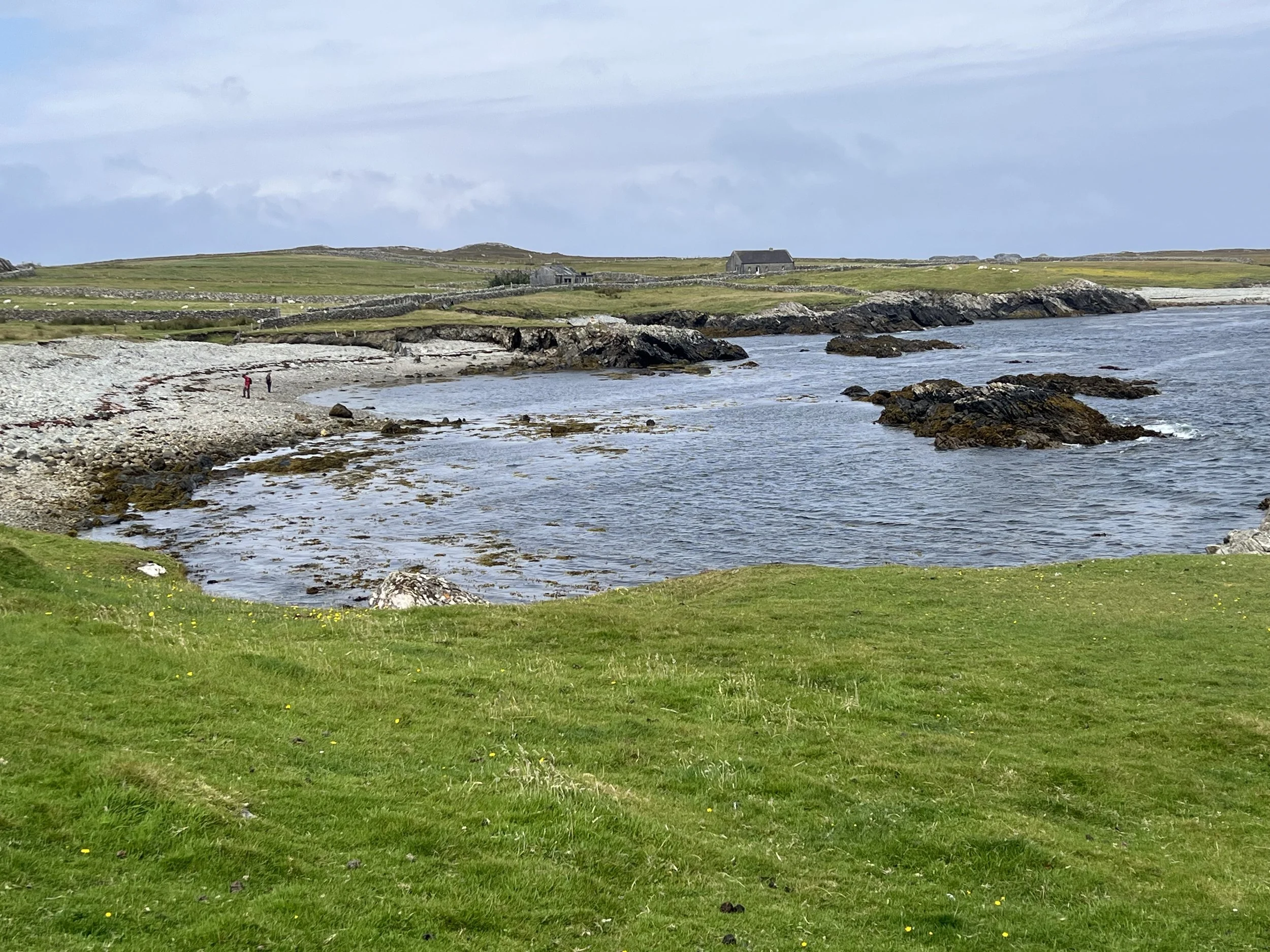
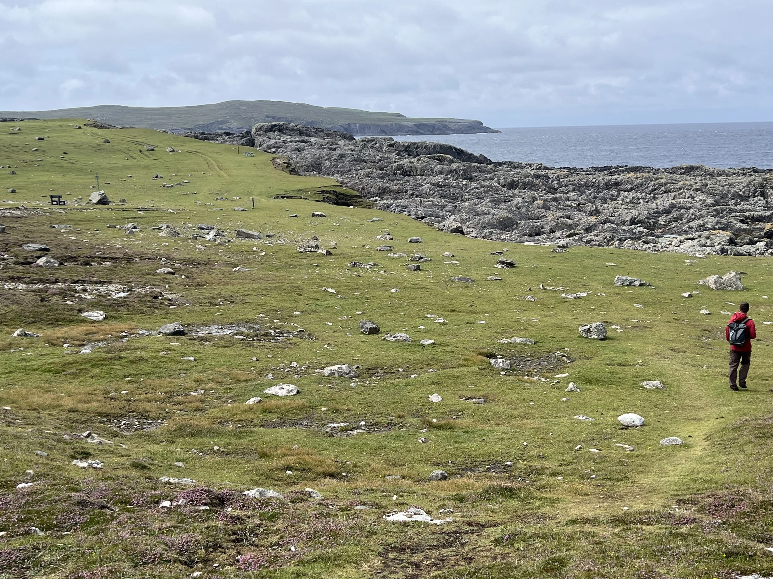
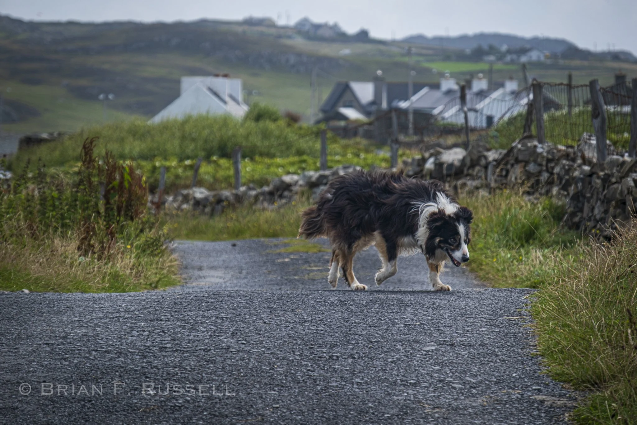
A working dog.
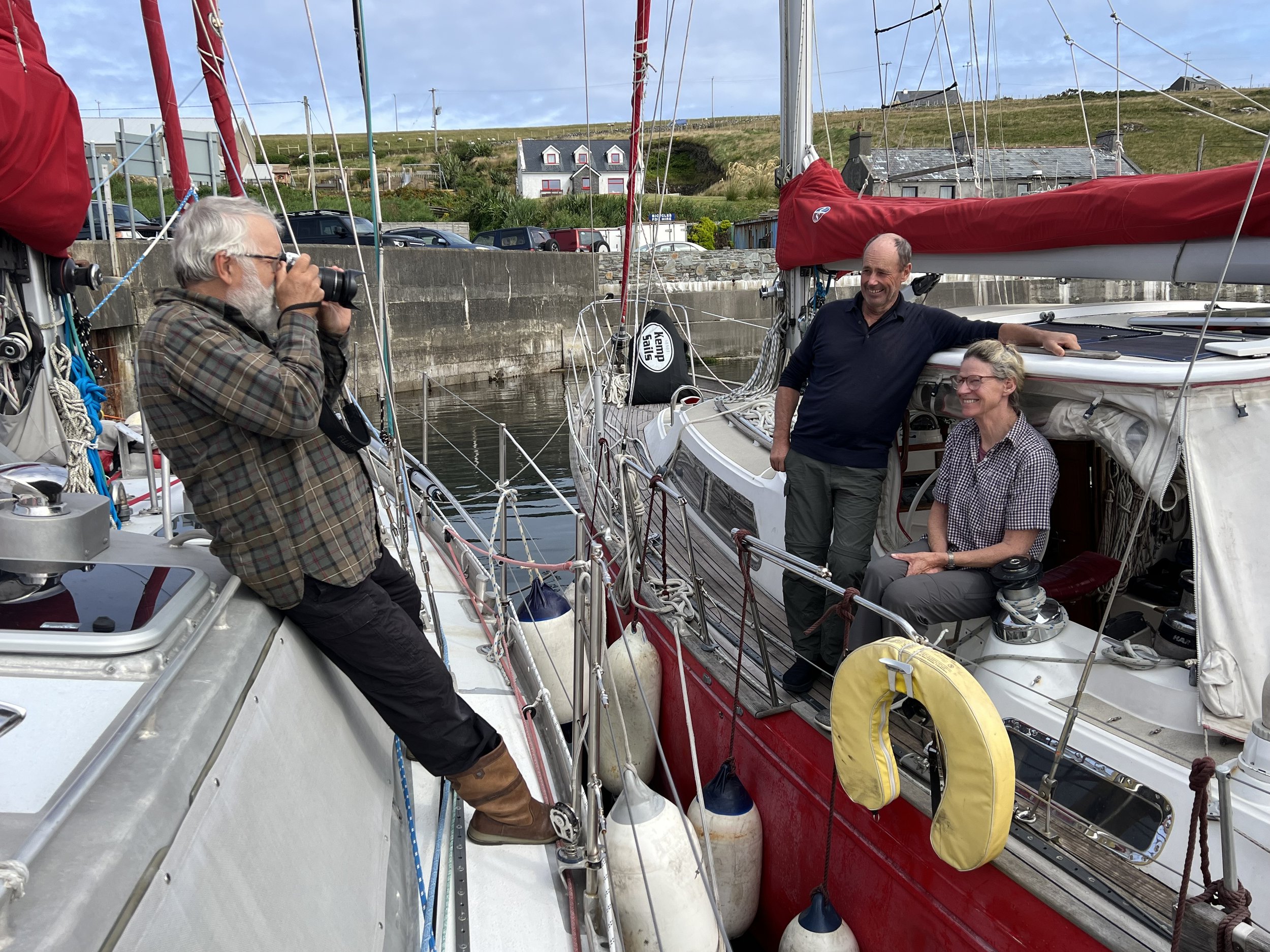
Dinner that evening was wonderful, thank you so much Andrew. The following morning as we were eating breakfast we got a knock on the hull. Would we mind having a boat raft up to us. SV Seamogs had fouled their anchor in the bay. Sometimes in harbors that have been used for many years, or indeed centuries, there is debris like old chains, old moorings, shopping carts, you name it, on the sea floor. An anchor can get caught in this and not pull up easily. In this case the anchor and chain must be cut away from the boat, leaving a float on the end of the anchor chain to locate it at a later time. Seamogs were planning on dropping their chain to retrieve later, hopefully by themselves, but possibly with a diver’s assistance. They needed somewhere to secure the boat in the meantime. Not a problem. We welcomed Matt and Jo alongside, and heard all about their other life as Merino sheep farmers in New Zealand.
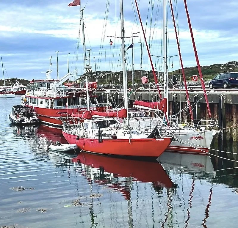
So much red on the dock. It made the local news, the picture is taken from the article.
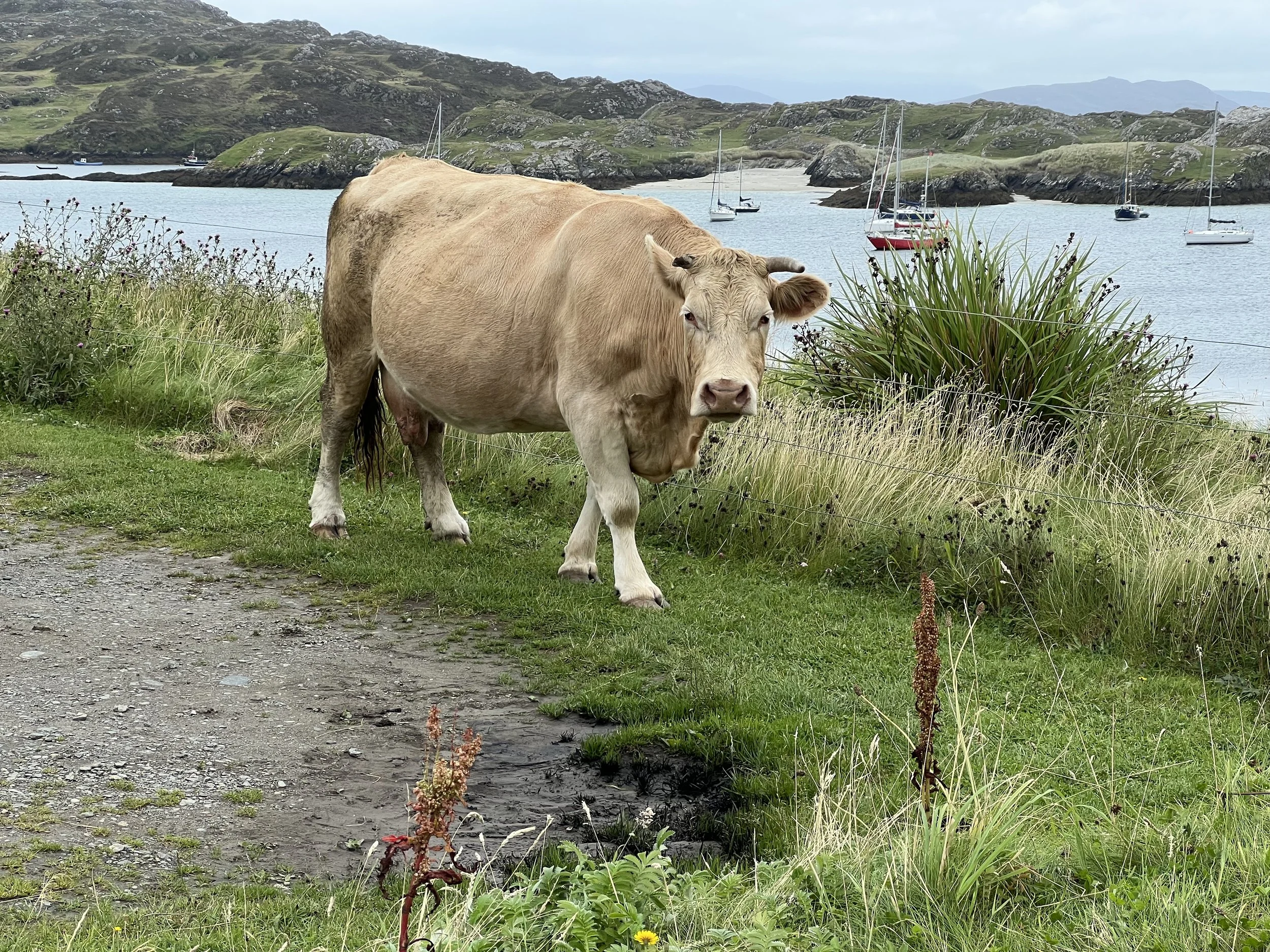
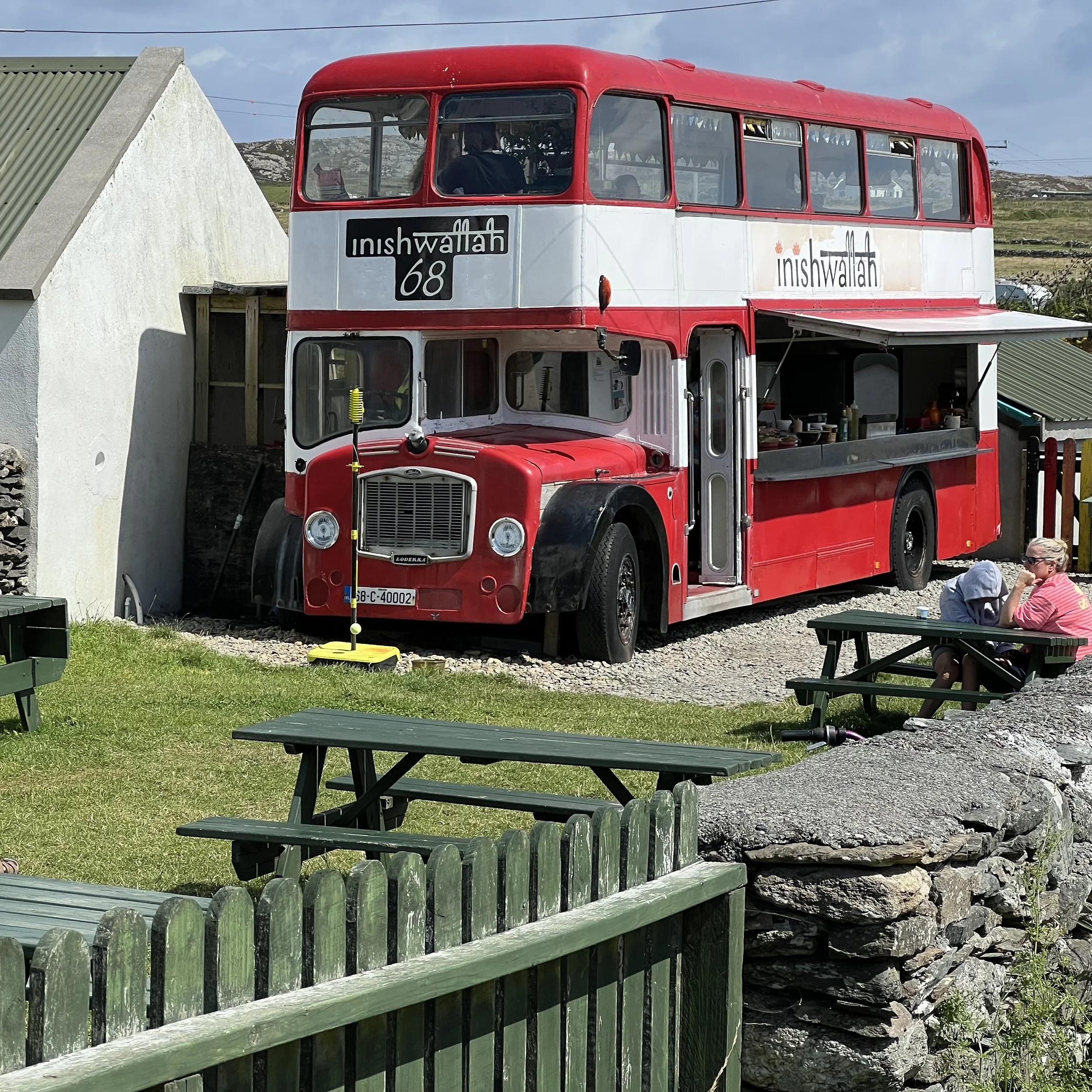
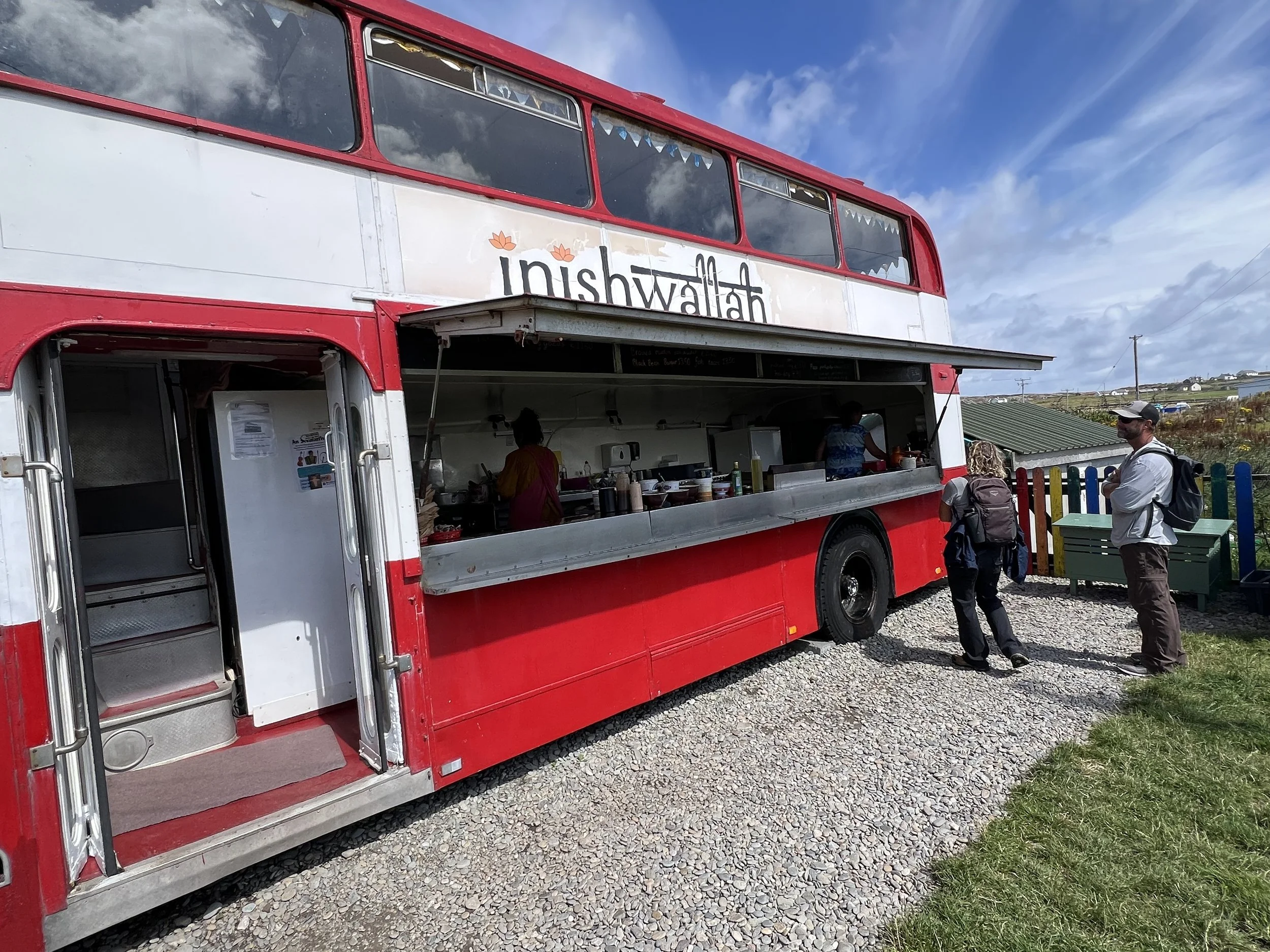
On our way to lunch at the final eating establishment on the island, we passed the white cow of Inishbofin, wandering free through the lanes. Inishwallah is a quirky food truck serving delicious lunches, Brian enjoyed a mutton wrap while I had halloumi sandwich.
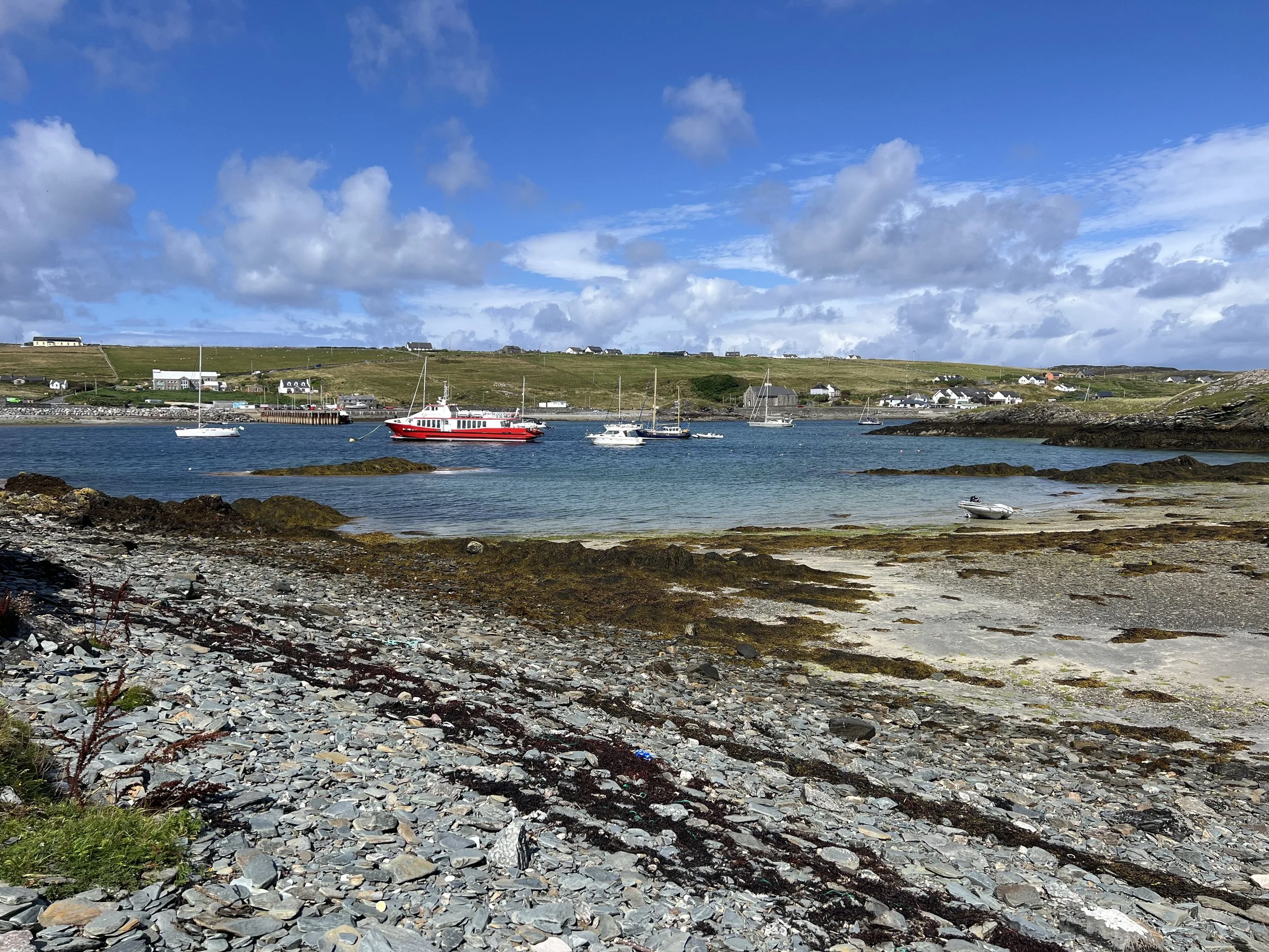
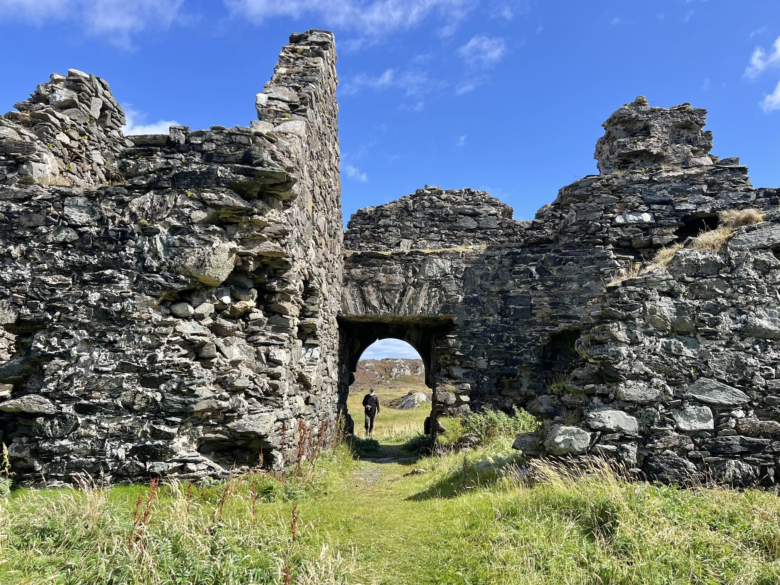
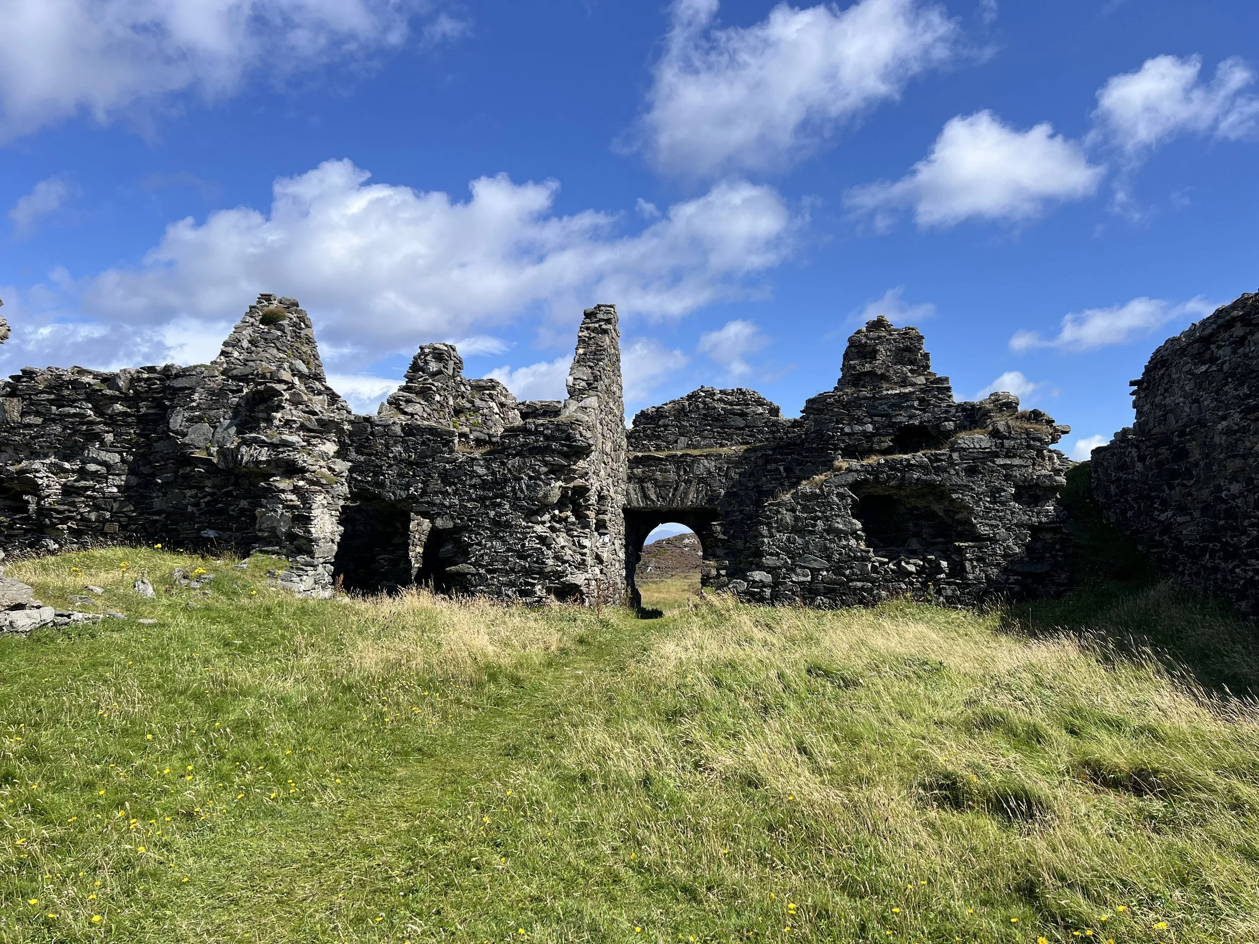
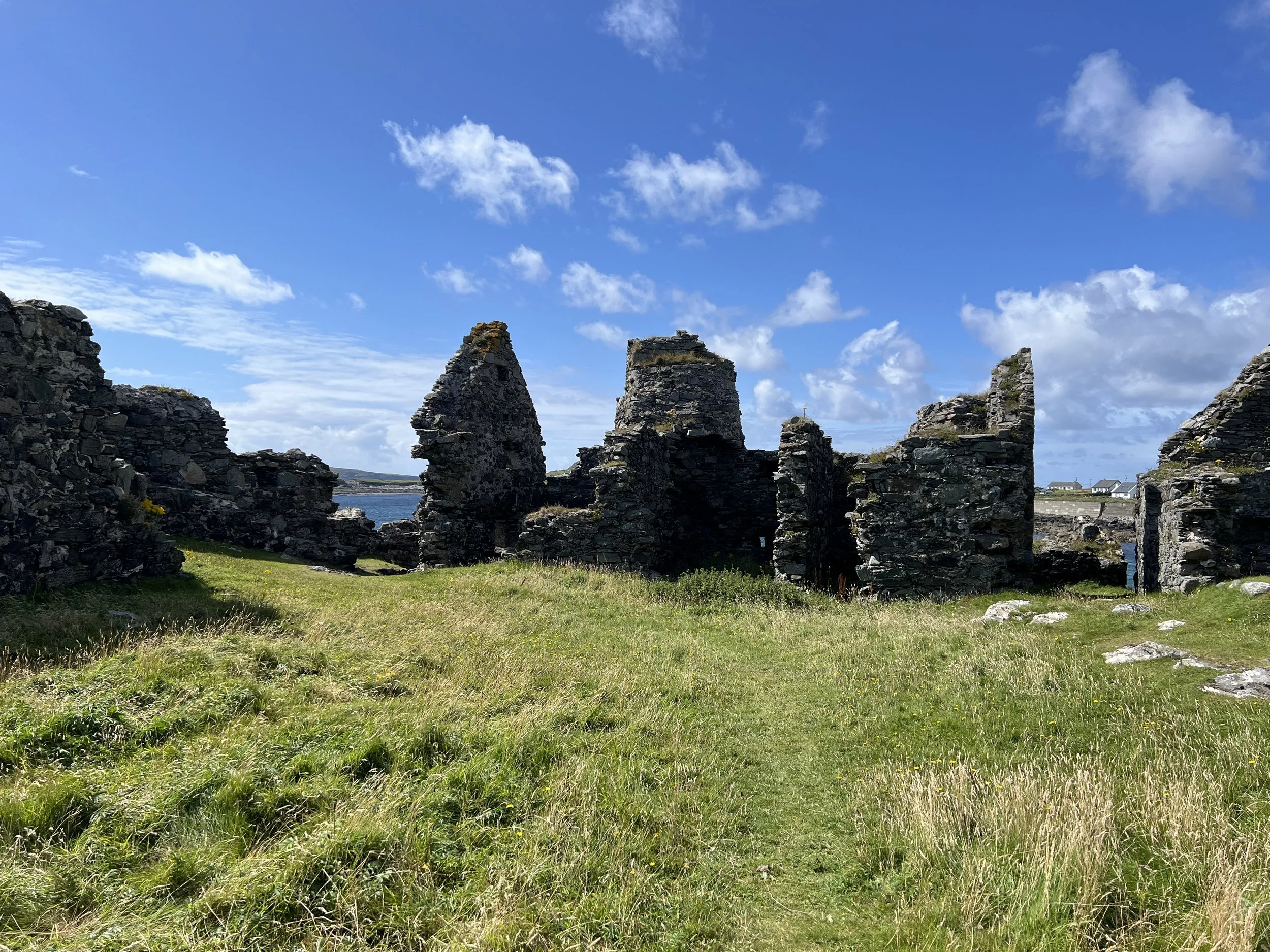
That afternoon we took the dinghy over to Cromwell’s Fort and checked out the ruins. You could tell it was built in a hurry, to serve its purpose of incarcerating intransigent priests, the walls were roughly thrown together. It is surprising therefore that as much remains as it does. Probably because the walls are 3 feet thick.
The next day we extracted ourselves from the pier and Seamogs (they had successfully retrieved their anchor), and sailed north. We arrived in the harbor of Clare Island, which stands at the entrance to Clew Bay.
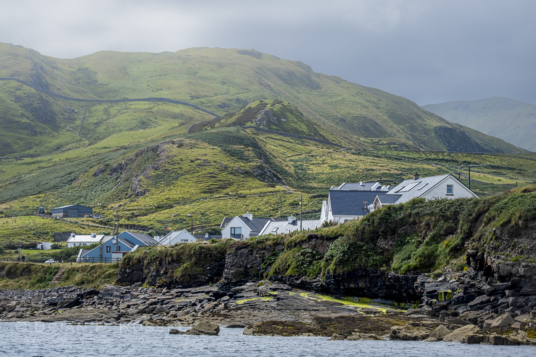
Clare Island.
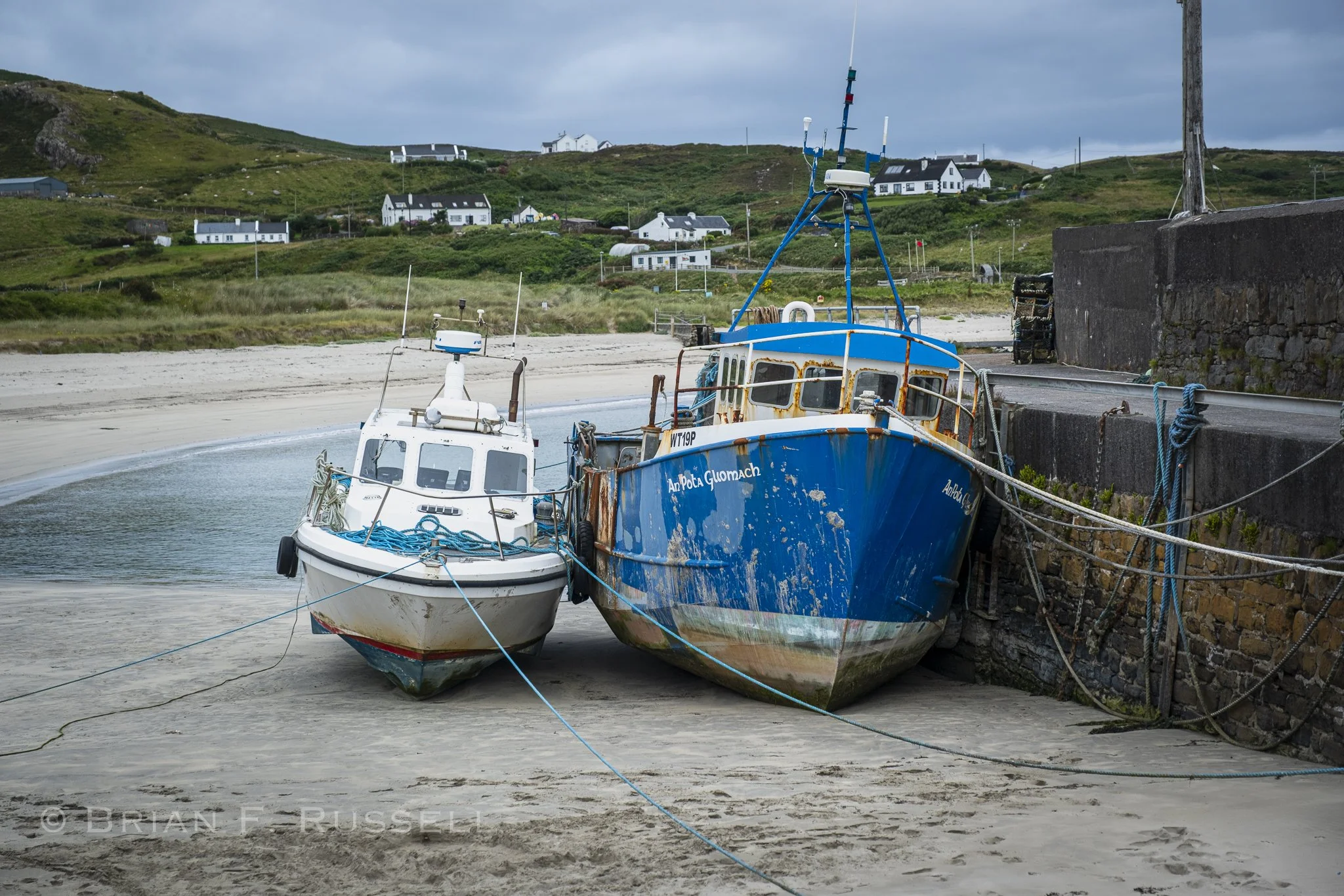
We have to anchor in deep water to prevent this happening to us.
Clare Island was the home to Granuaile, a 16th century clan leader (also known as Gráinne O’Malley the pirate queen). Her tower house still stands near the harbor and it is rumored she is buried at the medieval abbey which has some wonderful wall paintings inside.
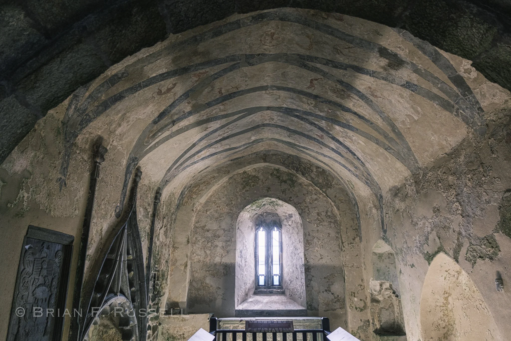
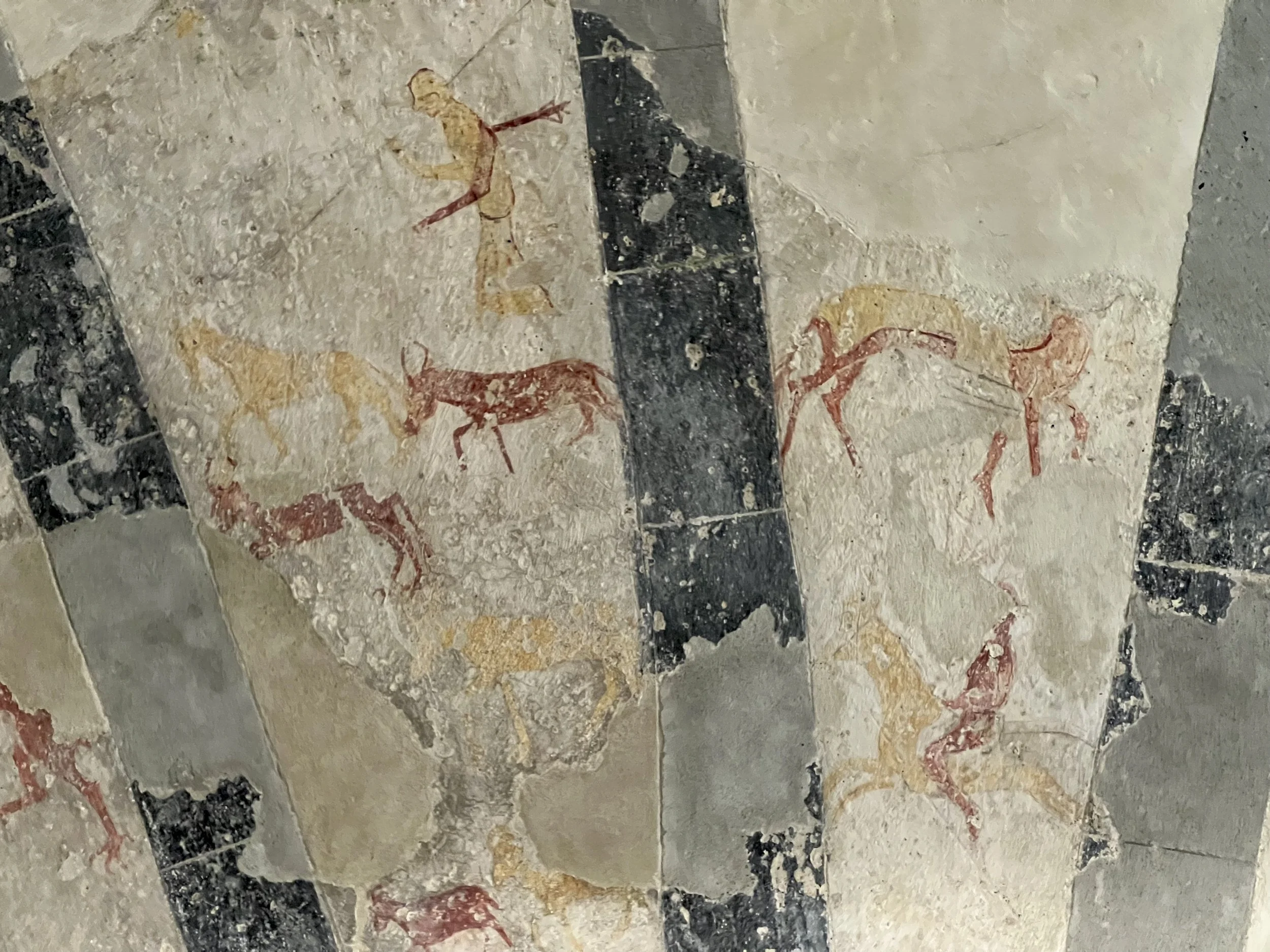
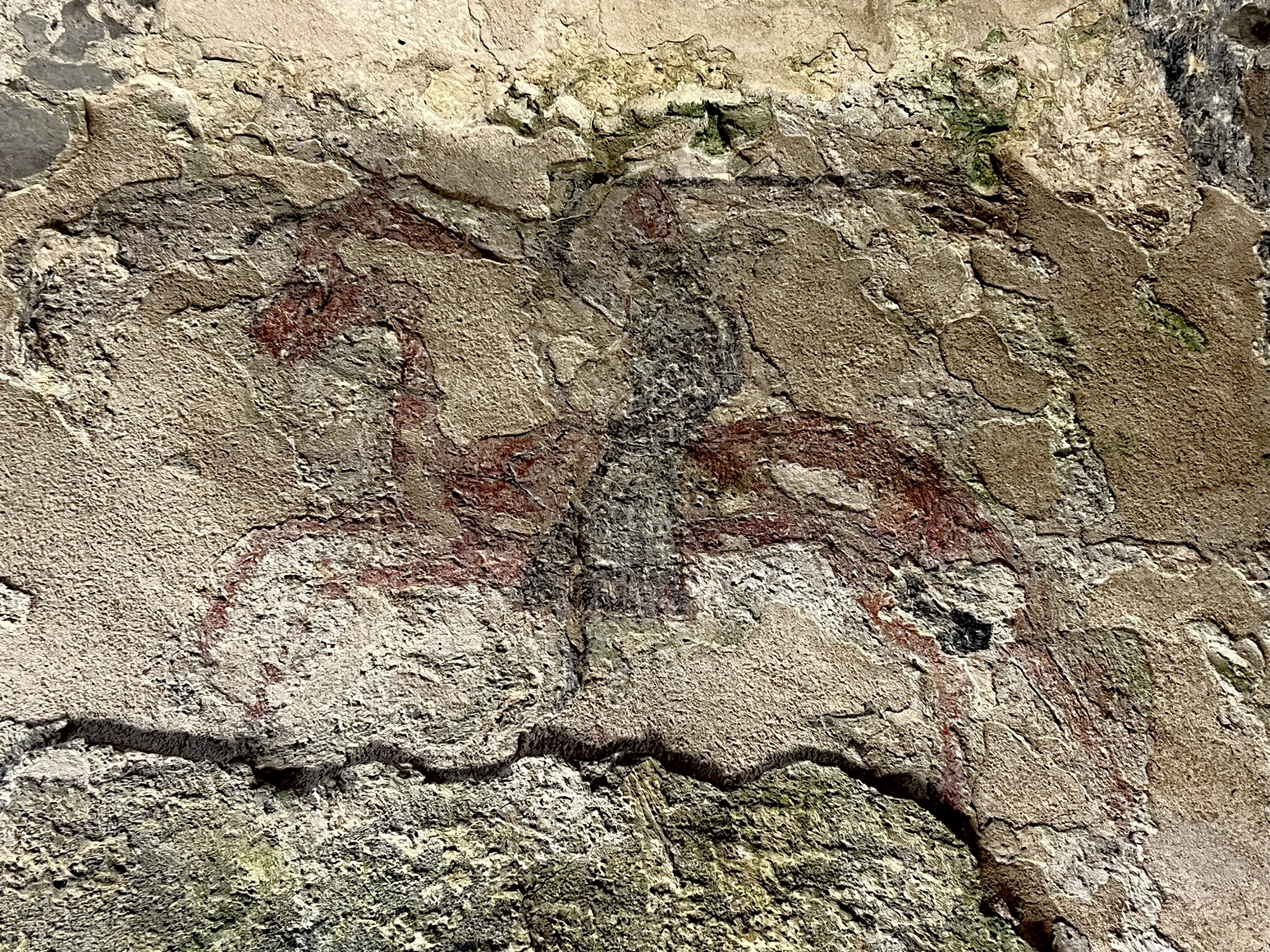
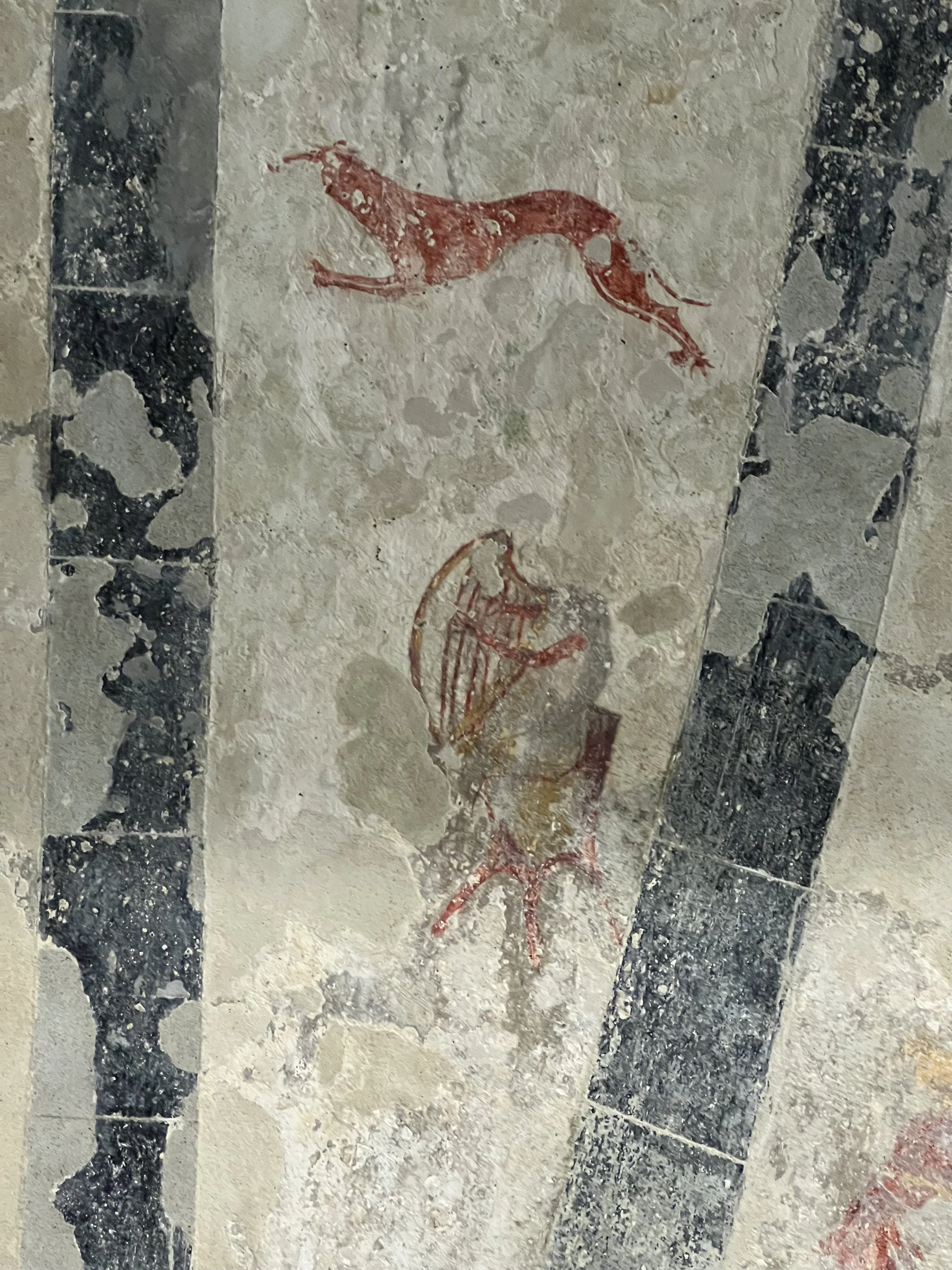
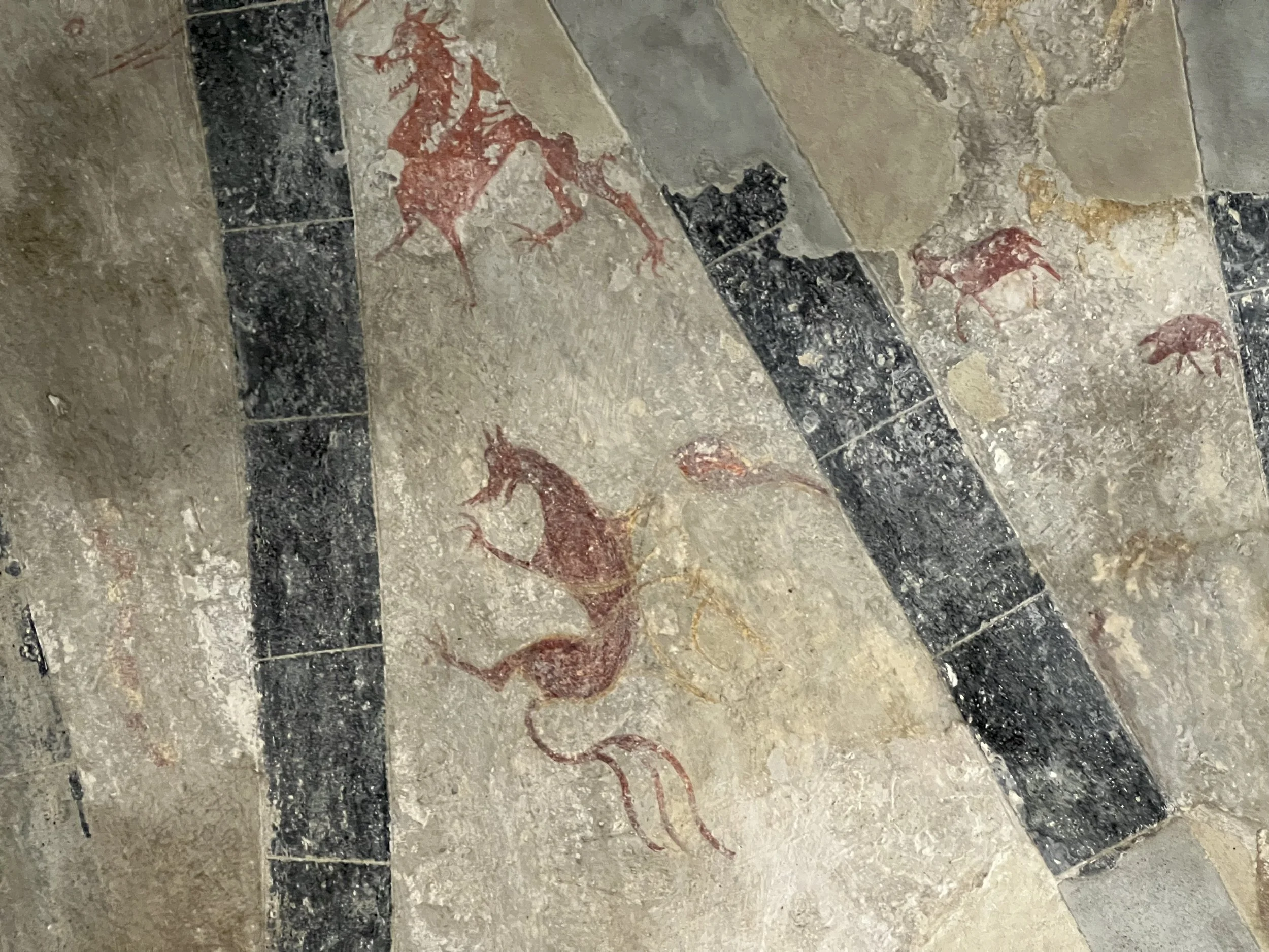
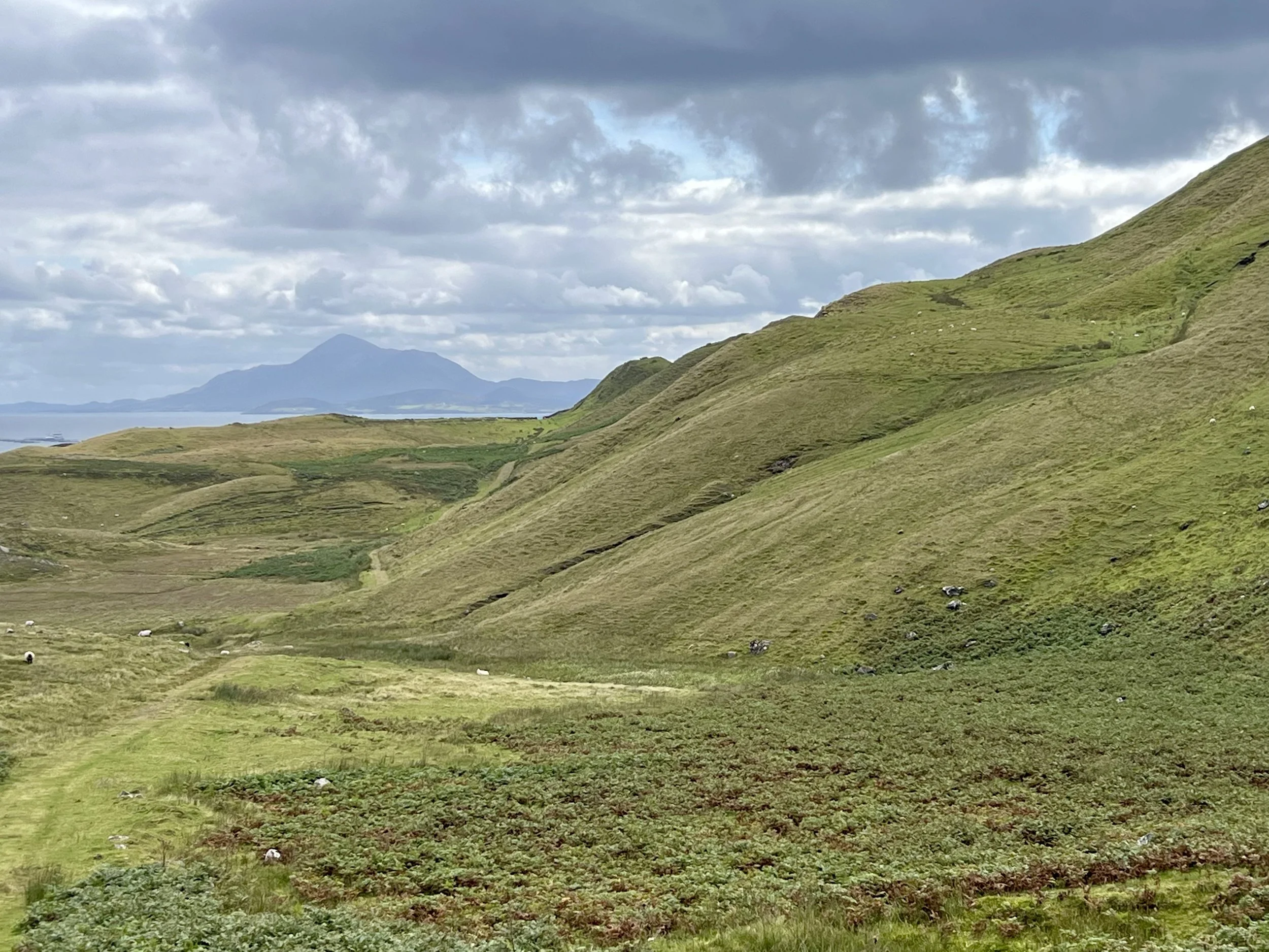
We had a lovely hike over the hills with views down Clew Bay.
That afternoon we pulled up the anchor and sailed east to the head of Clew Bay where a maze of small islands would give us good protection from the unpleasant weather the following day. We reached out to Alex and Daria, OCC port officers for the area, and asked for help to do a big grocery run. The town of Westport is the largest town we will come across until we get to Belfast, so it was a good opportunity to really stock up. Thank you so much for your help, Alex.
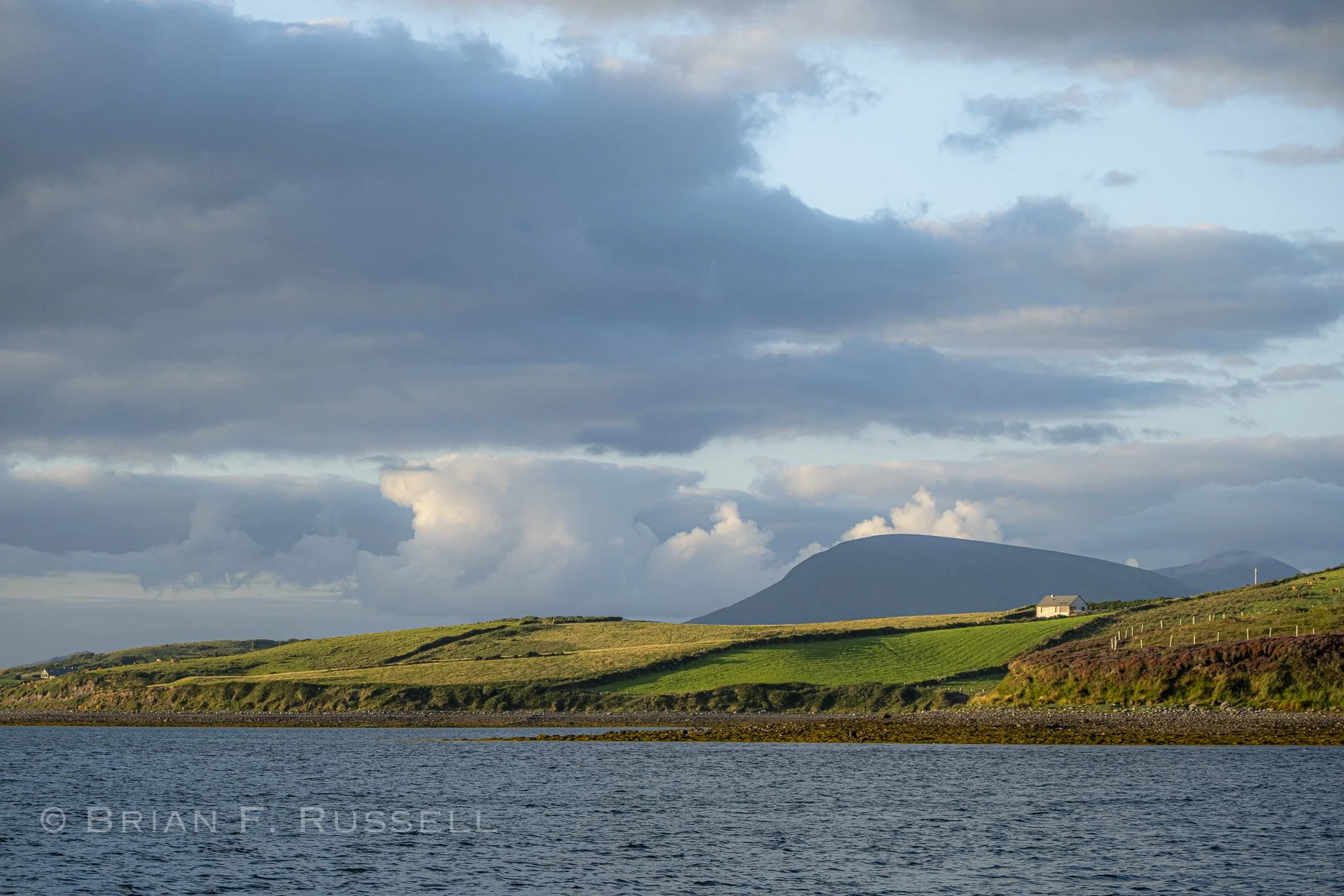
The view from our anchorage.
After the rain had passed, the sun came out and we could see the object of the following days activity. Croagh Patrick, an imposing mountain on the south shore of the bay. It is considered a holy mountain and is a major pilgrimage site for the thousands that visit.
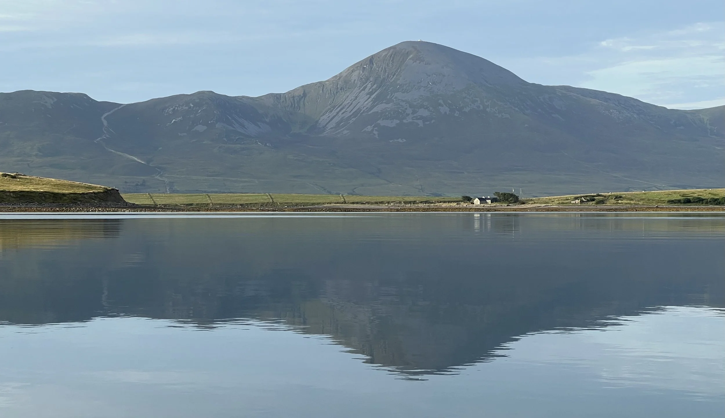
Croagh Patrick.
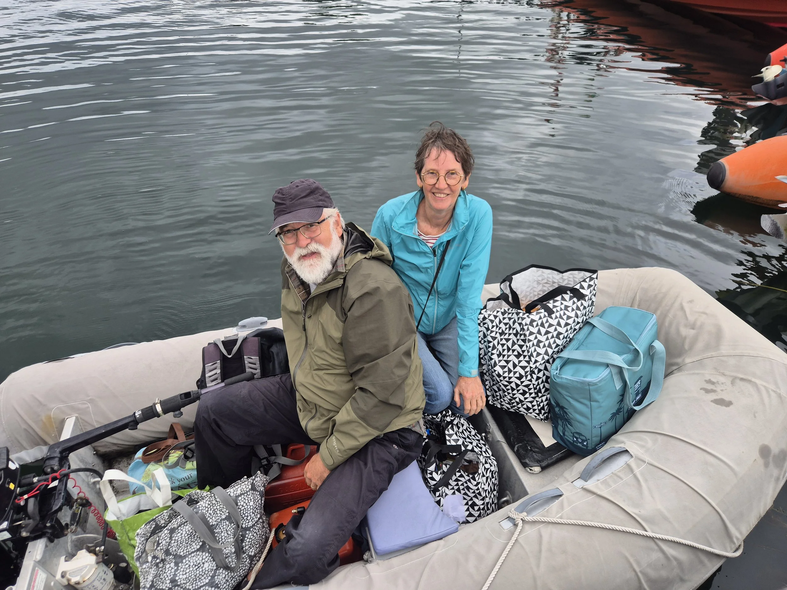
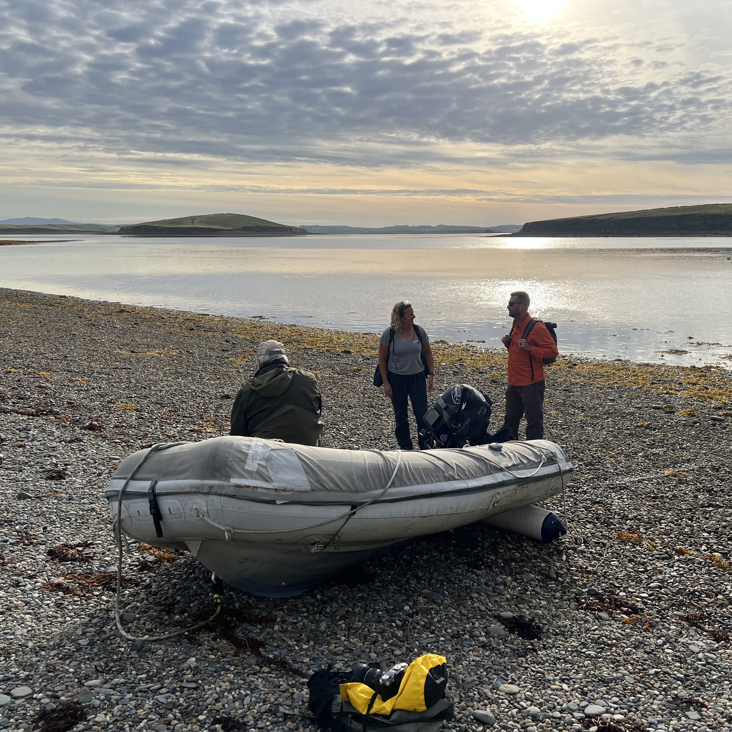
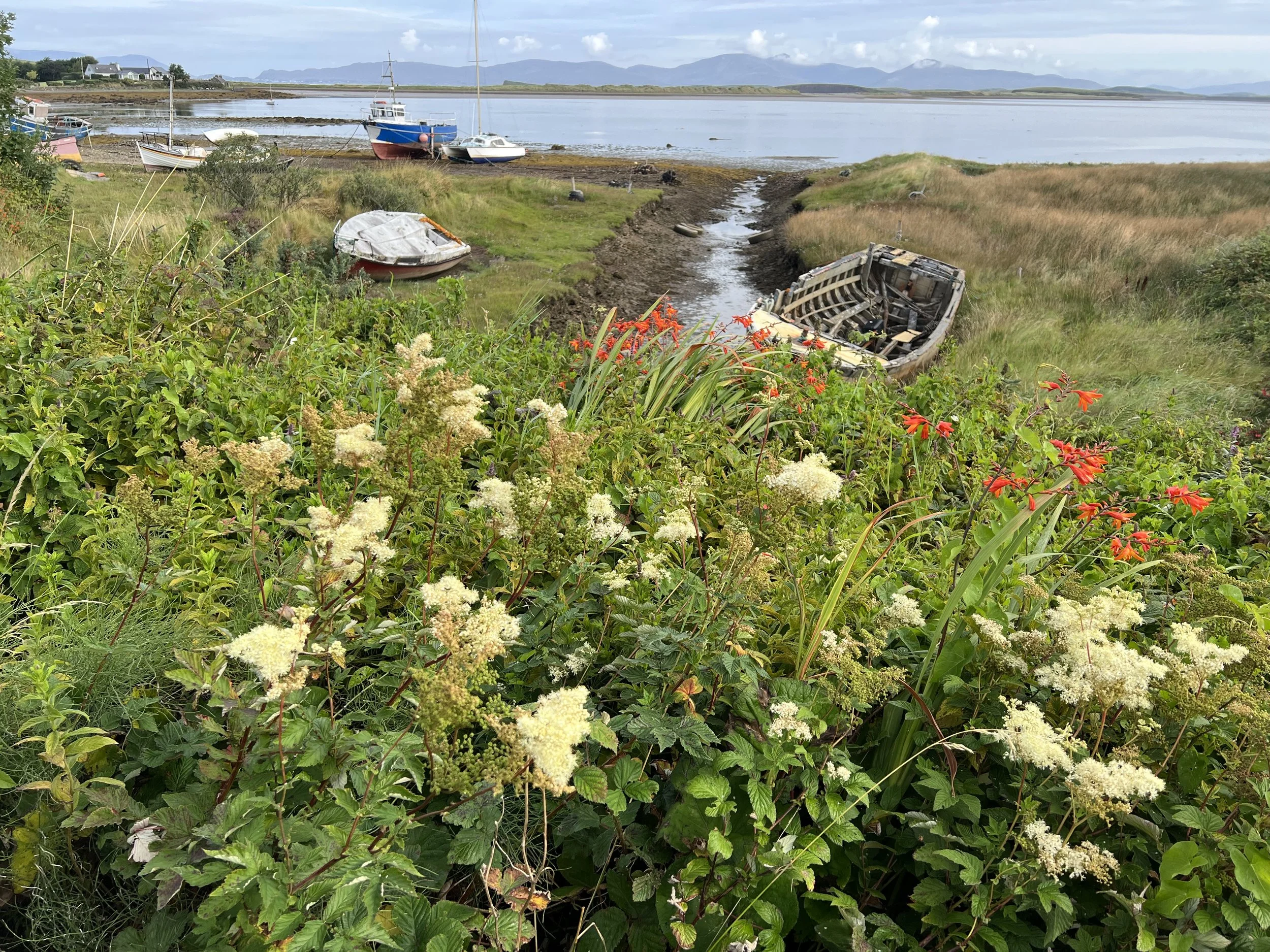
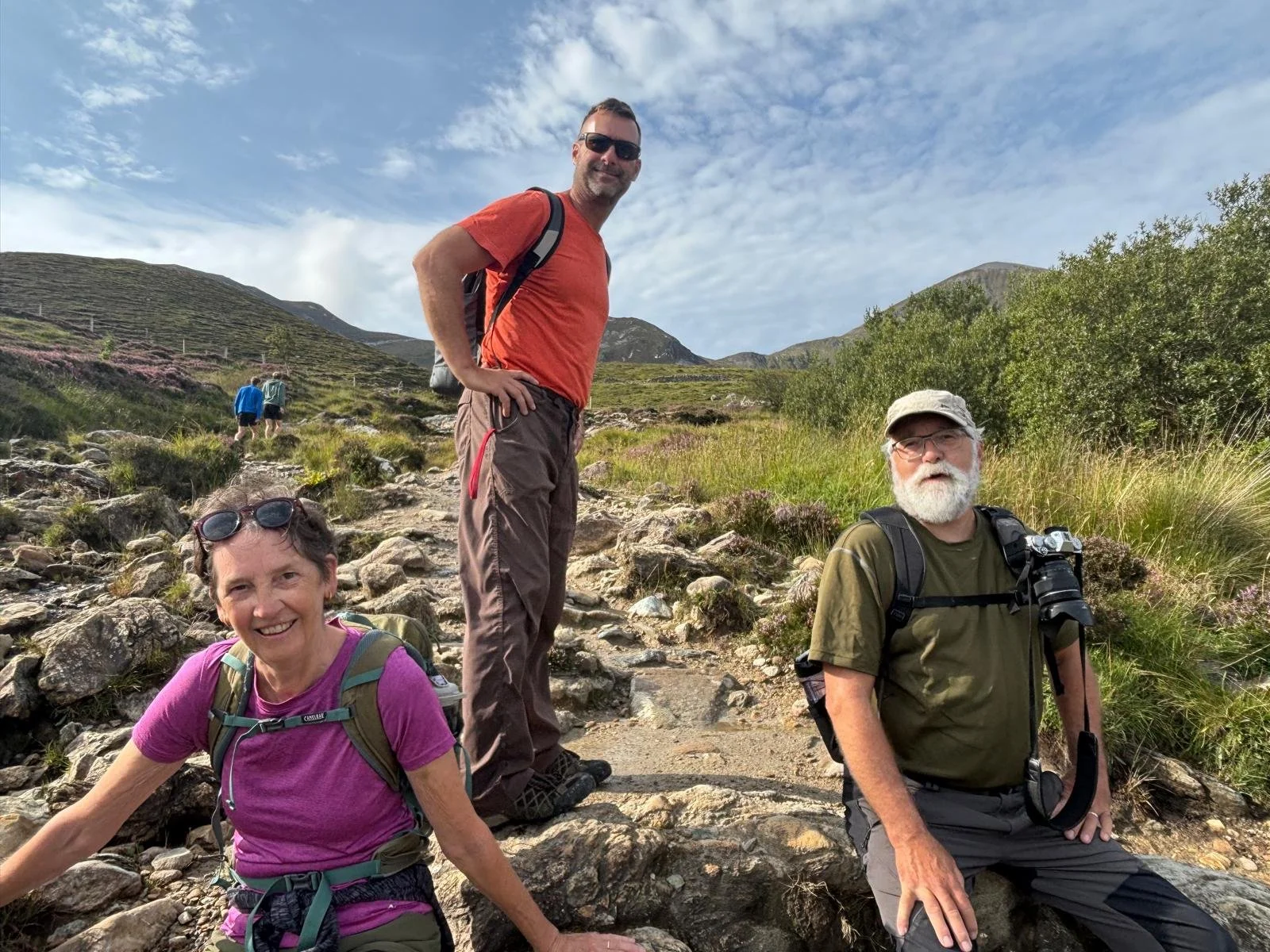
We set off at 7am the following morning, picked up Chrystie and Ken and beached the dinghy. It was then a couple of miles to get the start of the climb. The instructions for the observant pilgrims were amusing to me, I can’t say I saw anyone performing these rituals.
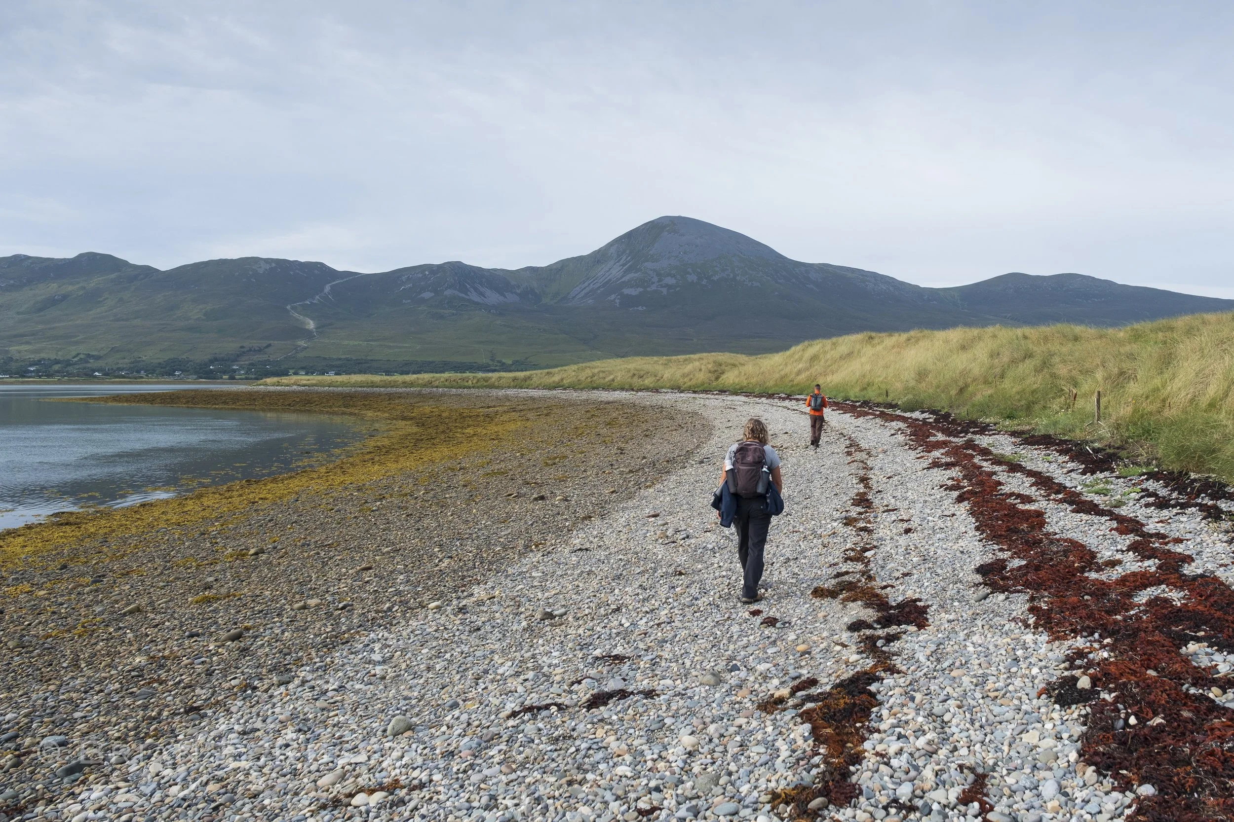
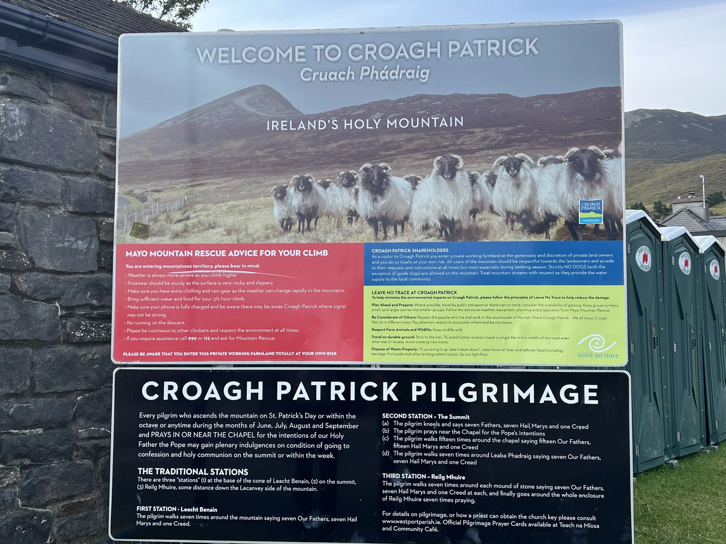
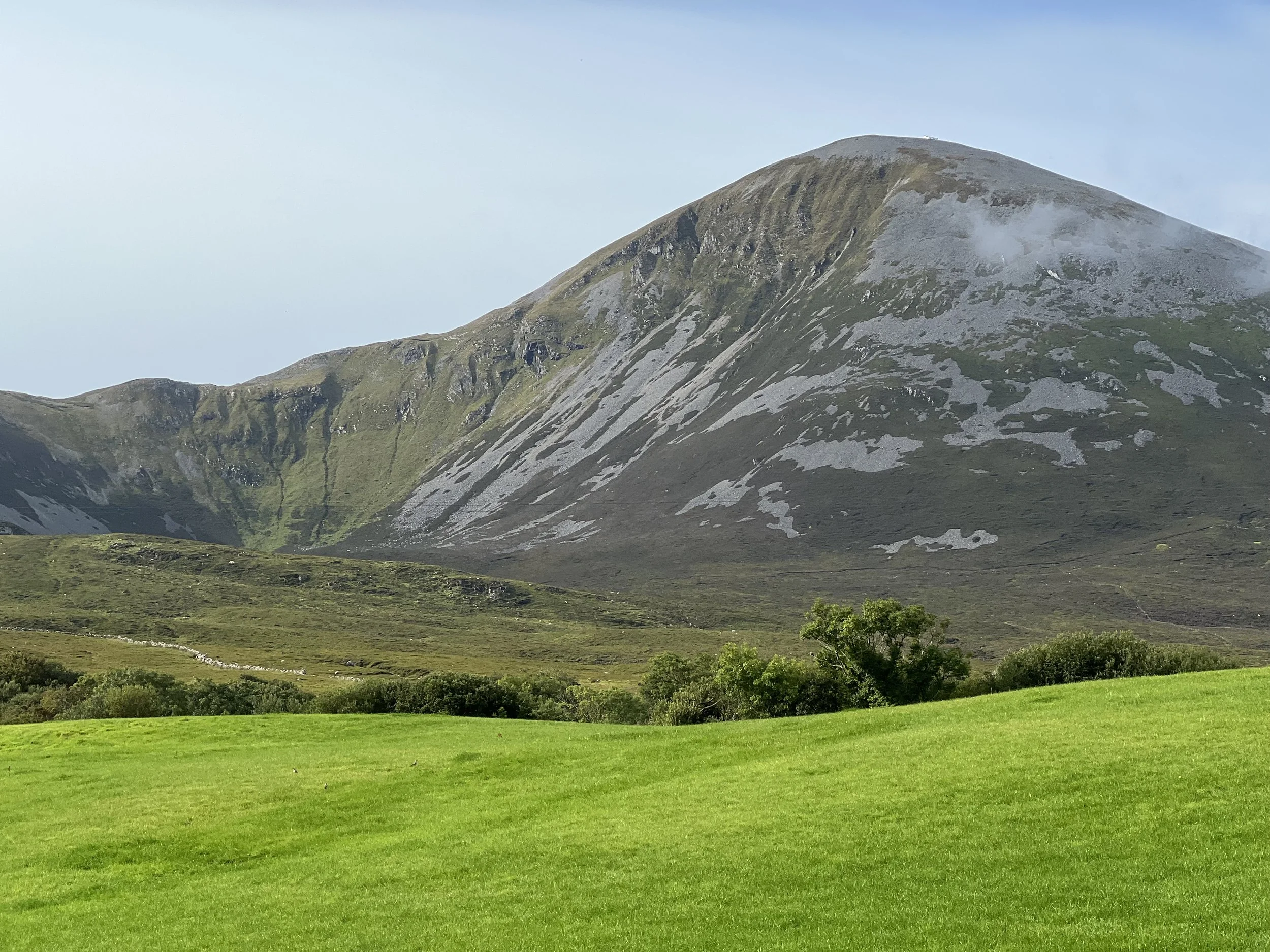
Quite intimidating, and apparently unusual to be able to see the top.
Well we all set off with the best of intentions, but I have to confess, Ken and Chrystie were the only ones in our party who made it the whole way.
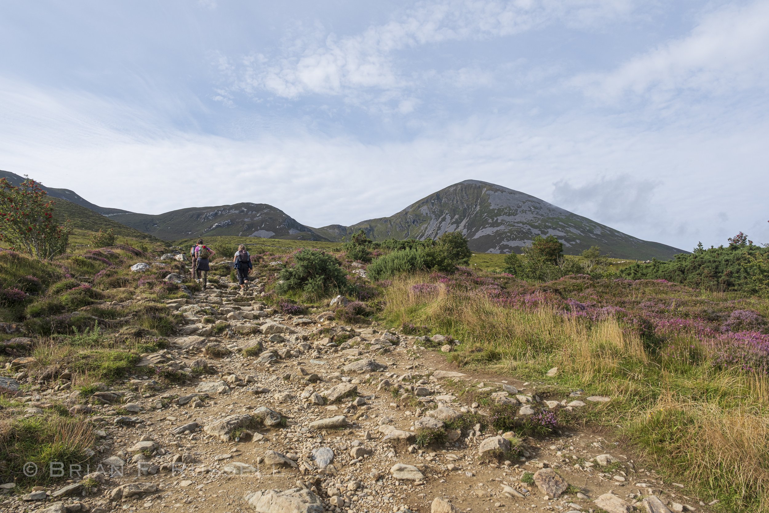
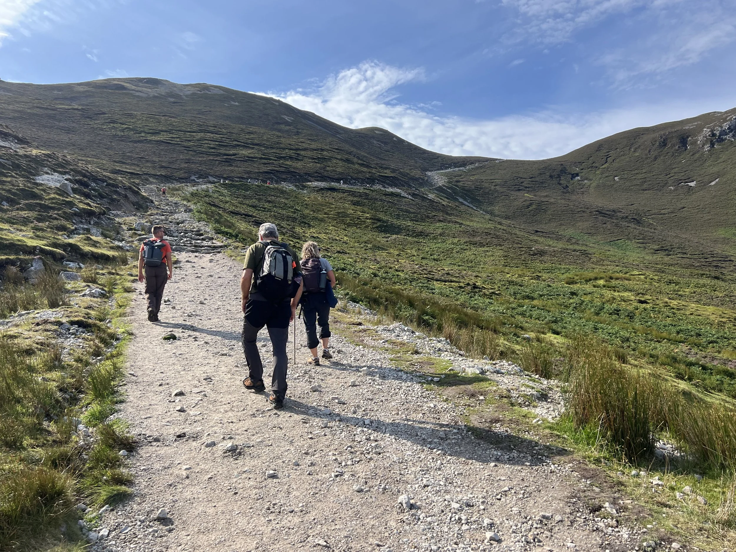
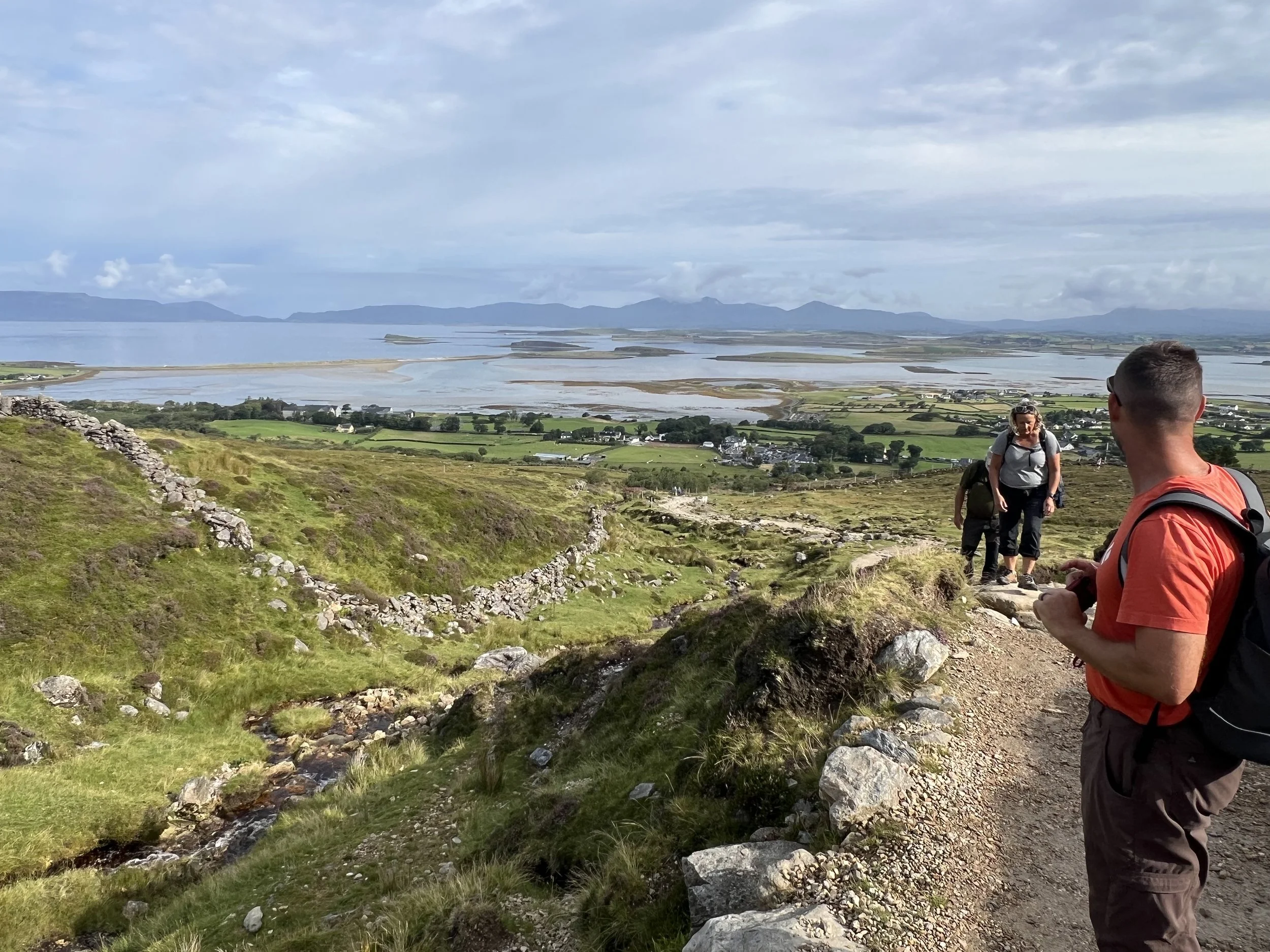
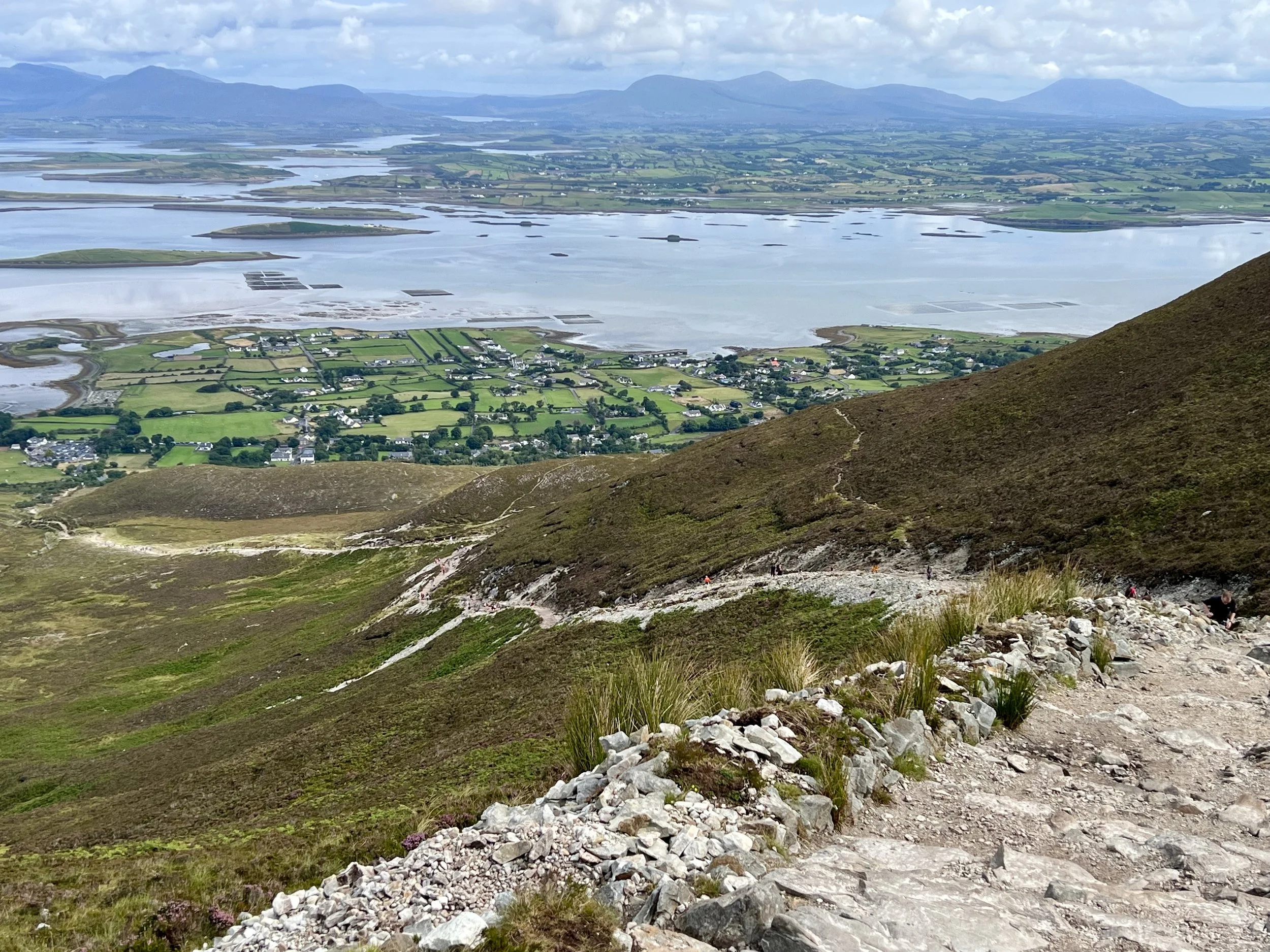
The views down toward our anchorage, among the islands, were spectacular.
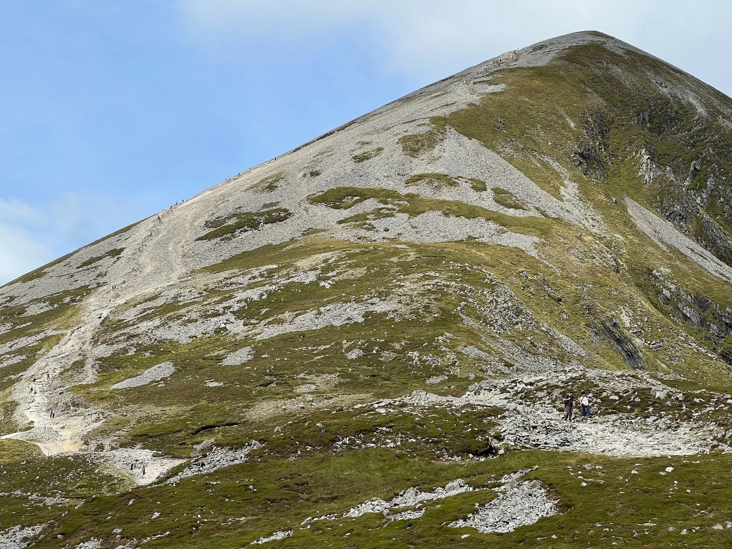
But that next section? My knees are just not what they used to be.
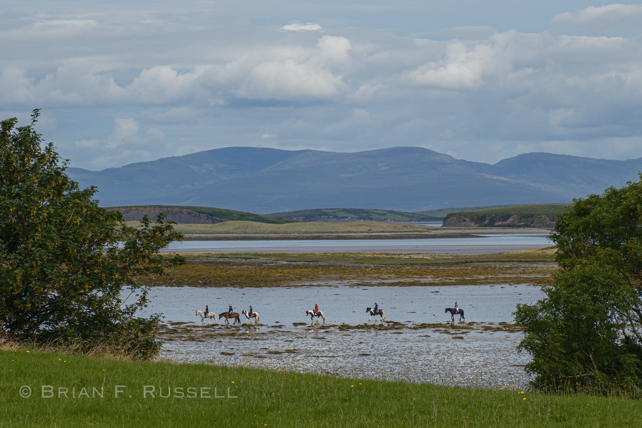
No shame, we had a wonderful hike, and will live to walk again. The bonus was that on the way down we passed the Sam Maguire Cup, a large Gaelic football trophy, which was being carried up the mountain. There had recently been a final match between Co. Kerry and Co. Mayo teams, a very competitive game. Co Mayo won, for the first time in 75 years, the curse that had been cast upon the team was finally lifted. To celebrate the team were taking the Sam Maguire all around the county, to share it with the fans. We had seen in the local news that we had just missed in on Inishbofin and Clare Island. Well here it was, I was not going to let it pass me by.
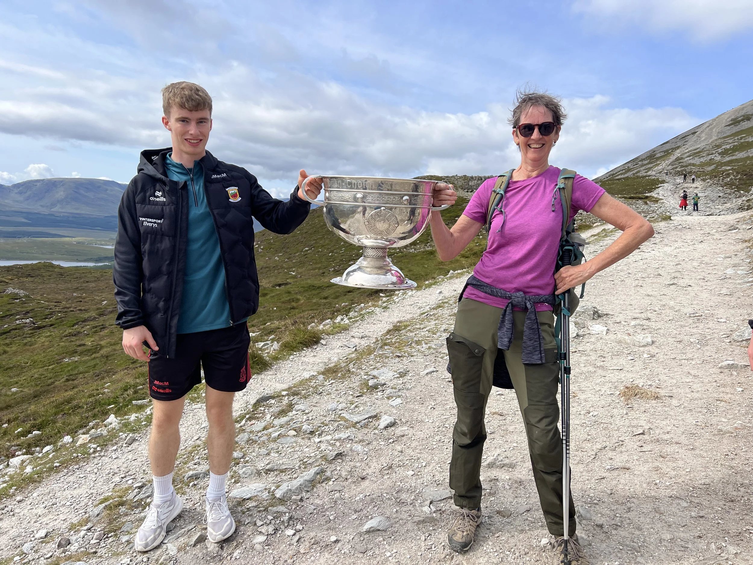
It was quite heavy.
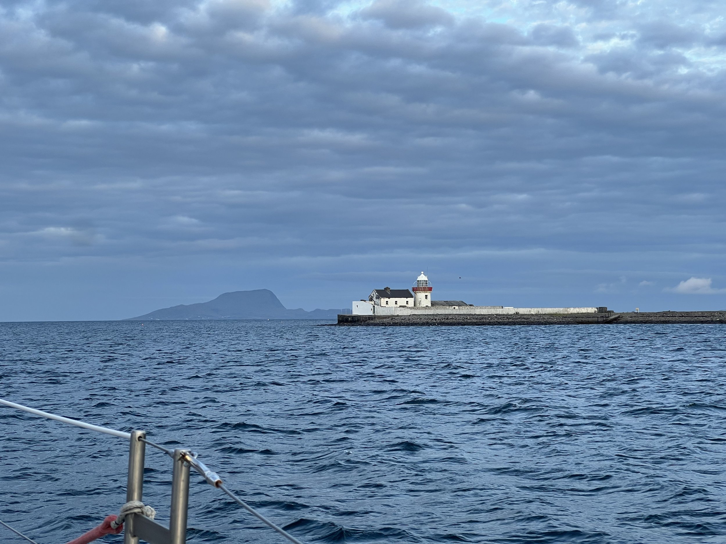
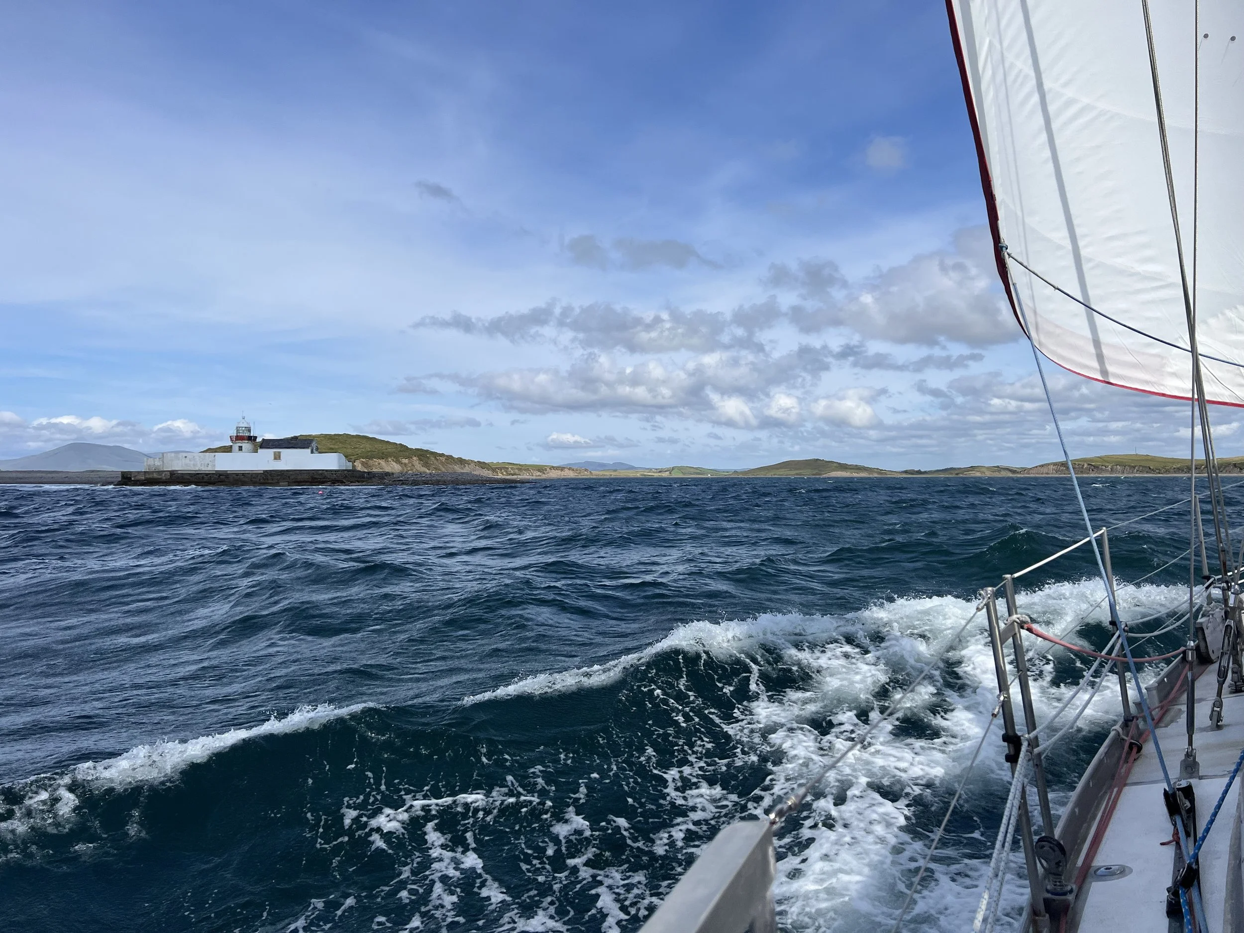
Leaving Clew Bay, Clare Island in the distance.
The following day we left the shelter of Clew bay and out to the open sea again to round Achill Head. The imposing cliffs along this shore are the highest in Ireland.
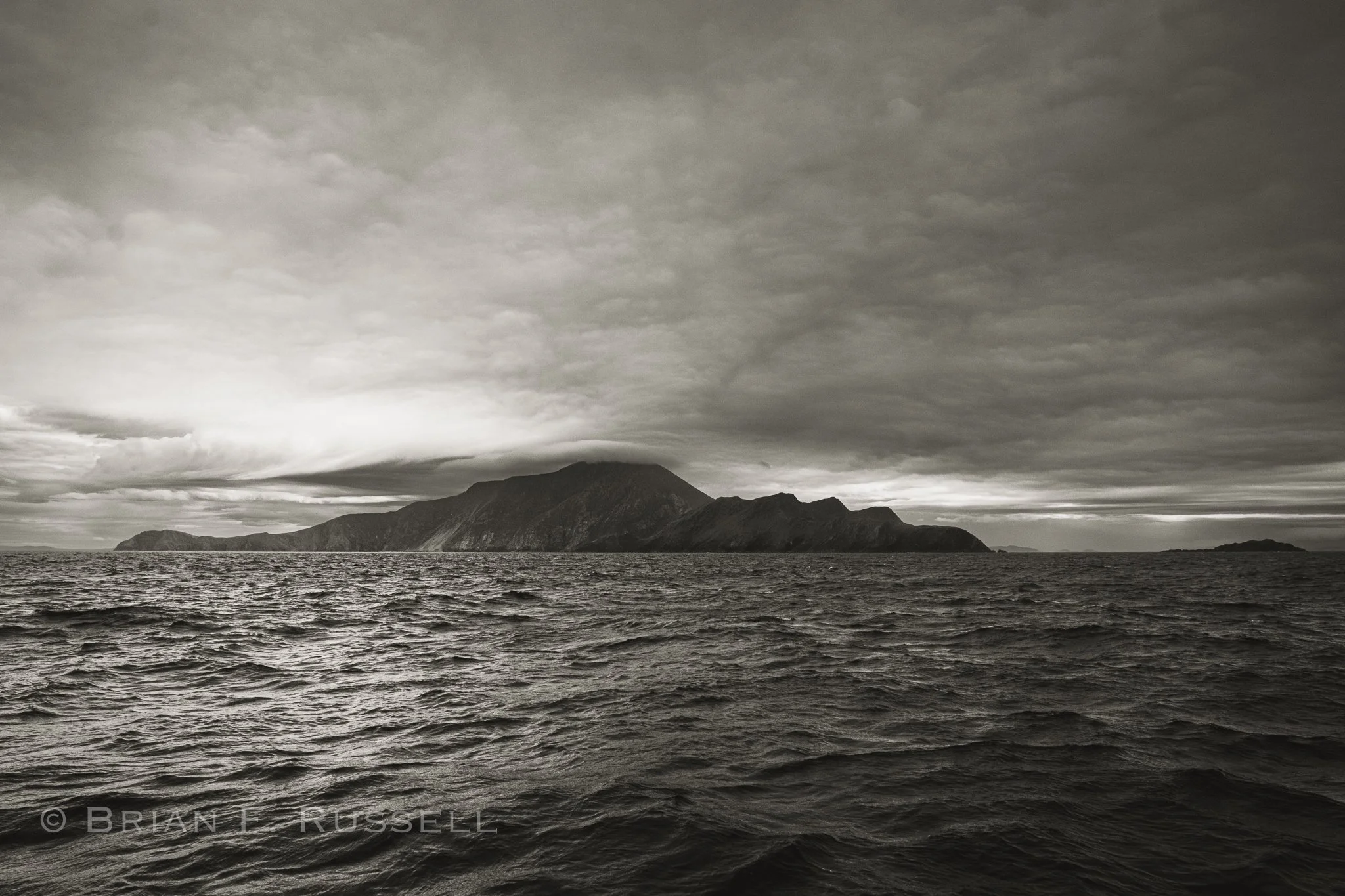
Achill Head.
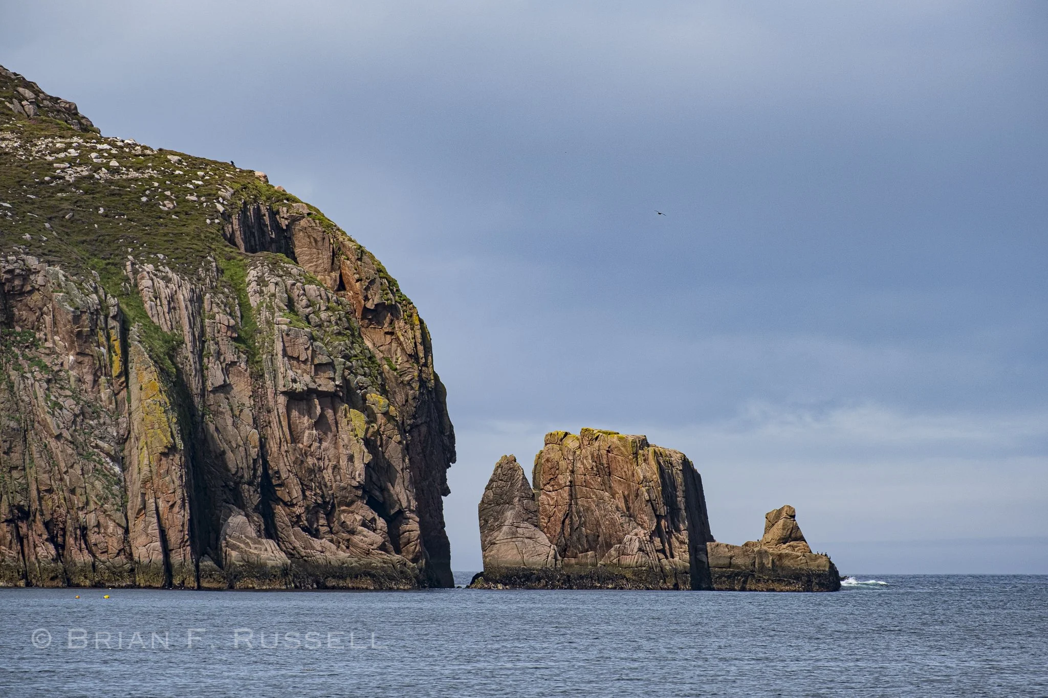
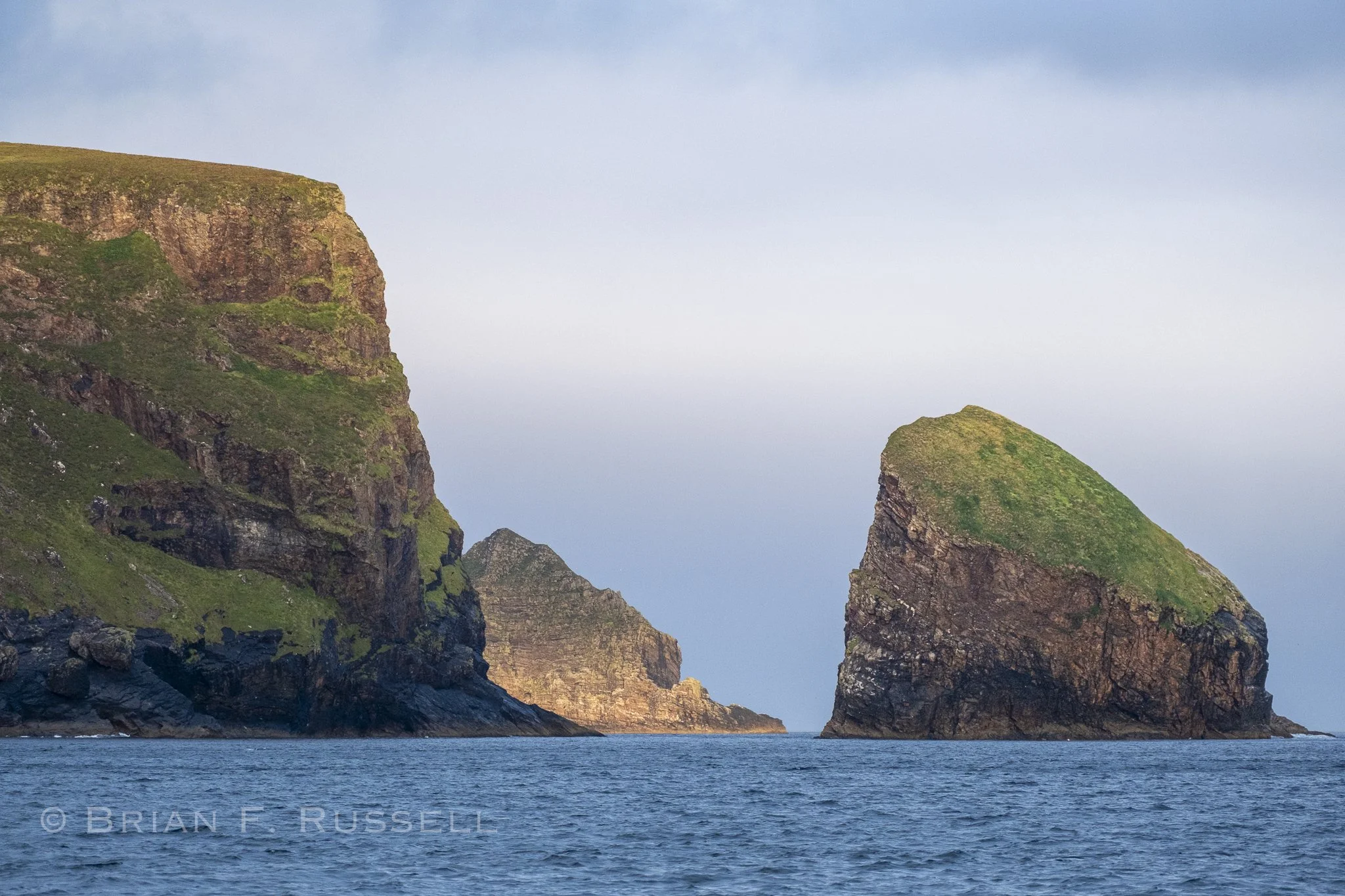
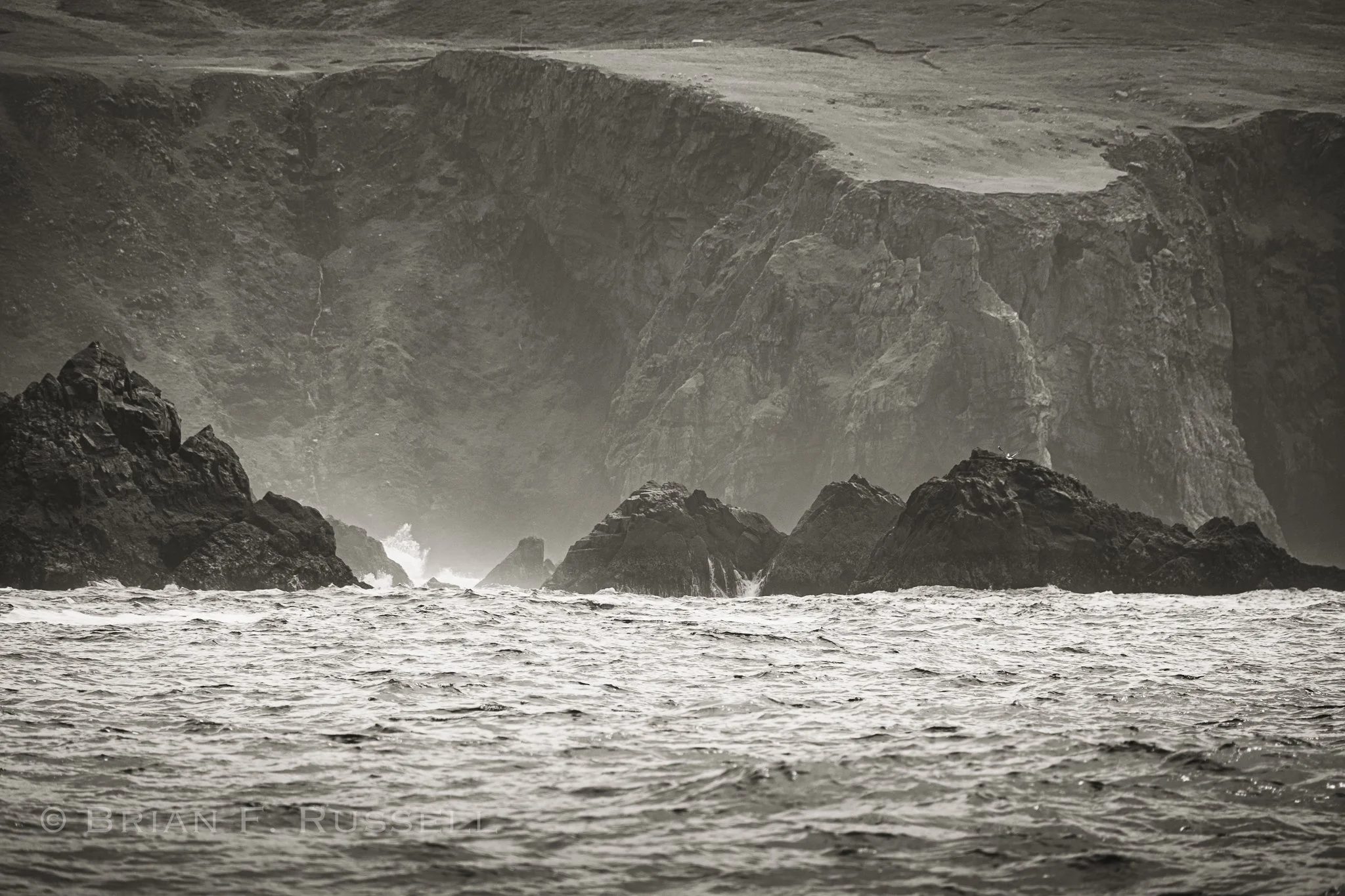
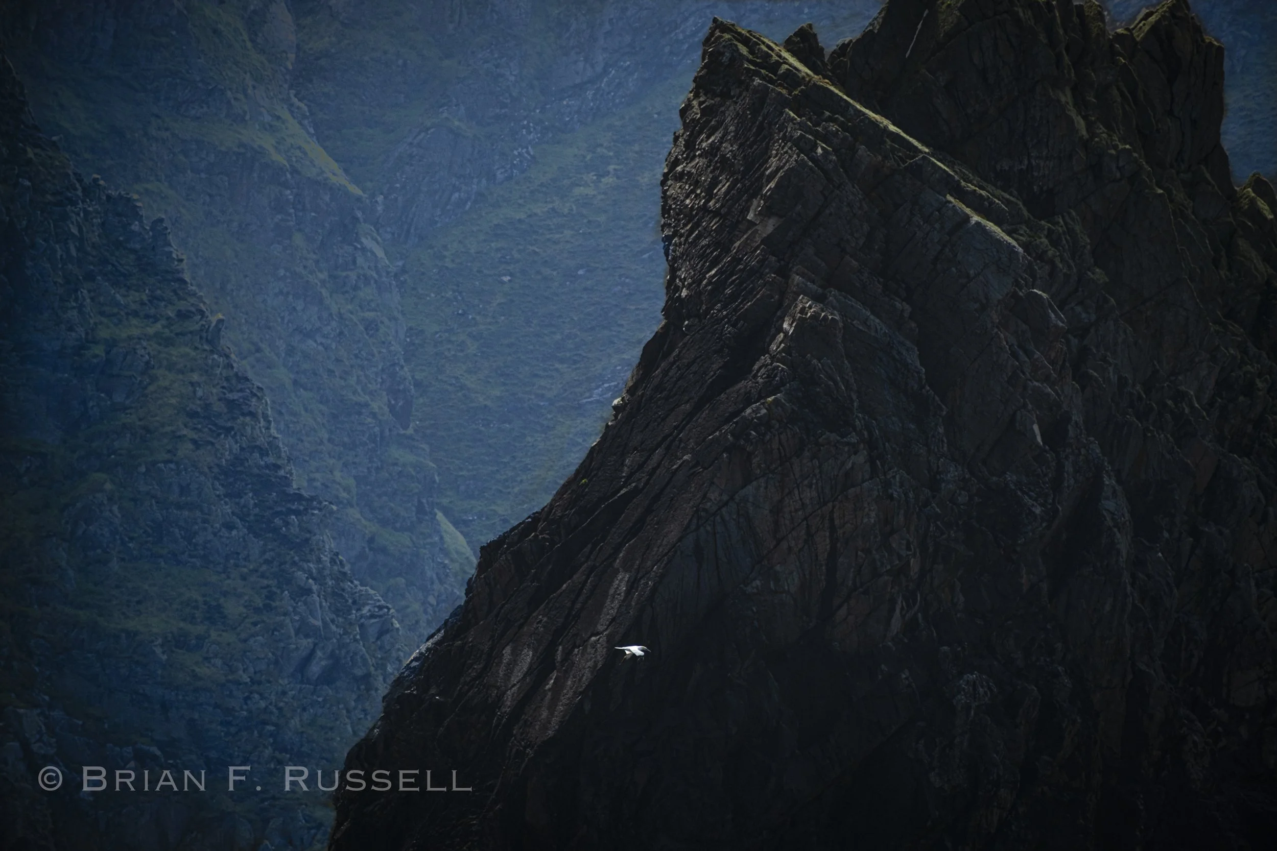
After a brief stop at the island of Gola on the north western tip of Ireland, we planned our next passage with care. It was quite a long distance and we had two significant headlands to pass. We had to get the tides right and use the good west wind to travel as far as we could. The first, ominously named Bloody Foreland, overlooked the race that extends between the mainland and Tory Island.
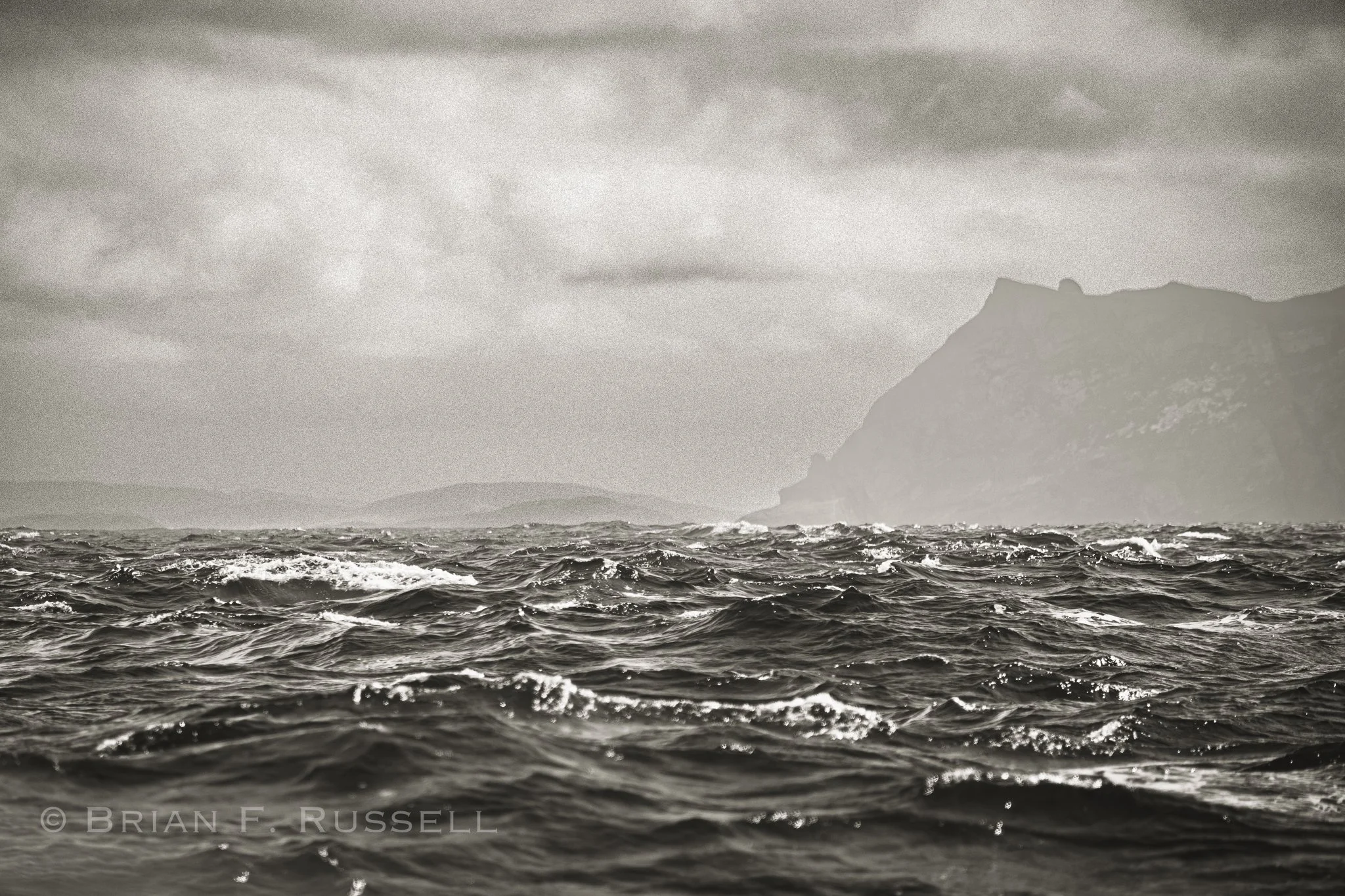
Passing Bloody Foreland.
It was fast and a little furious, but we passed by quickly. On to Malin Head, the northernmost point of mainland Ireland. Despite the wind fading, we managed to time the tides perfectly and rounded in calm waters. We spent a night in a roadstead anchorage, with no protection from the swell and quickly moved on the next morning to visit Rathlin Island. Here we welcomed a few days tied to a dock, the first time in about 3 weeks.
We were no longer in Europe, but in Northern Ireland, part of the UK. We completed all the formalities and raised the Union Jack. Rathlin Island is just off the north eastern corner of Northern Ireland; just north is the Scotish Mull of Kintyre. It was a quiet, small marina, until the Saturday night boats started to arrive.
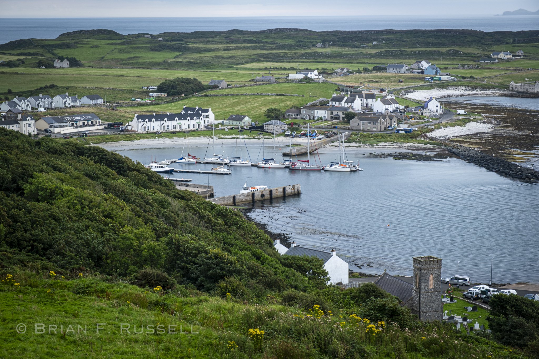
Rathlin Harbor
There was some sort of rally that motor boats were taking part in; leave Northern Ireland in the morning, lunch in Islay, happy hour in Rathlin and back home for dinner. For a few hours they were rafted 5 deep, and then they all left.
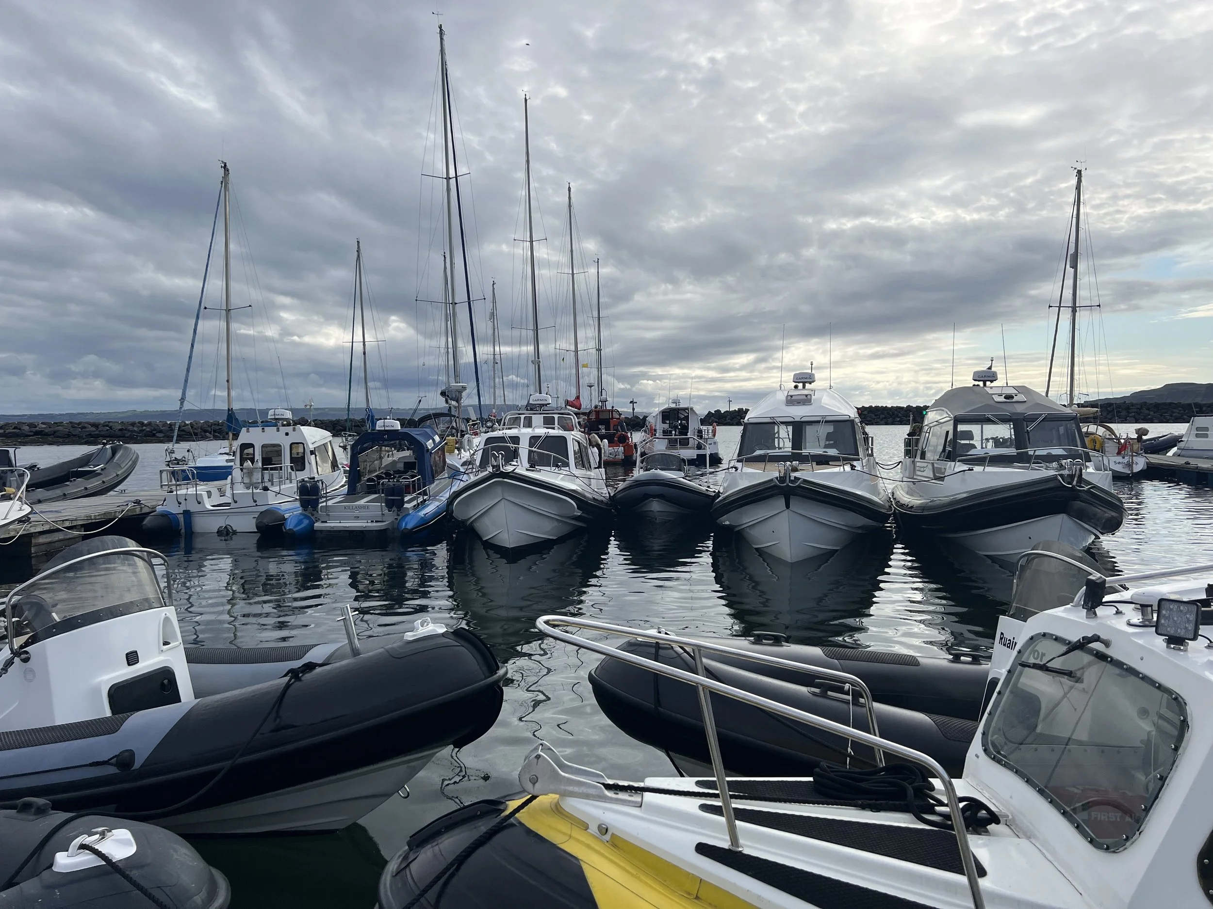
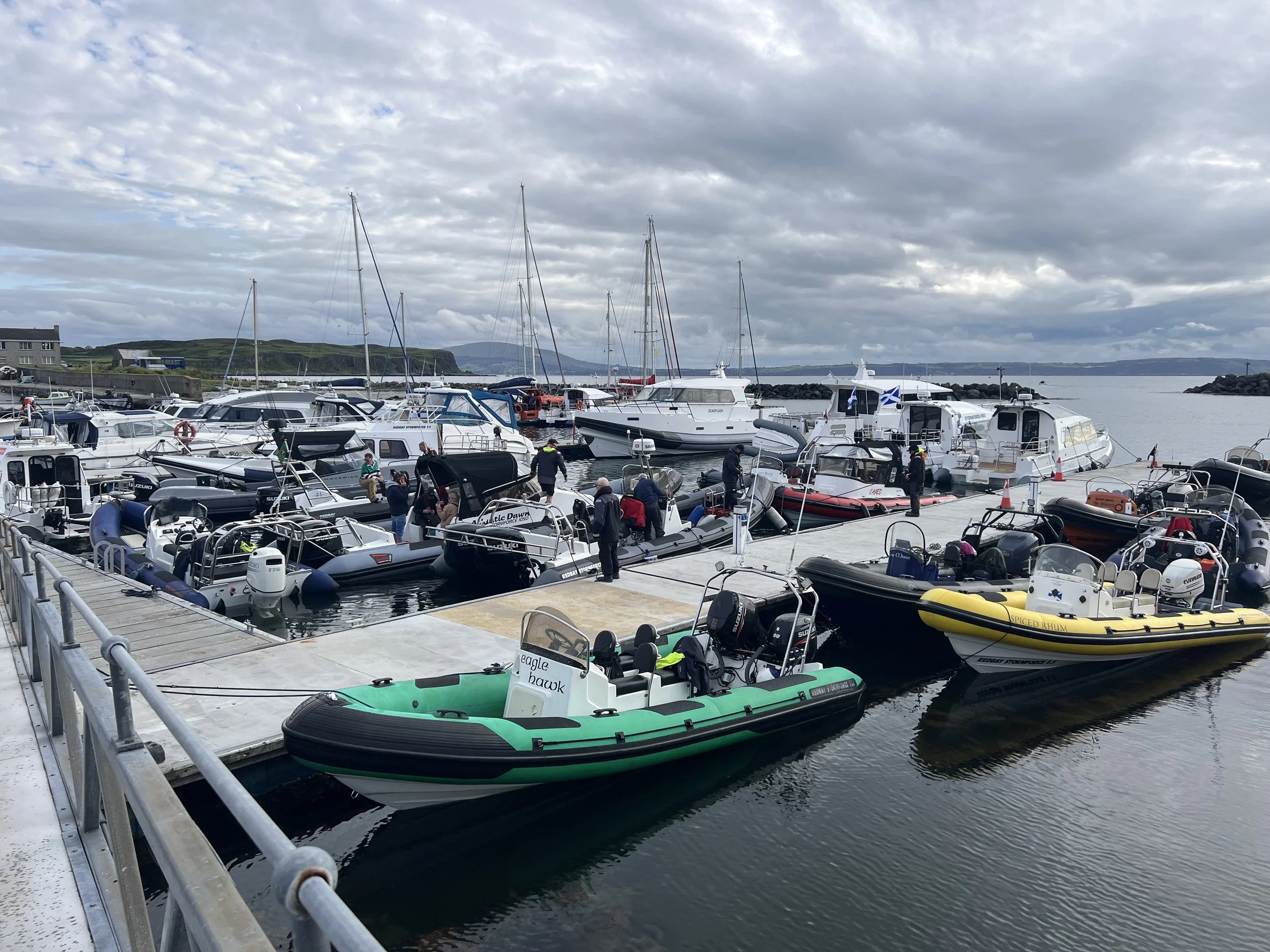
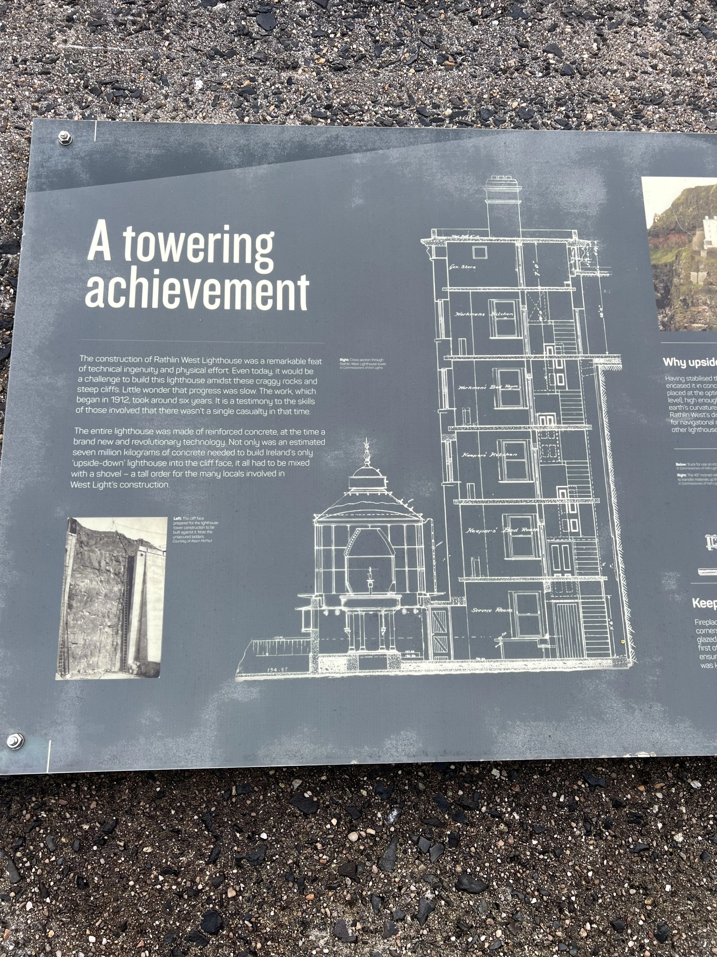
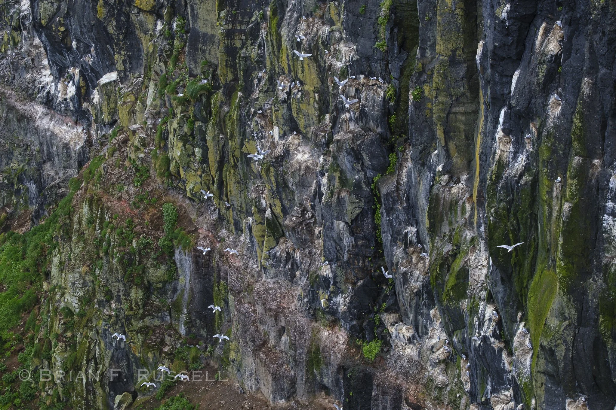
On the western tip of Rathlin there is an '“upside-down” lighthouse and a seabird colony on the cliff rocks. We caught the first bus in the morning and visited the RSPB West Light Seabird Centre.
First, the lighthouse. It is interesting for a number of reasons, the main one is the light is below the main structure. Due to the frequent fog on the top of the cliff, they wanted the light high enough (67m from sea level) to be seen, but not be obscured by the fog. The second unique feature is the red light, more visible in foggy conditions.
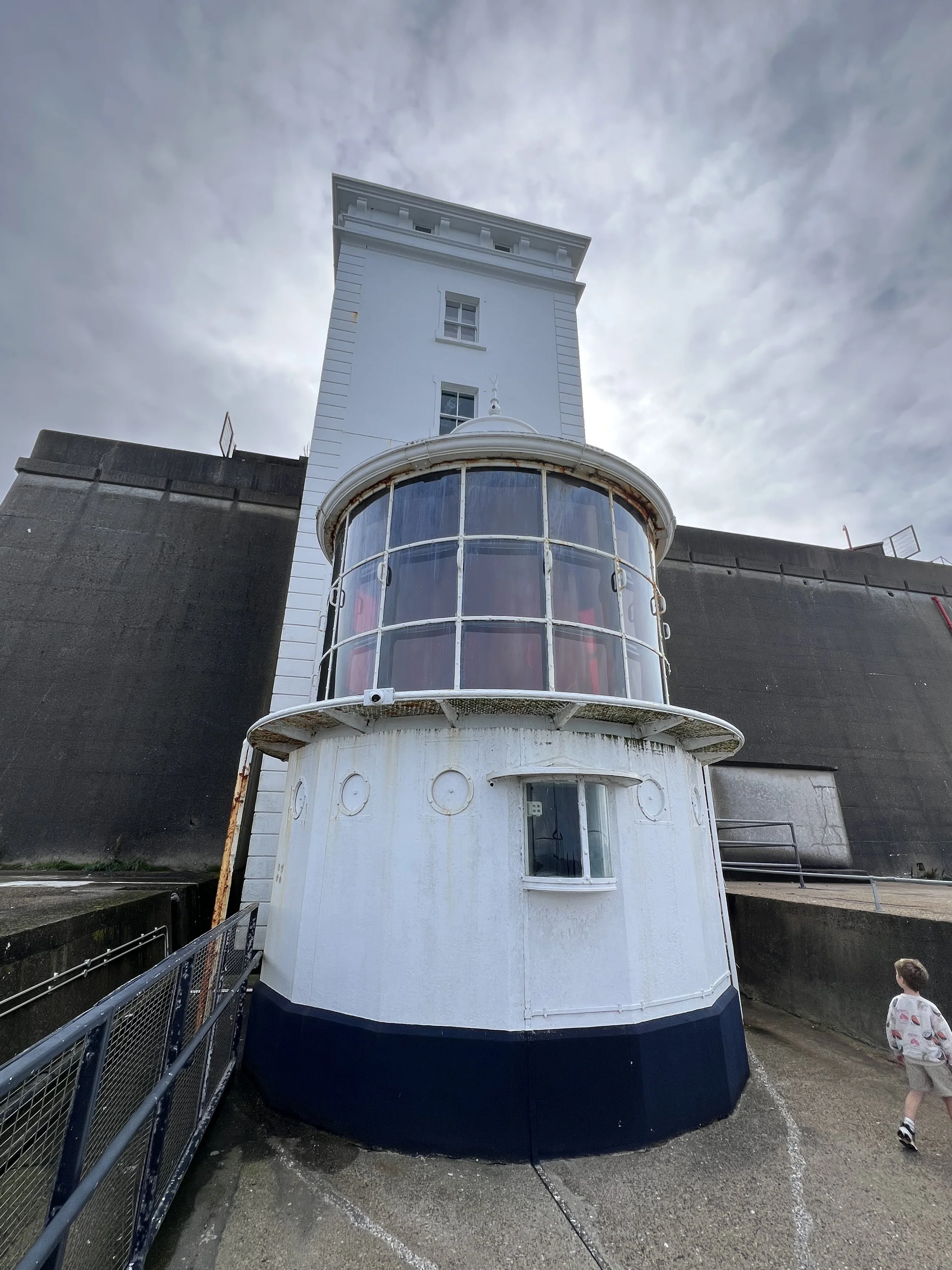
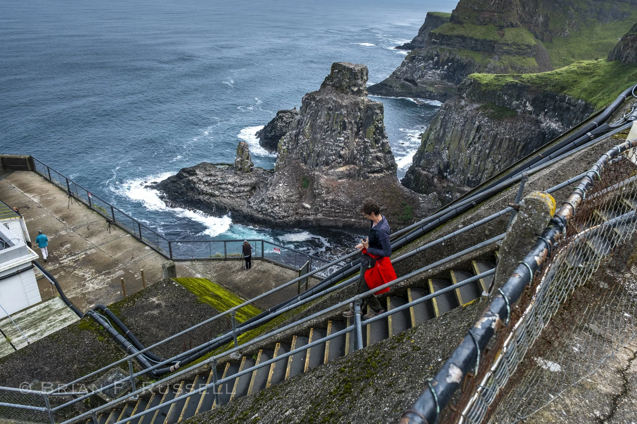
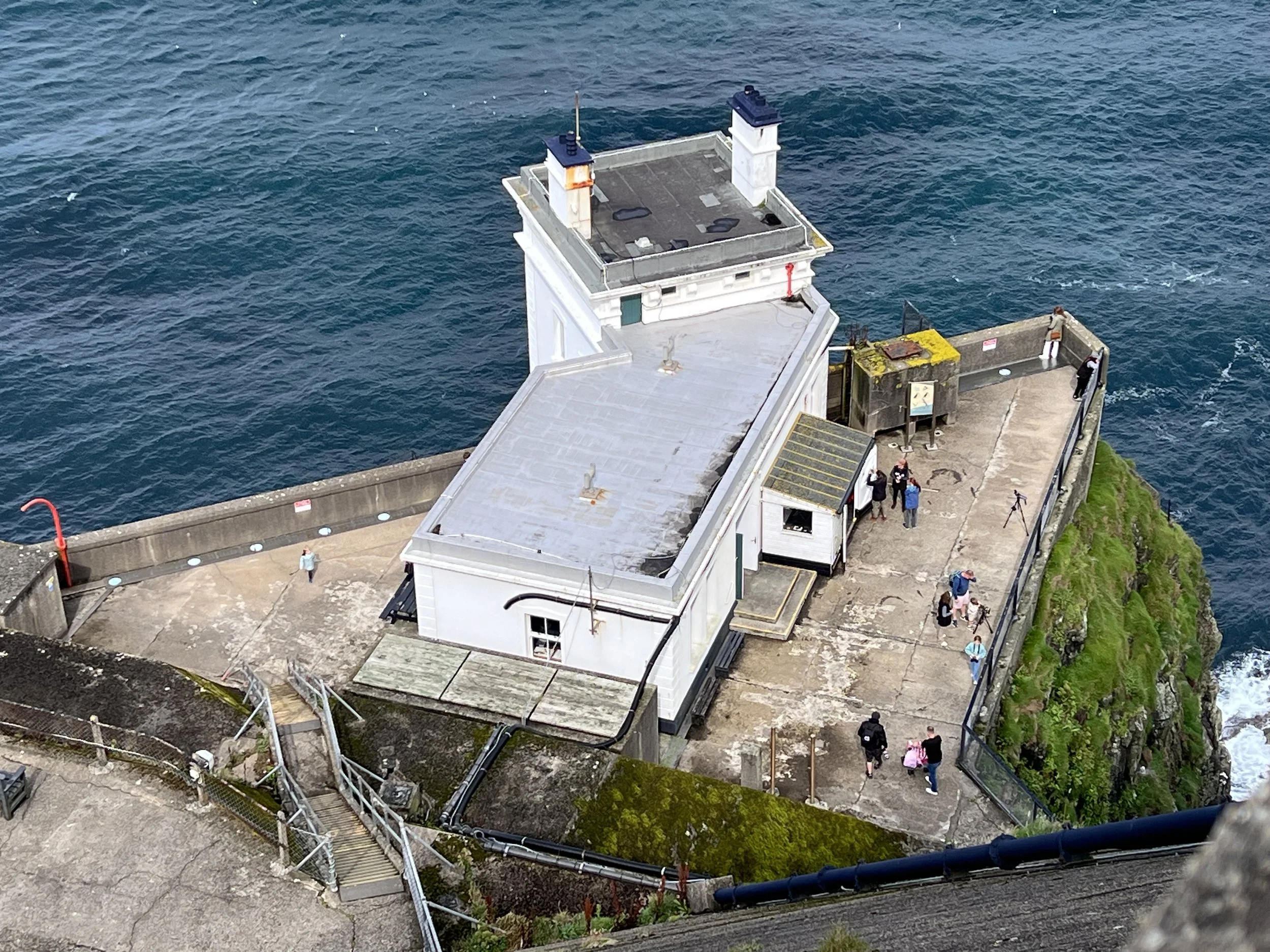
The huge foghorn at the top was an additional safety backup.
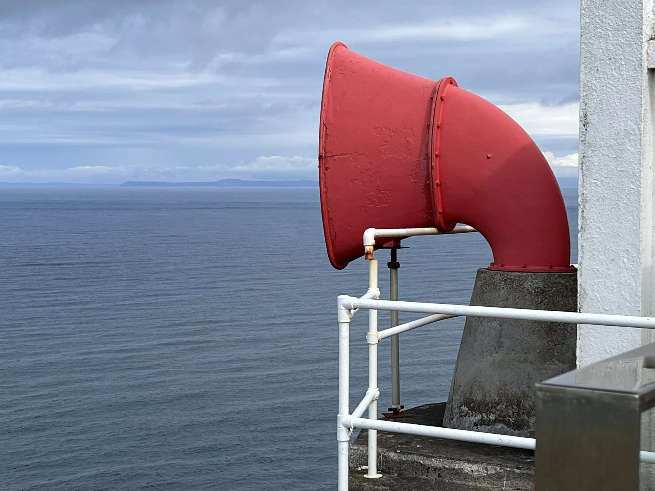
No fog today.
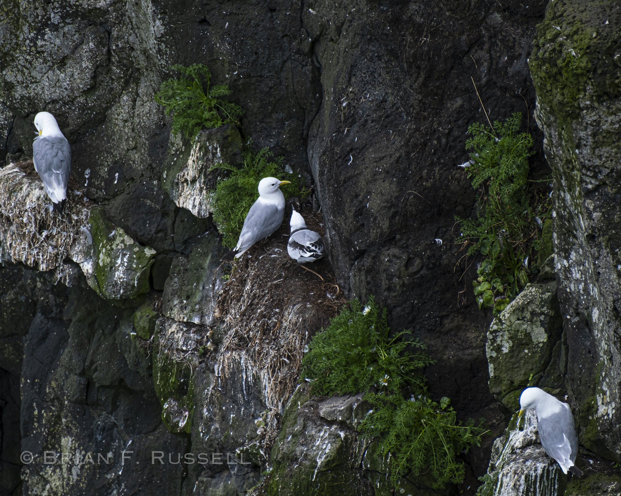
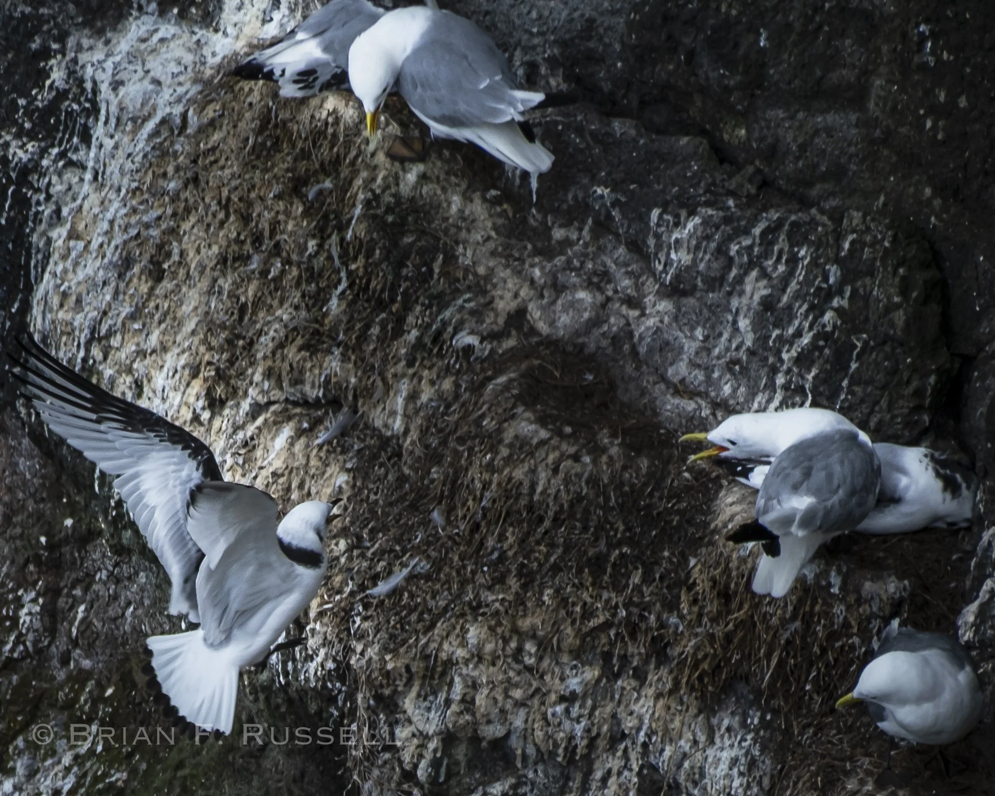
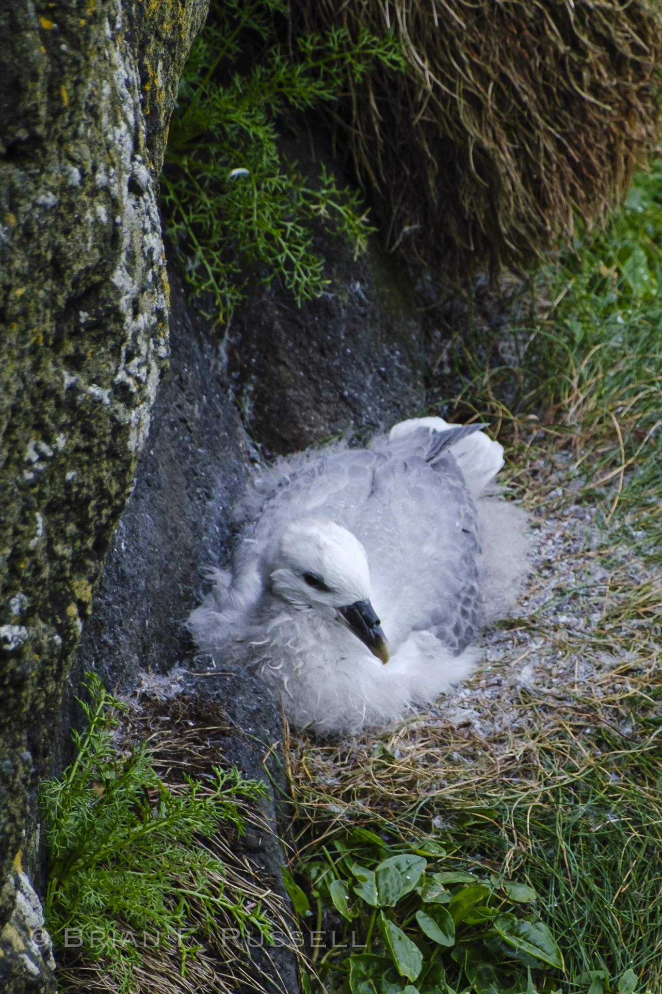
The viewing area for the seabird nesting colony was halfway down the lighthouse. Birds not normally seen on the coast, such as Fulmars, Kittiwakes, Razorbills and Puffins all nest here. Unfortunately, the peak viewing season is in July, so by mid August only the Fulmars and Kittiwakes are still on the cliffs. They were at the learning-to-fly stage, so many were rafting on the ocean and trying to land back on the tenuous cliff edges.
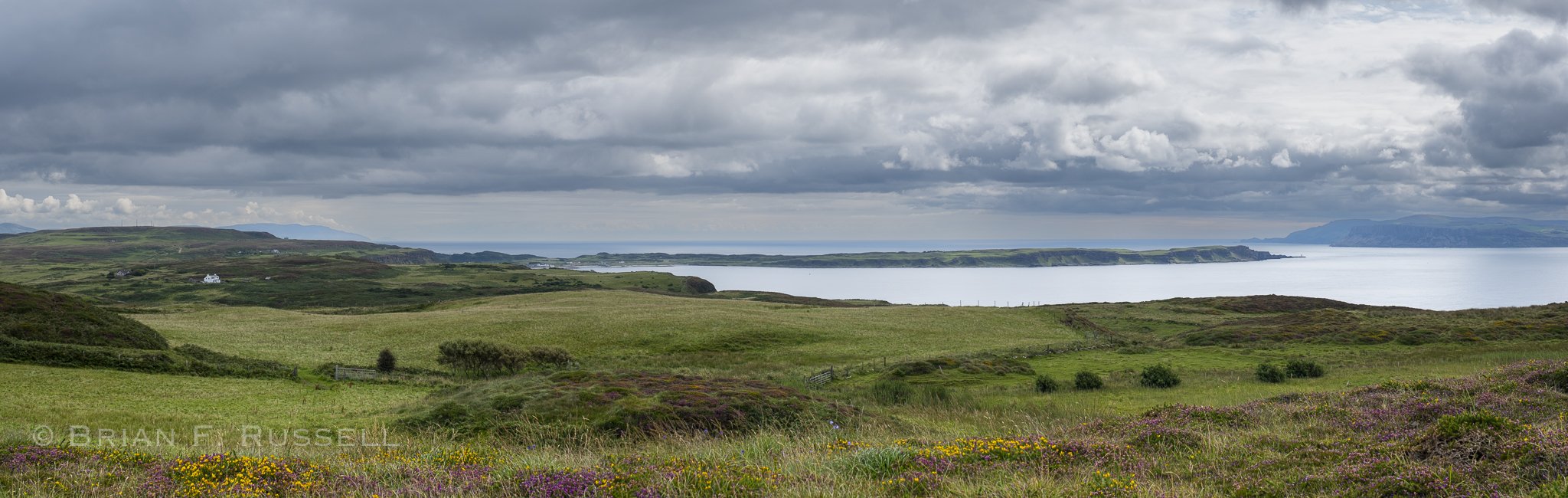
Rathlin Island, Northern Ireland is in the distance.
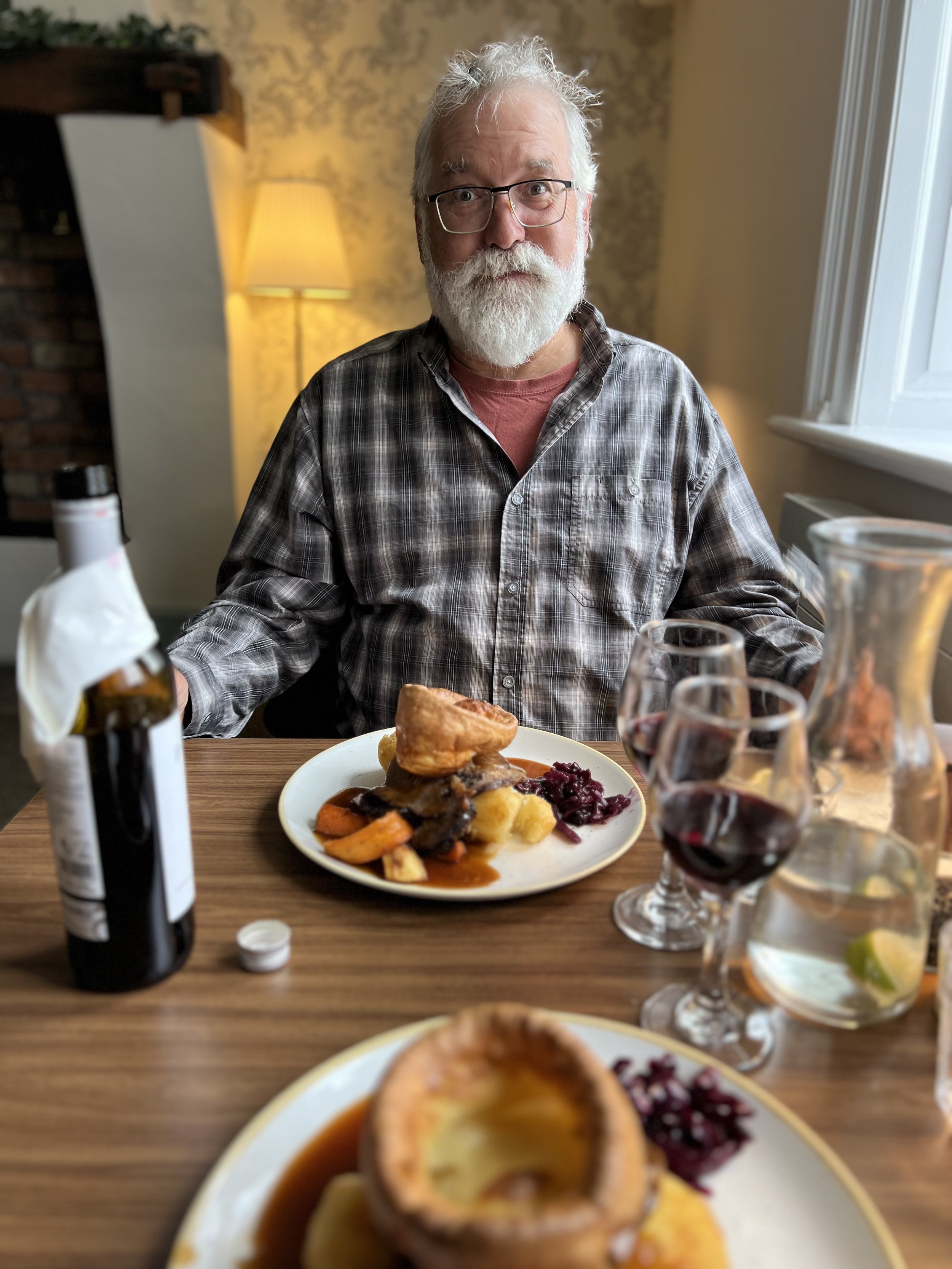
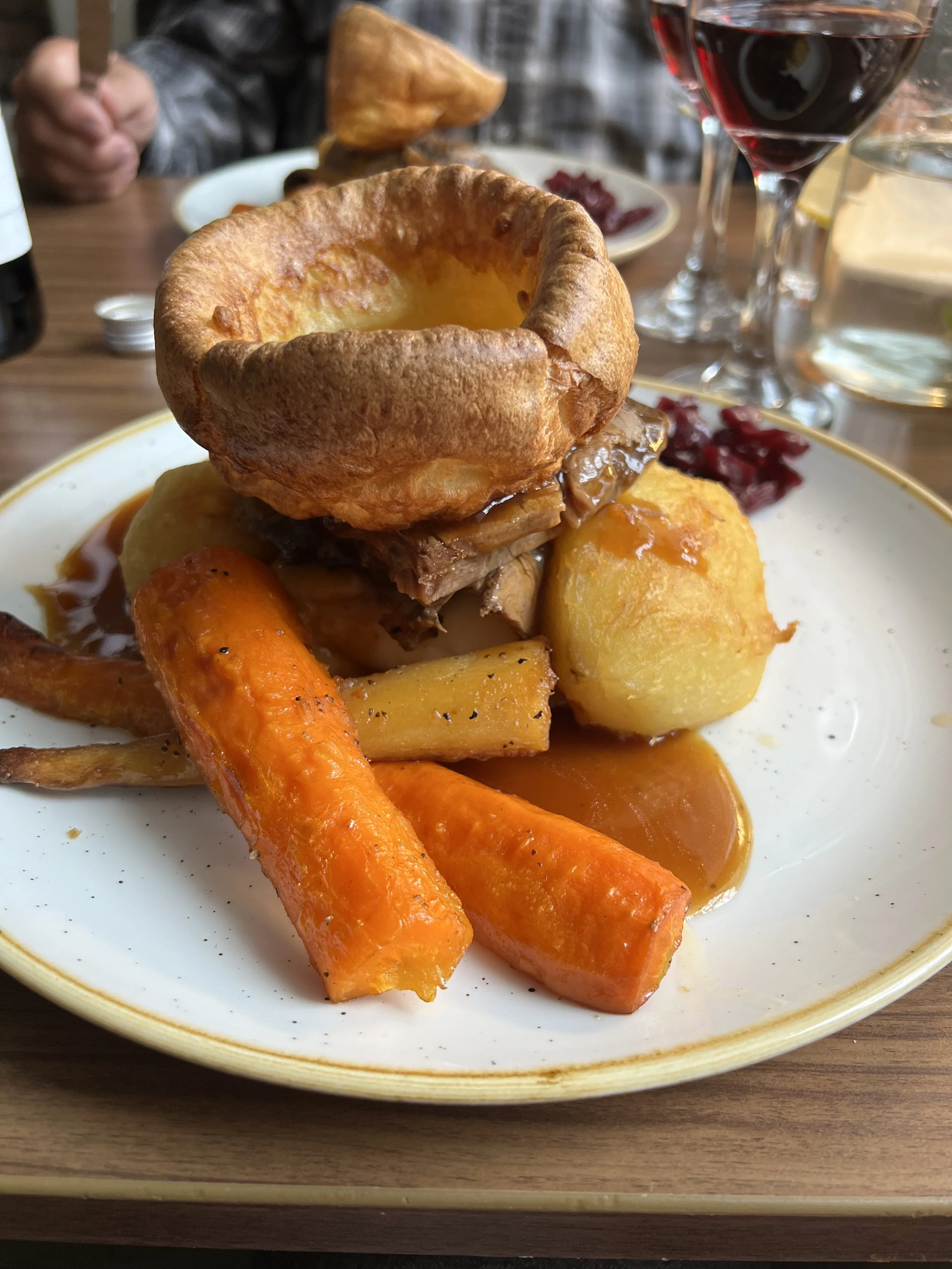
We walked back to the harbor, enjoying the cliffs and marvelous vistas. We treated ourselves to a slap up roast dinner at the hotel. It was Sunday, and we were back in Blighty after all.