Ireland: Bantry to Inishmore.
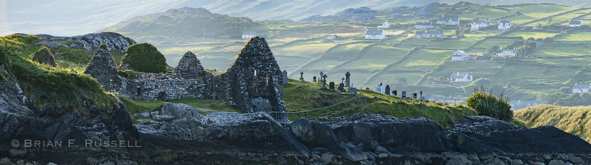
Derrynane, Co. Kerry, Ireland.
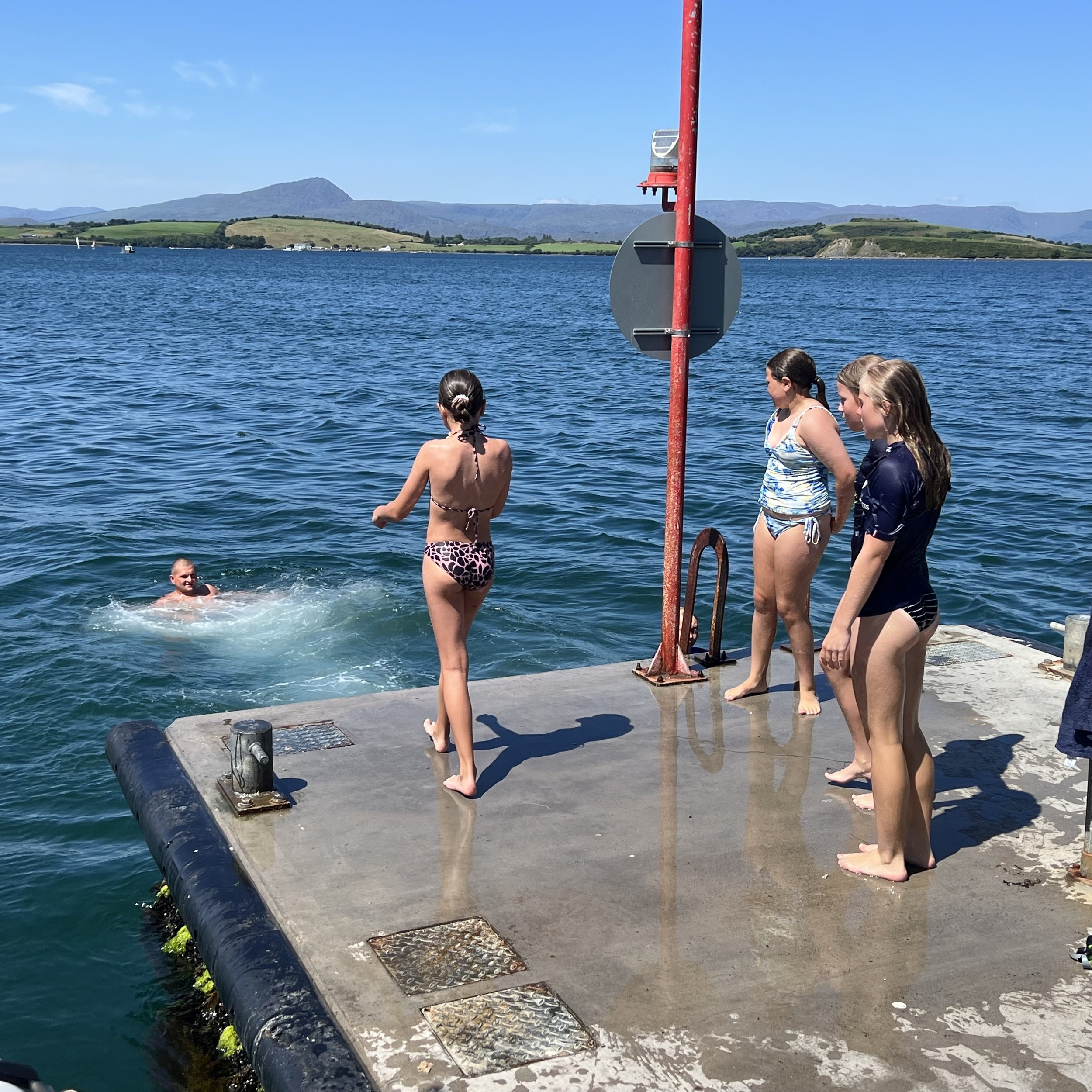
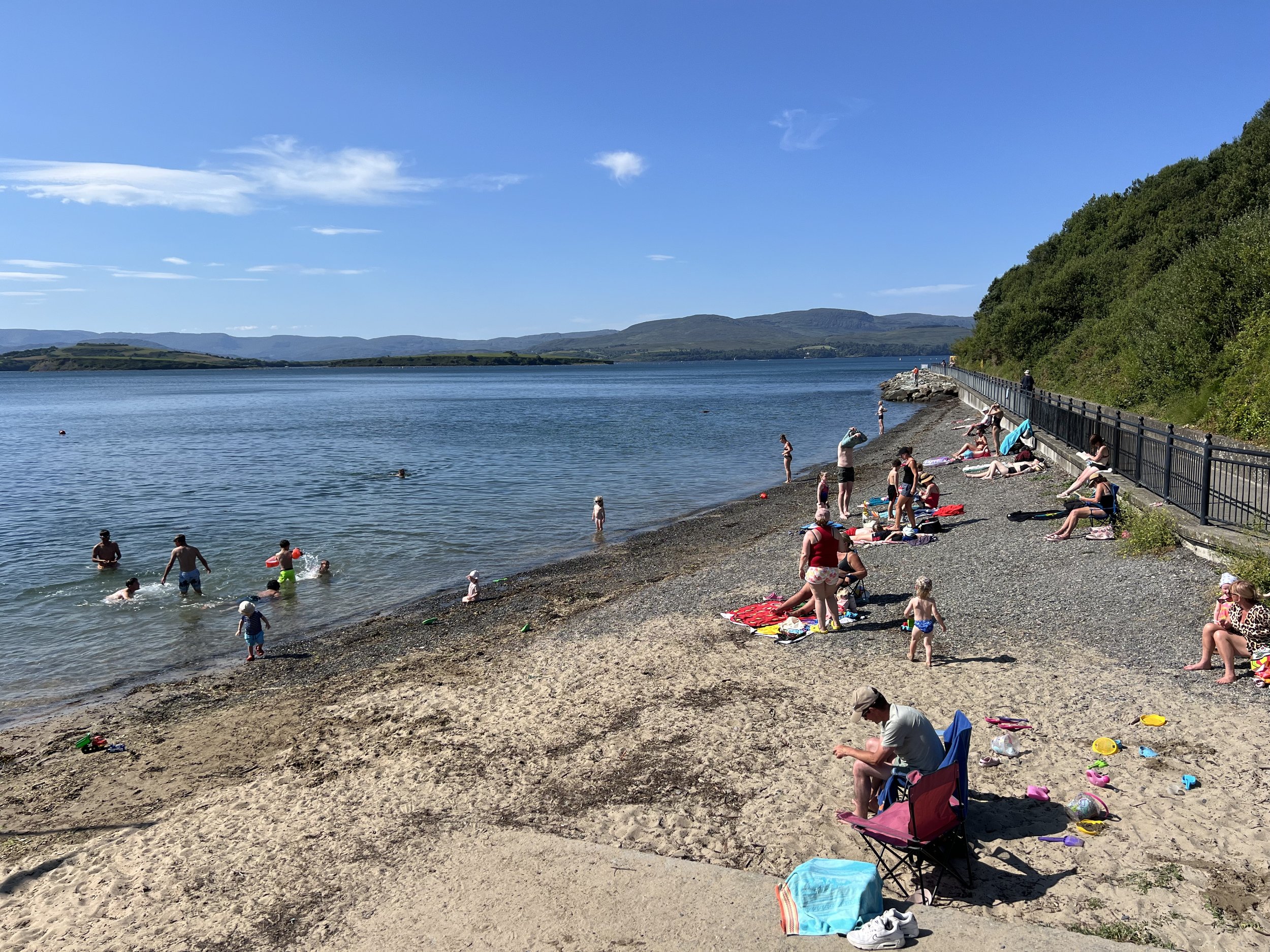
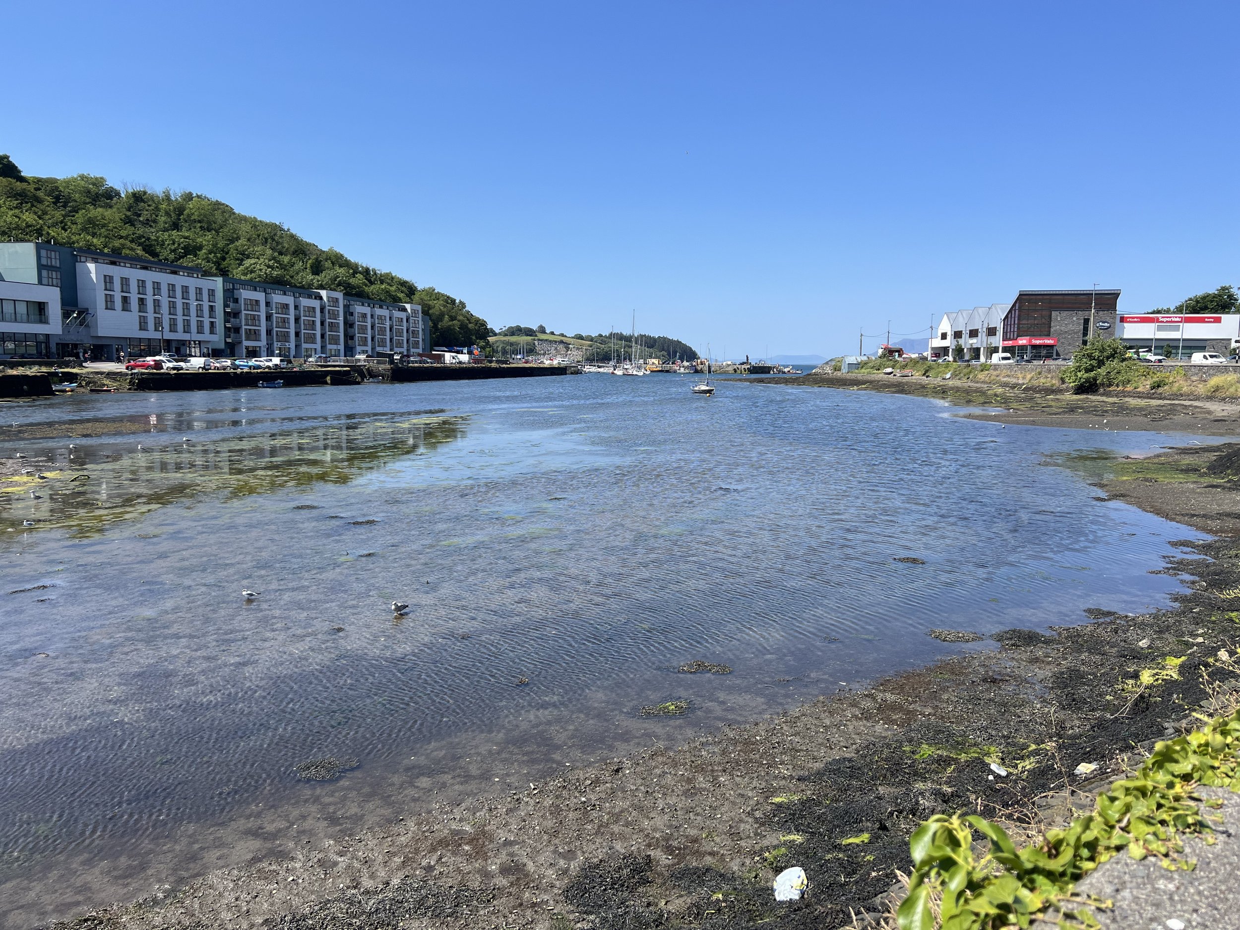
Bantry, at the head of Bantry Bay, is in the south west corner of Ireland, an ideal place to start our circumnavigation of Ireland this summer. The weather was perfect, sunny days brought out the locals and the beach was full. The free town pier we were tied to was also used by fishermen and the local youth. Different groups would take it in turns to occupy the premium spot at the tip, where they could jump off into the still freezing water, or pose with passing yacht owners.
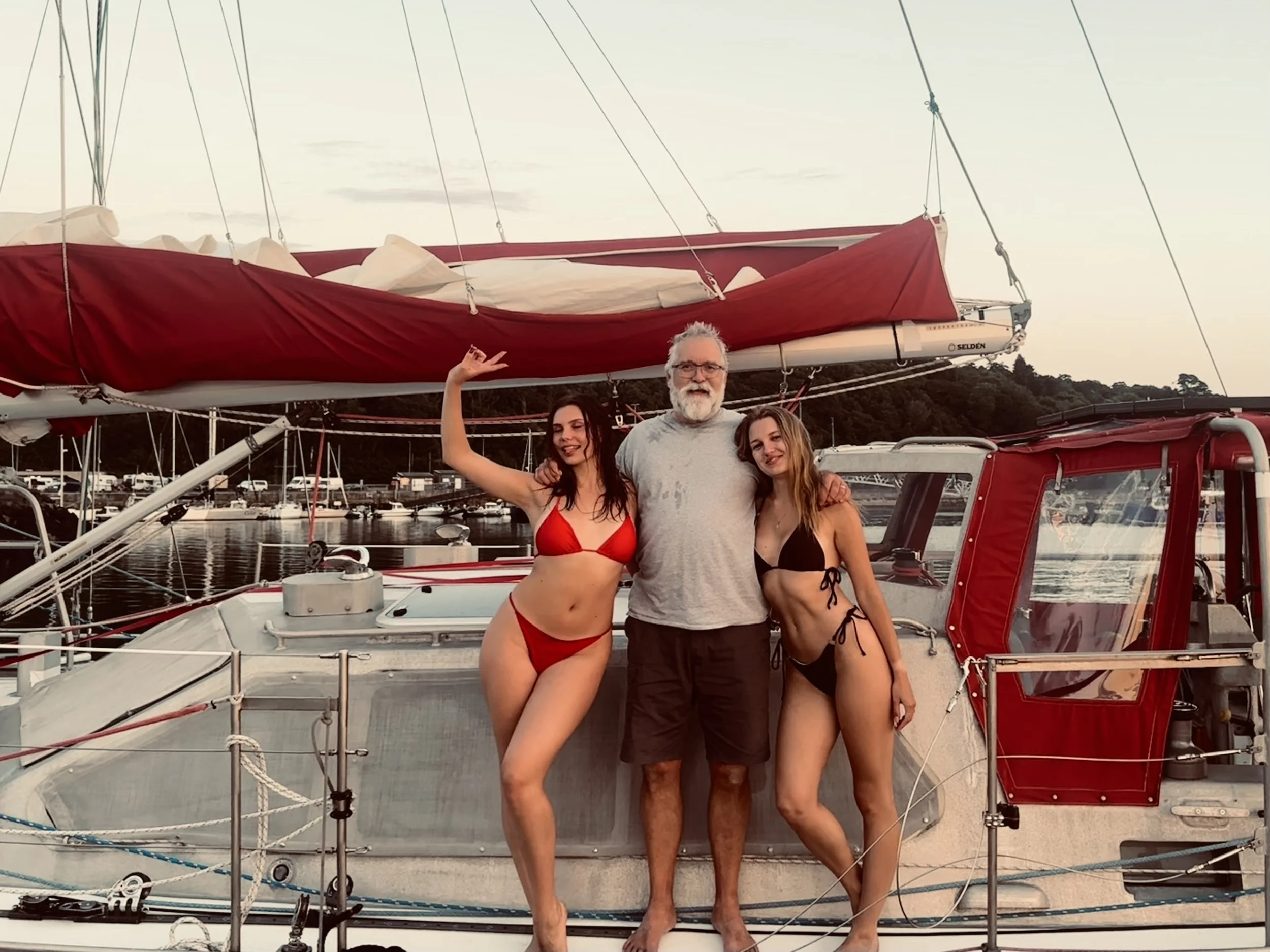
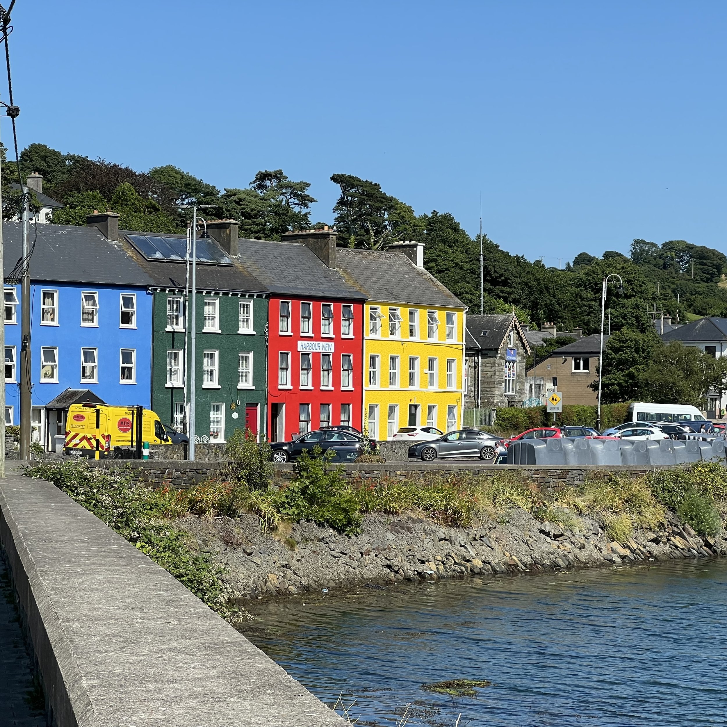
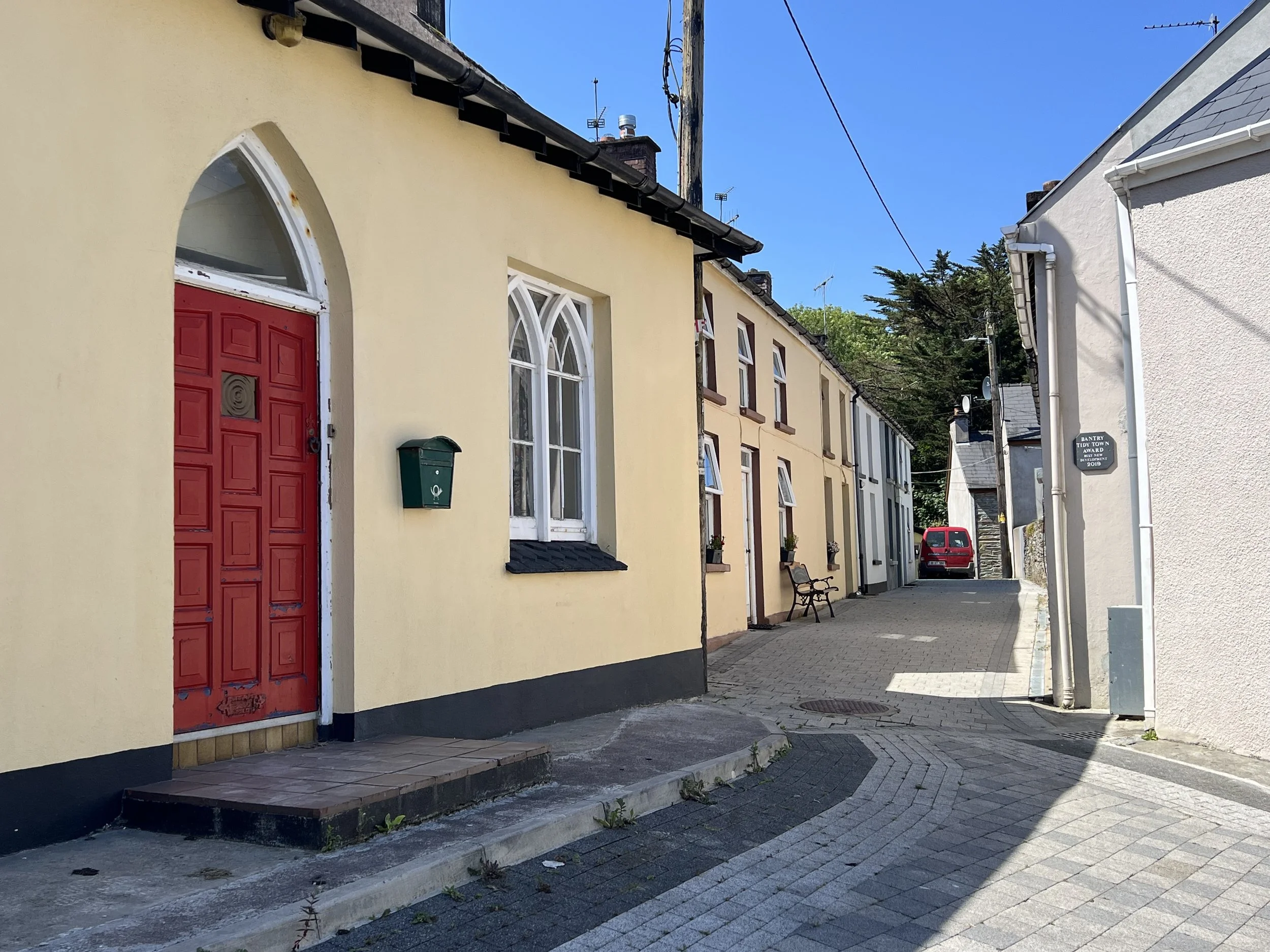
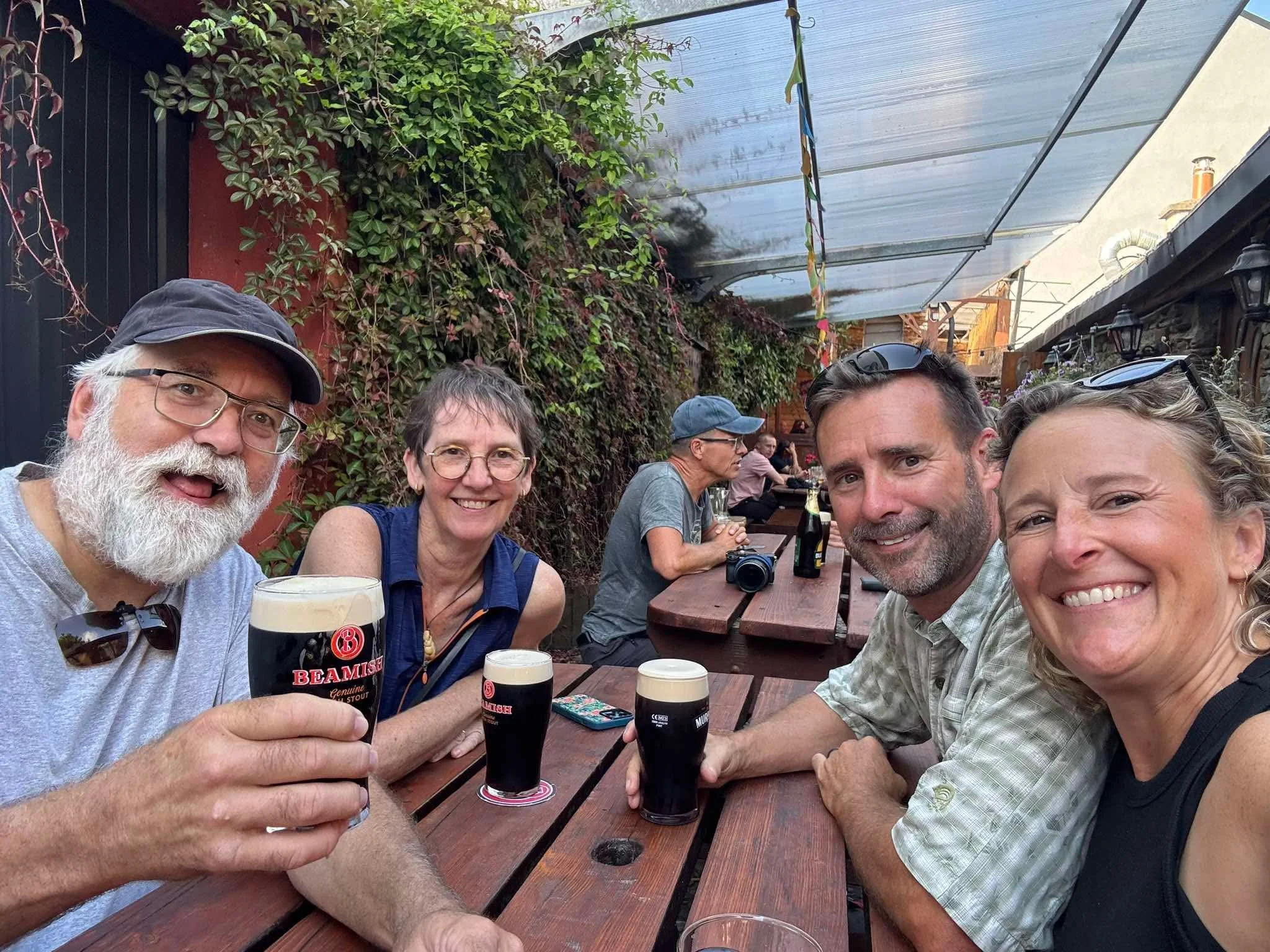
We caught up with friends Chrystie and Ken from SV Remedy over a pint of Beamish and some fish and chips. Helacious was cleaned up after the long passage, laundry was taken care of and the fridge was replenished. We explored the small town of Bantry, the colorful homes and back alleys.
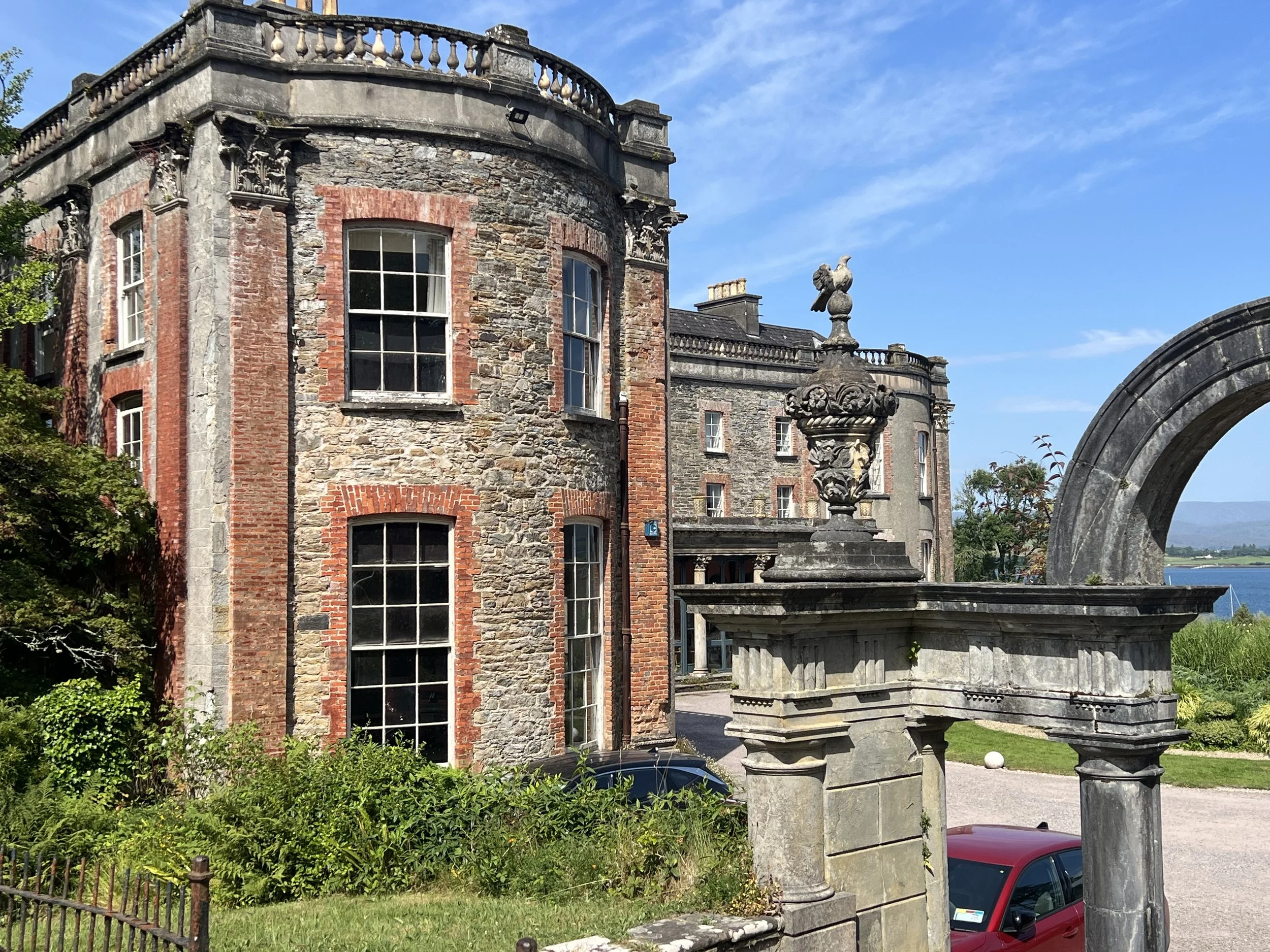
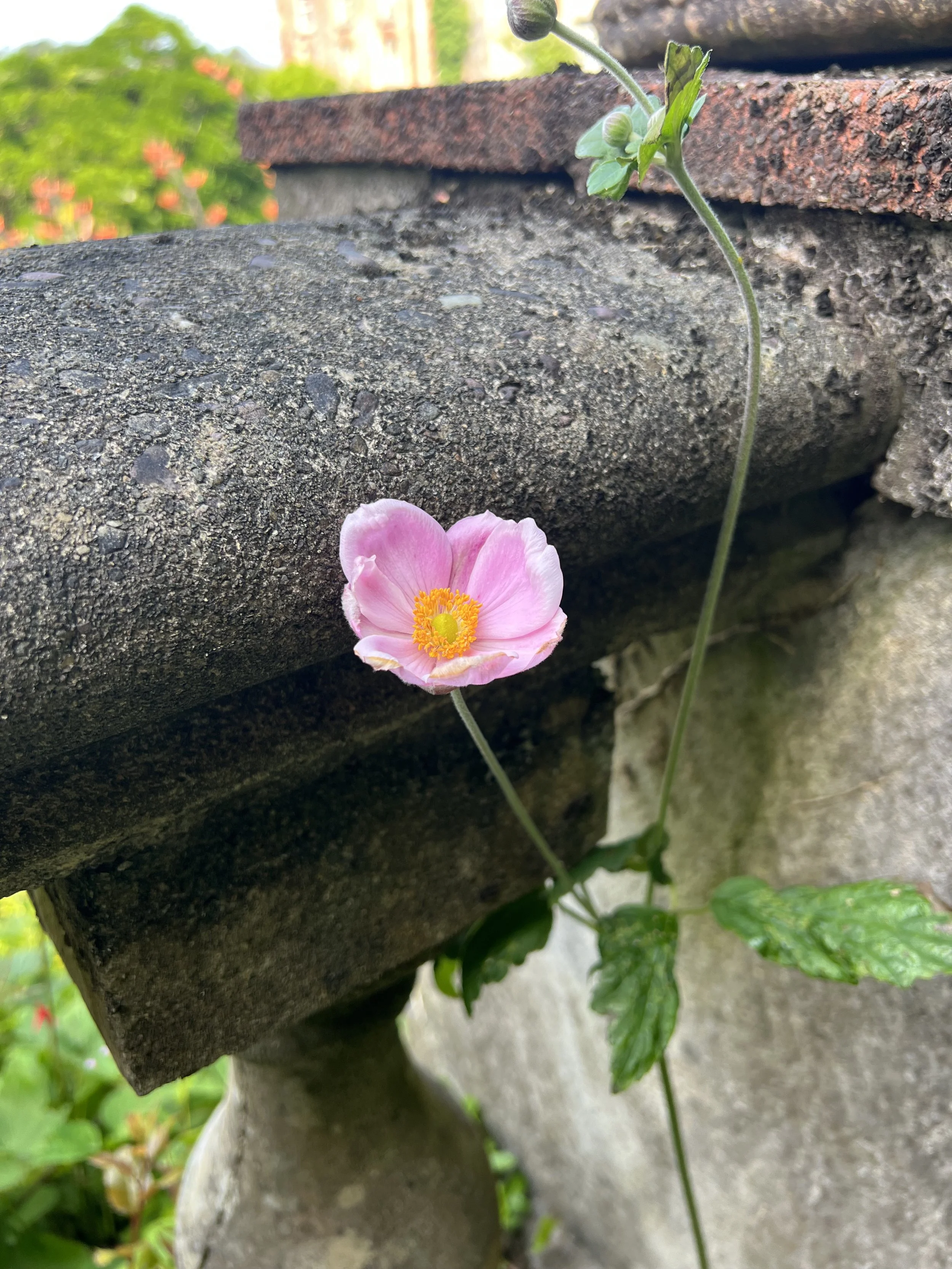
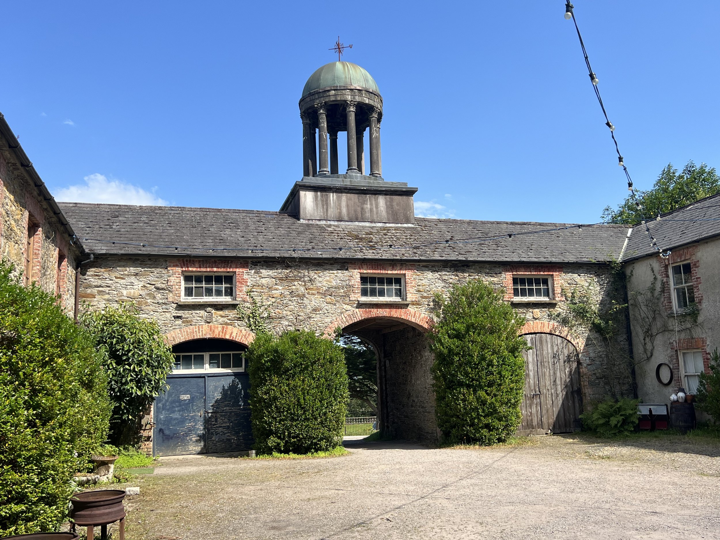
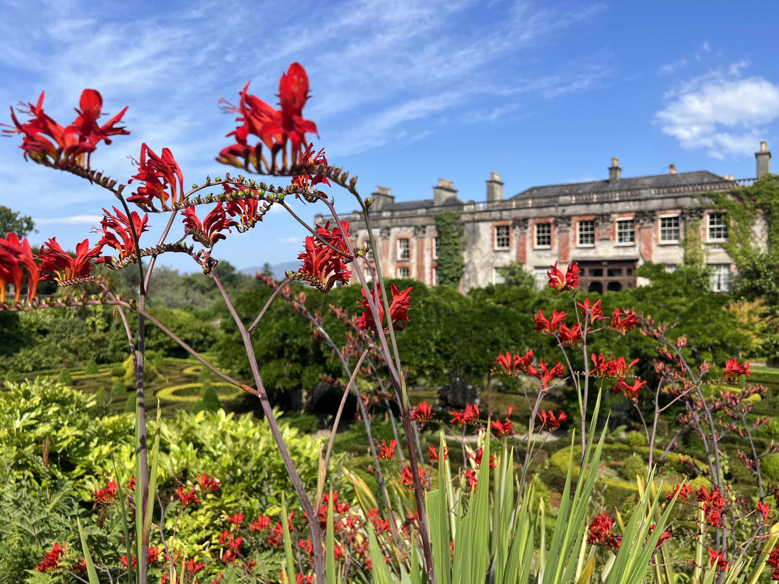
Just down from the harbor is Bantry house, an impressive stately home, originally built in 1710, with fine gardens and an unparalleled view.
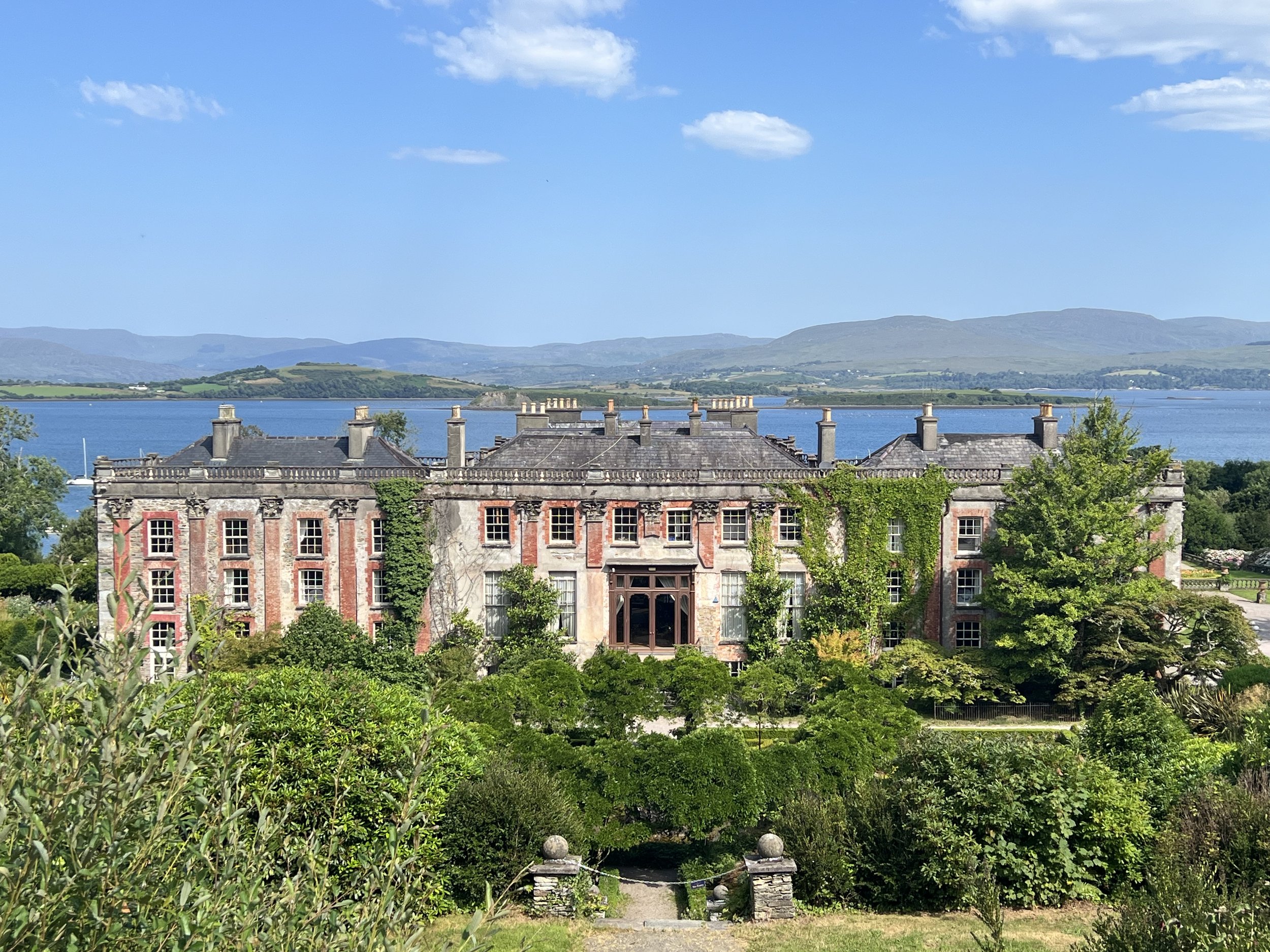
Bantry House.
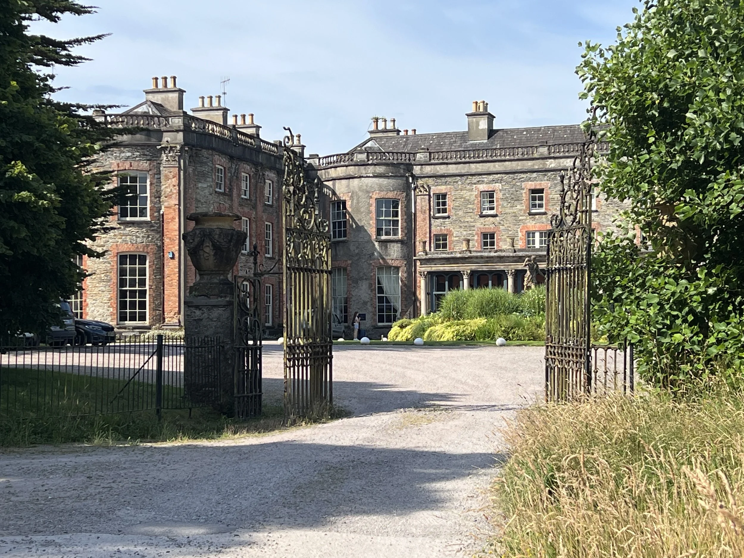
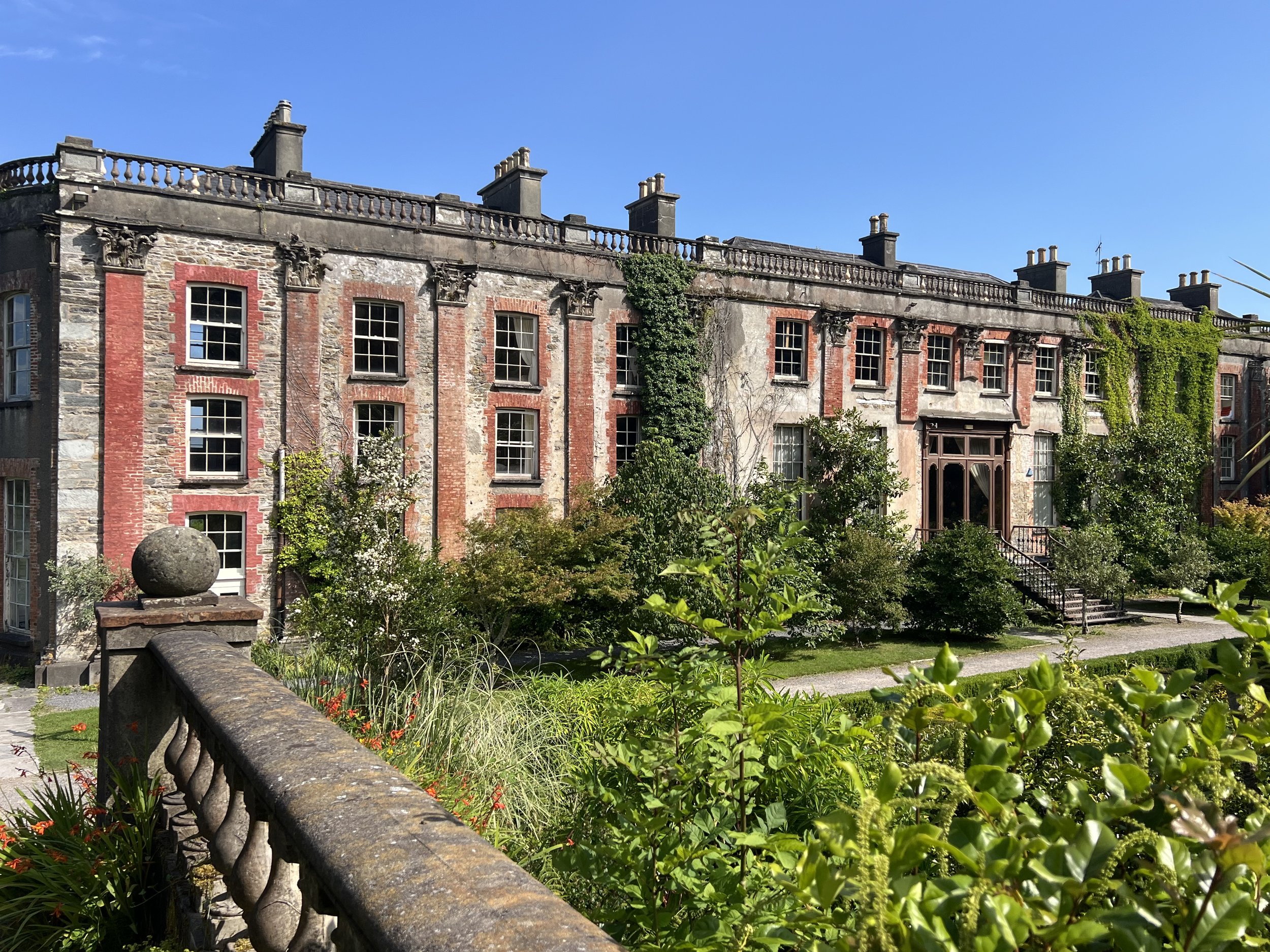
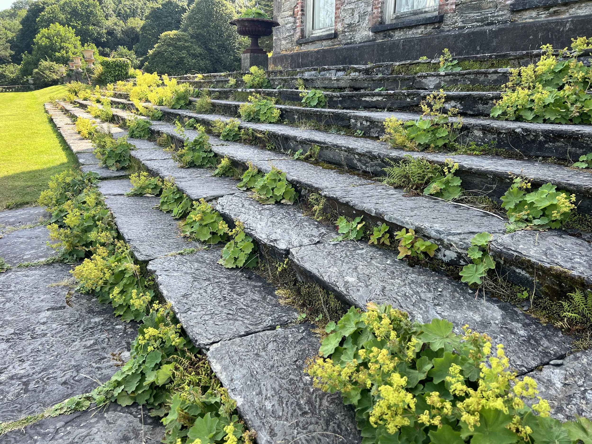
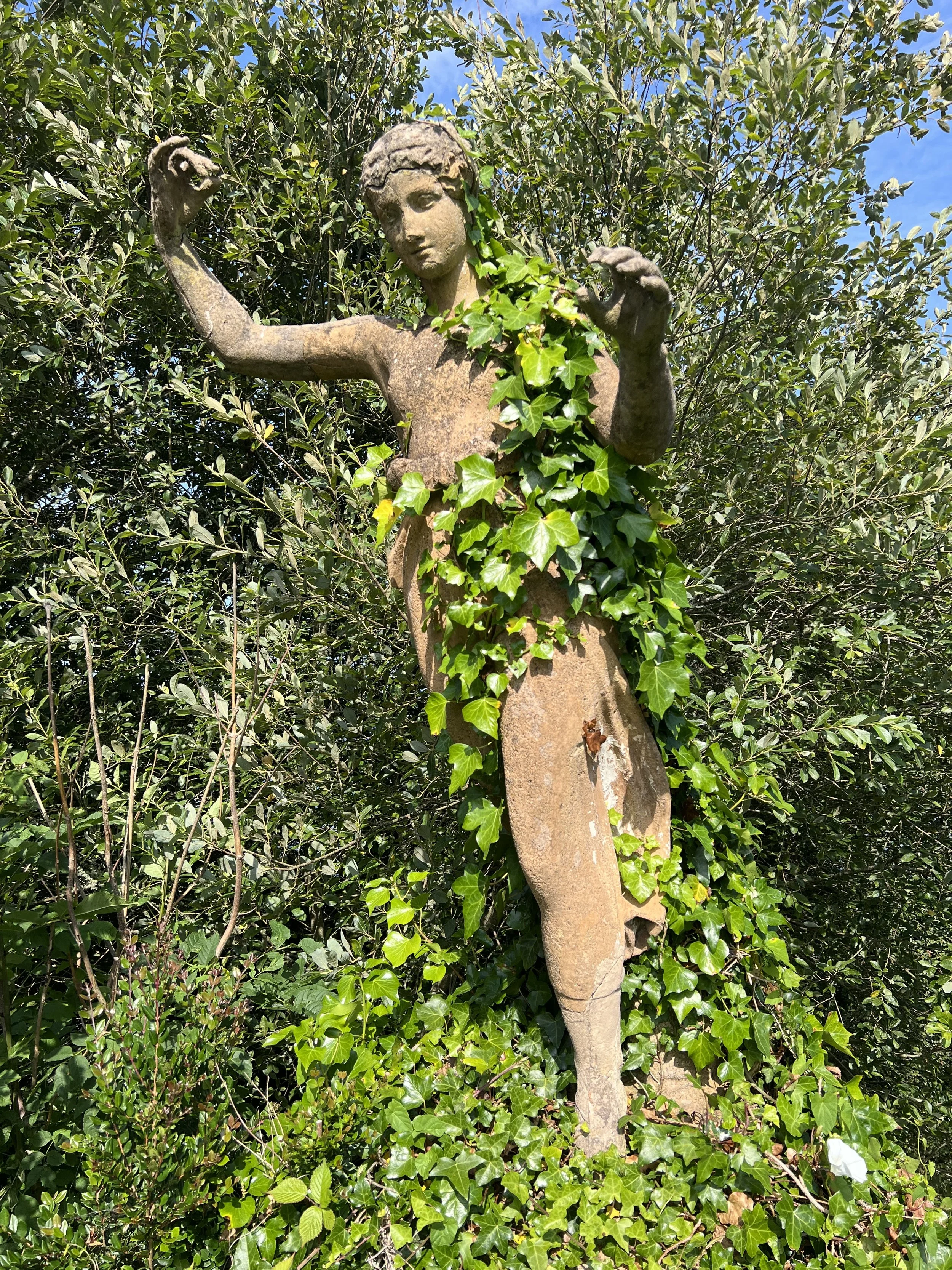
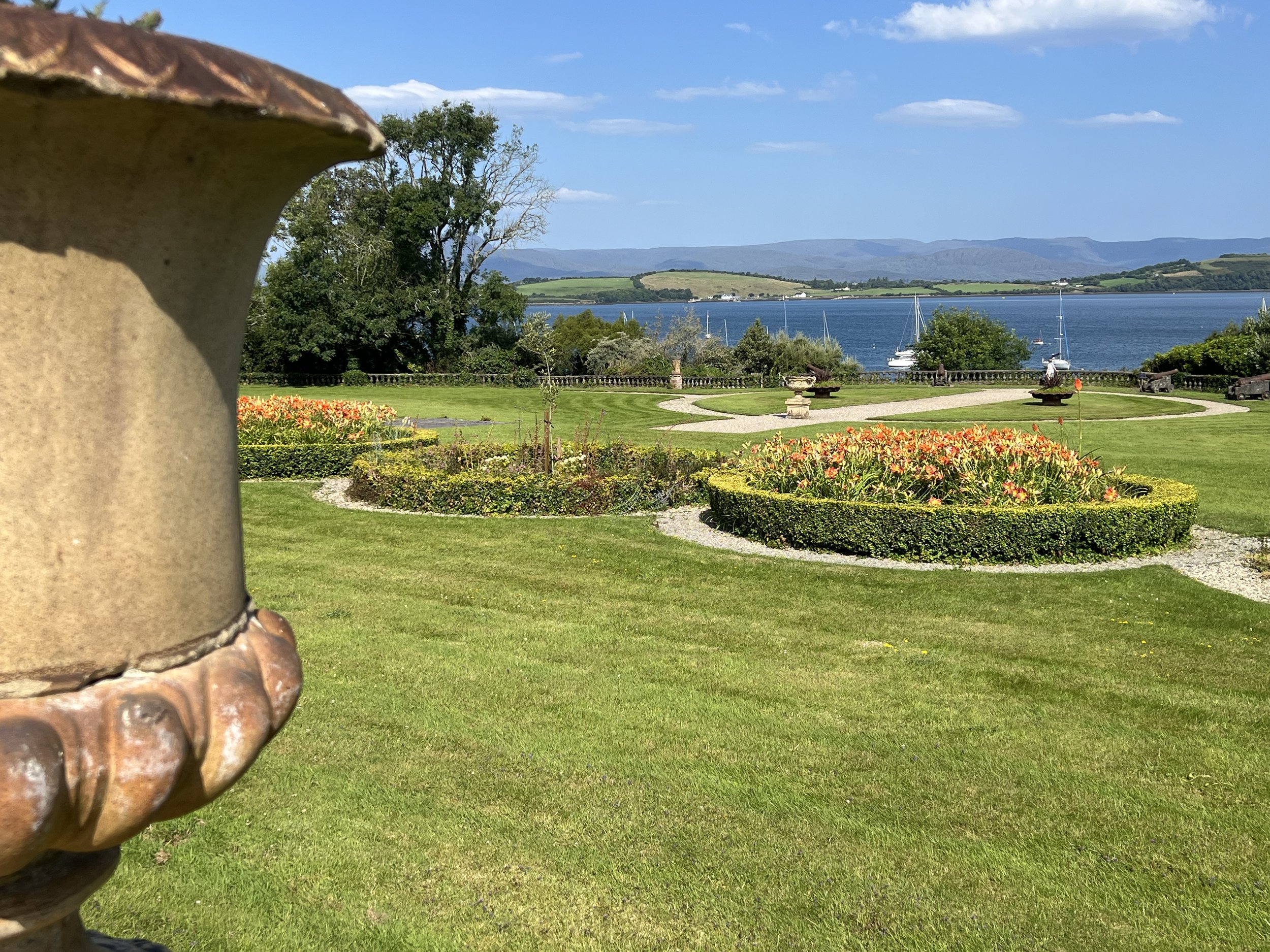
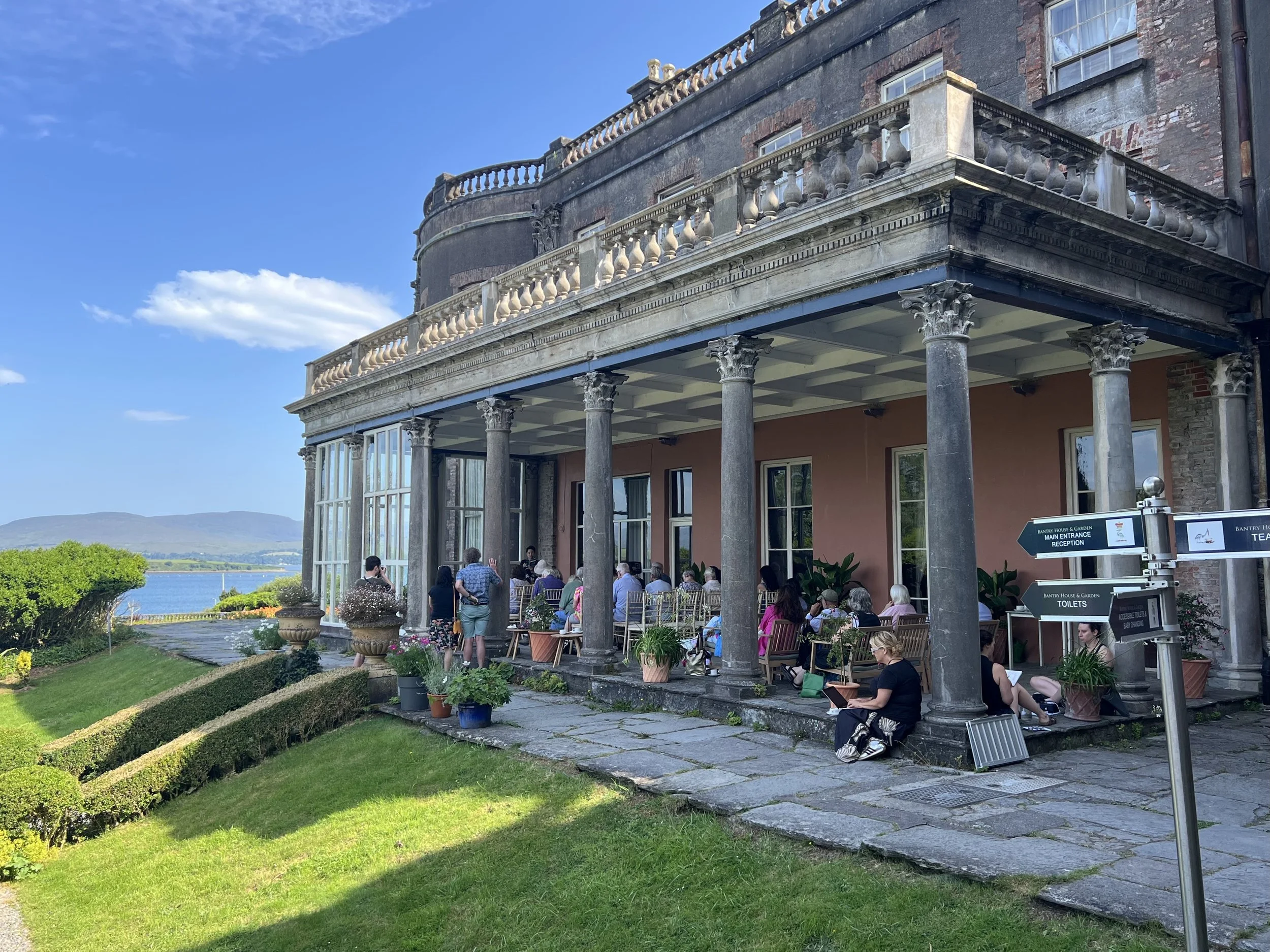
The week we were in Bantry there was also a Literary Festival, with book and poetry readings all over. Bantry house was a popular location.
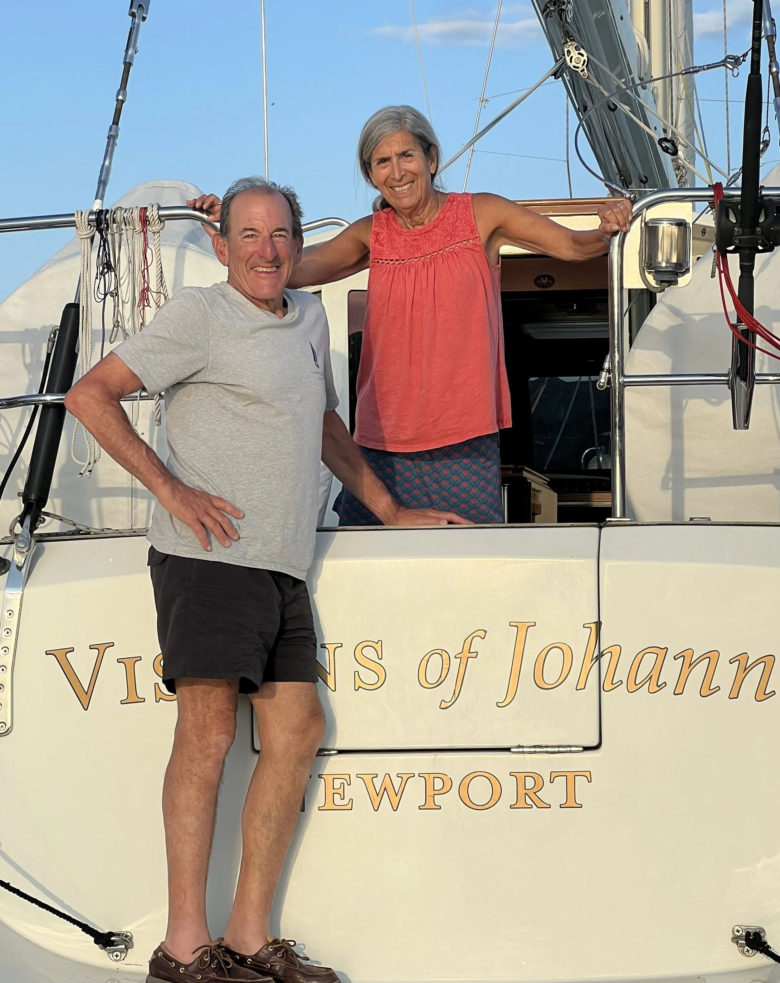
After a few days we felt fully recovered and were ready to untie from the rather busy town dock and look for a little peaceful time at anchor. We sailed about 5 miles north to a beautiful bay and the small town of Glengarriff. Just as we set the anchor, a neighbor rowed over to introduce themselves. Fellow OCC members Bill and Johanna from SV Visions of Johanna. They invited us, along with Chrystie and Ken, over for sundowners that evening.
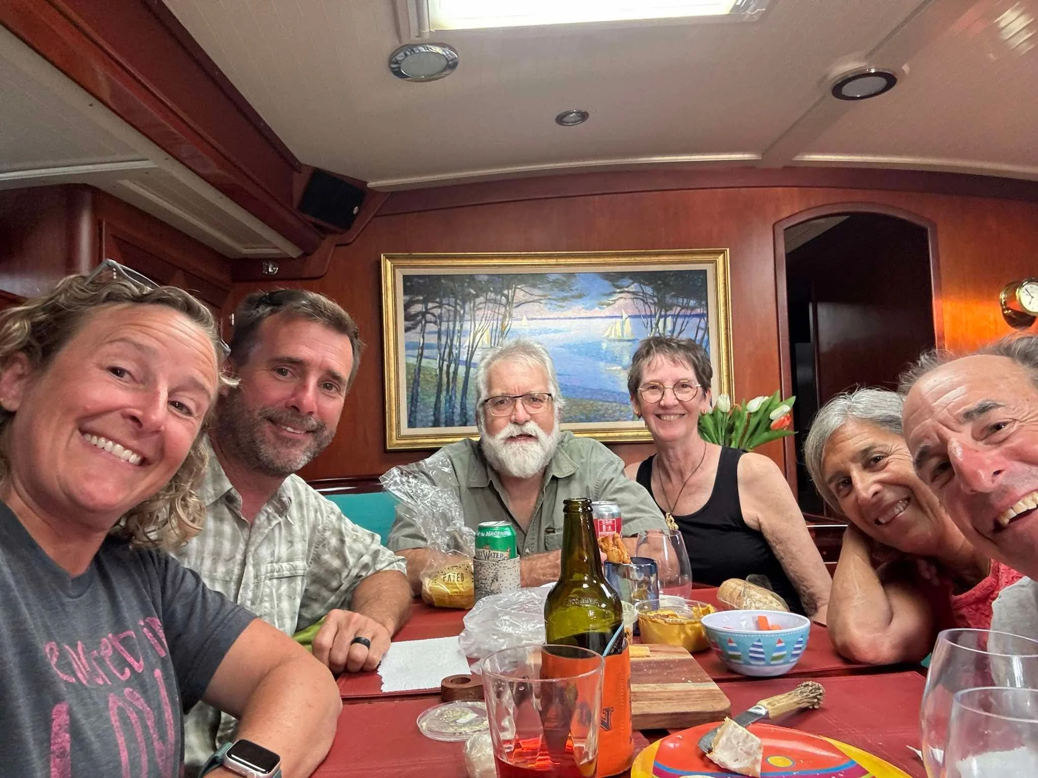
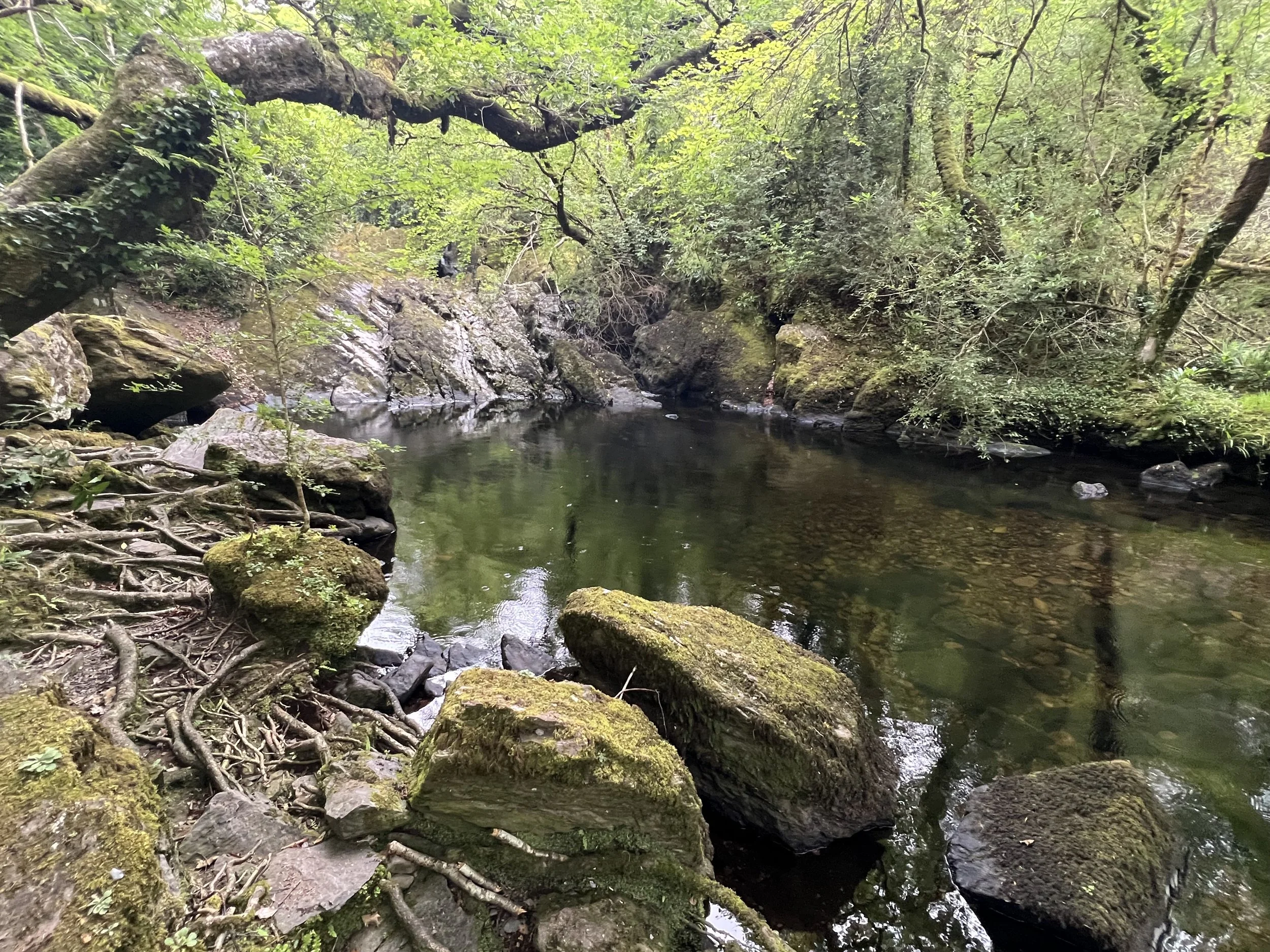
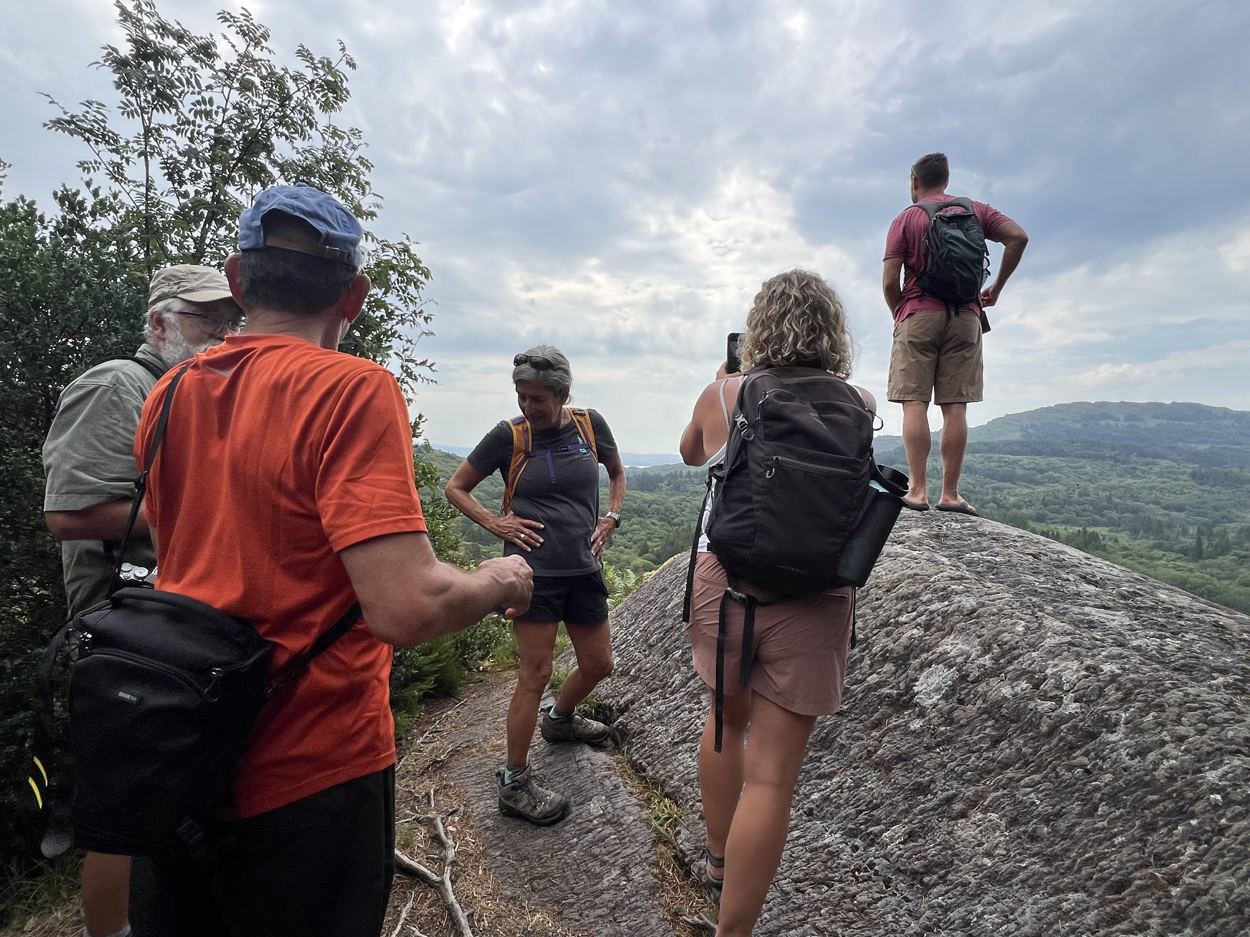
The following day we all met up to go on a hike through the woodland reserve that climbed up the hills from the bay. It was a good workout for our weakened and out of shape passage legs.
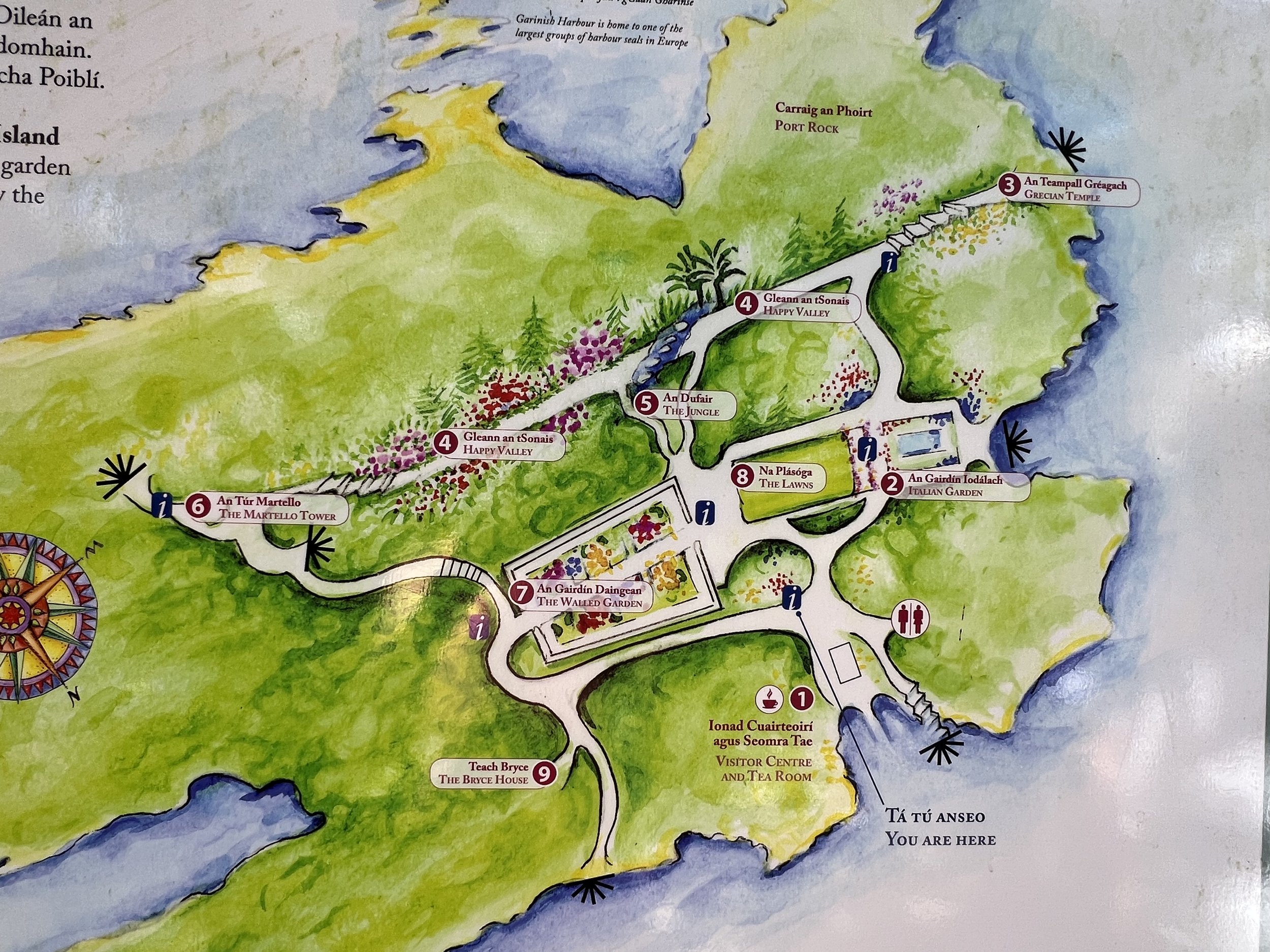
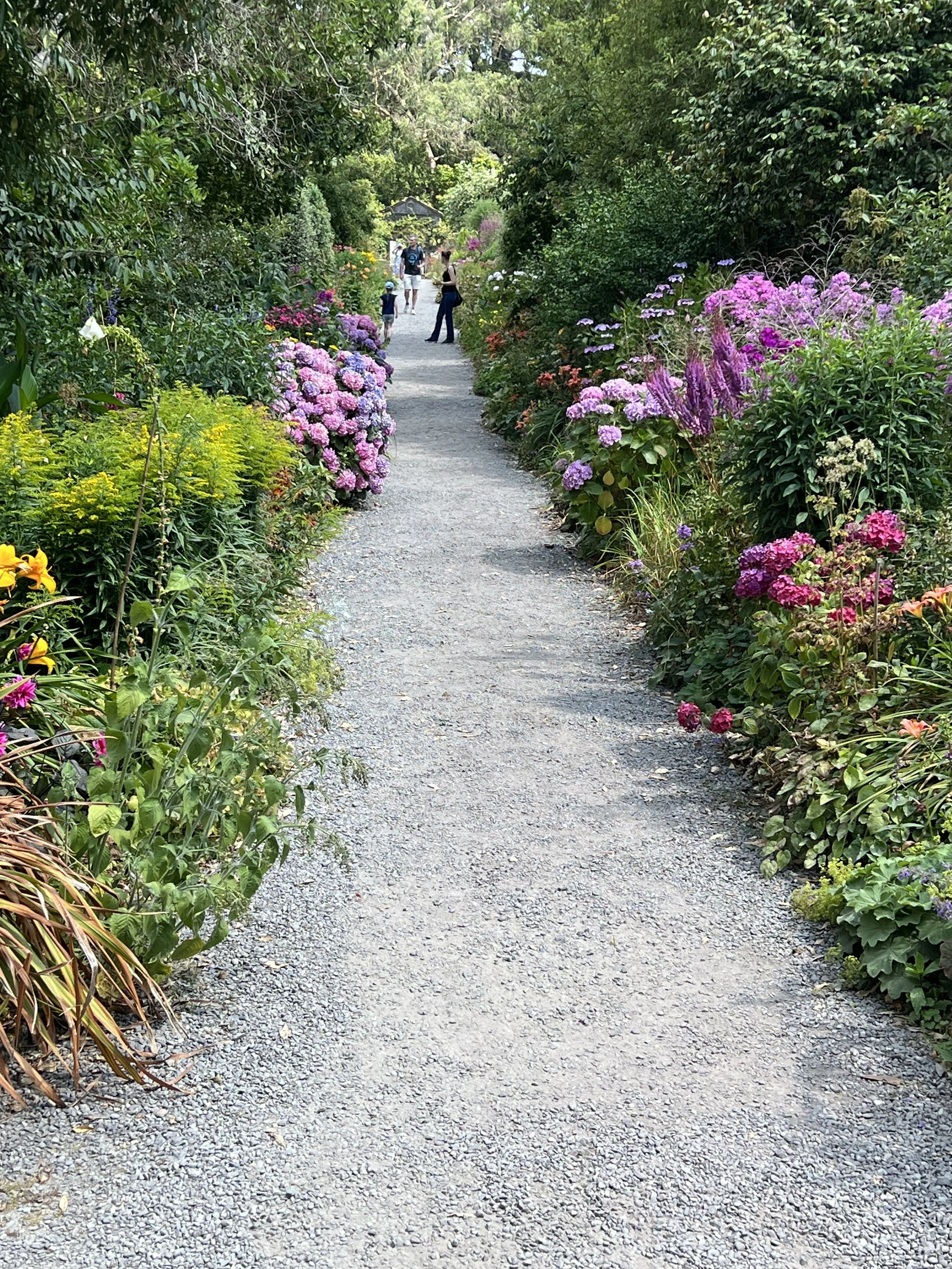
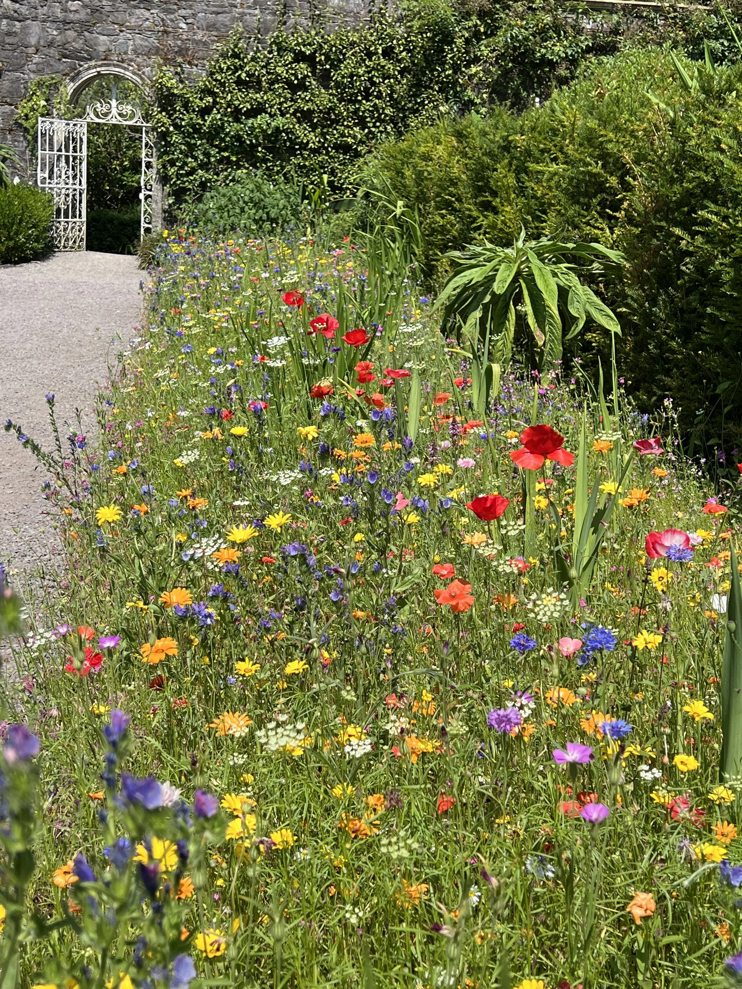
Glengarriff is also the home to a wonderful Italianate garden, designed in the early twentieth century, and situated on the small island of Garinish. We took the dinghy in, and secured it to some rocks, out of the way of the constant ferries bringing in the guests.
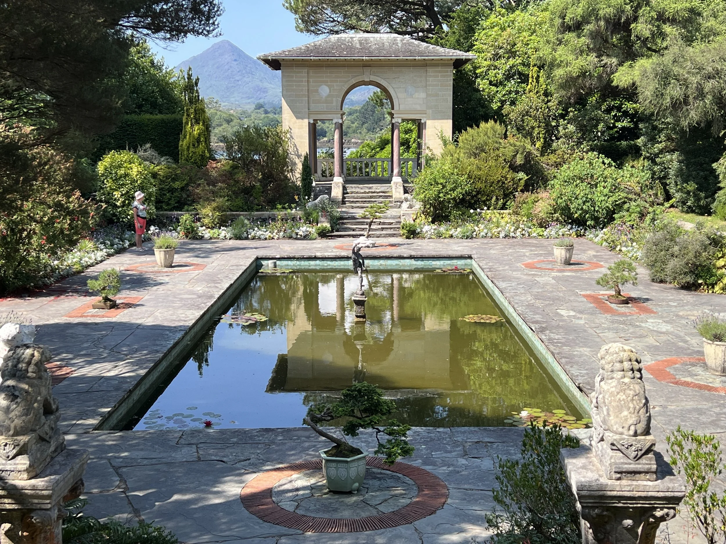
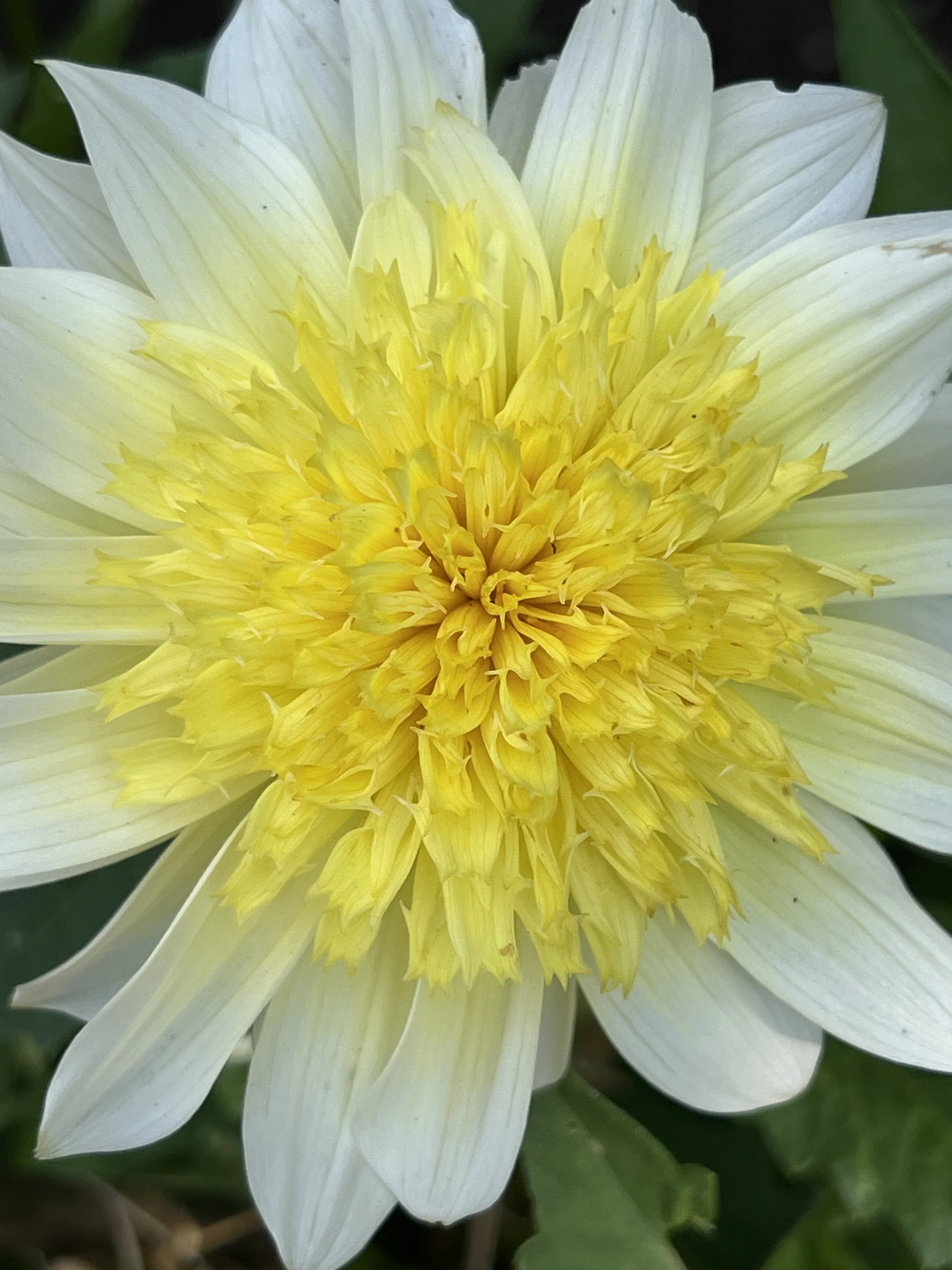
The Italian Garden.
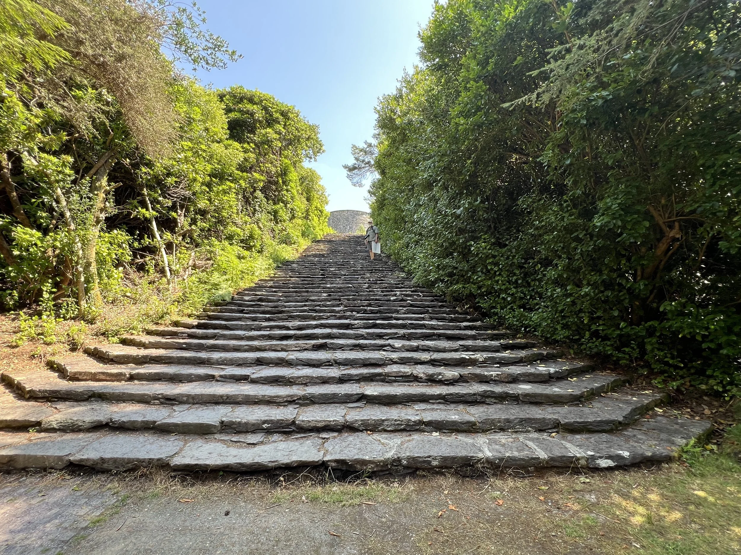
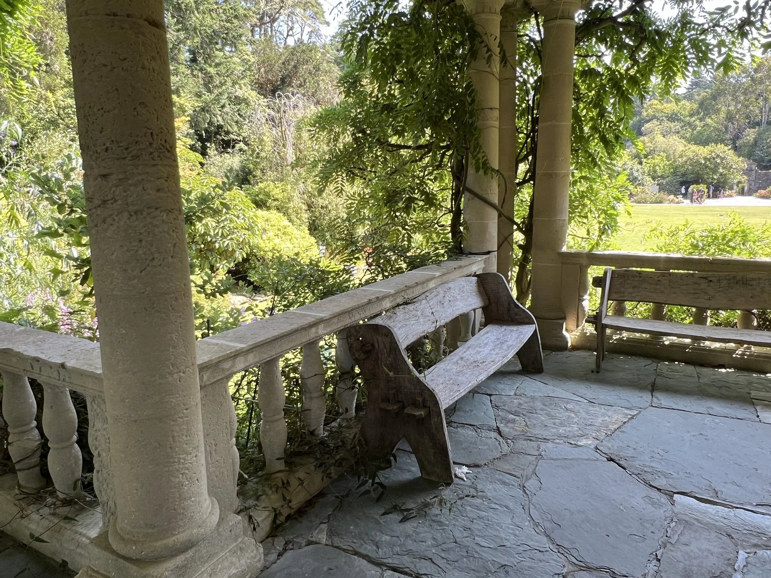
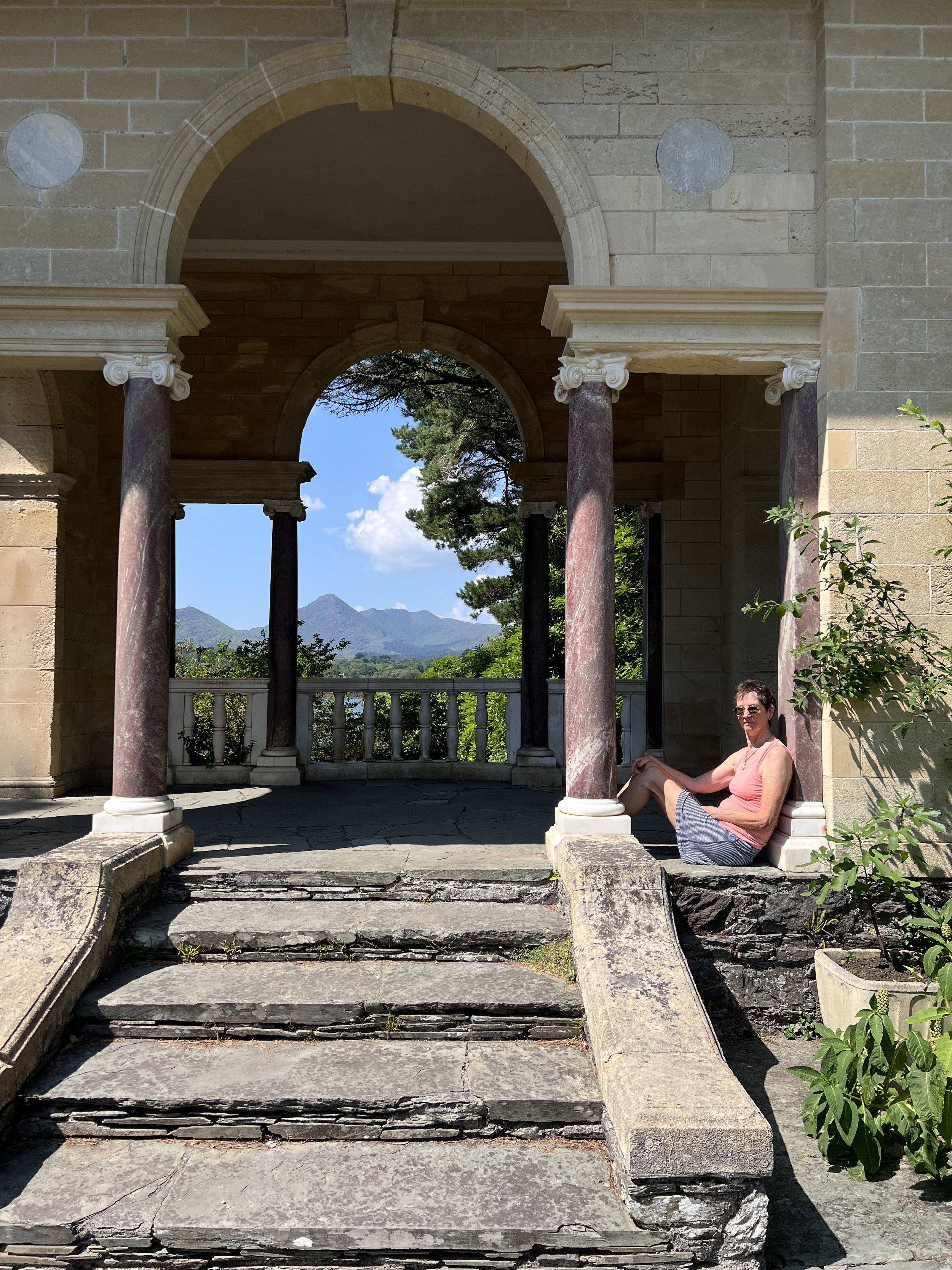
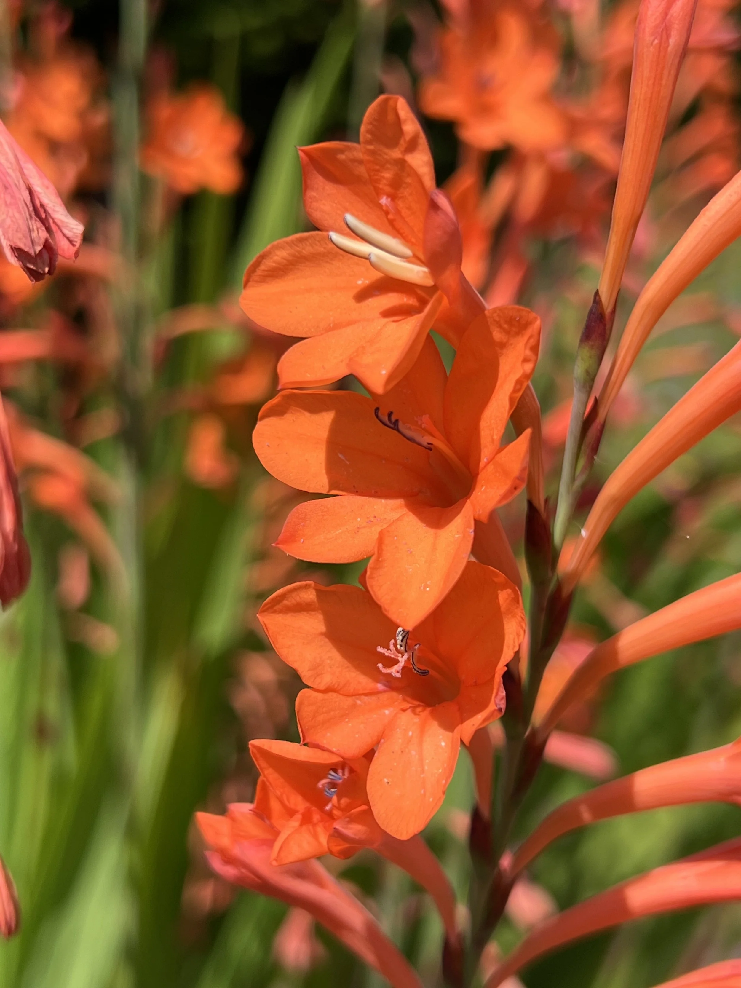
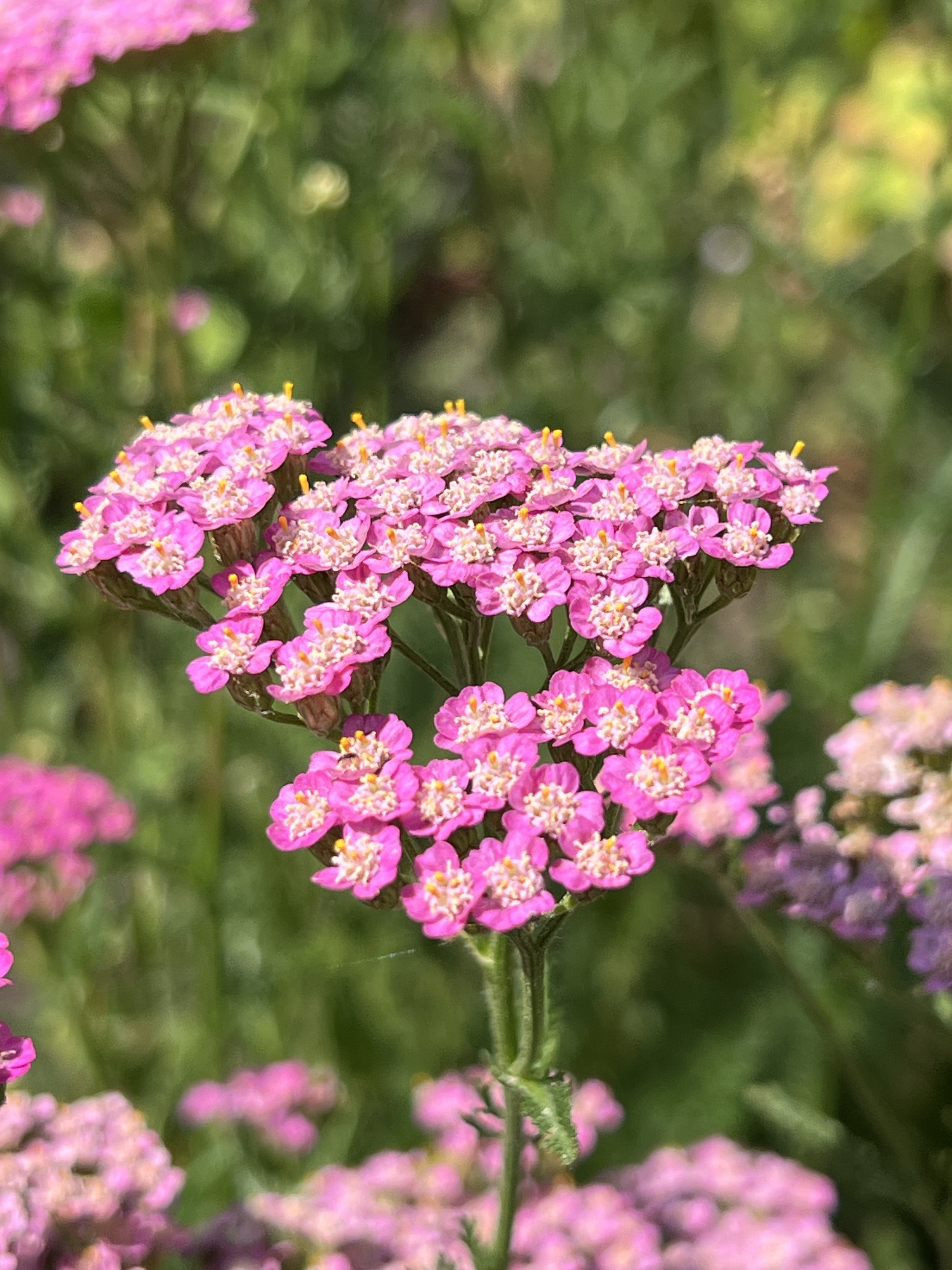
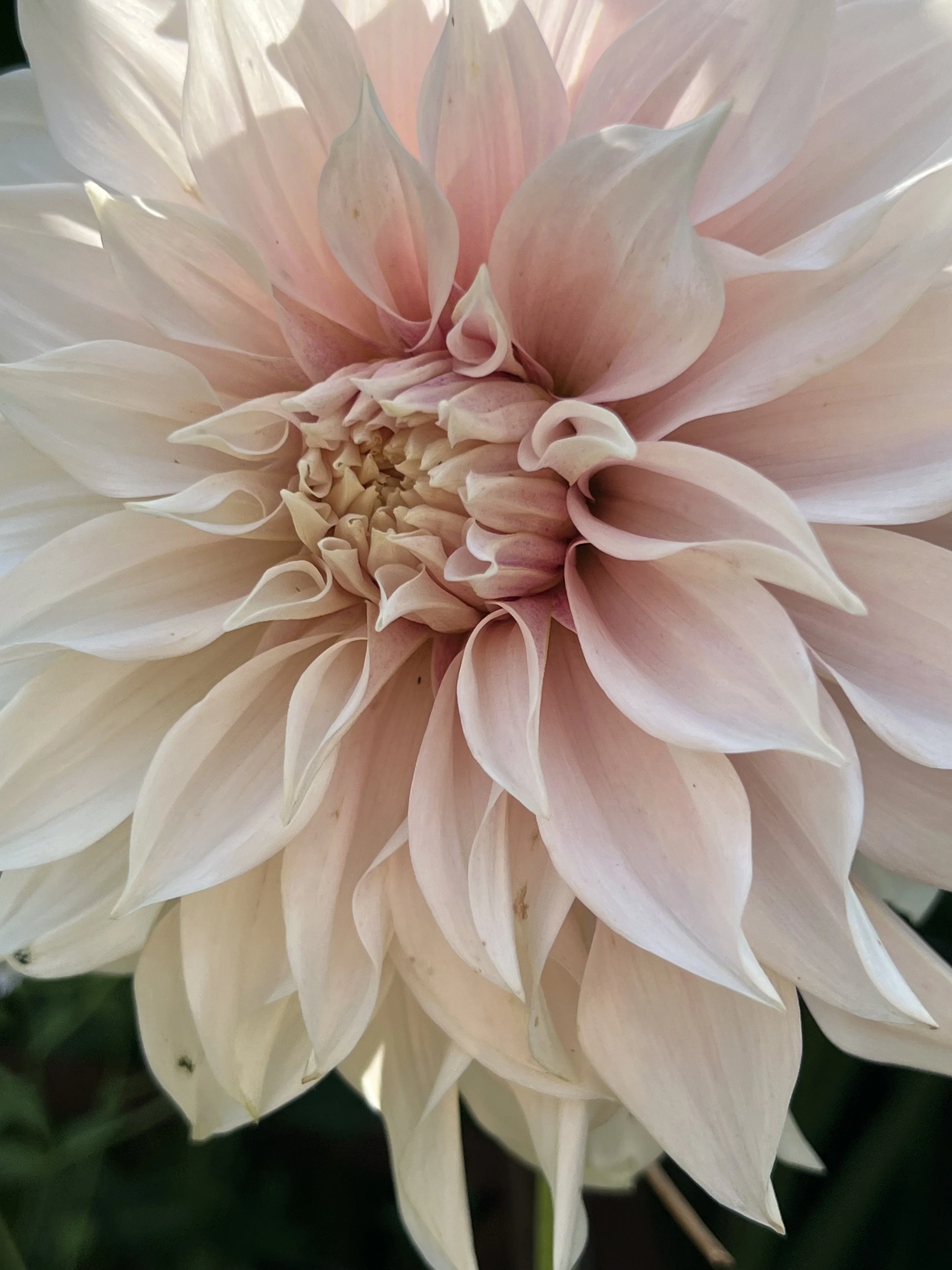
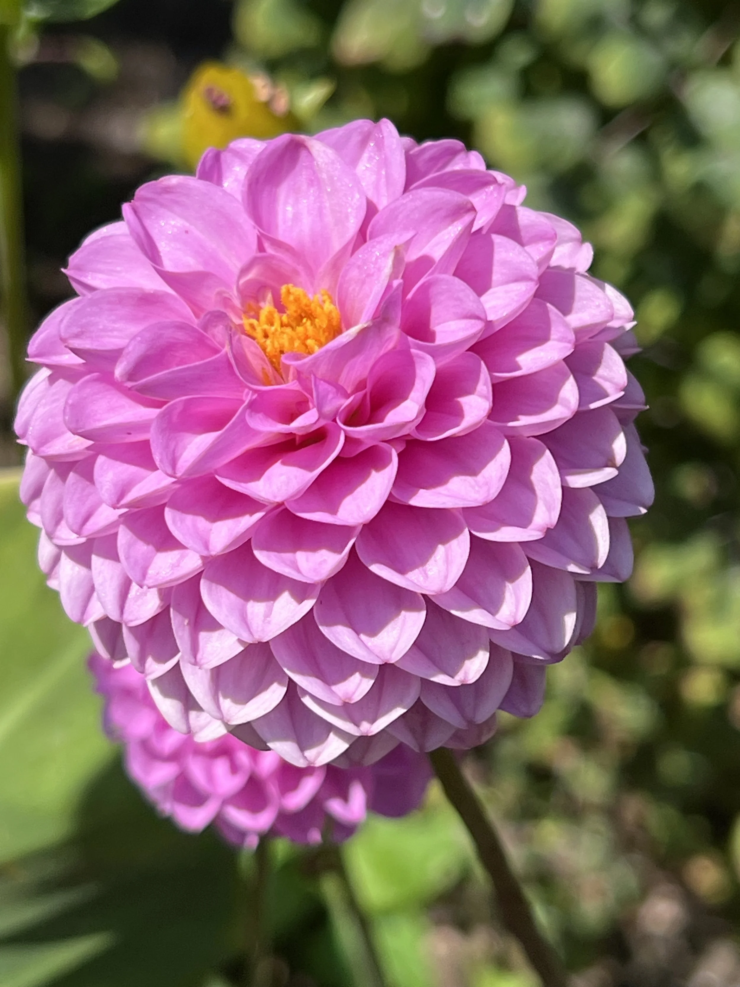
It was a hot day and the flowers were at their peak. So colorful and lush.
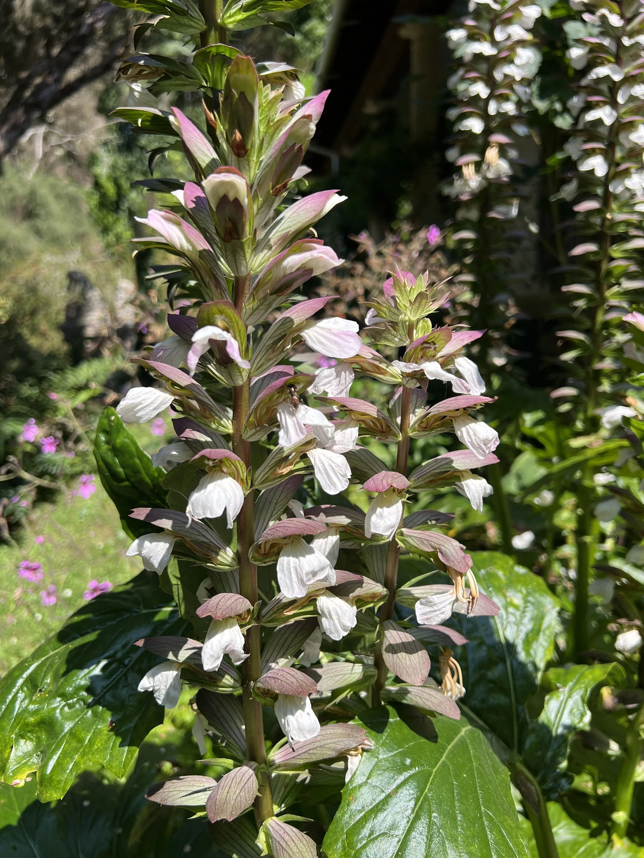
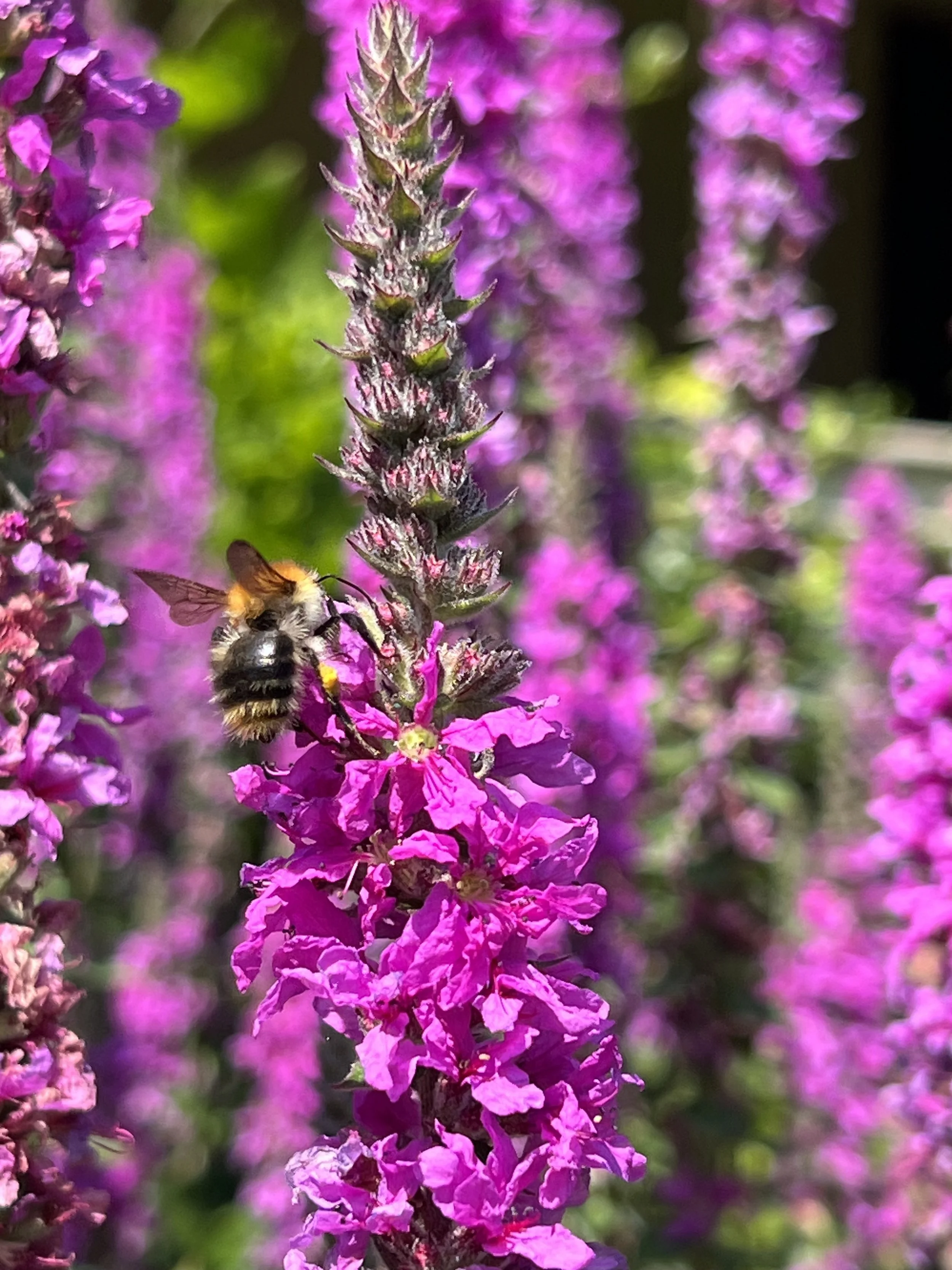
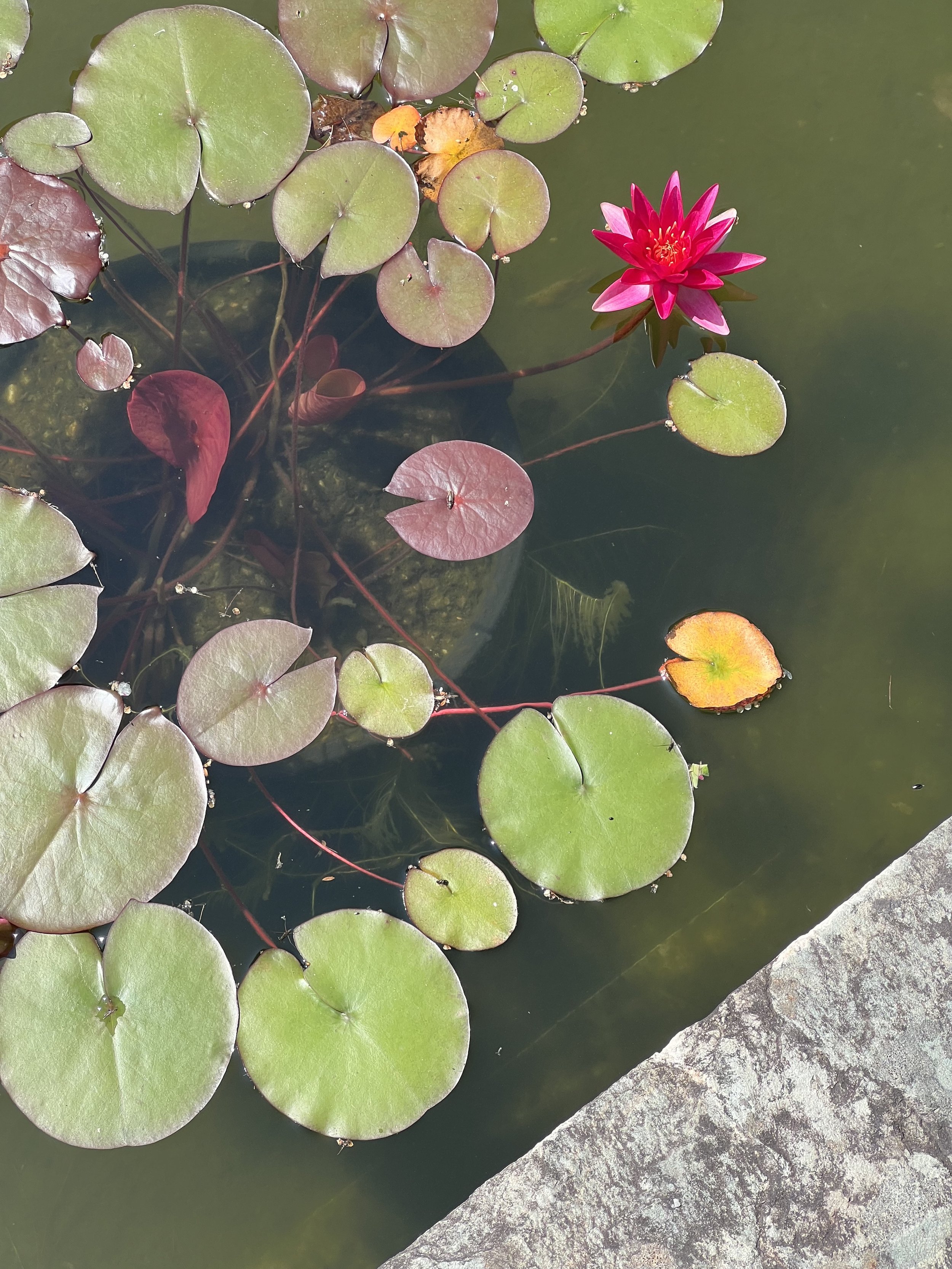
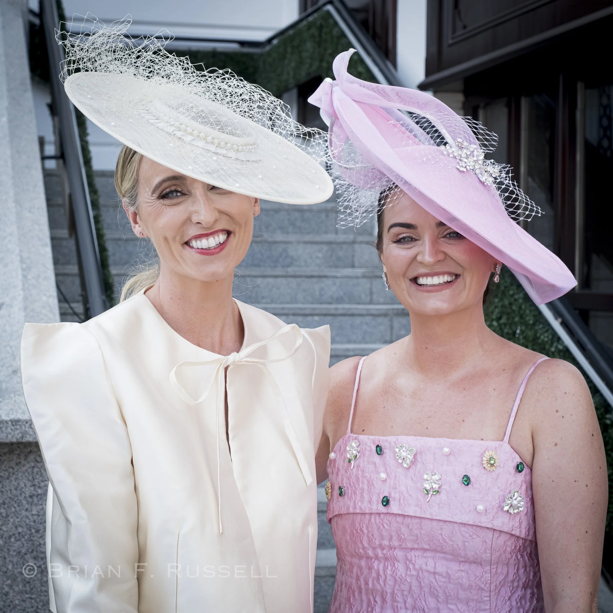
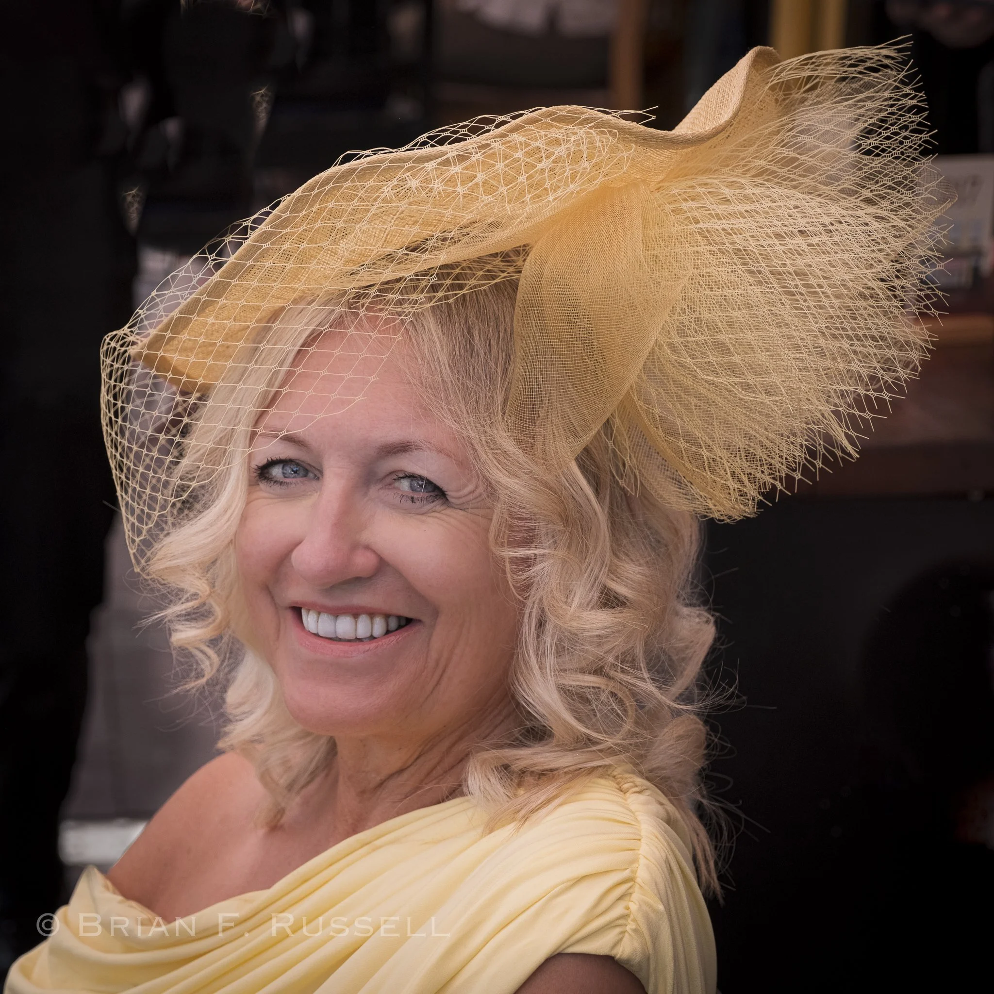
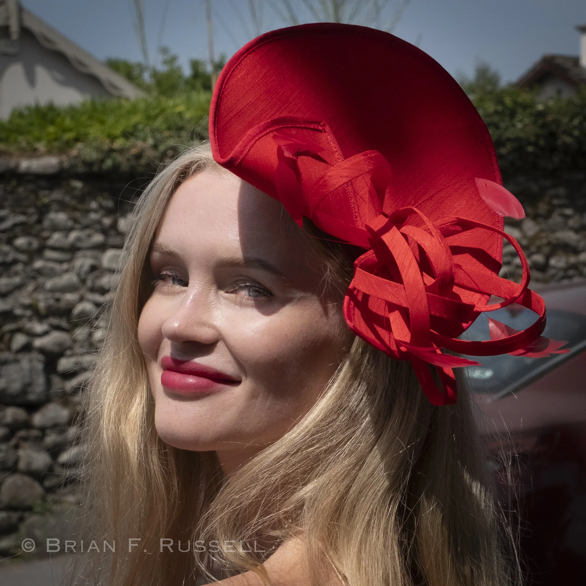
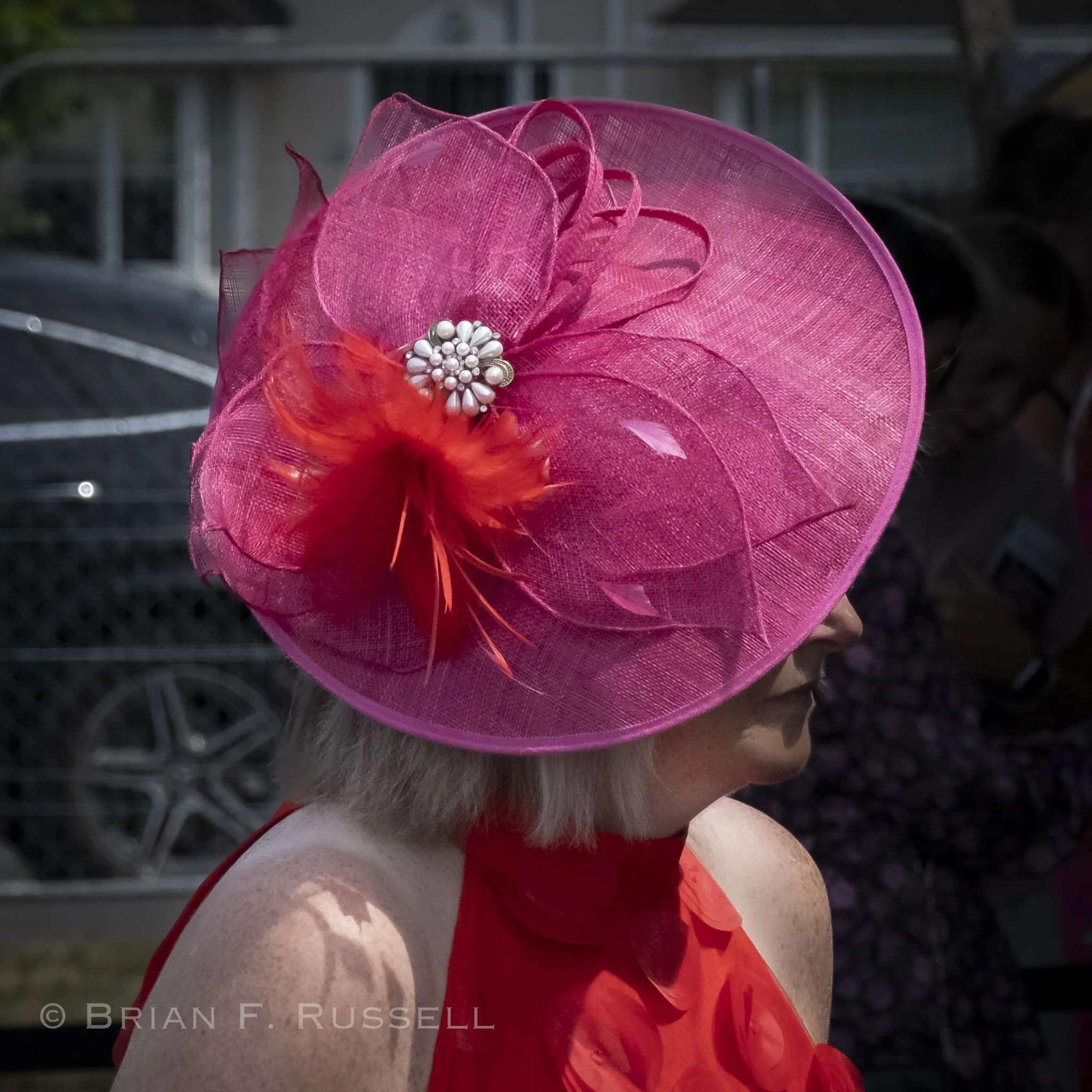
The following day we caught the bus from Glengarriff to Killarney. The bus route passes through National forest and Killarney National Park. It gave us a chance for us to see the inland landscape, crossing the mountains we can only glimpse from the shoreline. A wildfire was currently burning in the hills and the road had been closed the previous day, so we were a little worried the fire may flare up and trap us in Killarney. Fortunately that was not the case. We arrived late morning and wandered into town. We were a little confused at first as we saw a number of very well dressed ladies, with hats and fine summer frocks. It turned out it was Ladies Day at the Killarney racetrack. Well, that could not be ignored, so off we went.
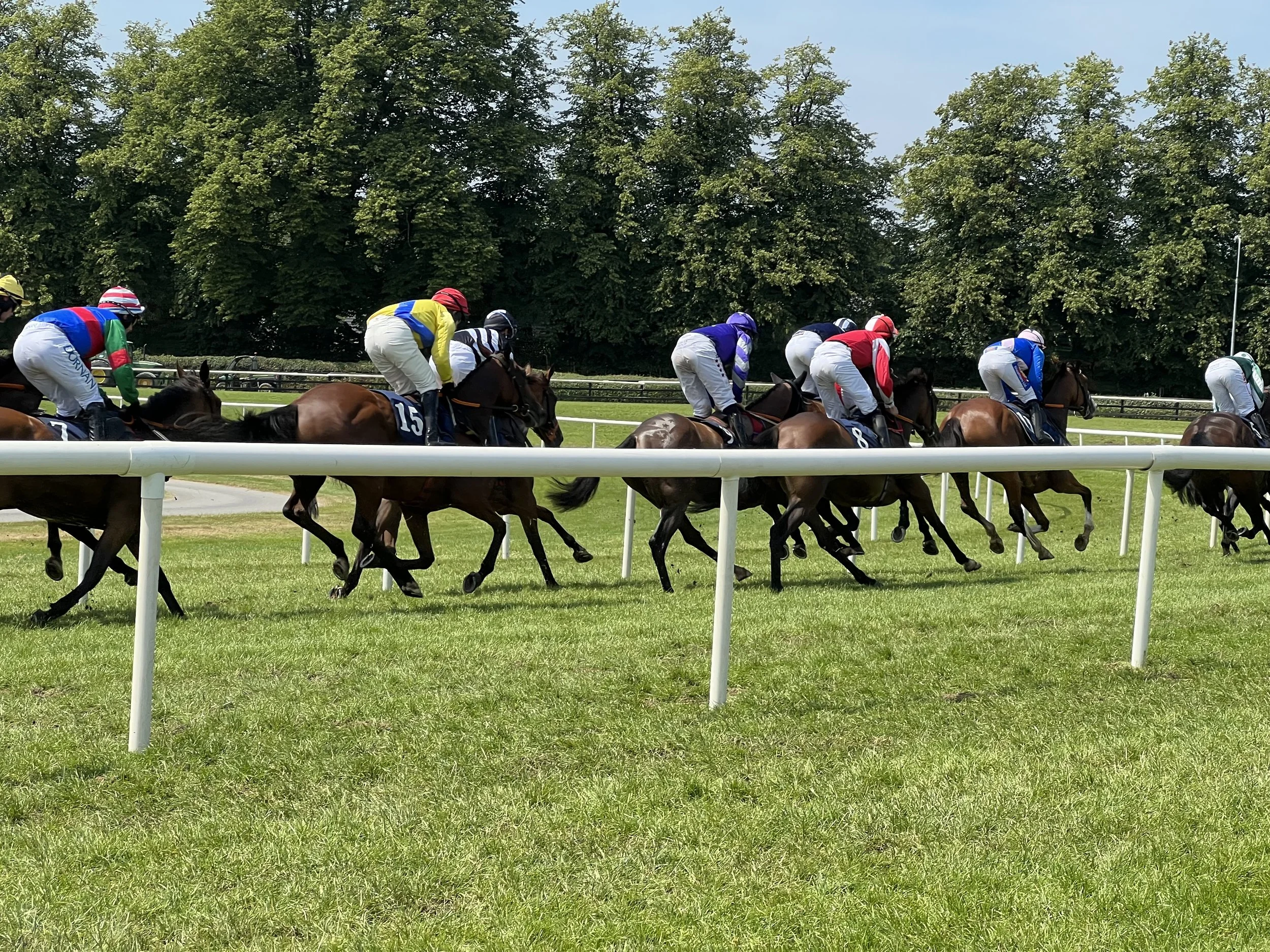
A day at the races.
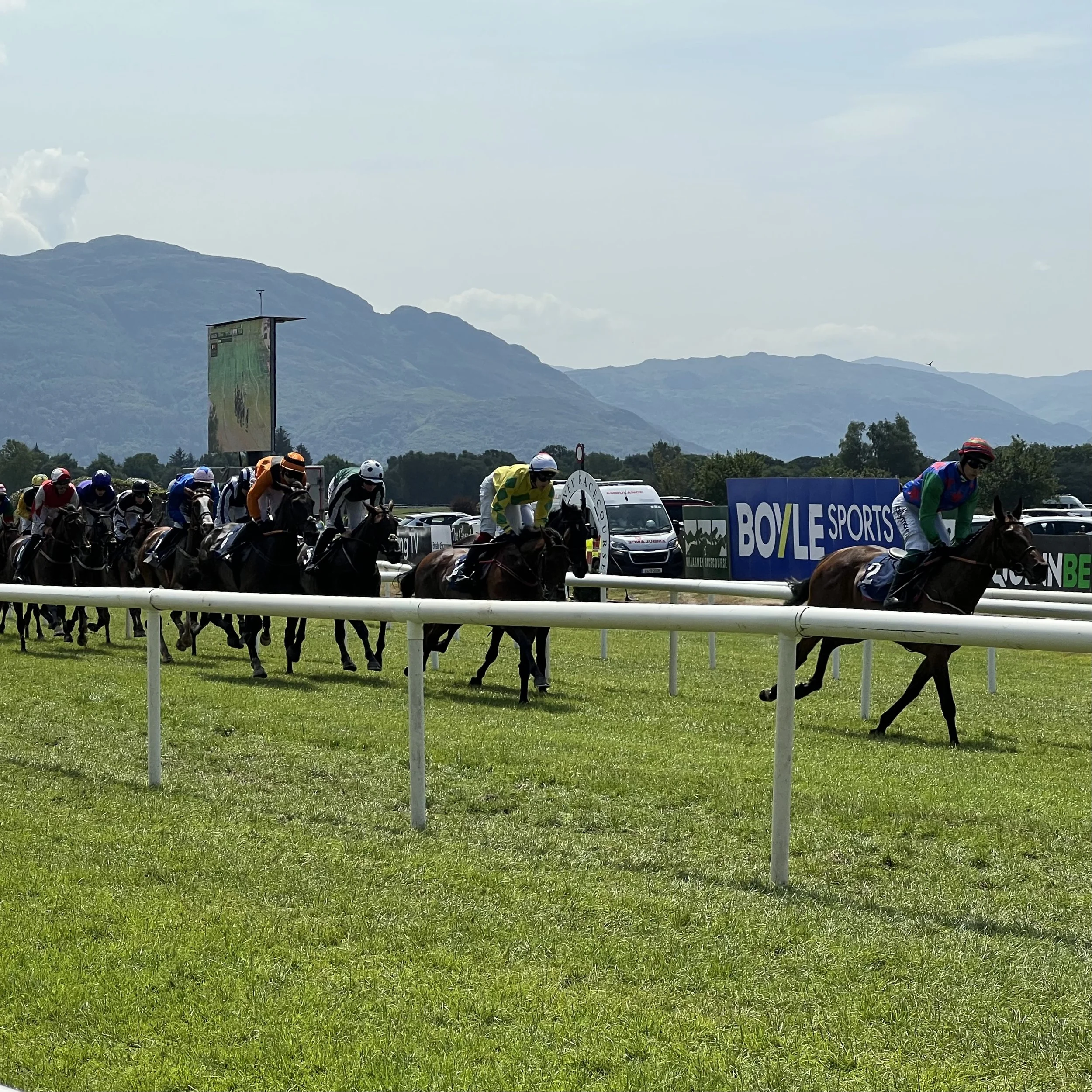
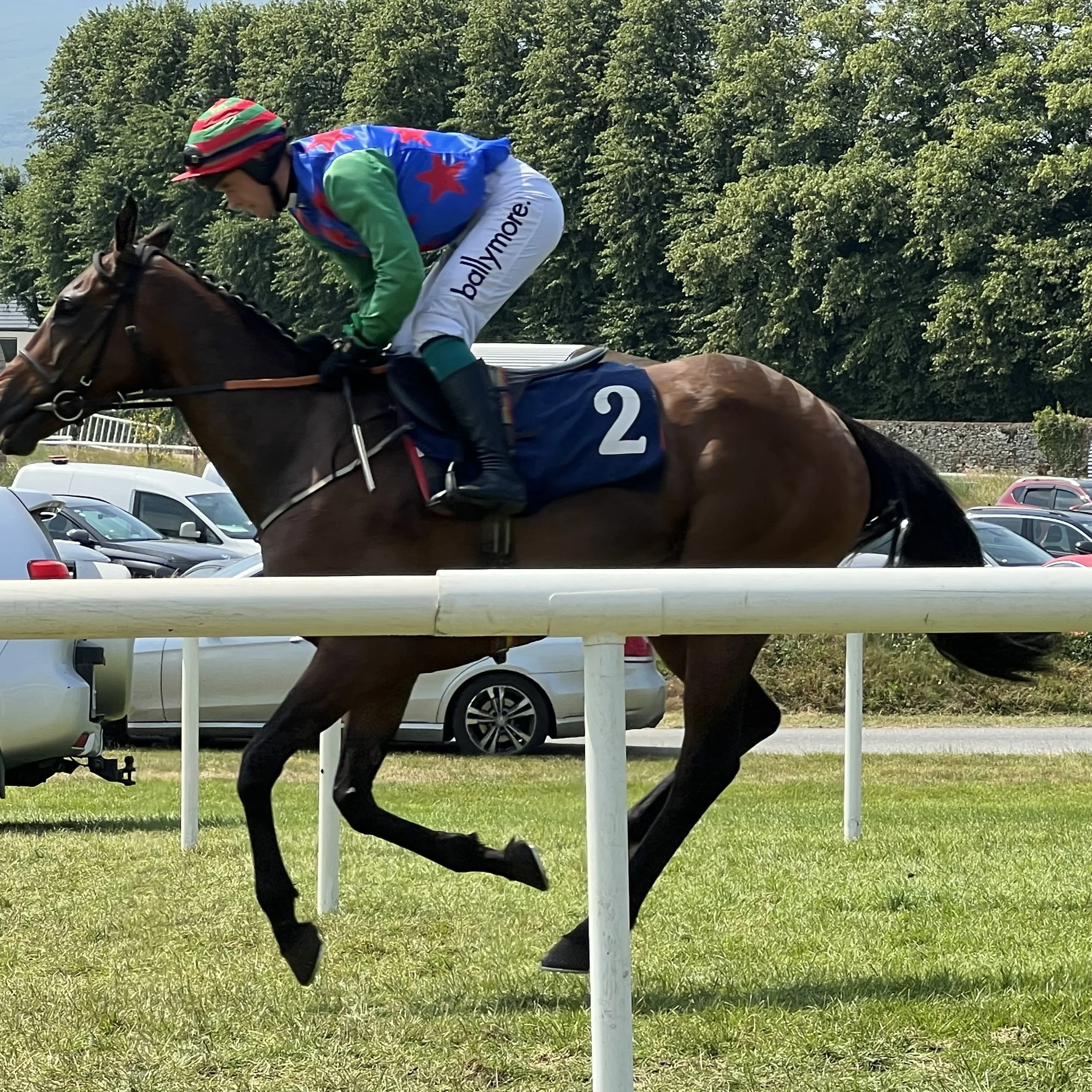
The hats and outfits were actually far more interesting than the racing. After all that getting dressed up the ladies were quite keen to have their photos taken.
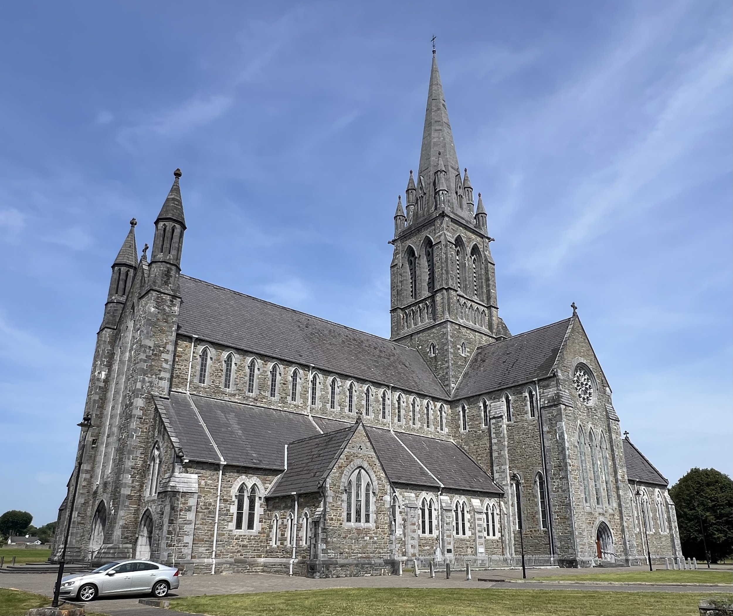
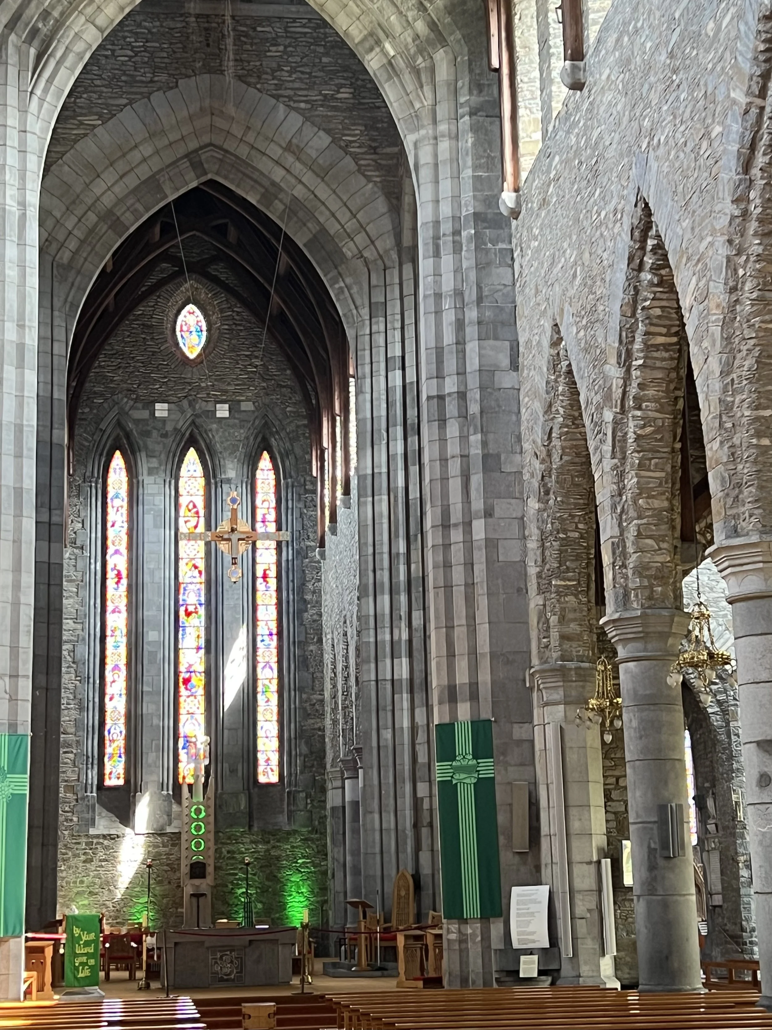
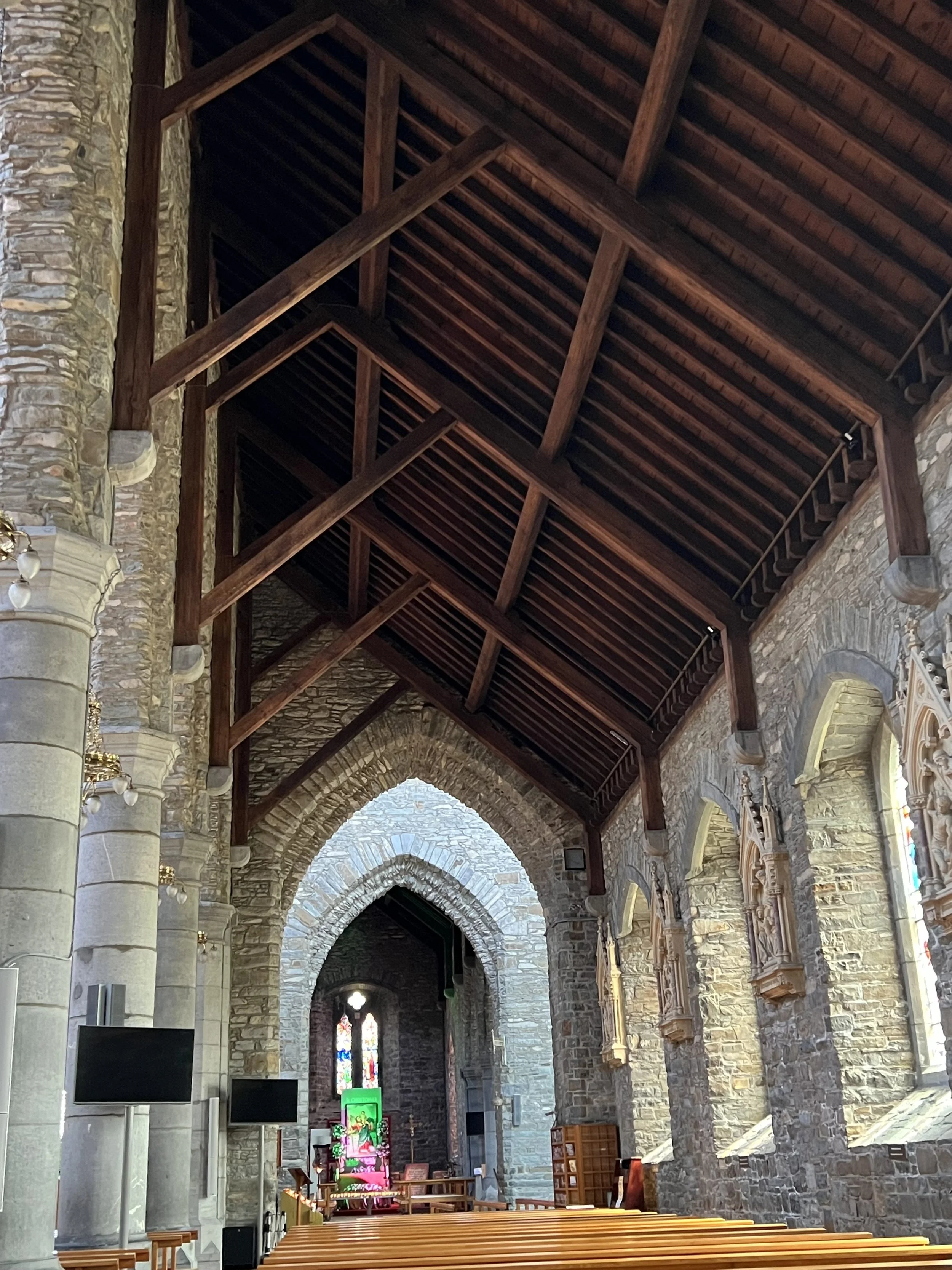
The rest of Killarney was mostly bars and tourist shops, but the cathedral was lovely. It is a relatively recent build, with exposed beam ceiling, stone walls and lovely windows.
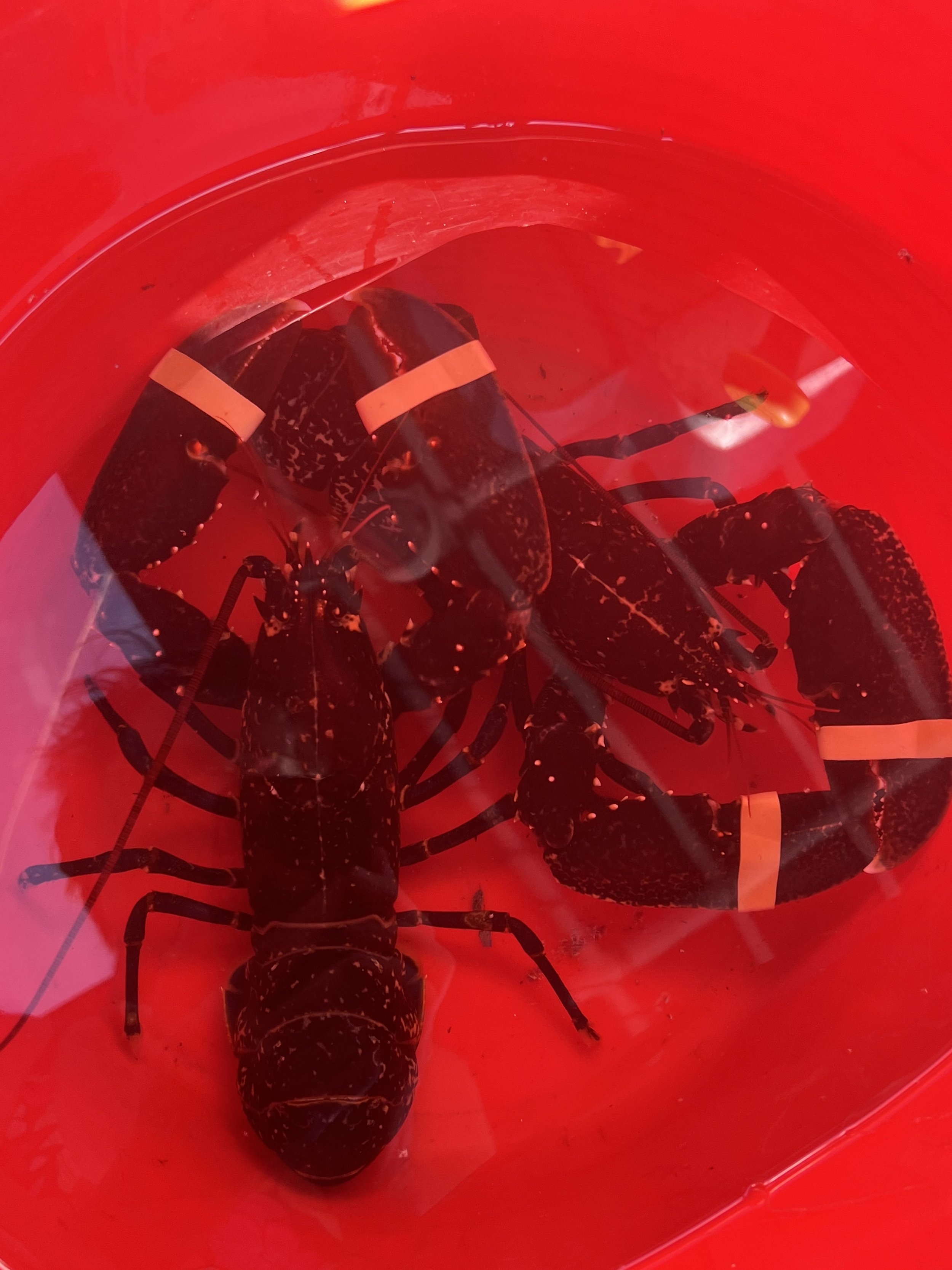
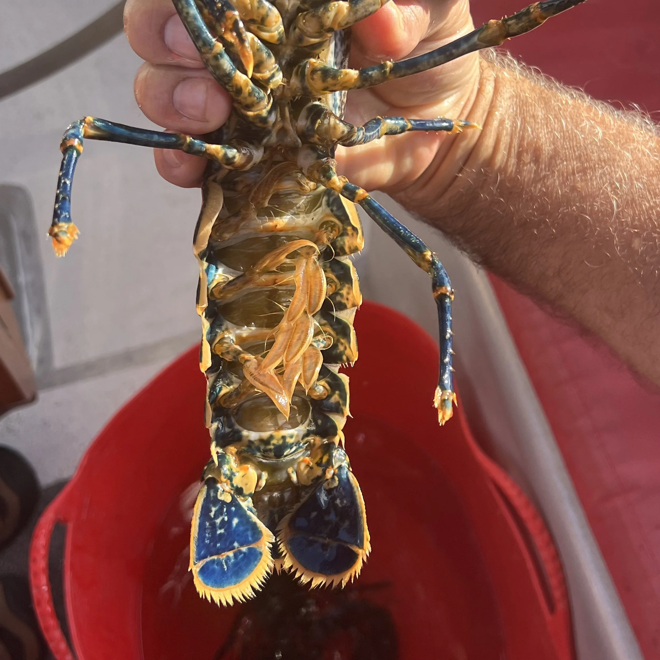
The ferry operator where we were anchored in Glengarriff, was also a source of fresh local lobster. We purchased a couple - most interesting, small with a blue tail, quite different from any lobster we have seen before.
We finally pulled up our anchor and moved toward the entrance of Bantry Bay in anticipation of leaving in the next couple of days. We anchored in Lawrence Cove on the north coast of Bere Island. It had been an important and strategic naval base during the Napoleonic wars in the 1800’s. In 1921, during the Irish war of Independence, the British used the island barracks to imprison Irish Republican Army agitators.
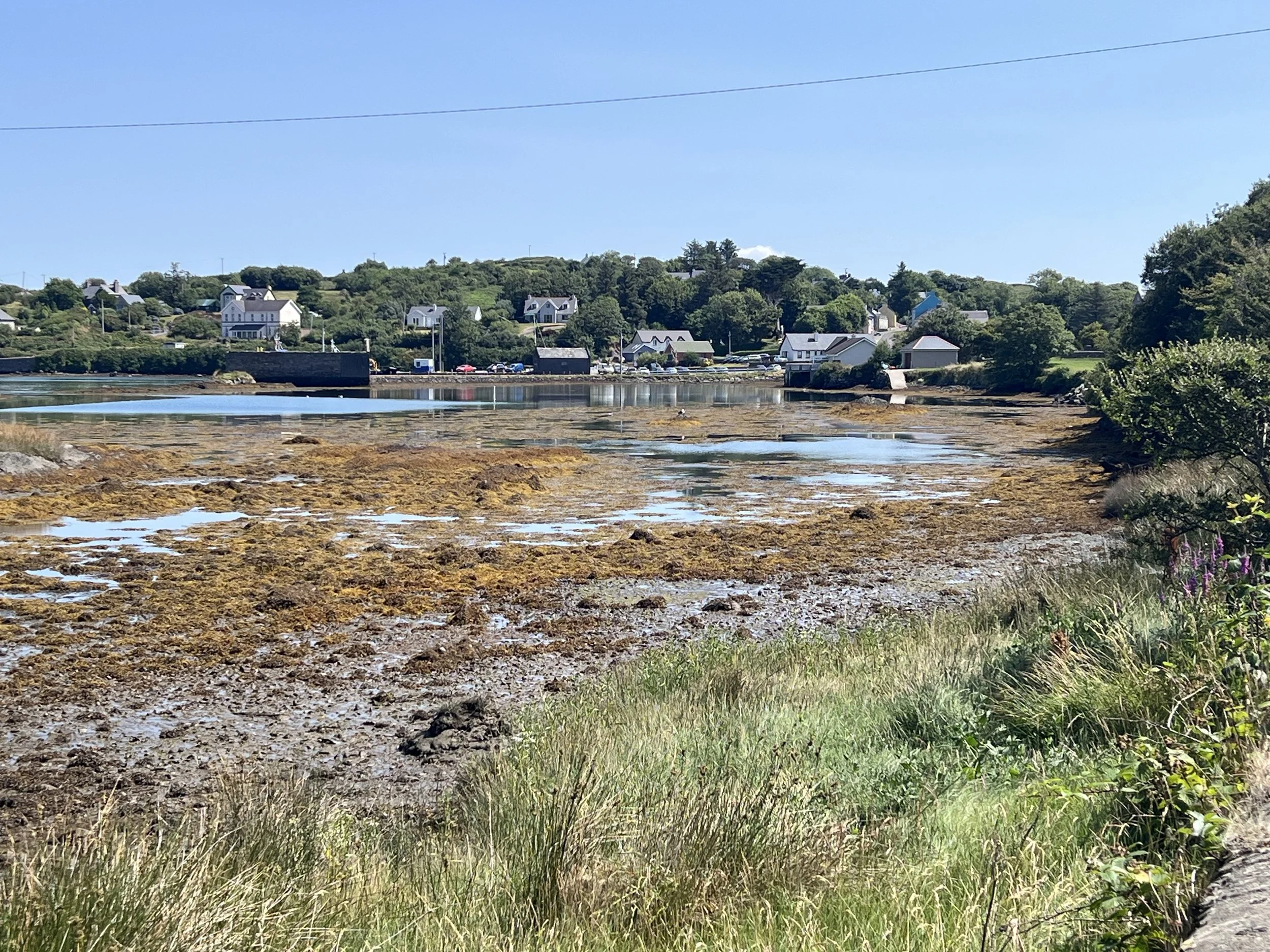
Lawrence Cove at low water.
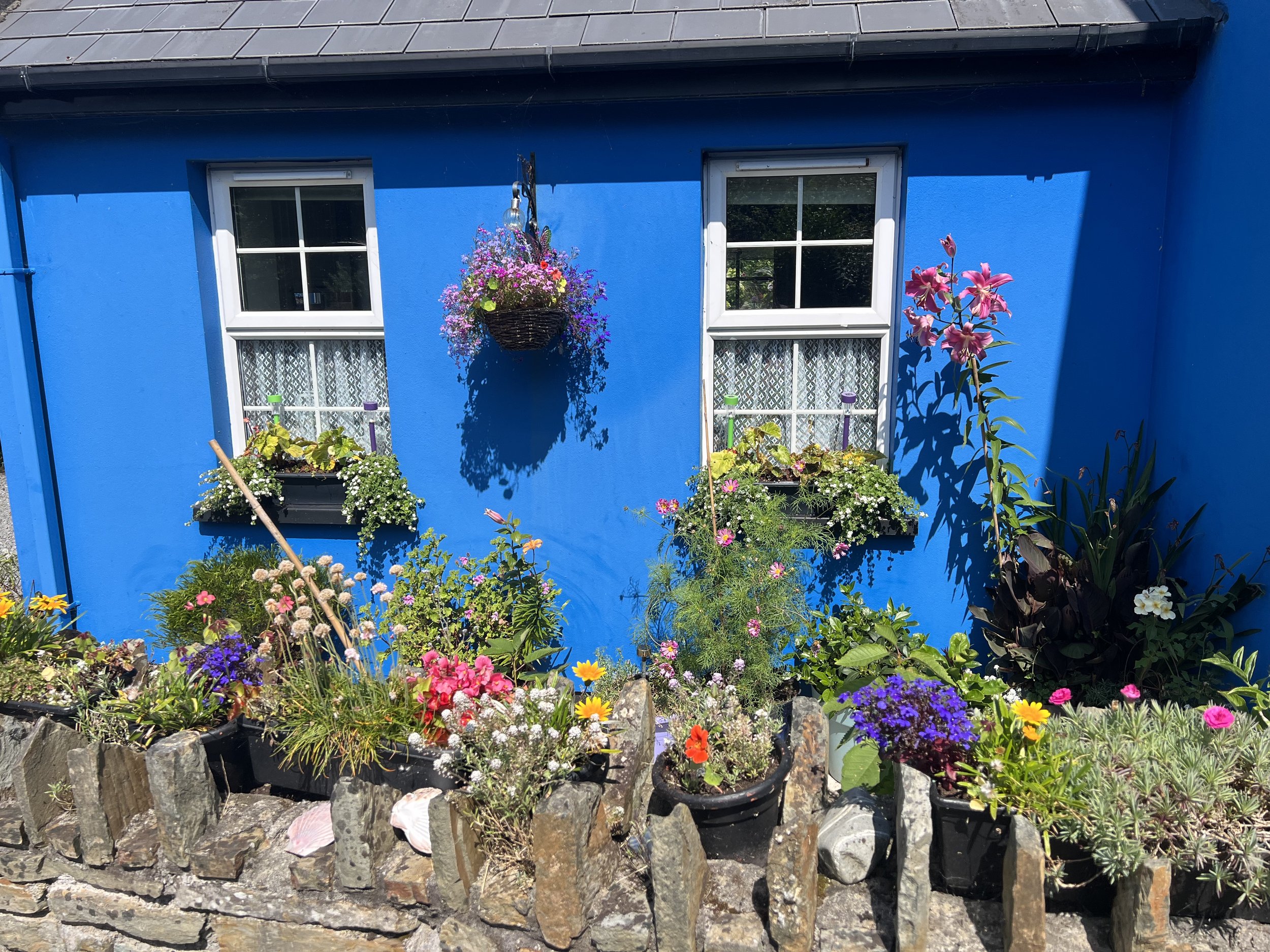
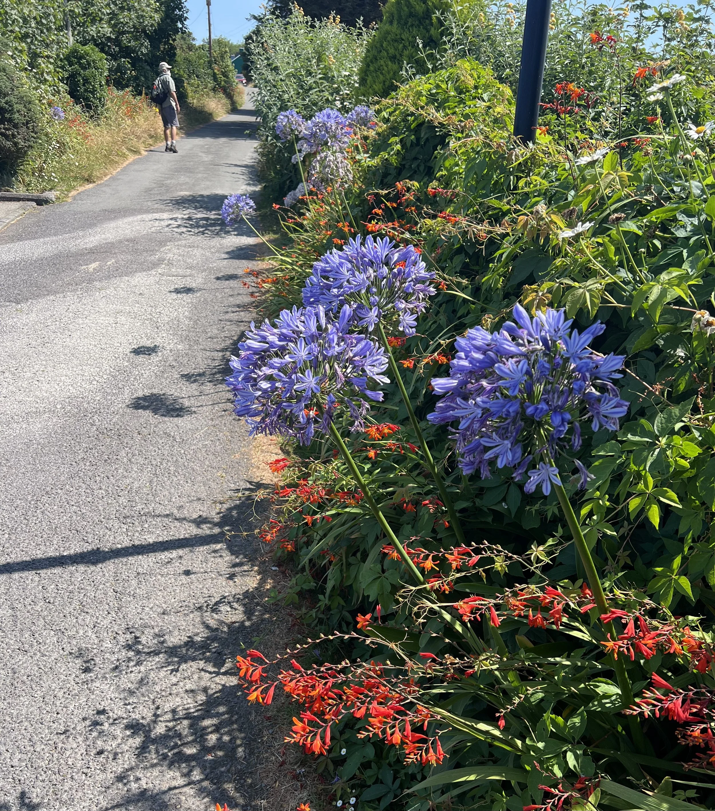
The following day we went on a hike around the eastern end of the island. The colorful houses and invasive but pretty hedgerow flowers made for a delightful walk.
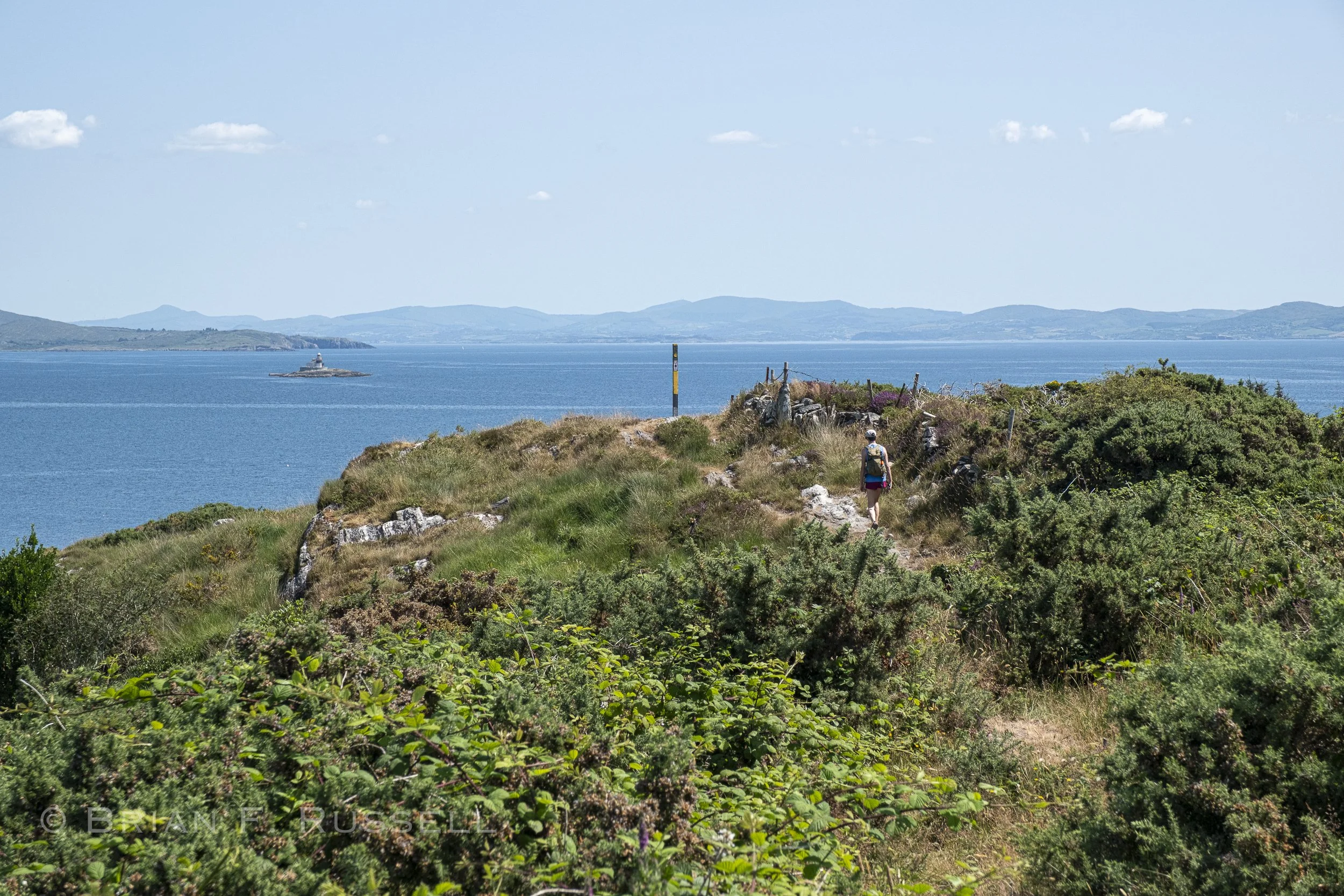
Looking east down Bantry Bay.
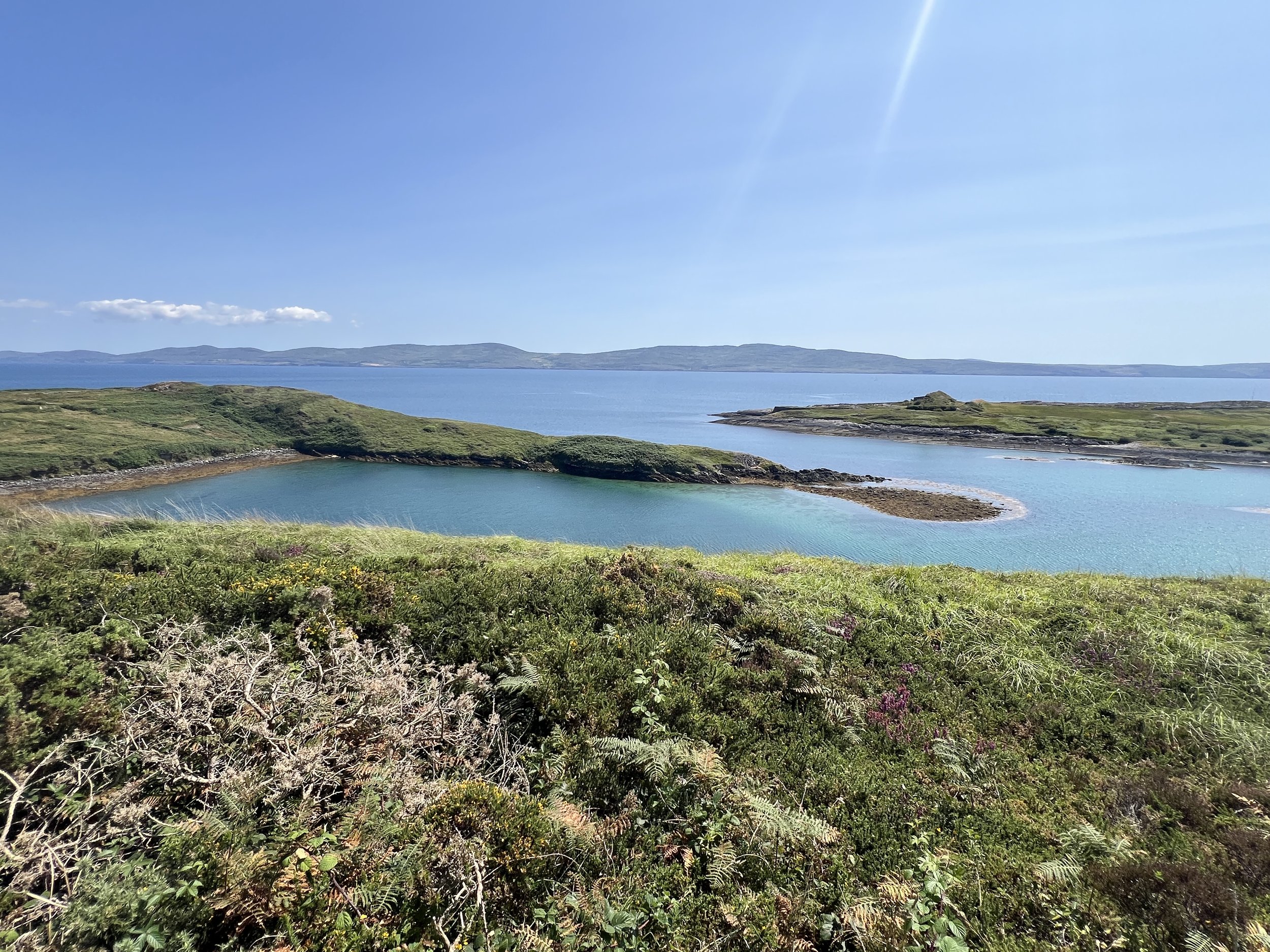
Looking south across Bantry Bay.
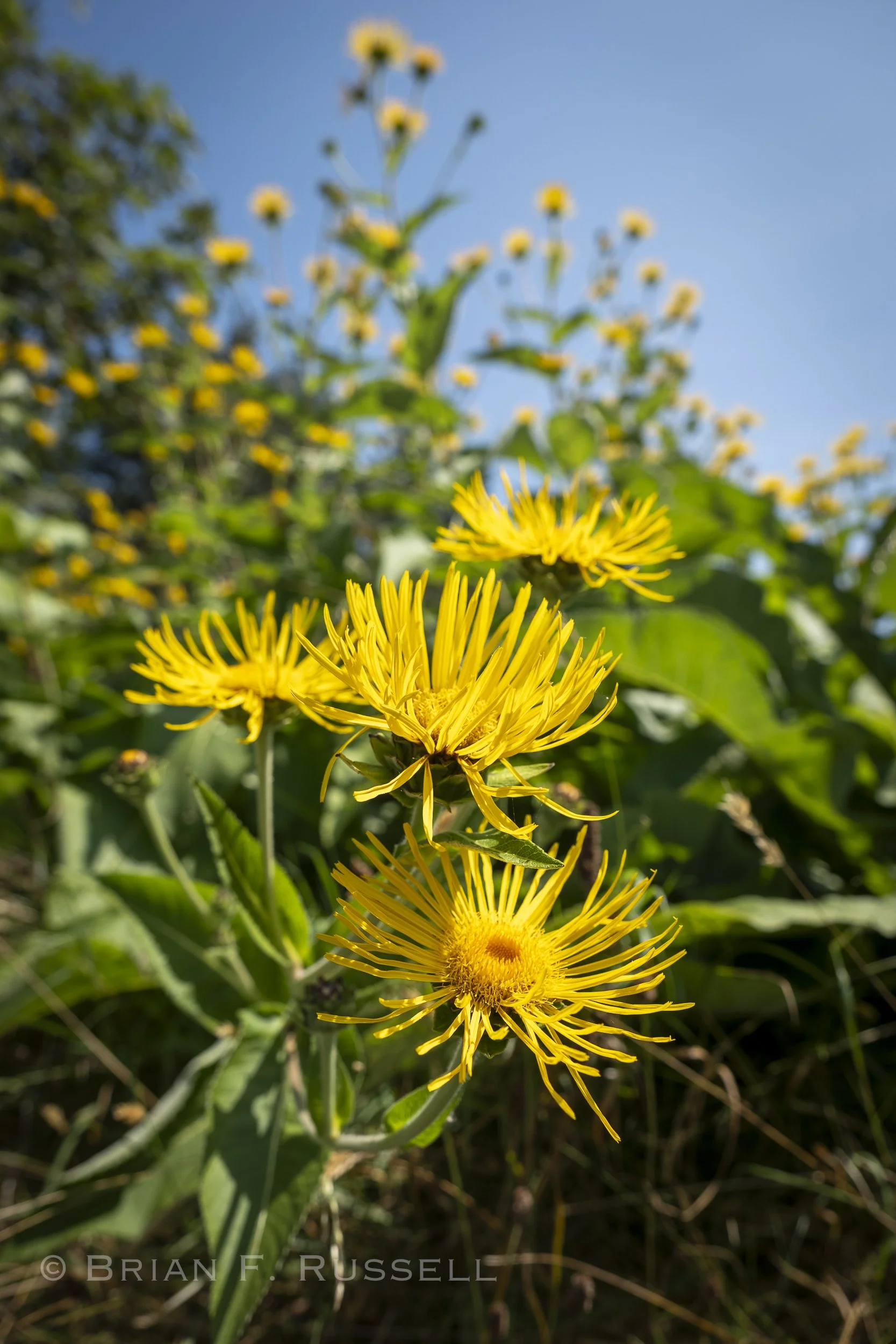
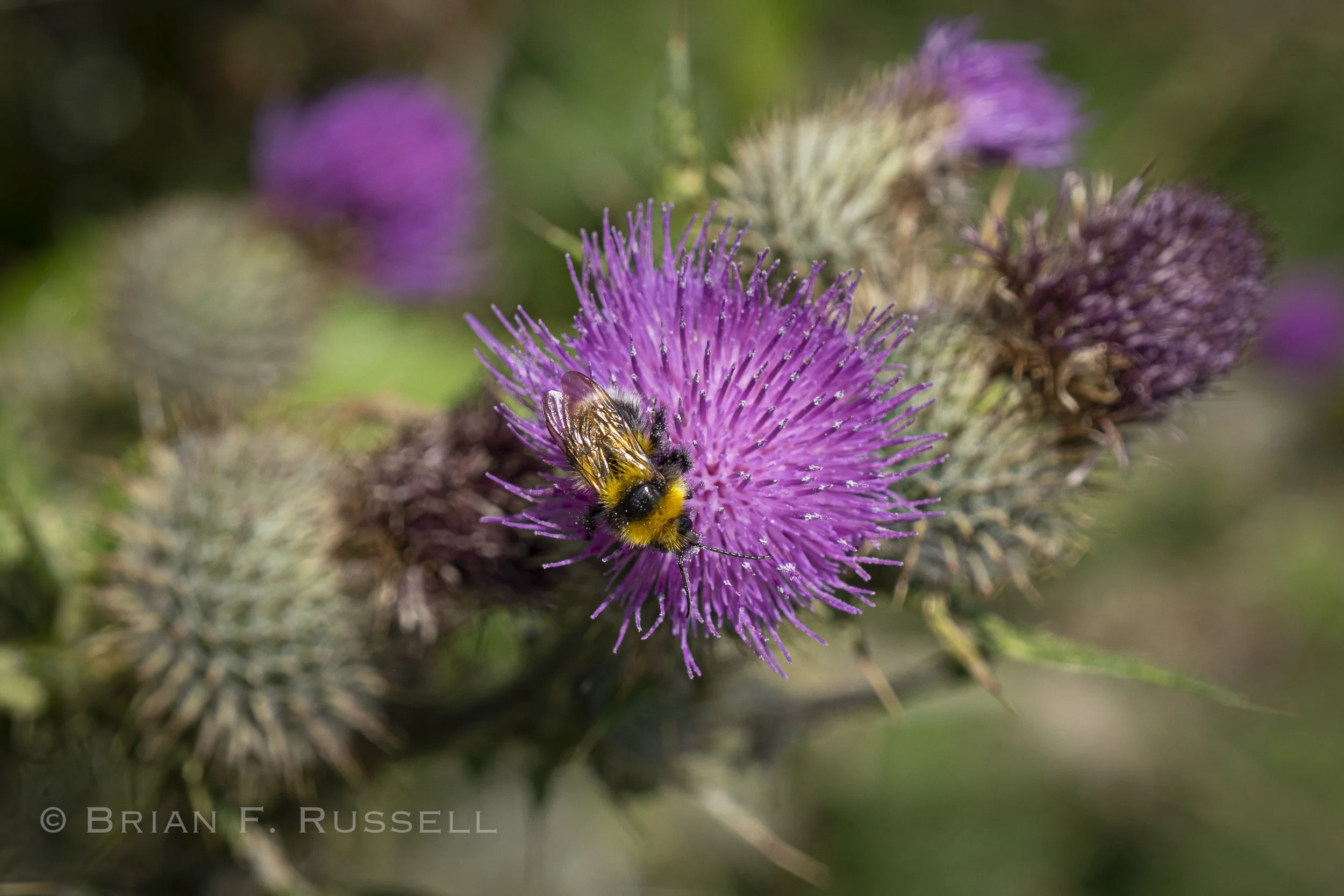
The next day we left and headed out, past imposing cliffs at the entrance to the bay. We passed by the Cow and Bull rocks, just offshore on our way to Derrynane Bay.
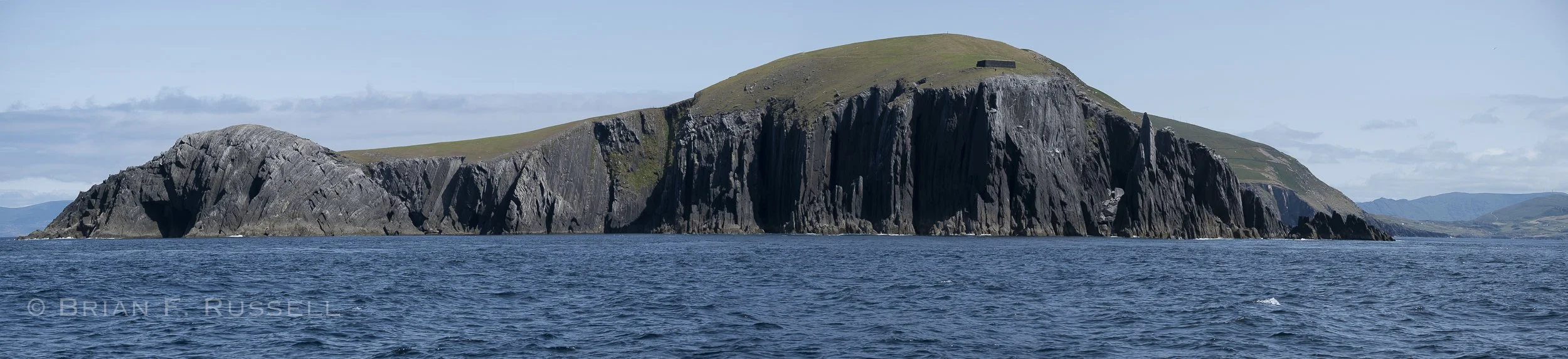
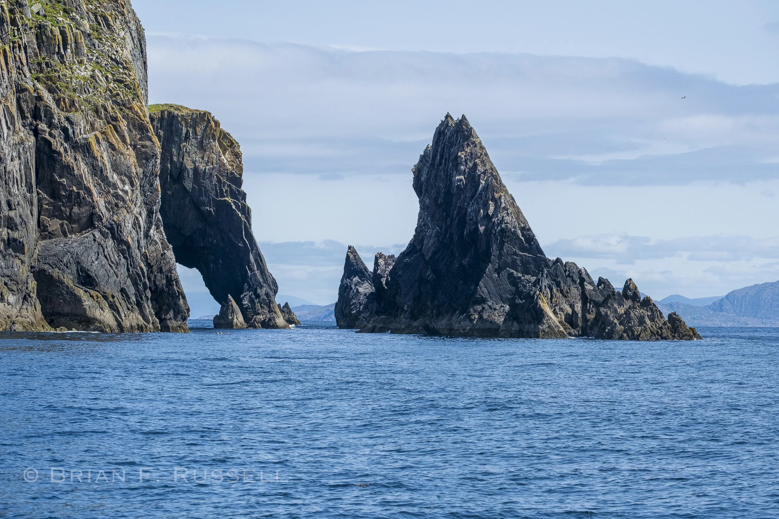
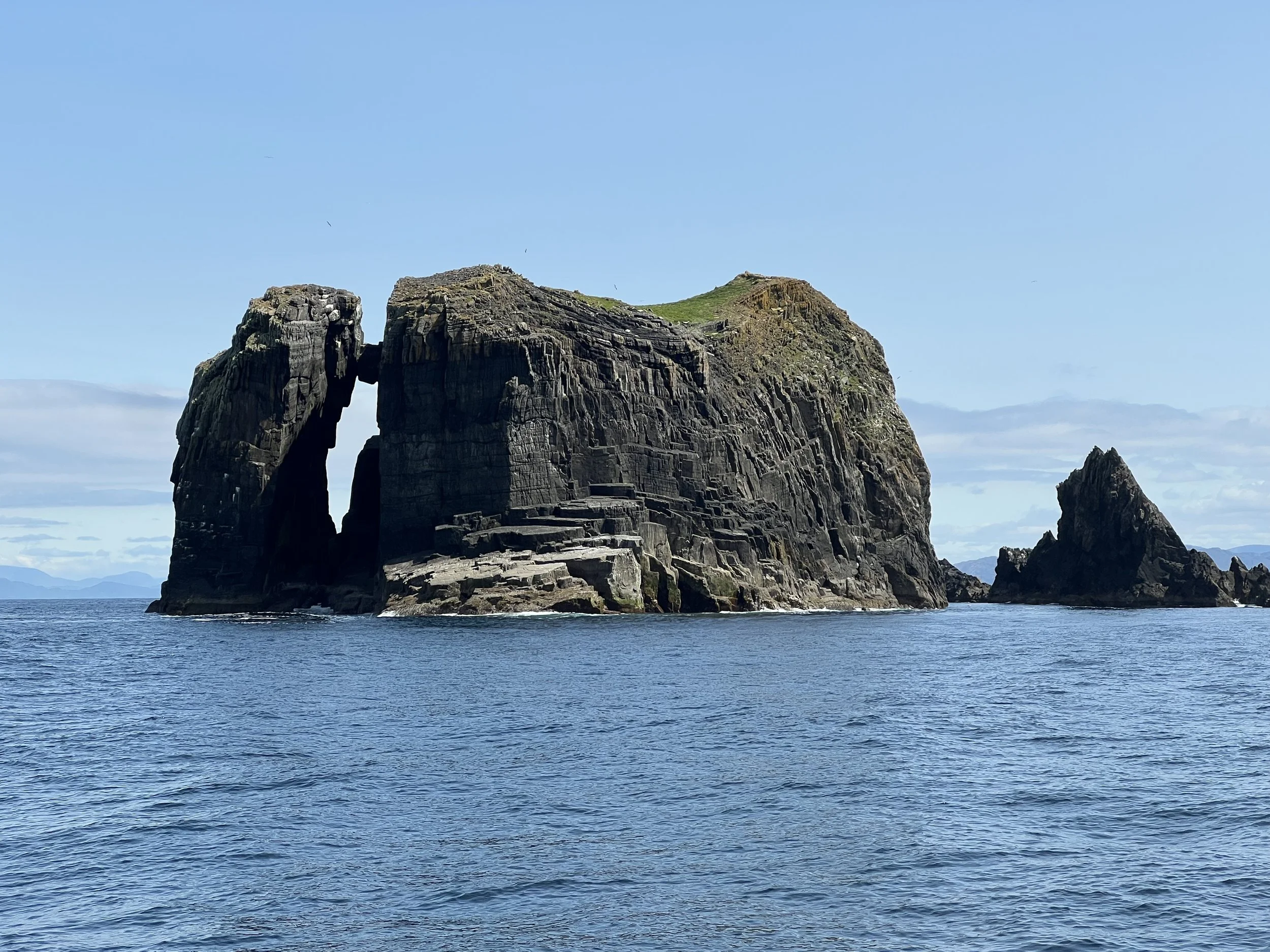
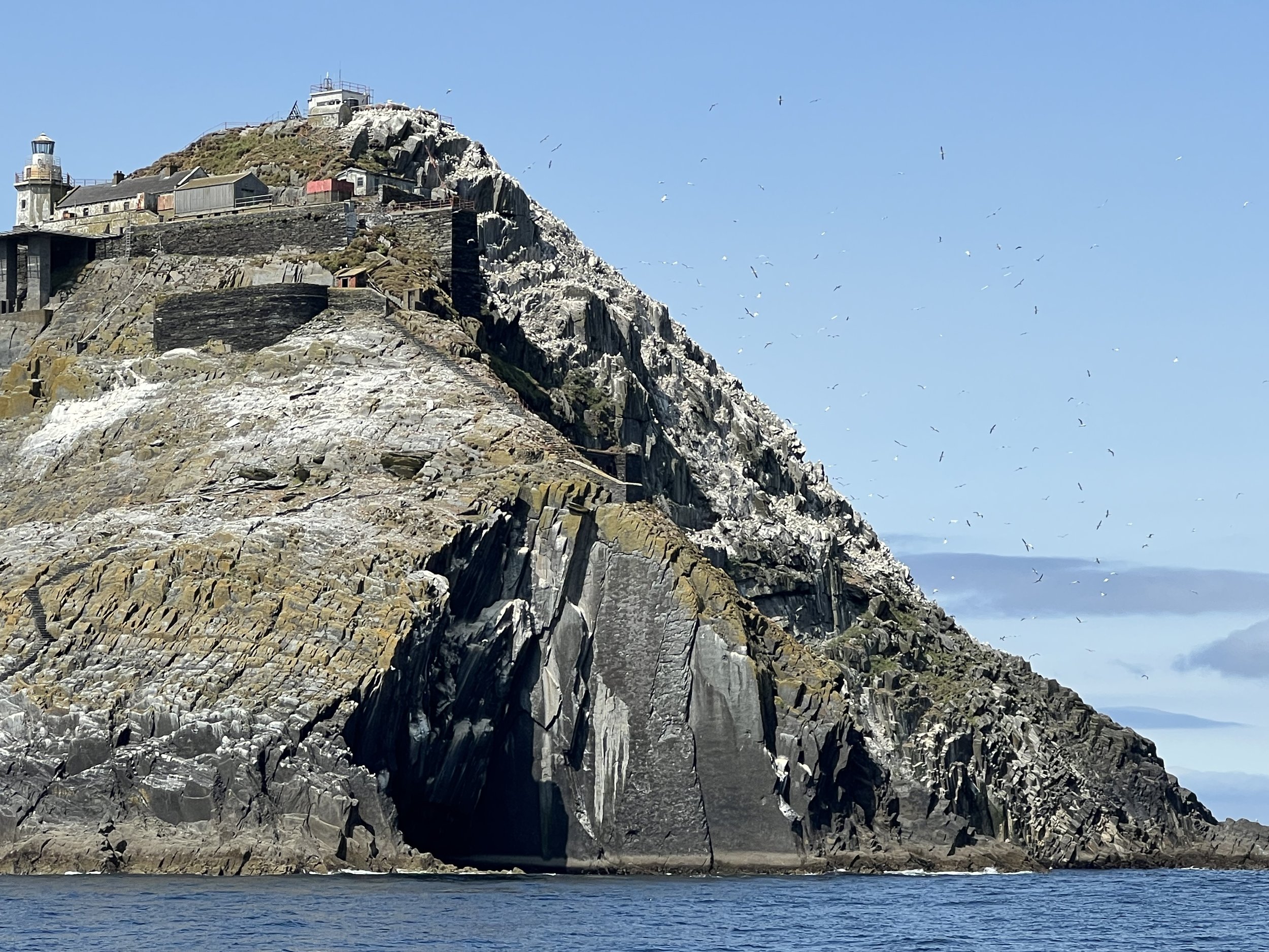
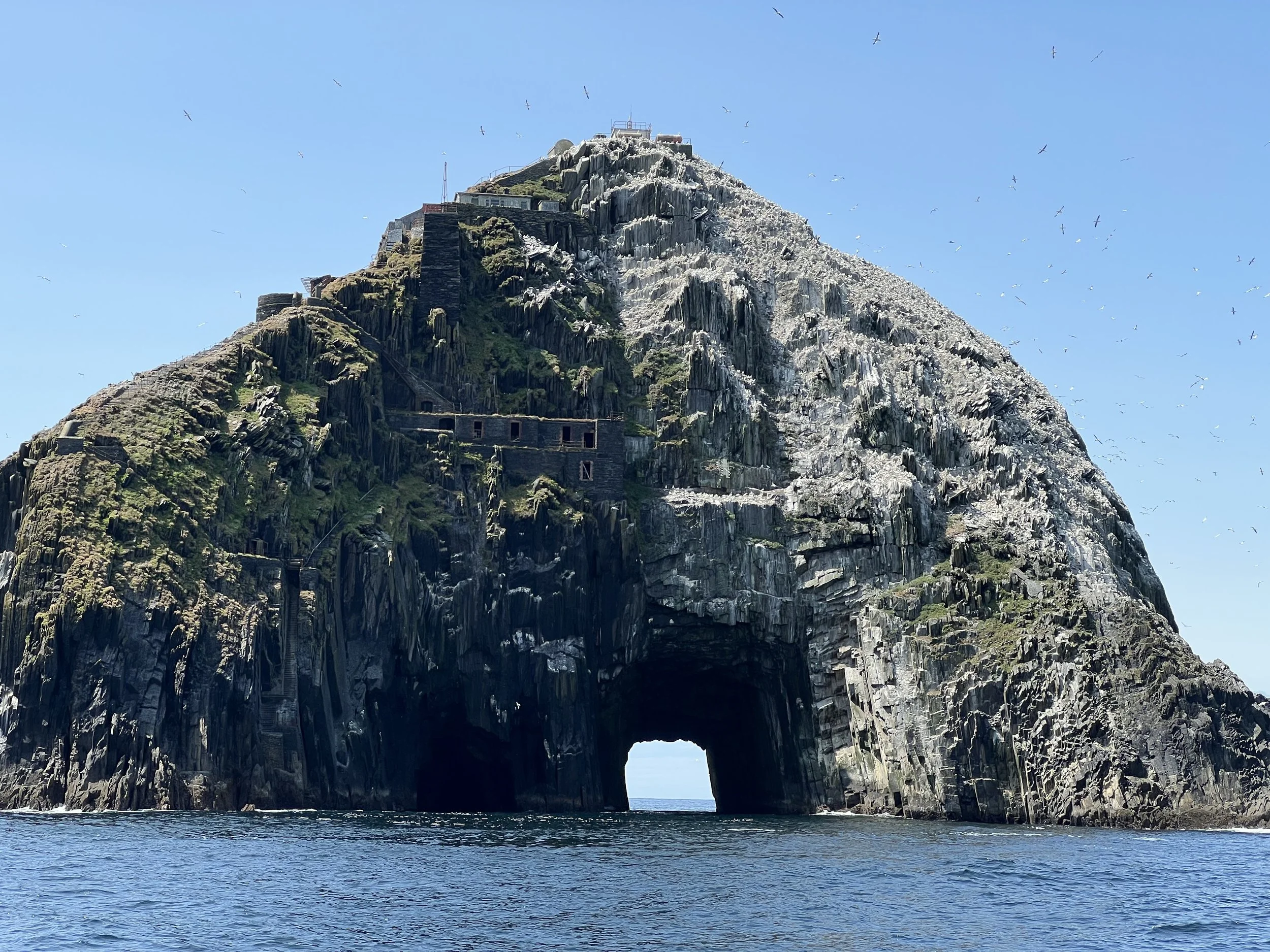
The Cow rock is uninhabited (top two photos) while the the Bull rock, has a manned lighthouse, with 2 helipads. The gannets that also live on the island took over the first helipad, so a second had to be built.
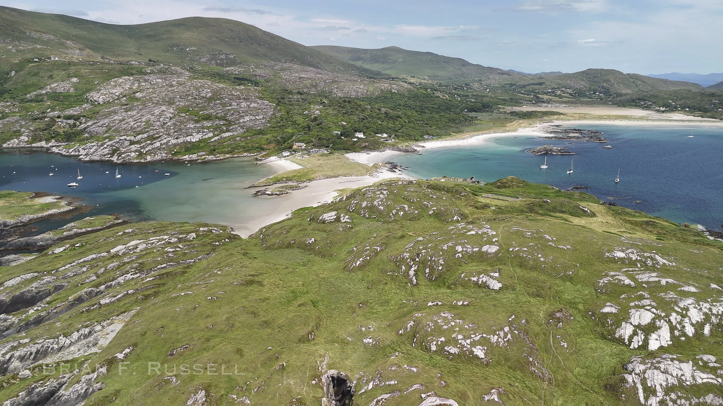
Derrynane Bay
Derrynane Bay was a nice stop for a couple of days. The beautiful sandy beach was quite popular with the locals during the warm spell of weather we were enjoying. On the peninsula there was a small ruined churchyard with graves, both inside and outside the chapel walls. The views from the peak were spectacular.
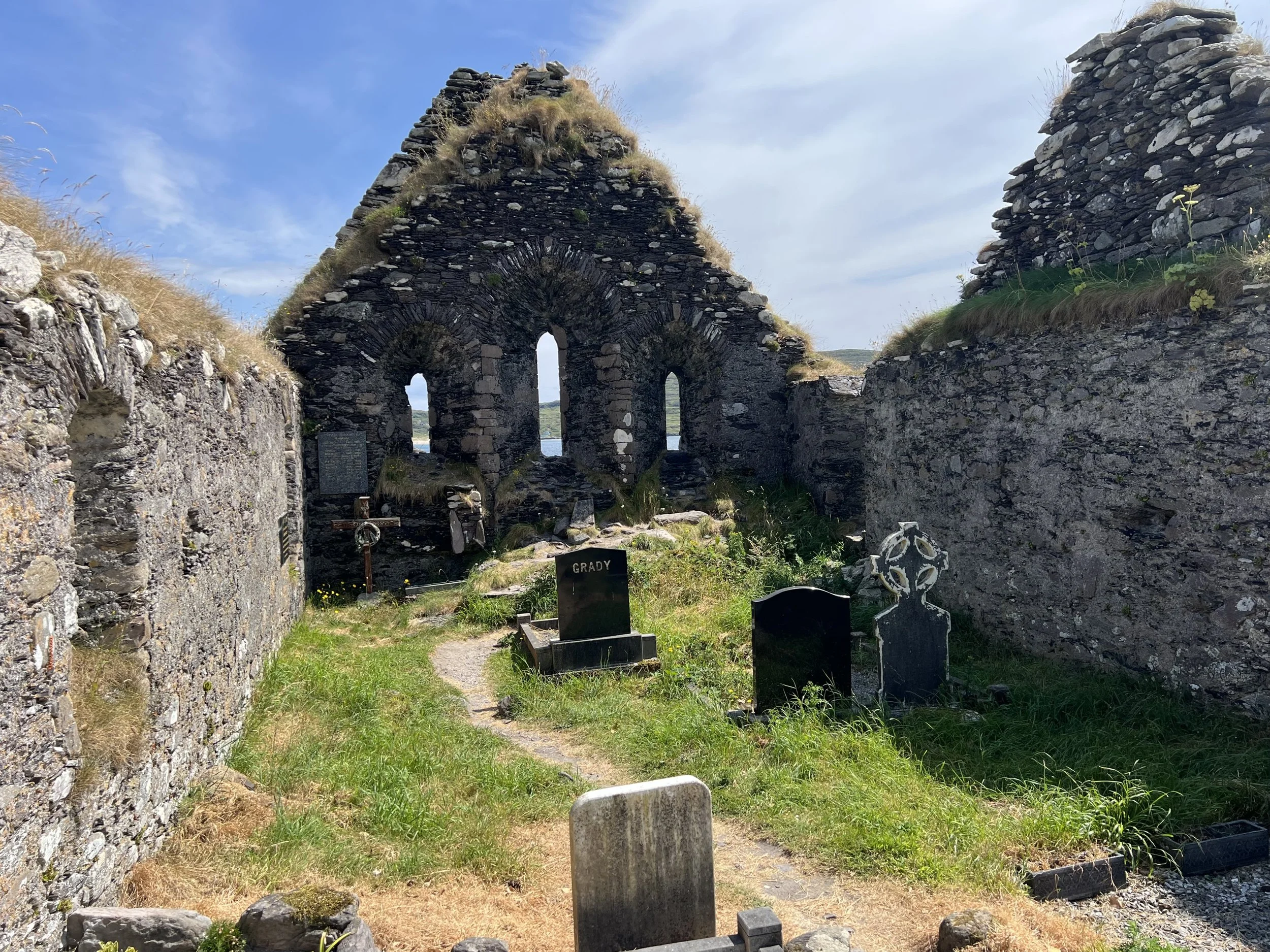
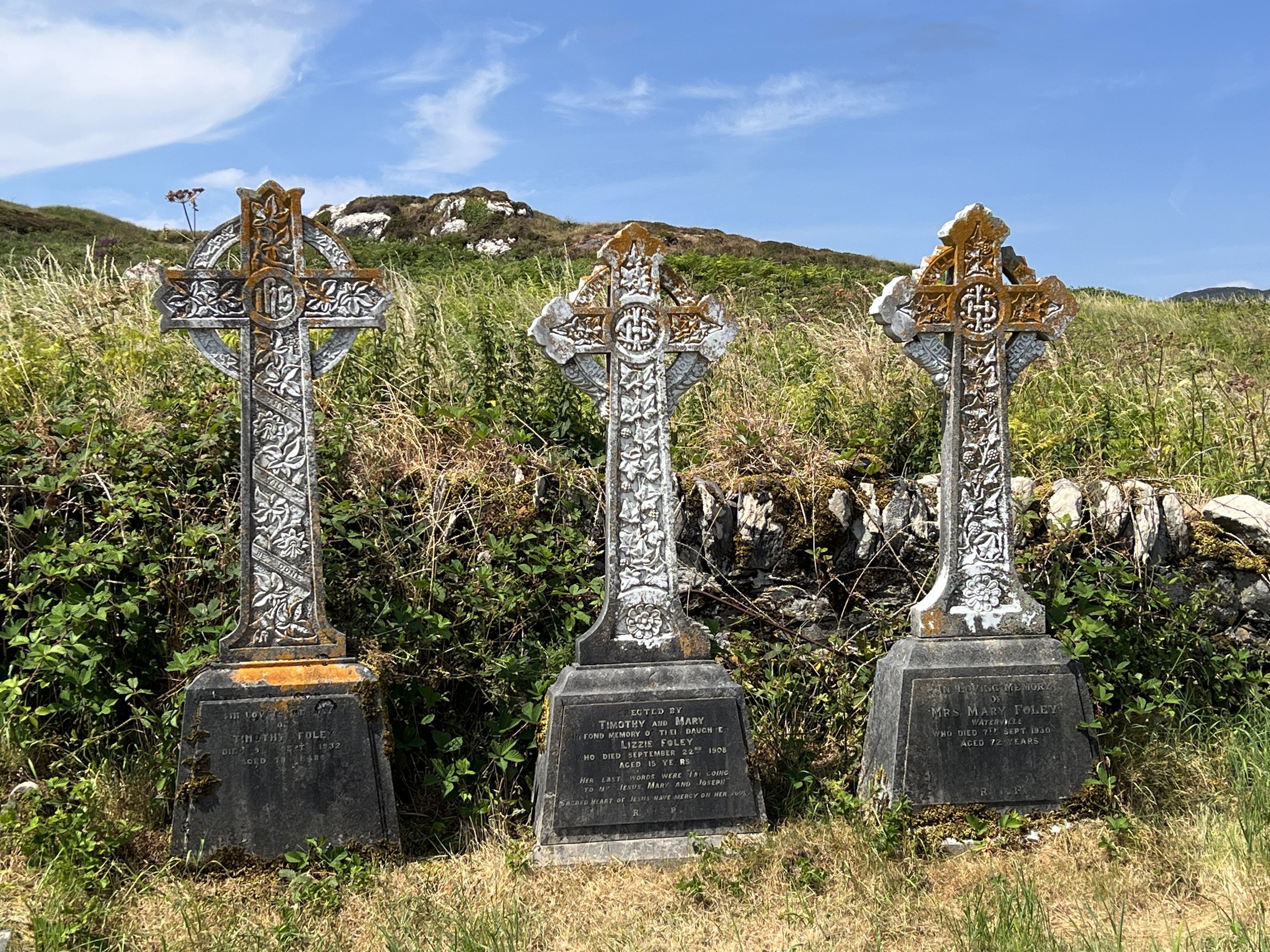
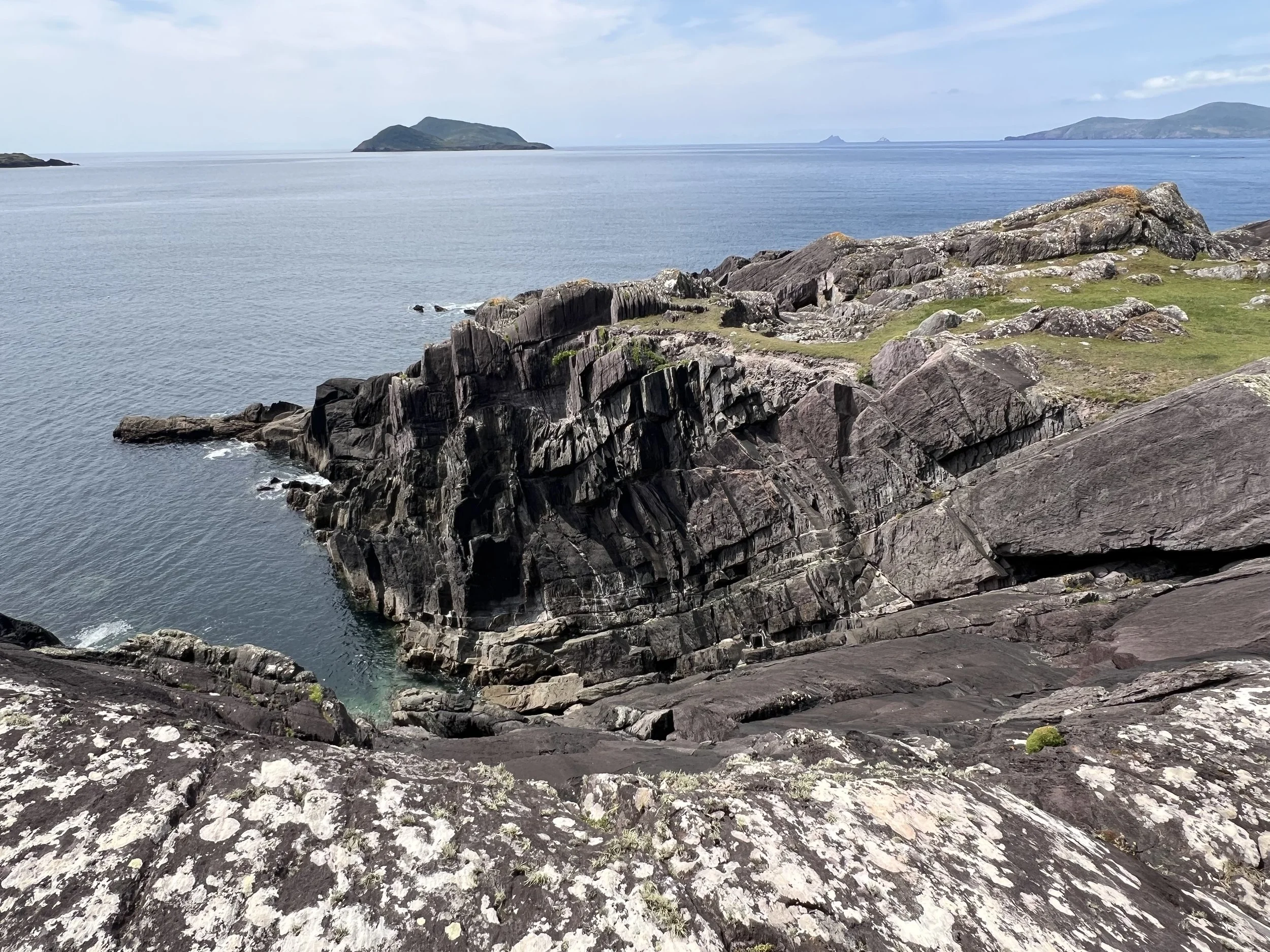
Looking west from Derrynane Bay. The Skellig islands are in the far distance.
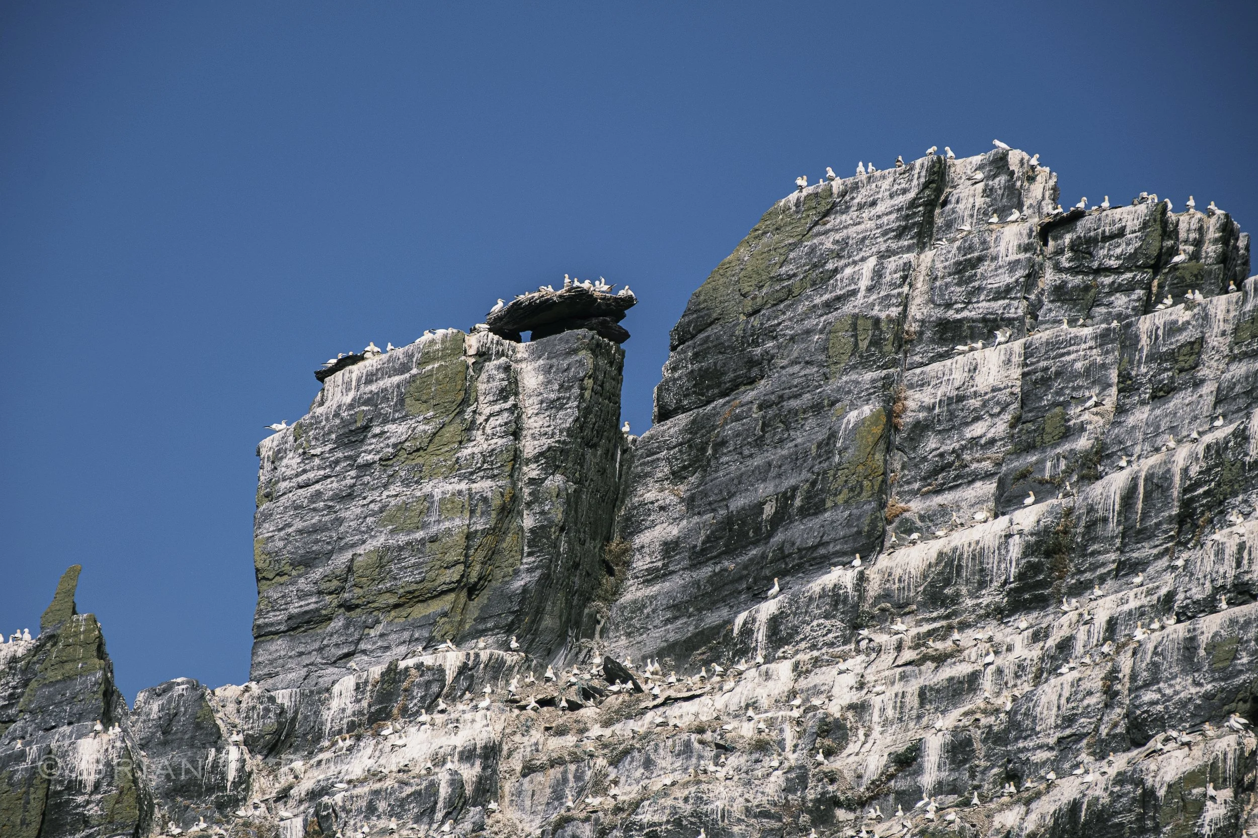
Heading on north, around the headland to the next stop, we detoured out to sea to make a close pass of the Skellig Islands. There are two main islands. Little Skellig is uninhabited apart from many thousands of gannets, puffins, razorbills and guillemots. The dark rock was turned white by their guano.
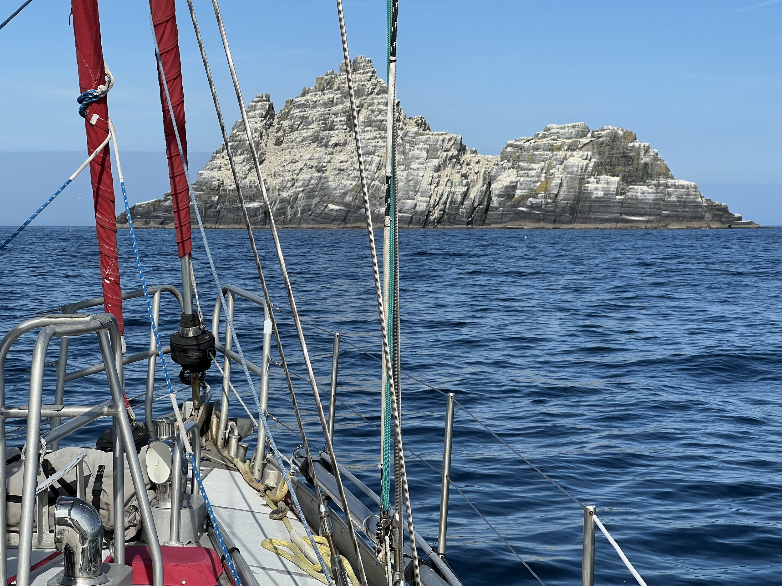
Approaching Little Skellig.
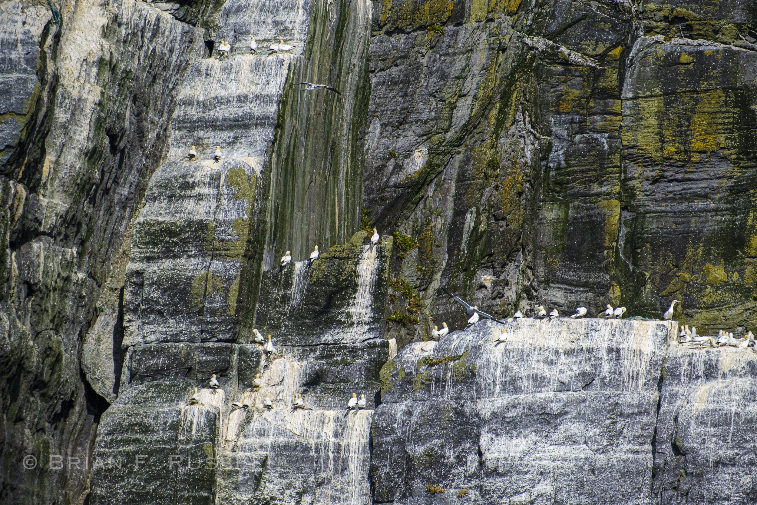
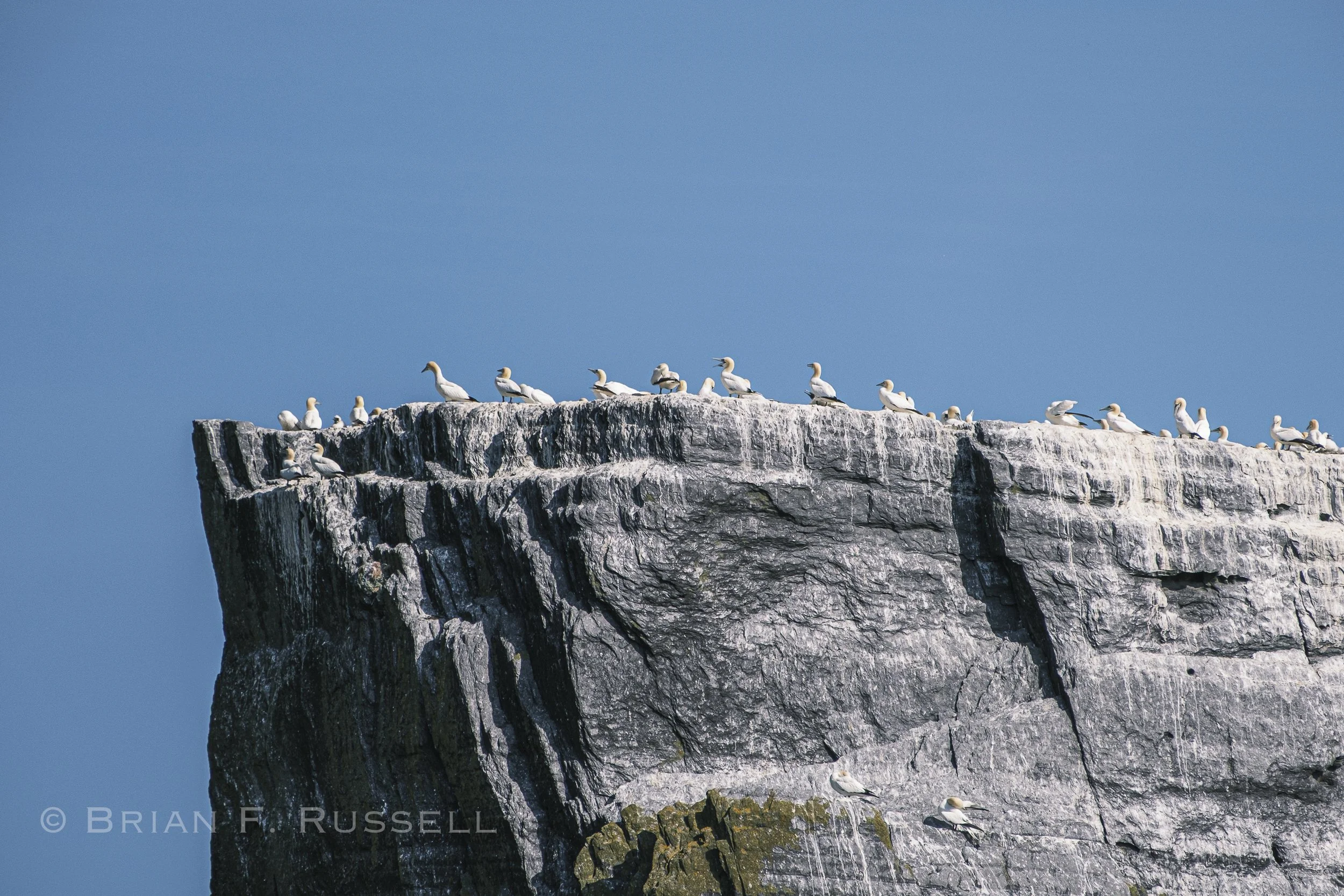
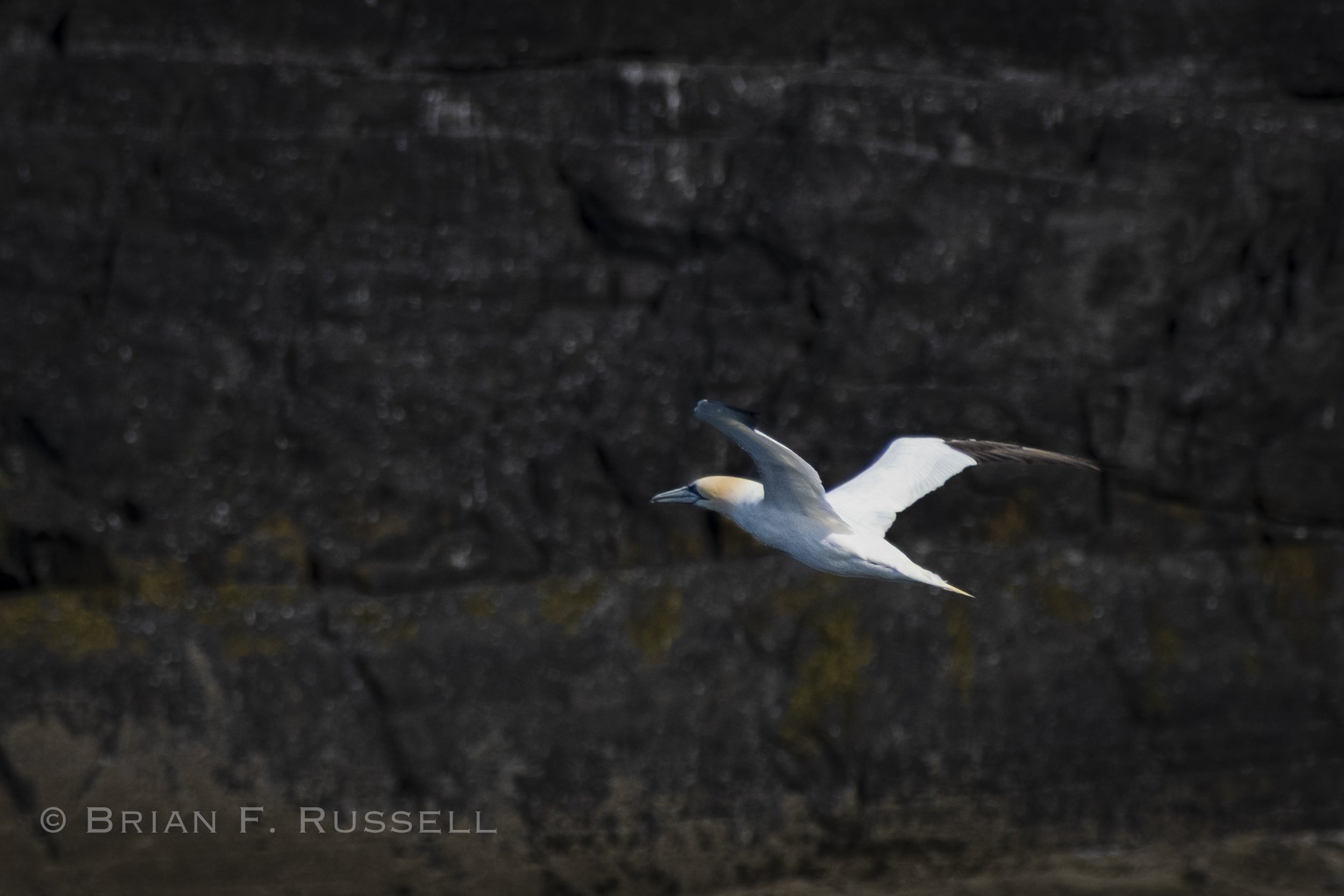
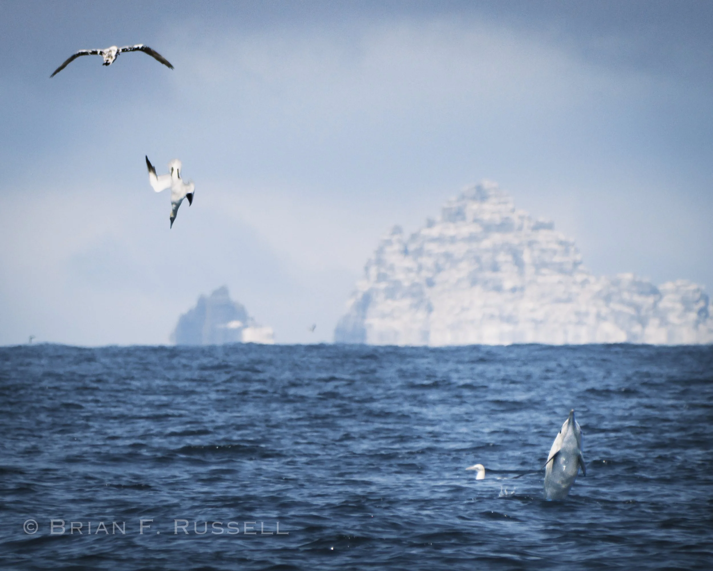
What a lucky shot.
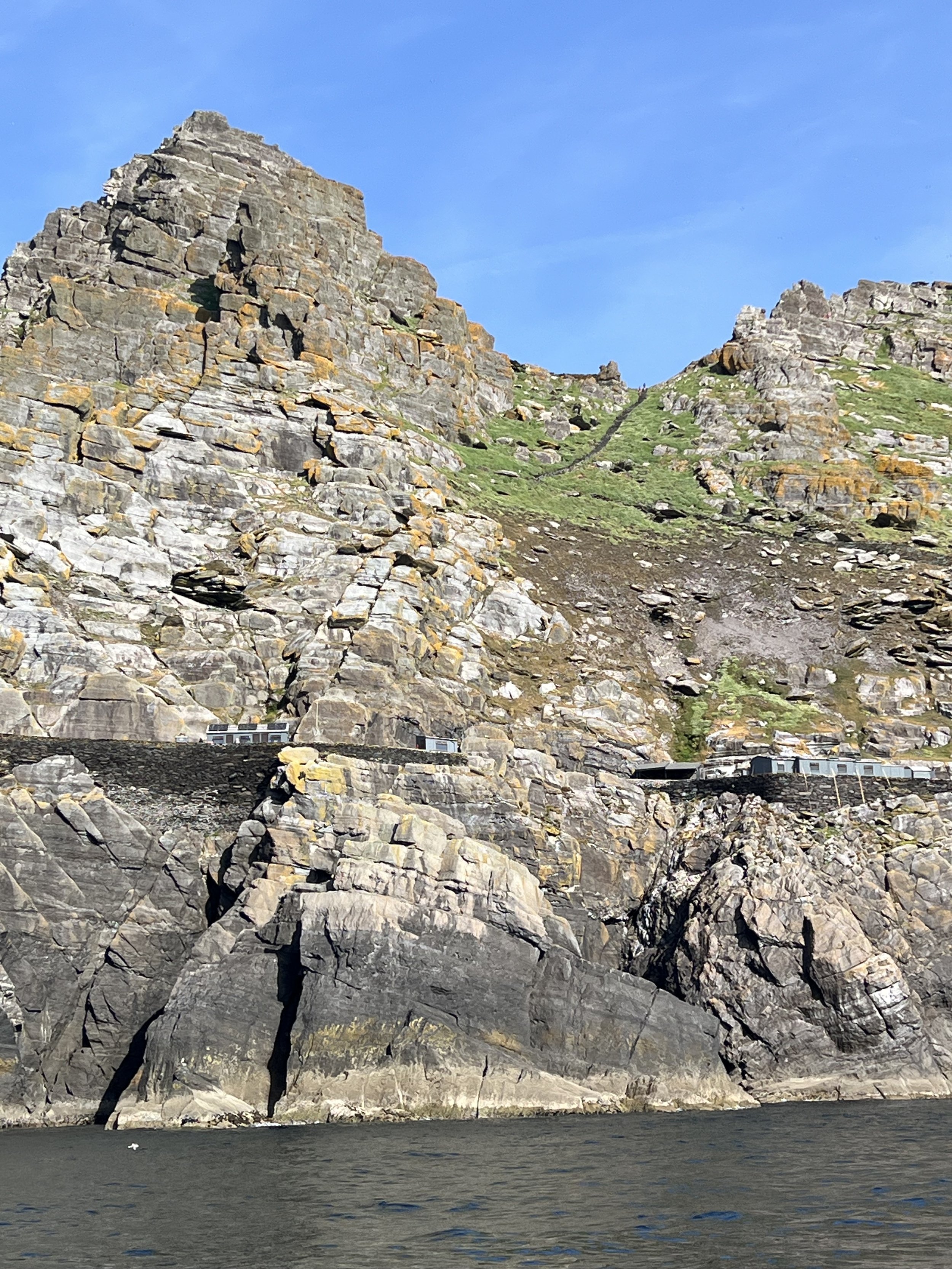
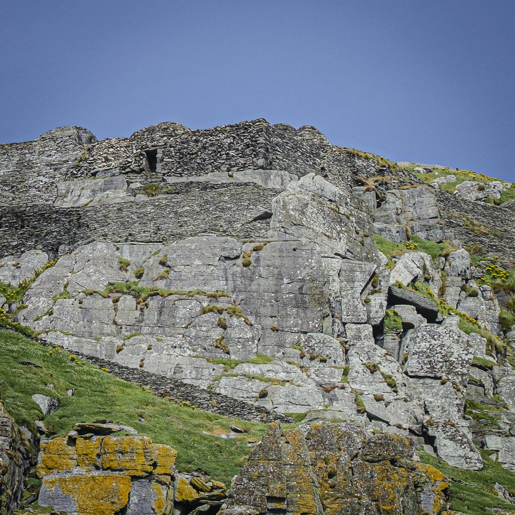
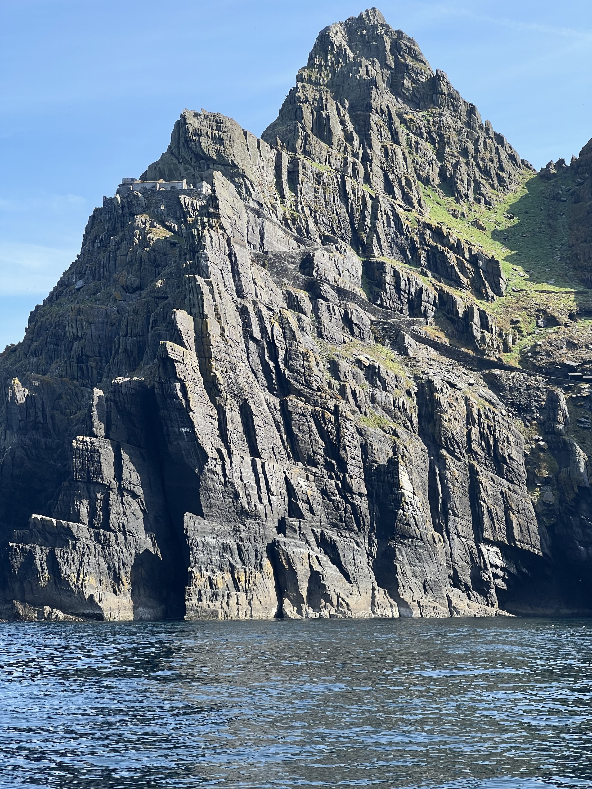
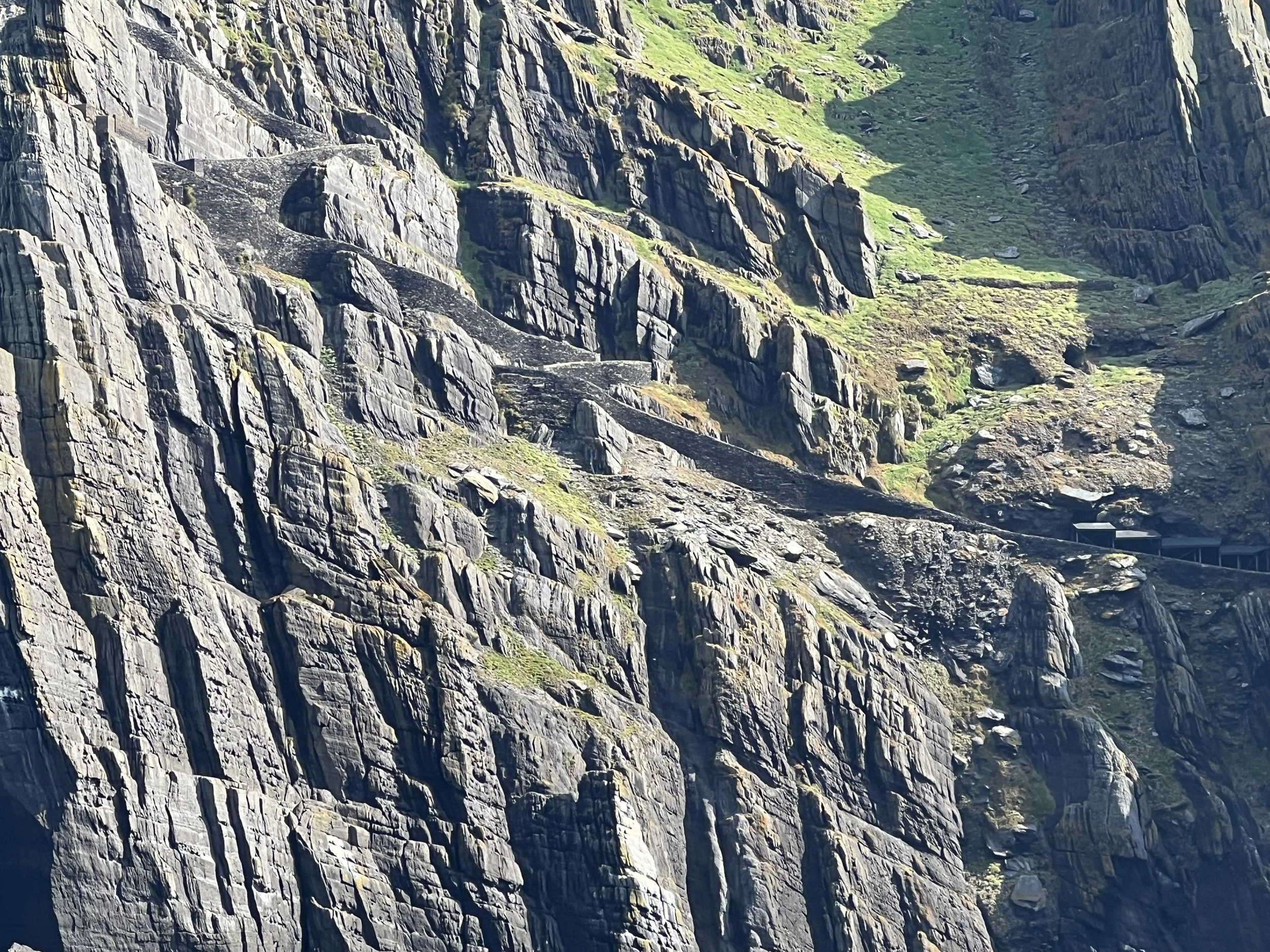
Then we moved on to Skellig Michael (or Great Skellig), a UNESCO World Heritage site. It has become quite the destination in recent years due to its use as a location in the Star Wars movies The Force Awakens (2015) and The last Jedi (2017). It was not possible for us to land on the island as there was no safe anchorage close by and the dock was only available for drop off and pick up by commercial ferries. We sailed by as close as we dared and looked up at the remains of the 1400-year old monastery perched up on the cliffs. The steep stone staircase winding its way to the top, the beehive huts and the hermitage were visible from the water. Apparently there is a hermit cell on the very pinnacle of the island, where a monk could escape to when things got too raucous down below.
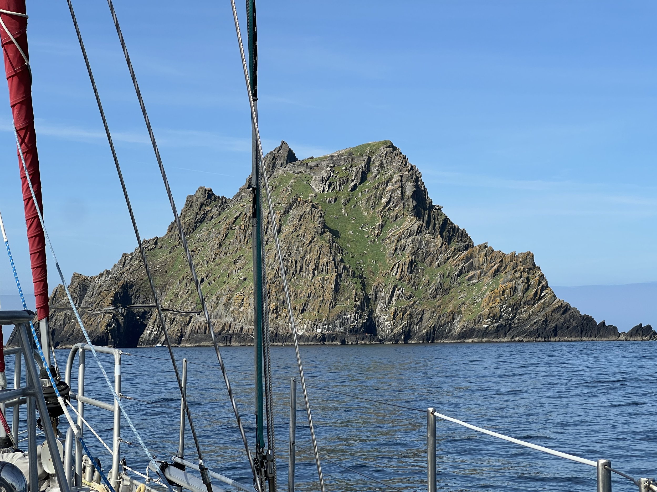
Skellig Michael.
Continuing north, we had hoped to anchor off the Blaskets. These are islands that were inhabited by a small Gaelic speaking community until 1954 when it was deemed the reduced and aging population could no longer safely continue, so the government evacuated the residents to the mainland. Their homes were left just as they had been the day they were evacuated, similar to St Kilda in Scotland. Unfortunately the weather forecast made it an untenable anchorage and we headed instead toward the marina in the lovely sounding town of Dingle.
Here we tied up to a floating pontoon and had a few days of shore power, hot showers, garbage disposal and laundry facilities, all services most people take completely for granted. We also took the opportunity to refill our fuel tanks after the crossing. There are very few places in Ireland where a boat can obtain diesel without having to resort to carrying jerrycans from a gas station. In Dingle we contacted the local fuel company and they sent a truck to the dock for us.
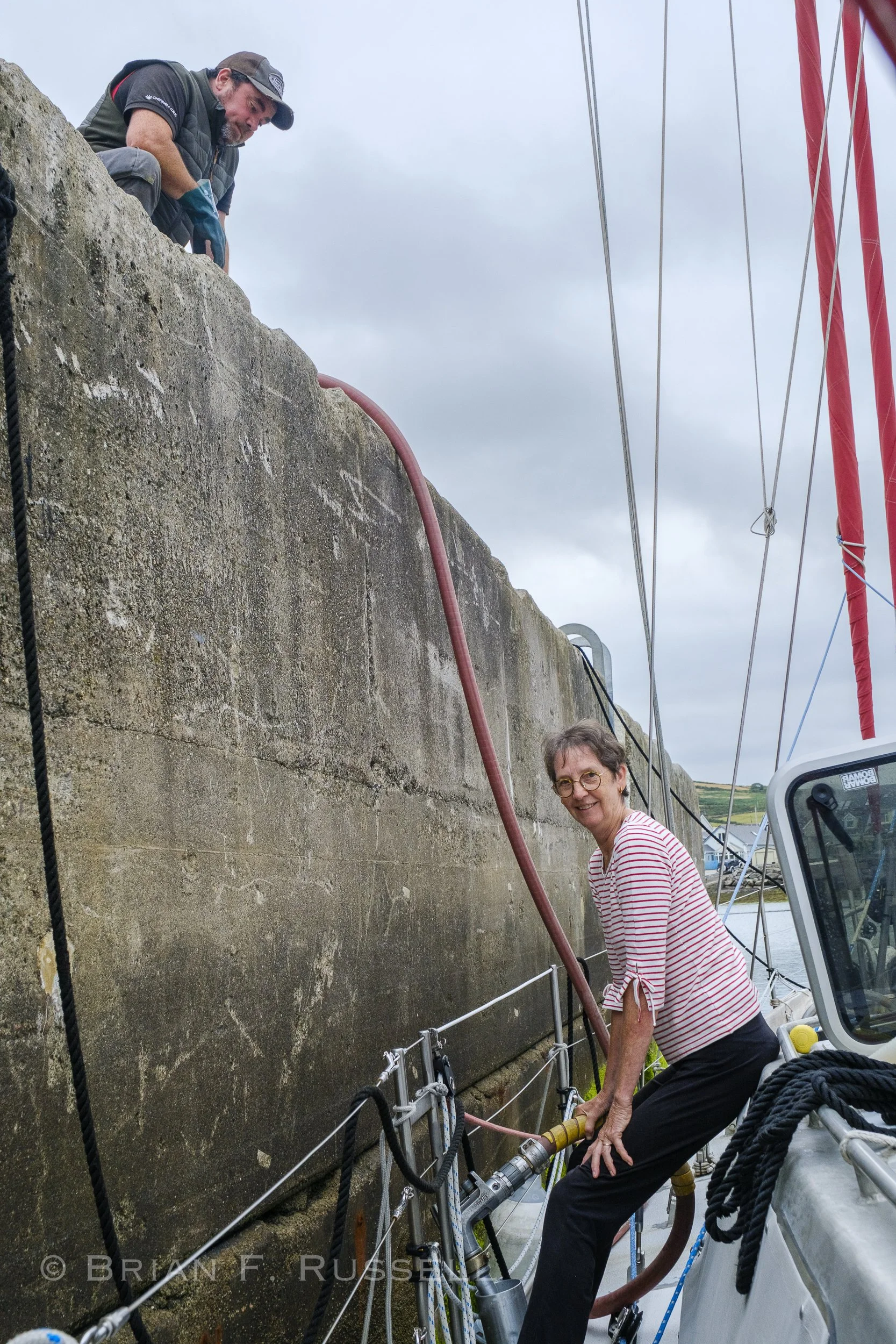
Fueling up Helacious.
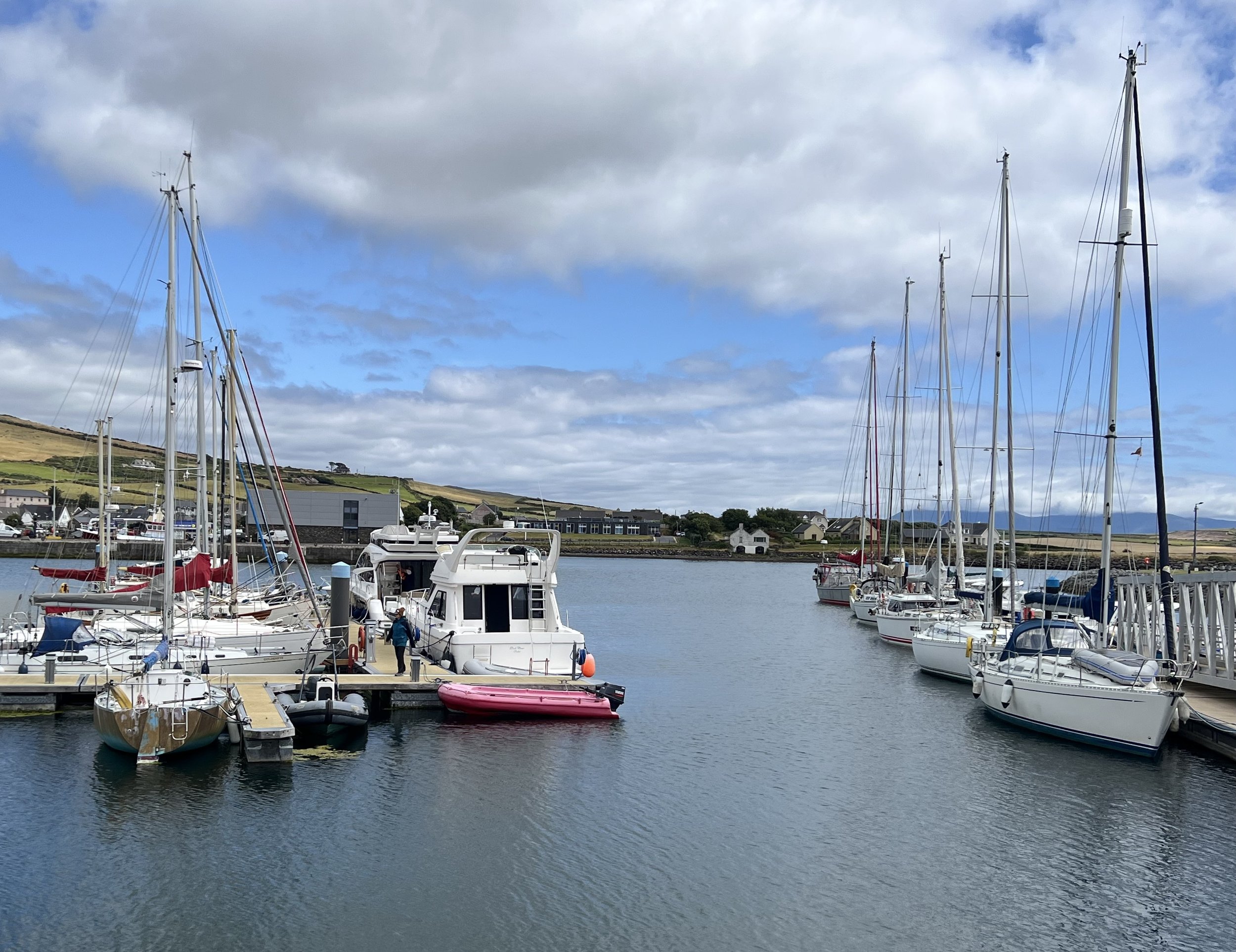
Dingle Marina.
Dingle is quite the tourist destination we discovered, and with about 52 public houses, we are not surprised why.
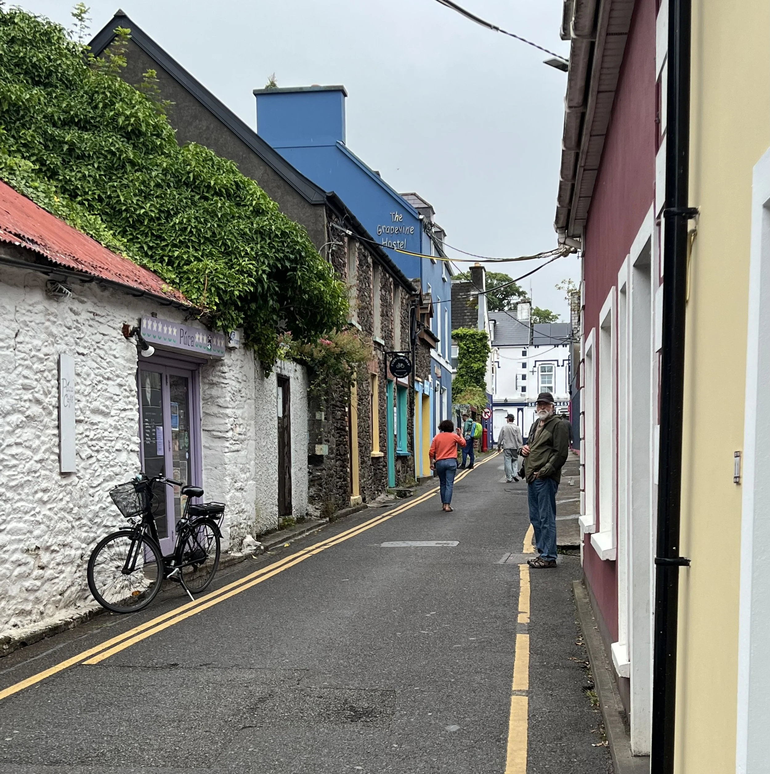
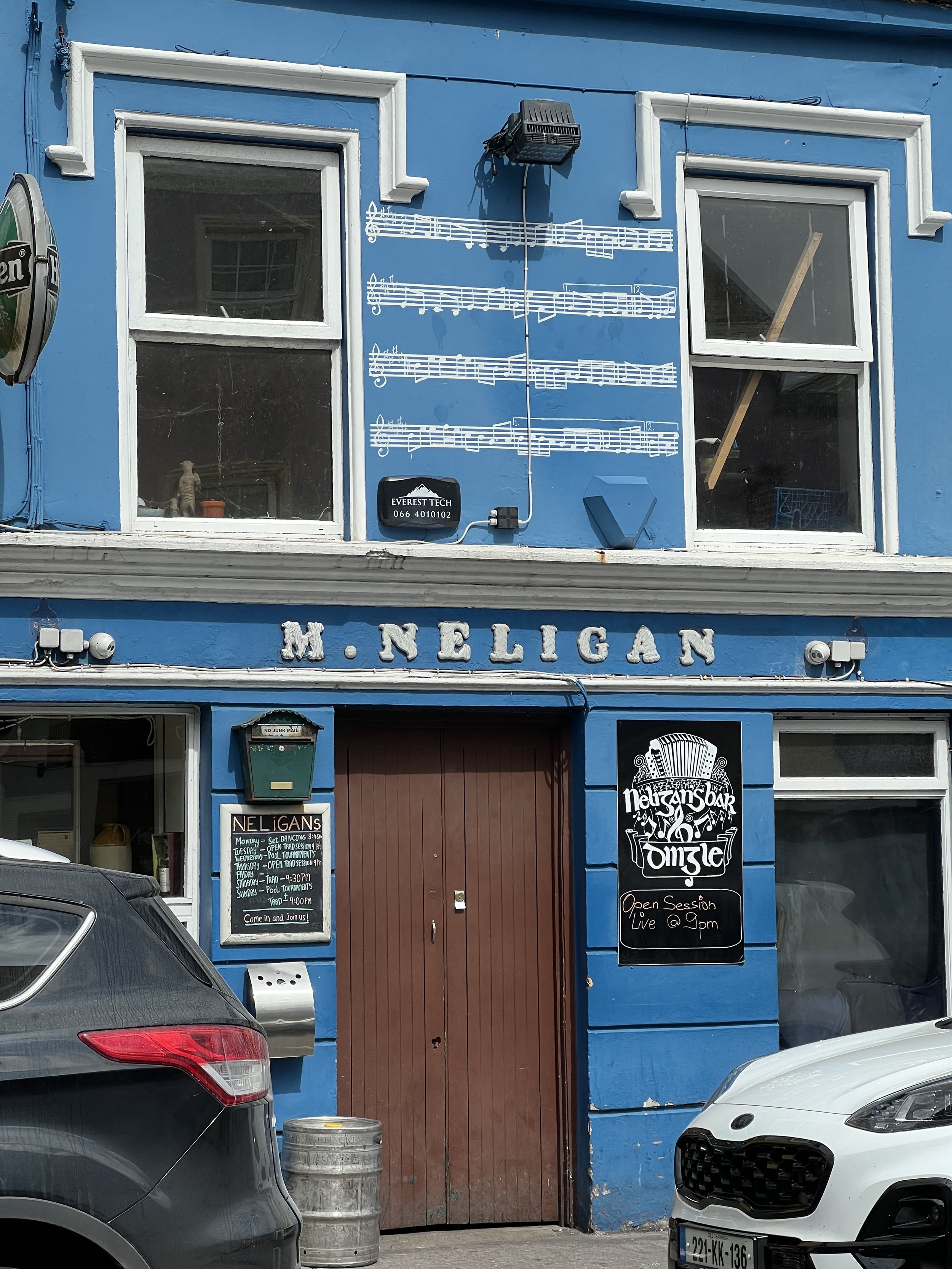
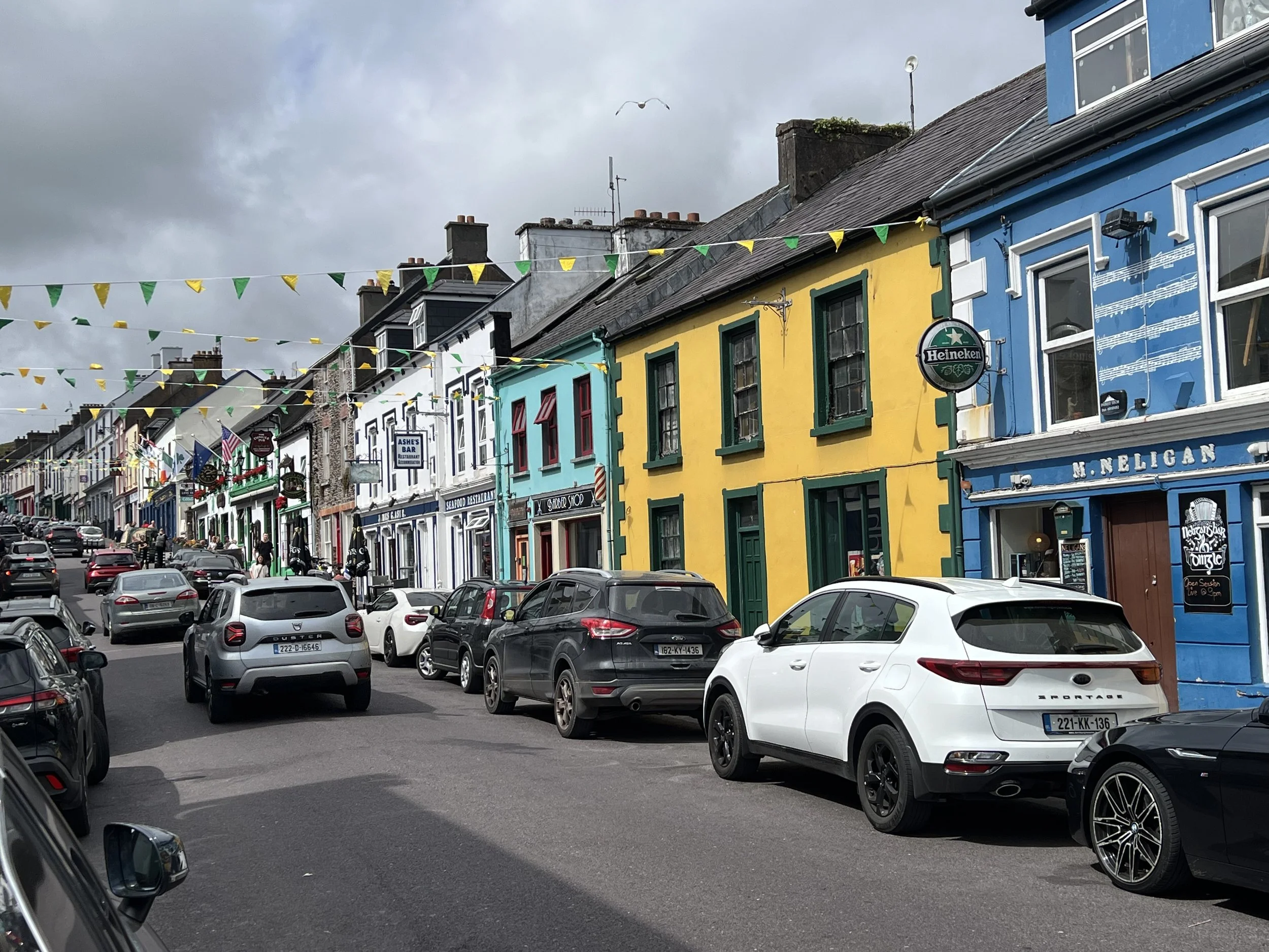
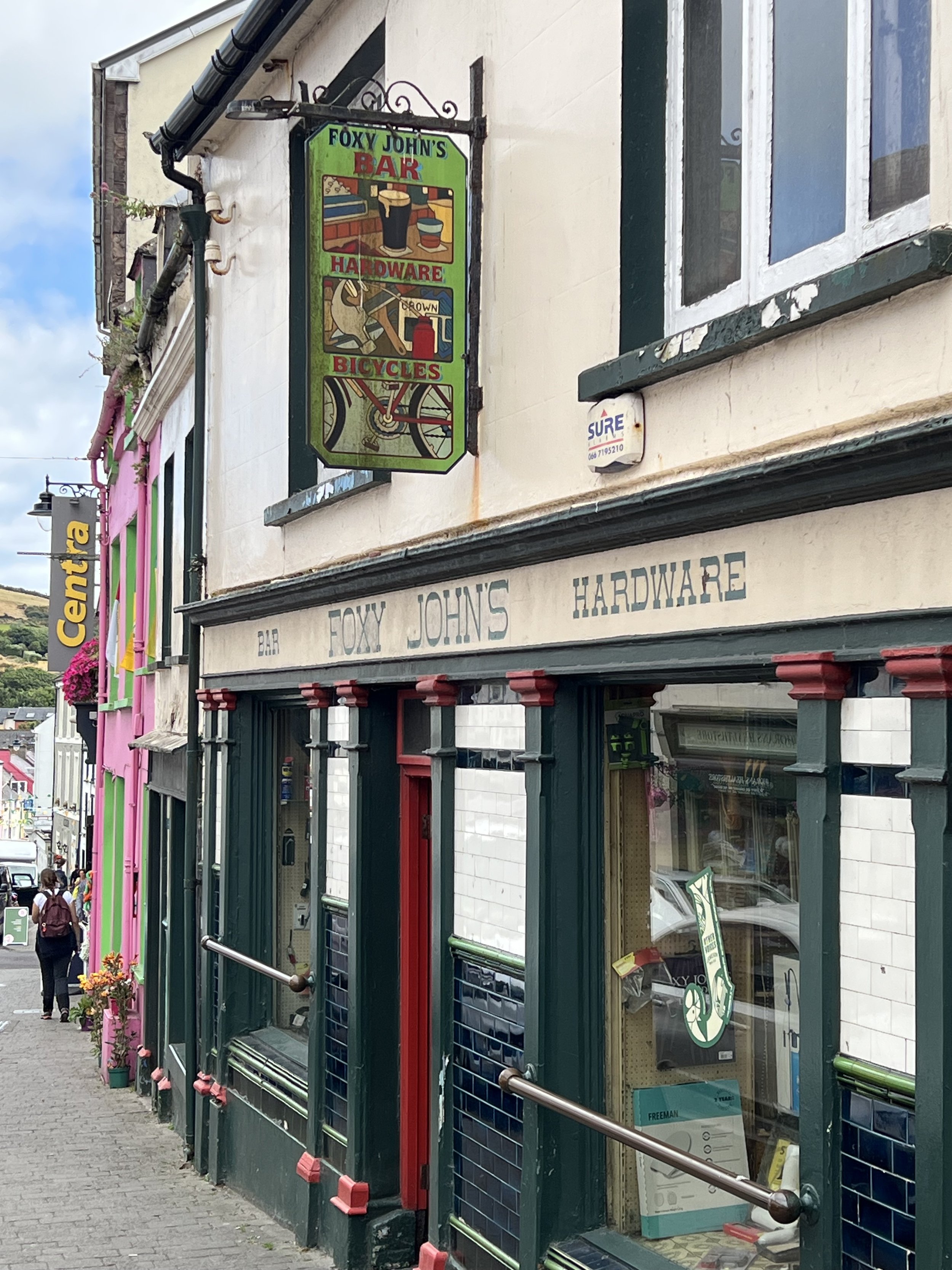
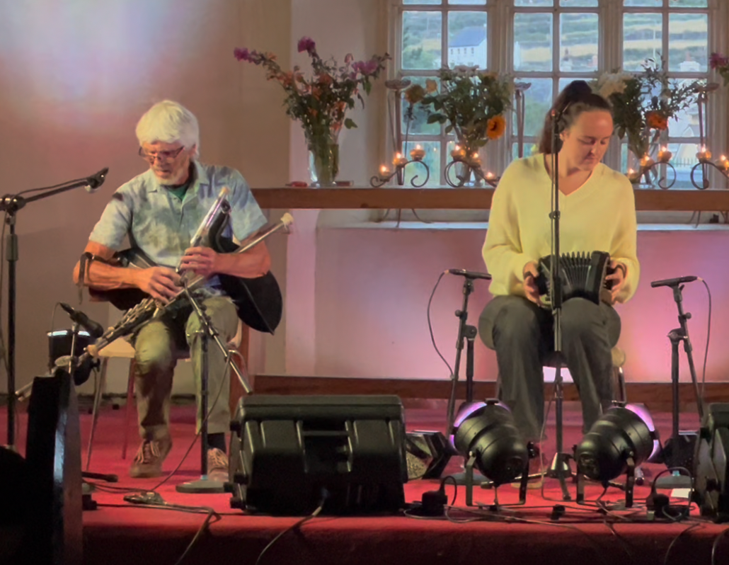
With Chrystie and Ken we took the opportunity to enjoy some traditional Irish music in a local church hall. The Irish pipes, with not one, but two bags/bellows to control (similar in sound to the more common Scottish bagpipes) and concertina (or squeeze box) were instruments that were new to us.
The next day we all went for a ramble along the dramatic coastline, enjoying a little Irish rain, so light it barely gets you wet.
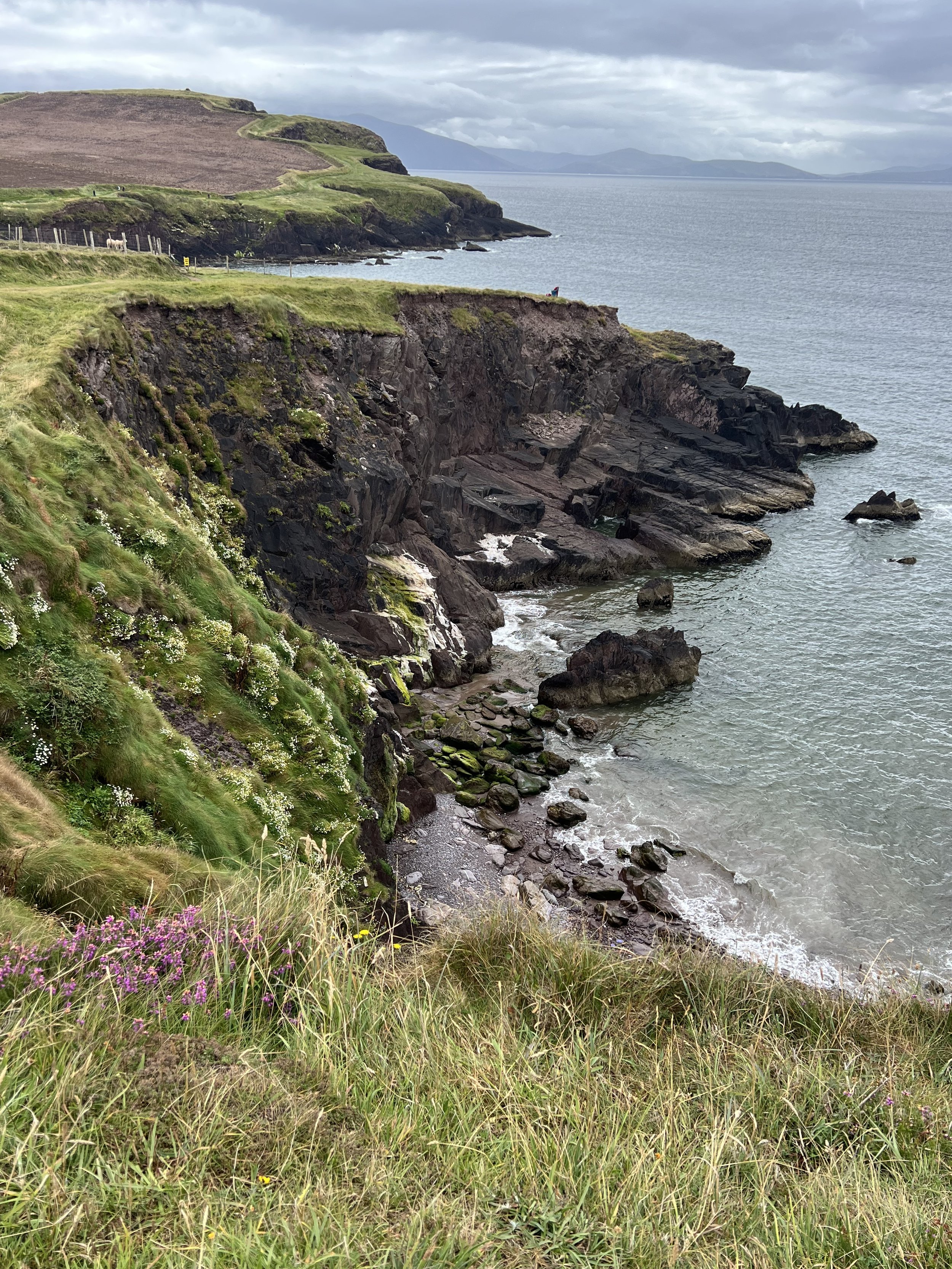
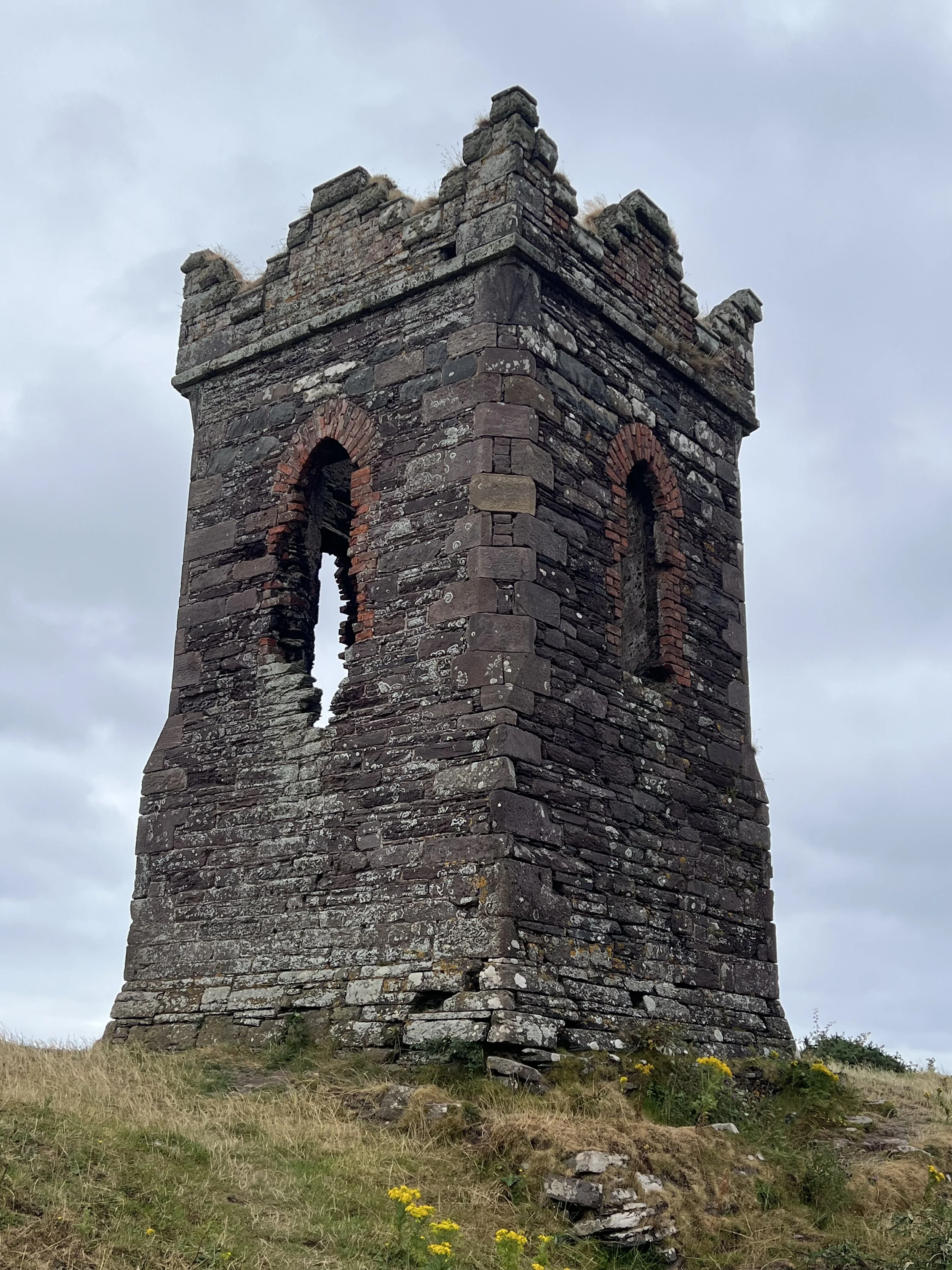
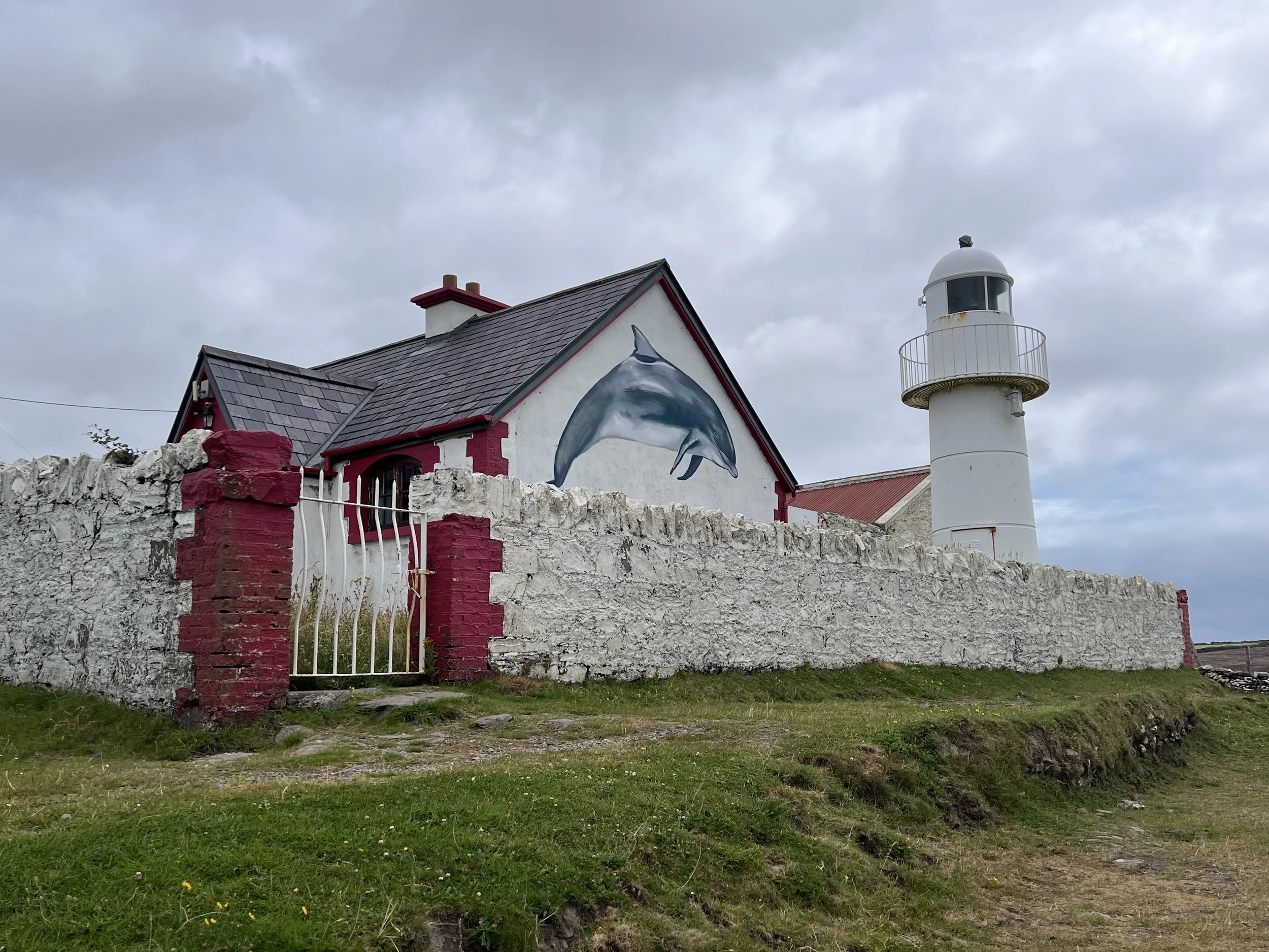
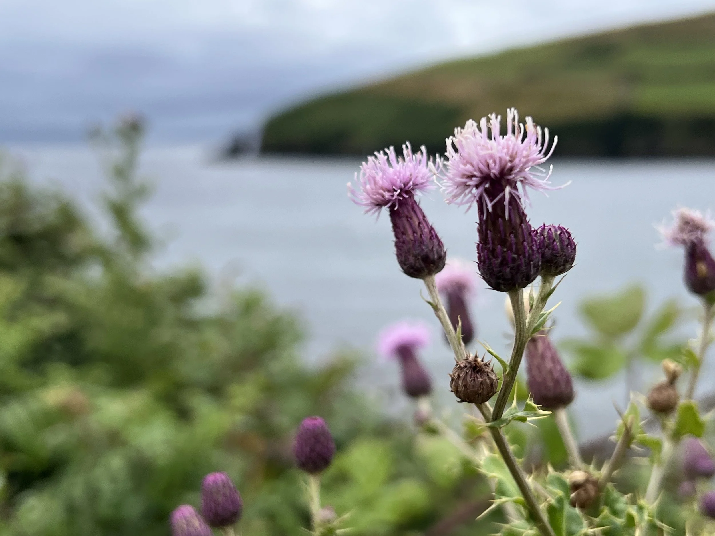
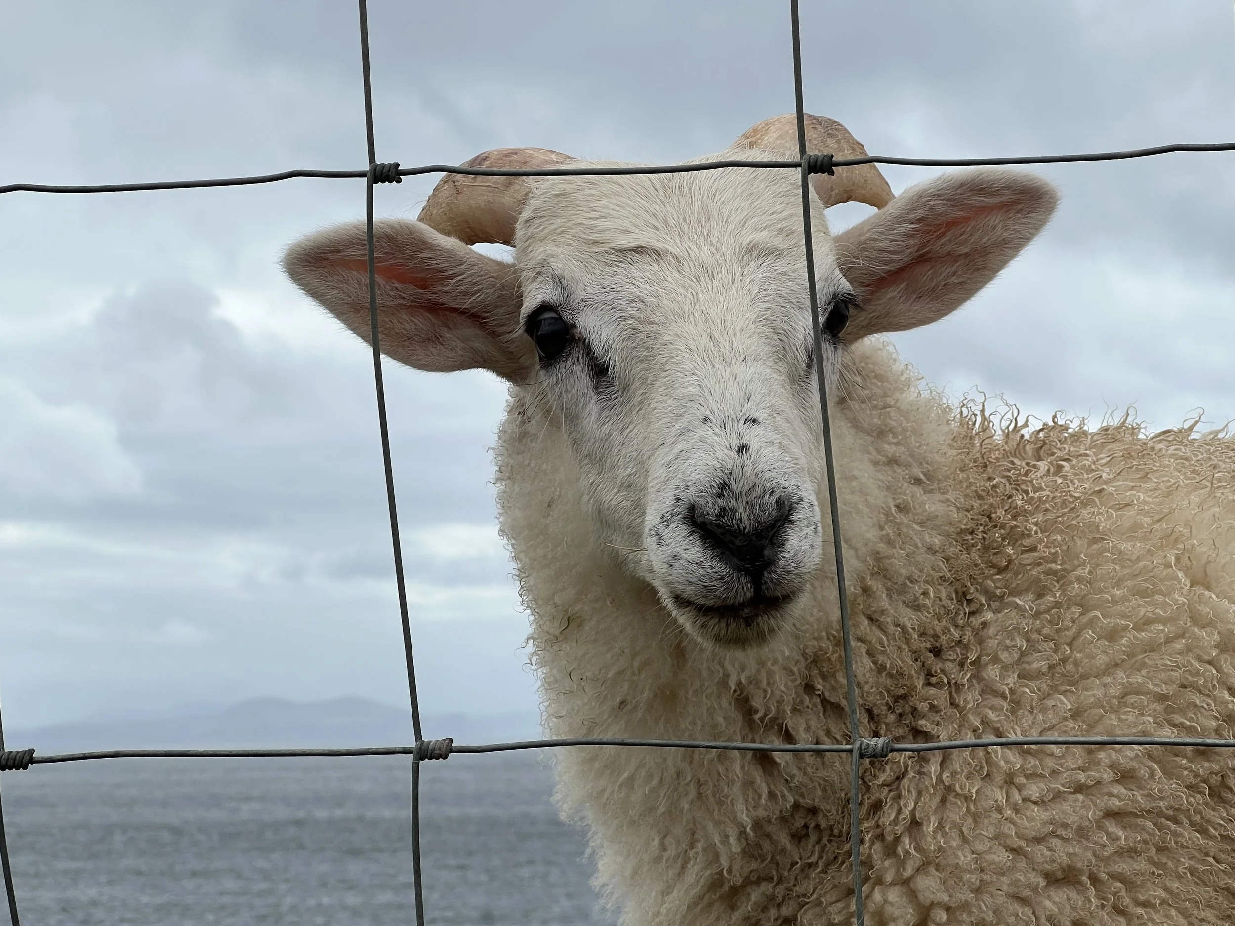
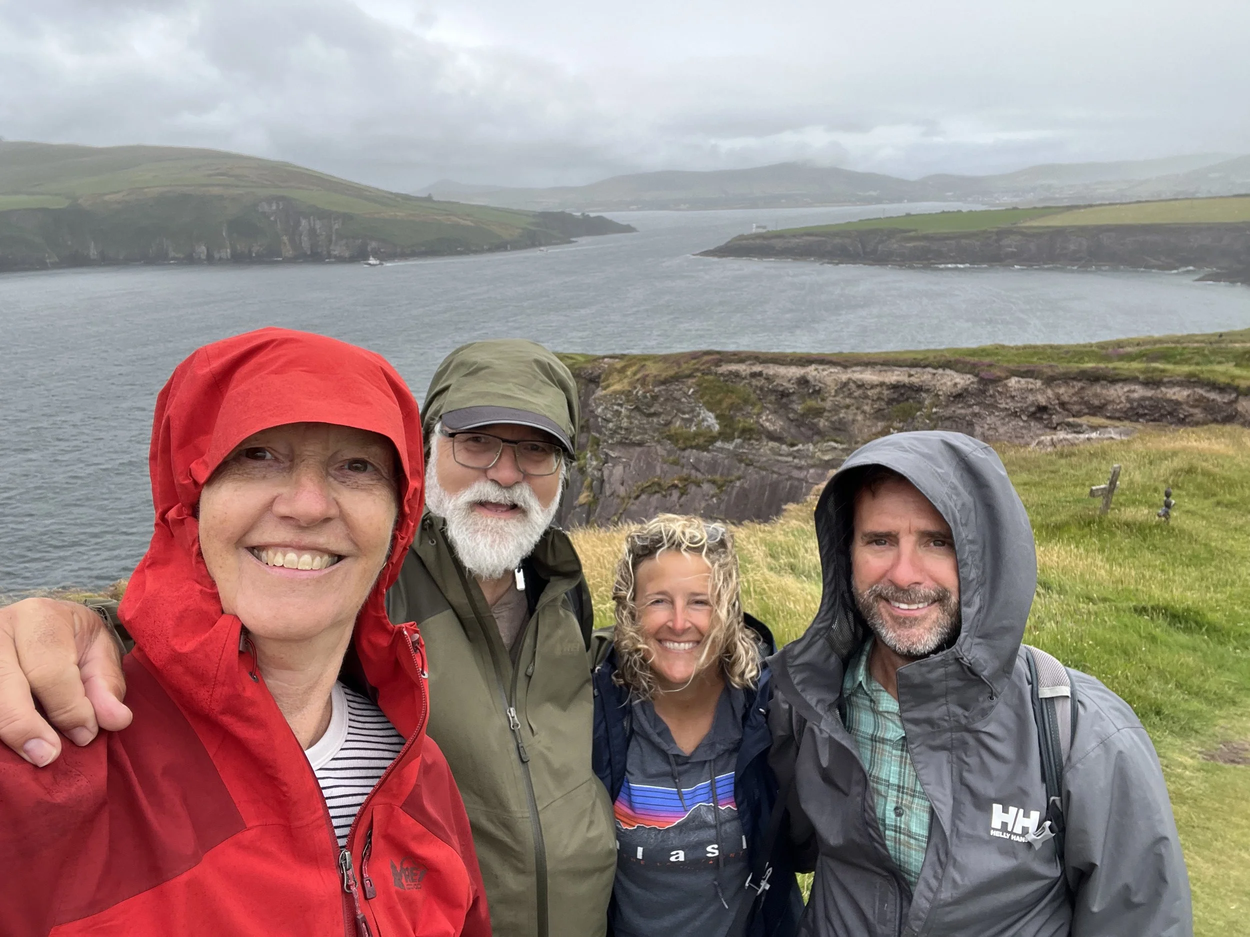
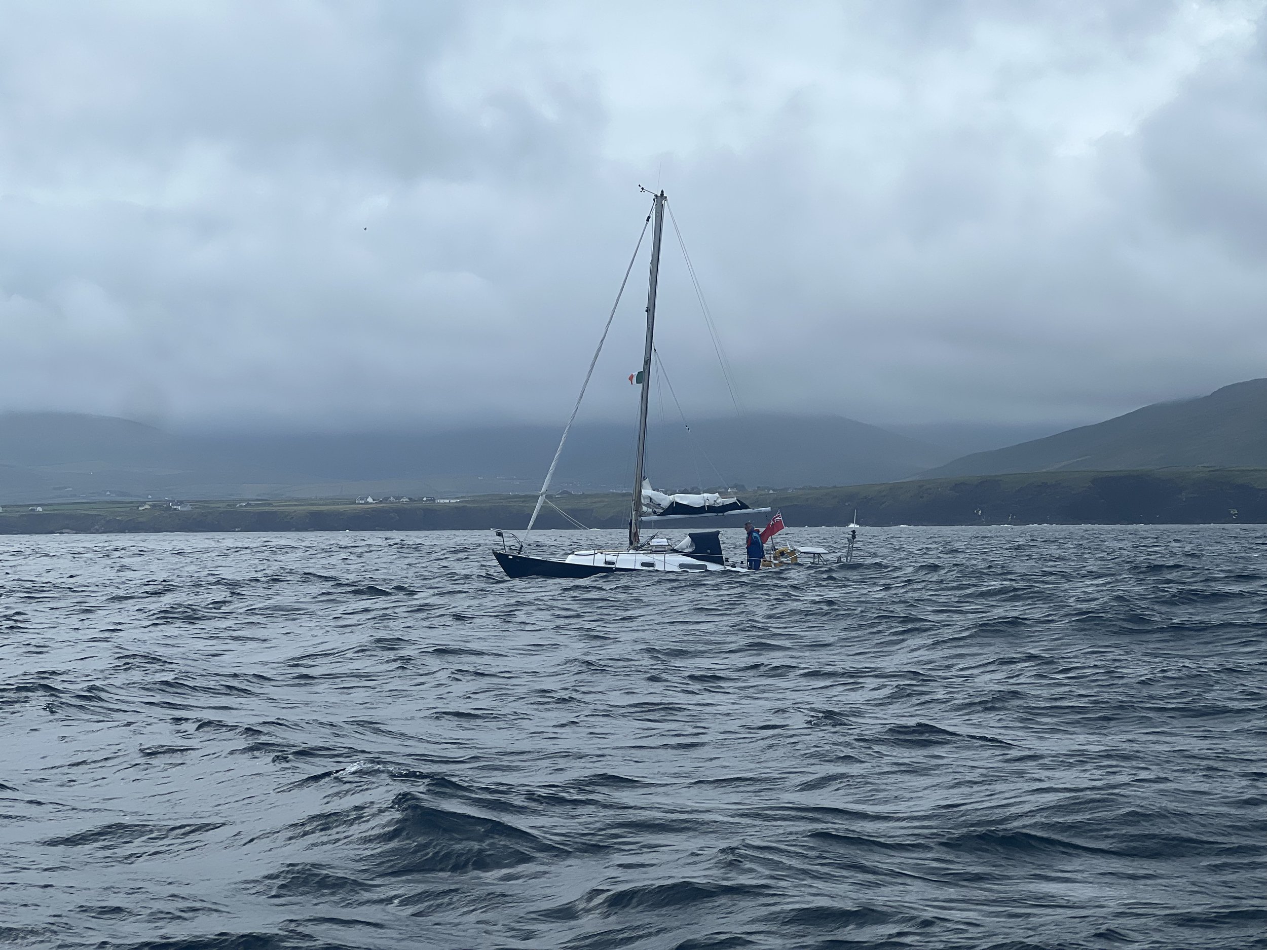
Leaving Dingle the next day we rounded the cape, past the Blasket Islands, and immediately ran into some very rough water. We tucked into the first bay on the north shore of Dingle Peninsula to wait out the large swell, continuing our journey north to the Aran Islands the following day. As we left the anchorage we passed James in his small 26ft Contessa, Aquarelle. We later found out he was coming to the end of his circumnavigation of the UK and Ireland. Watching him hand steer the small boat, disappearing into the waves, made us grateful to be on a much bigger boat! Much respect James.
The Aran Islands are a group of three islands in the shelter of Galway Bay, about half way up the west coast of Ireland. The main island, Inishmore (Inis Mór) has a large and well sheltered harbor where we set our anchor for a few days.
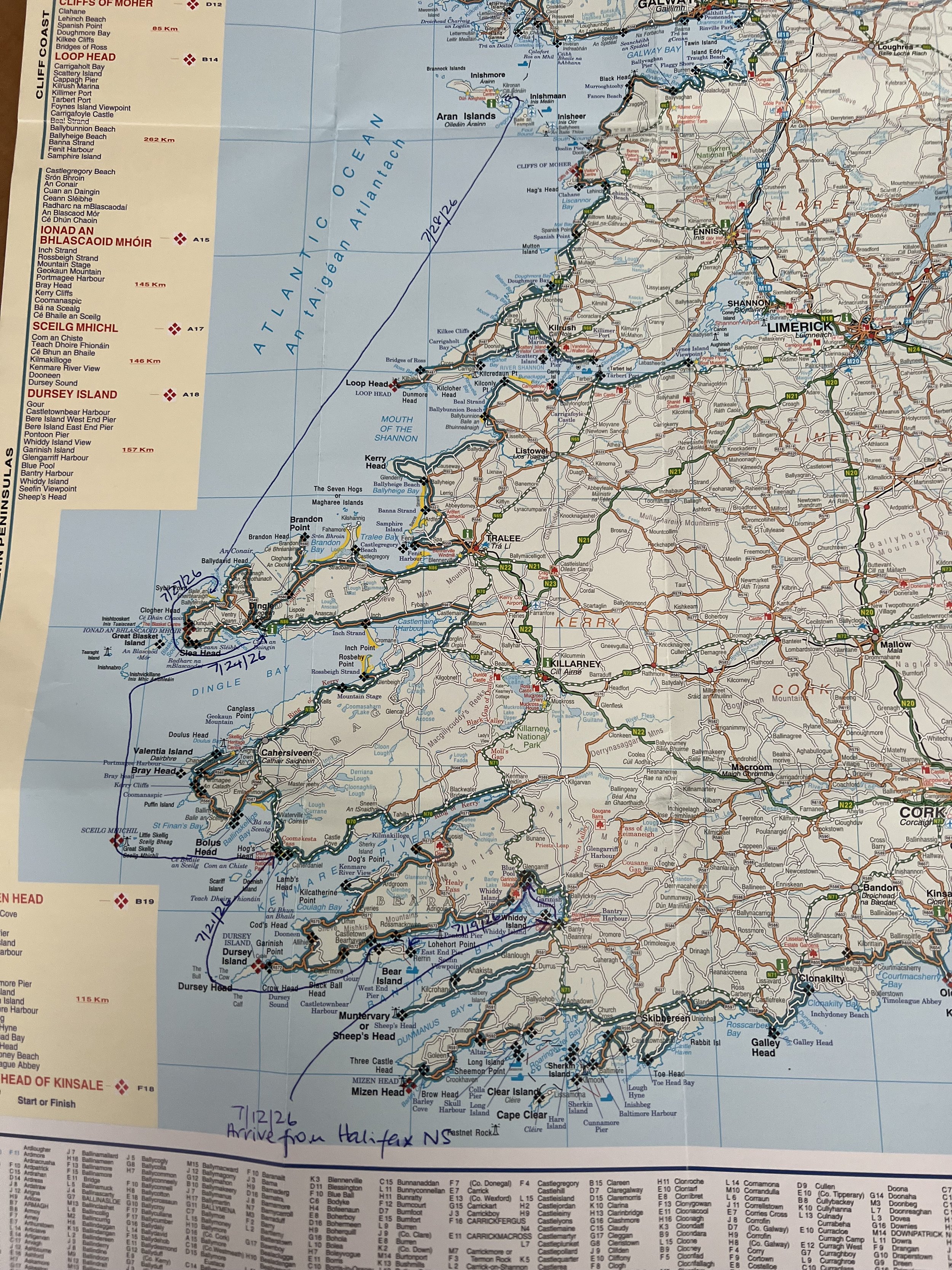
It is always nice to have a map or chart to put things in perspective.
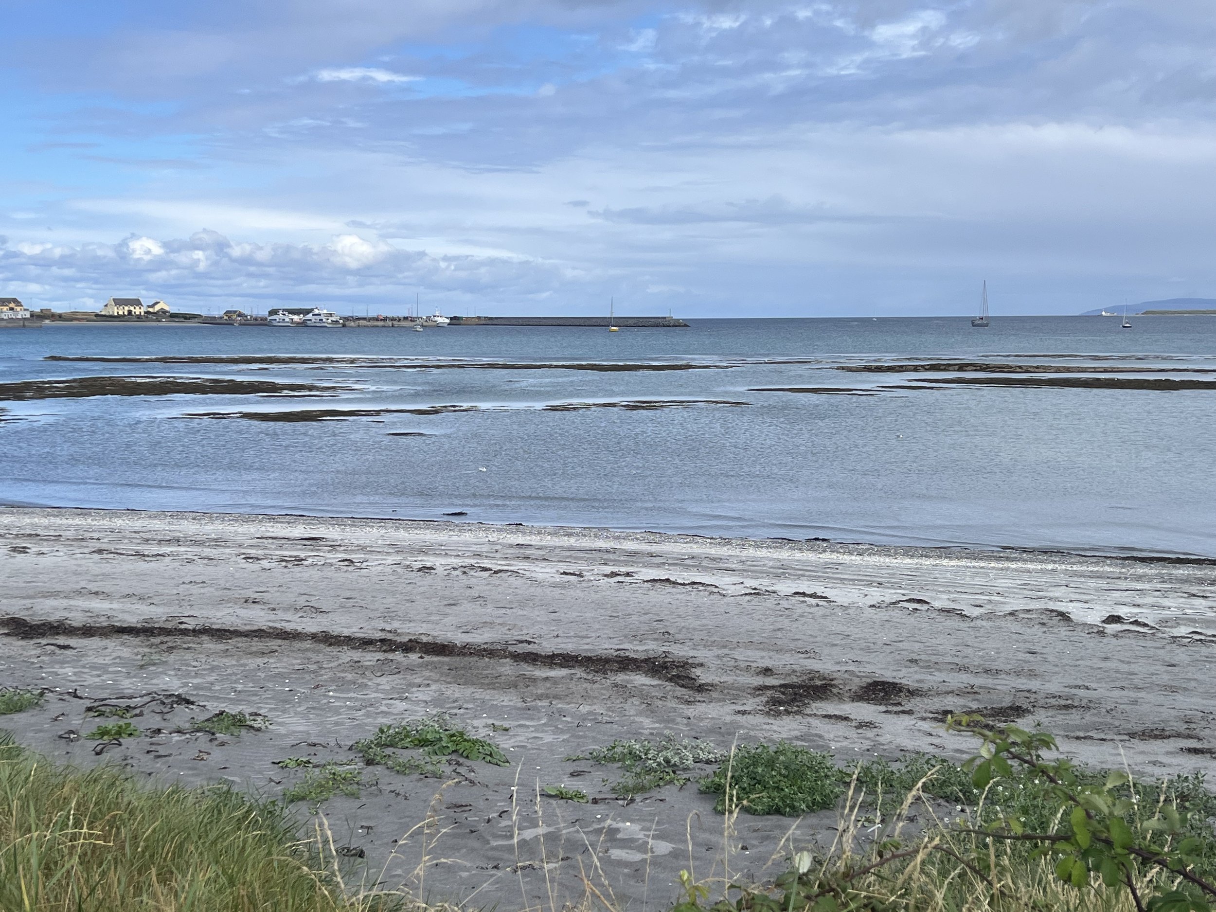
The town of Kilronan on Inishmore wraps around the large and shallow Killeany Bay.
The Aran Islands are part of the Gaeltacht area, where spoken Irish is frequently heard. Indeed, one evening we listened to the horse racing broadcast on the pub TV and it was all in Gaelic, the only part we recognized was the horses names!
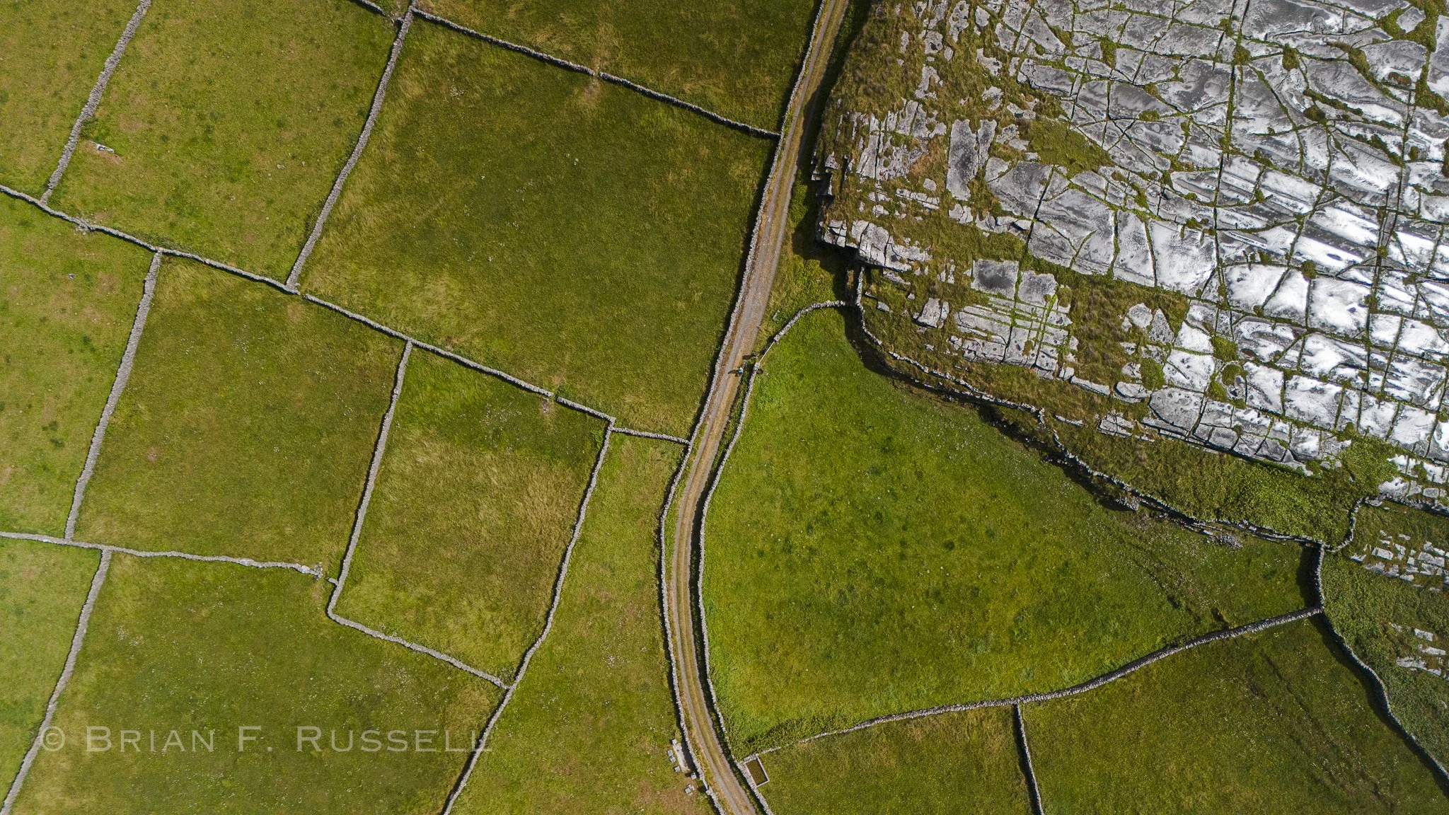
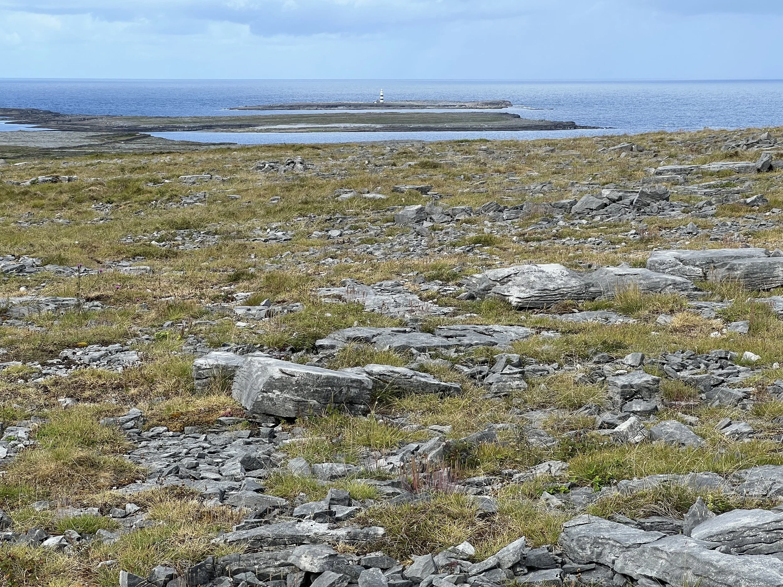
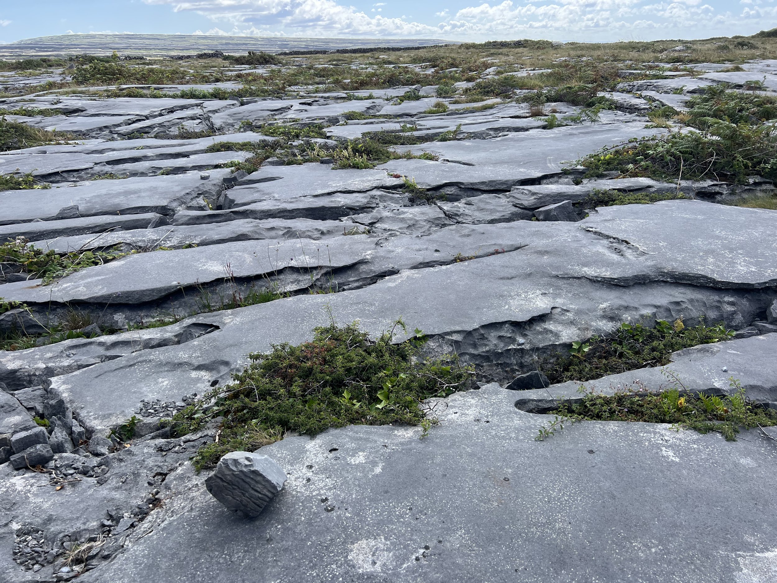
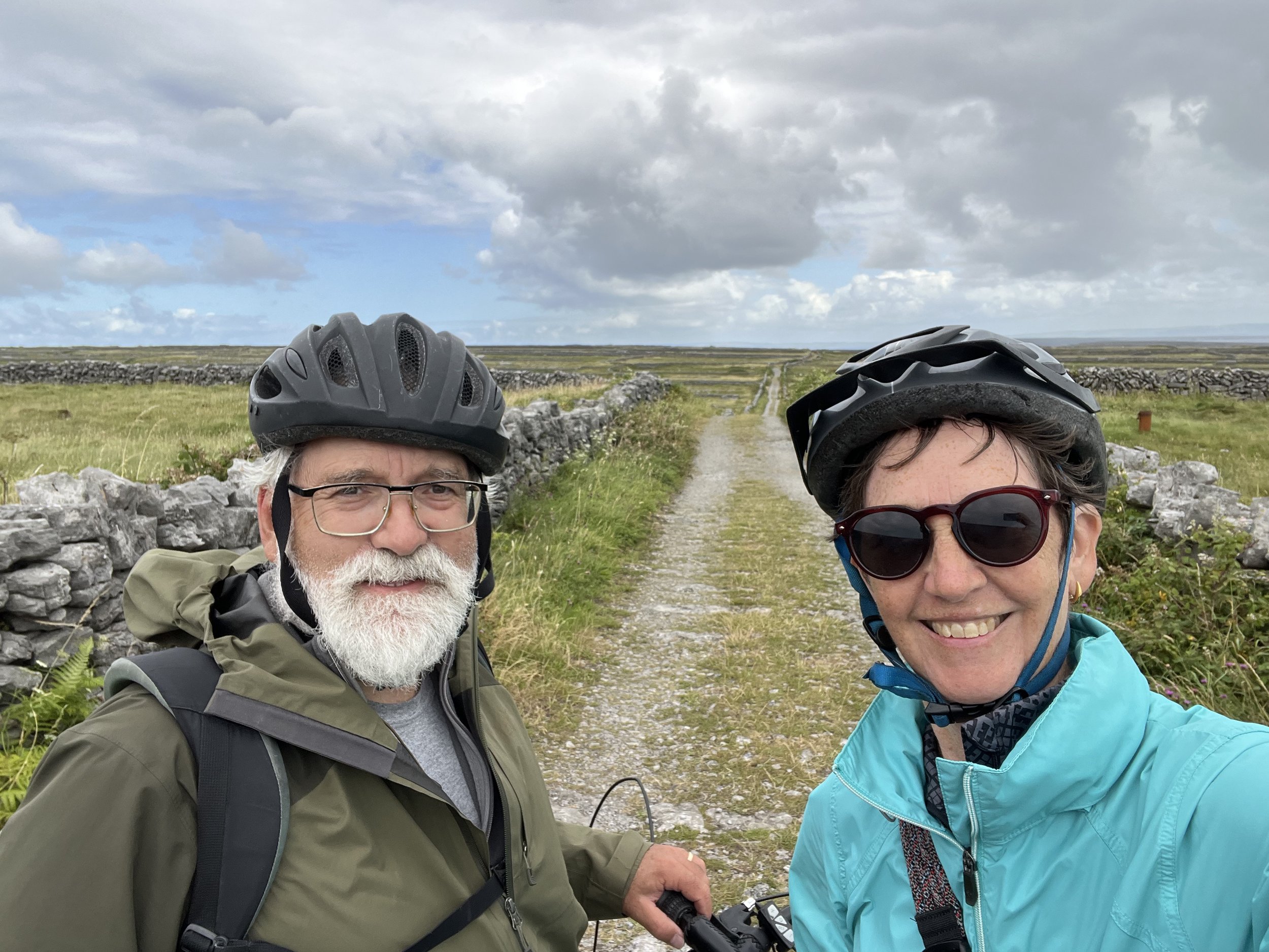
It is the karst landscape – bleak stretches of exposed limestone rock, seen most prominently on Inishmore – that makes the Aran islands so special. We rented a couple of e-bikes for a day and explored the whole island from end to end.
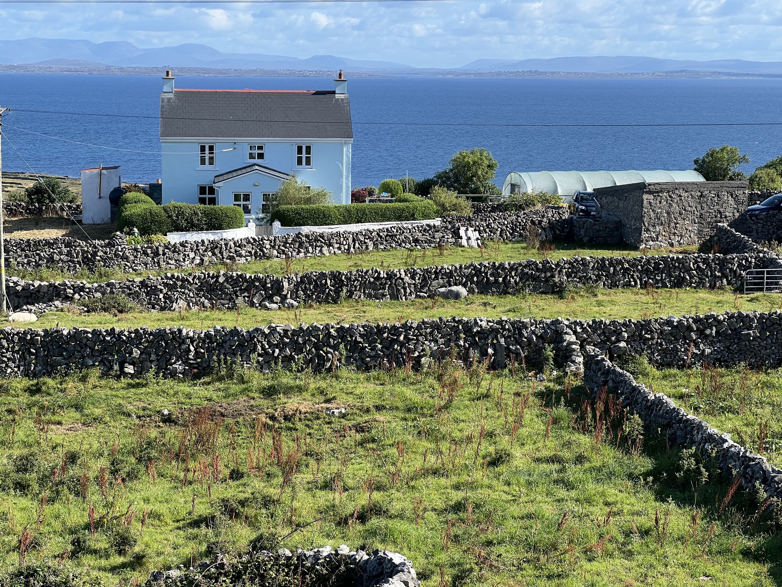
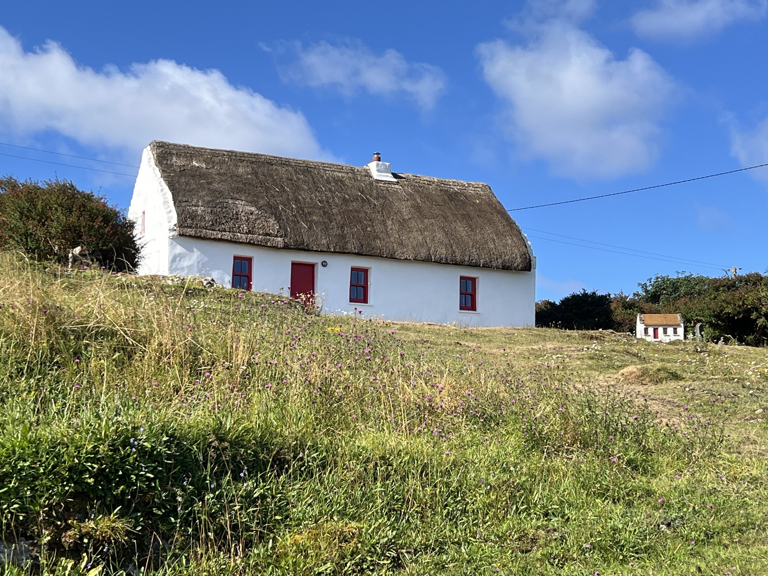
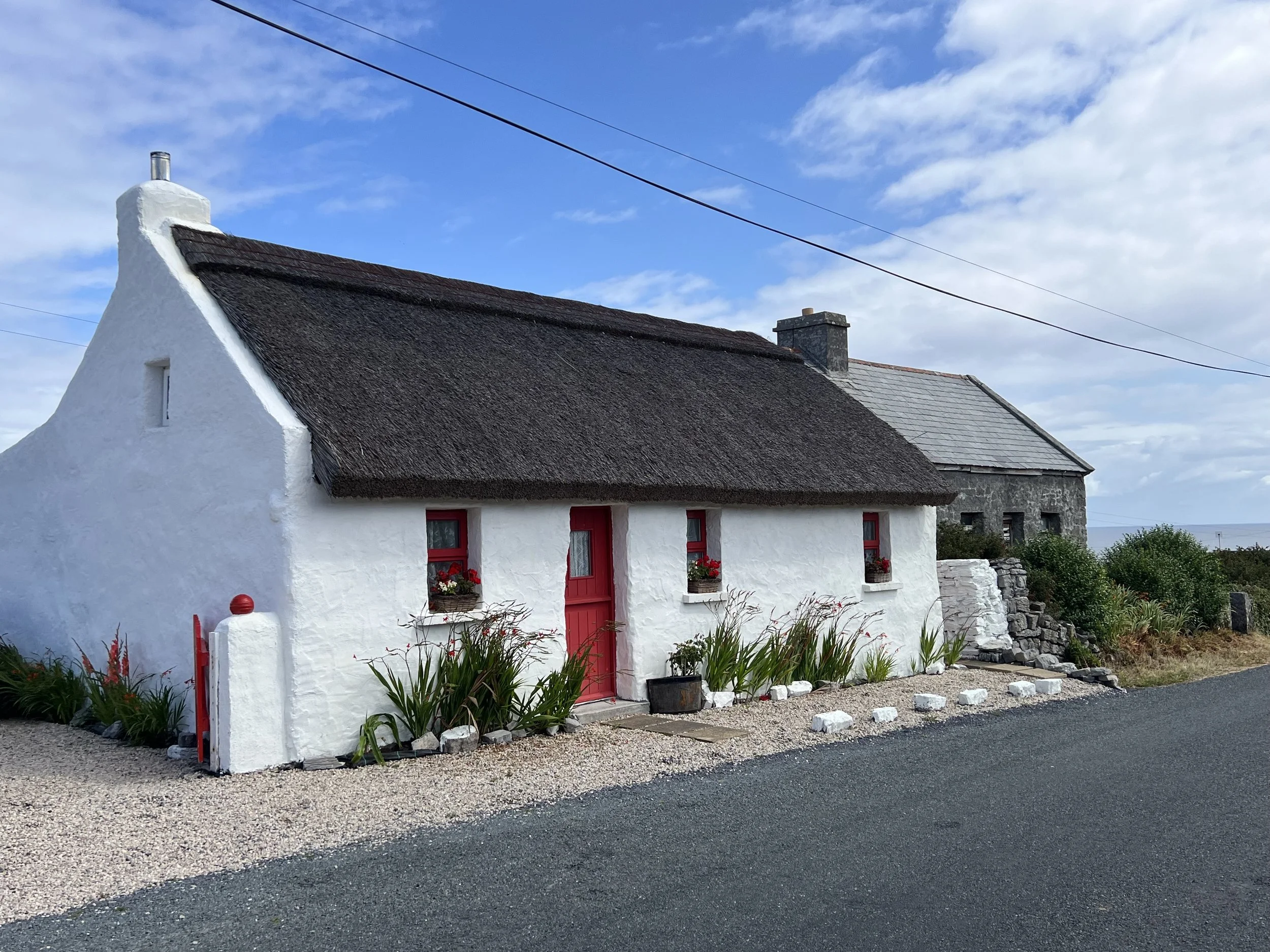
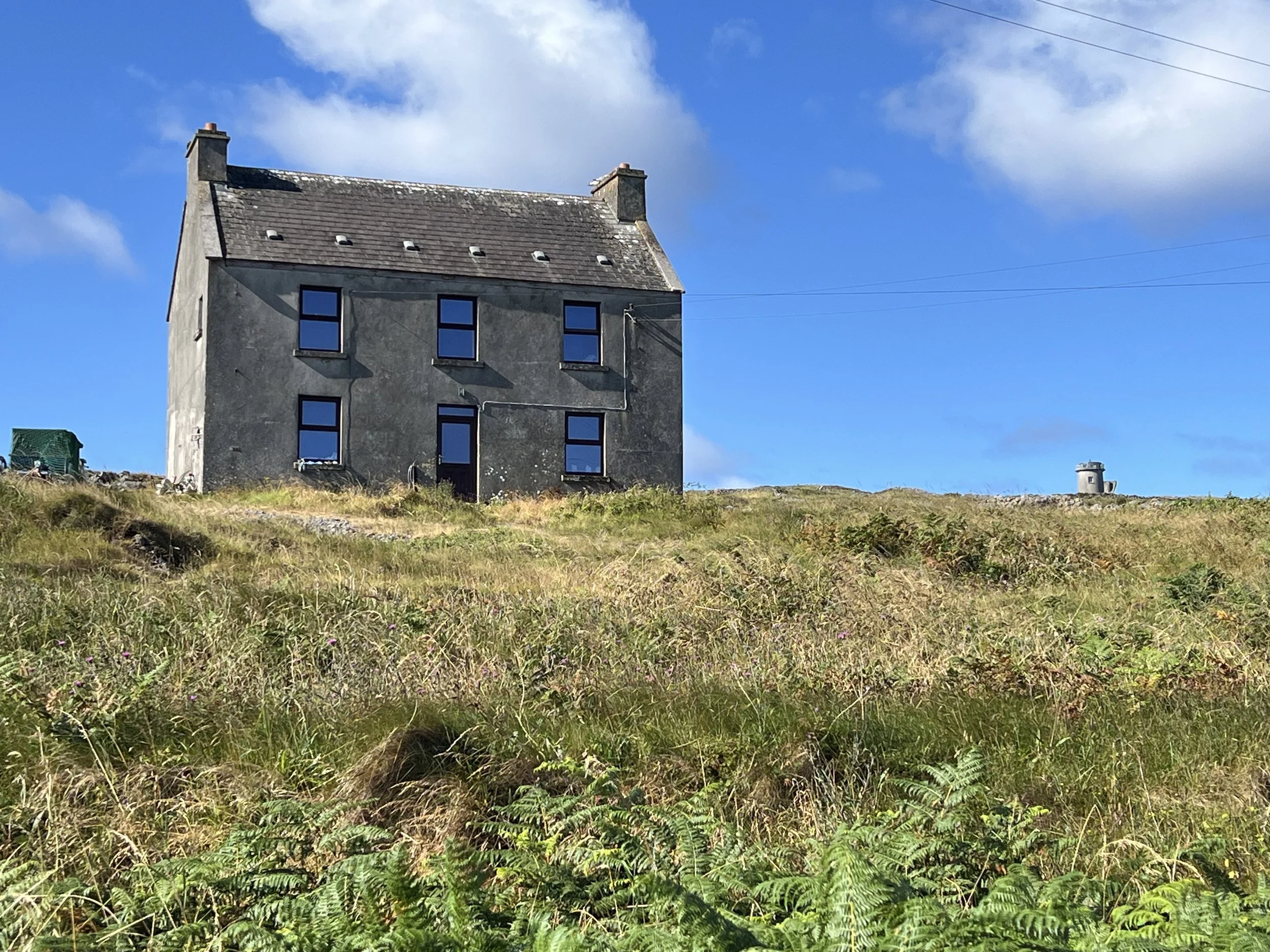
The houses were solidly built and modest in size, perfect to resist the extreme weather that must occur over winter in these exposed islands.
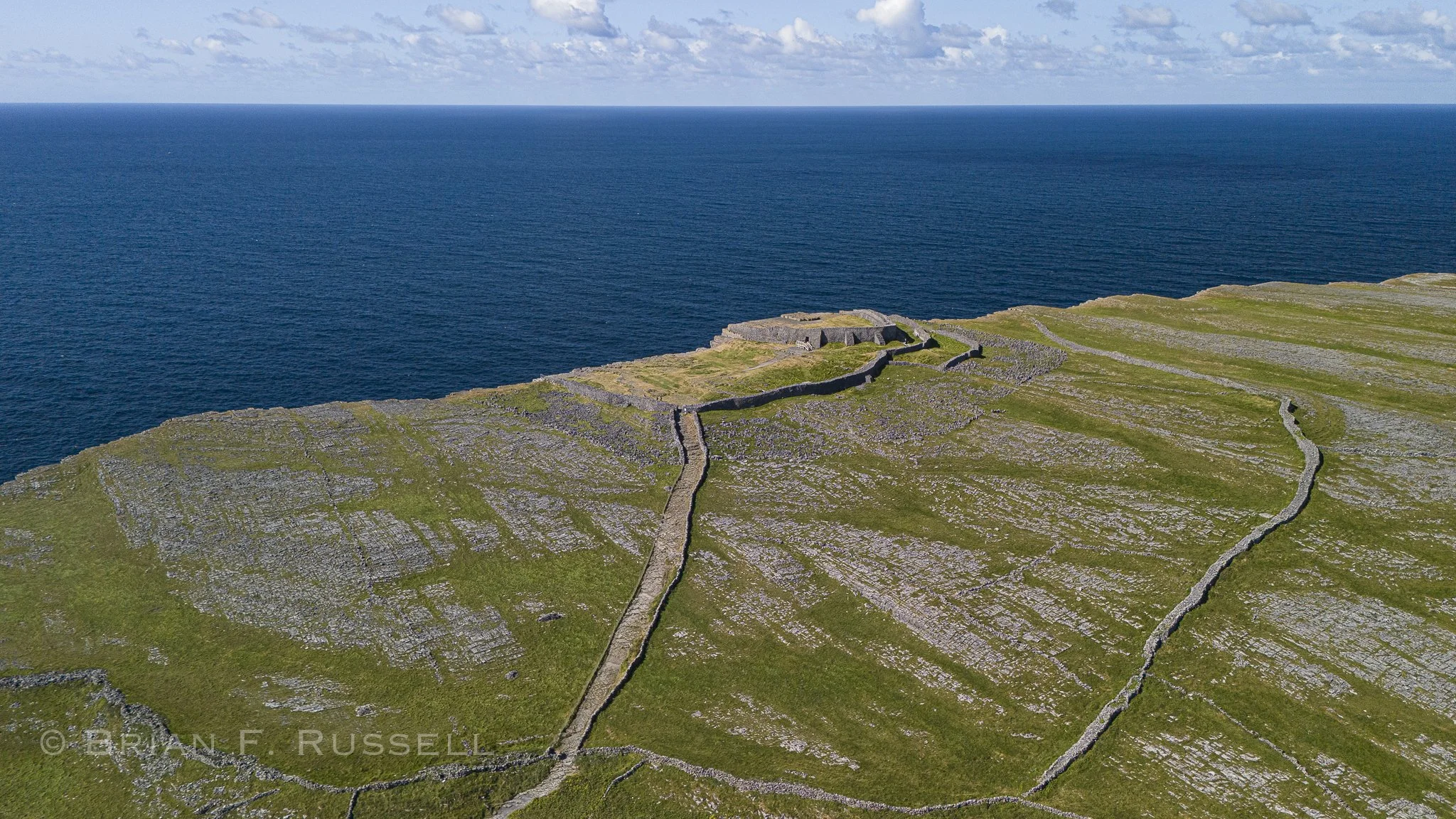
Our first stop was the ancient fortress of Dún Aengus, built on the cliff edge during the bronze age, some 3000 years ago. It is thought it was used as a community gathering place rather than a military style fort. Most likely as a religious site for seasonal celebrations, with the huge alter like rock platform right in its center.
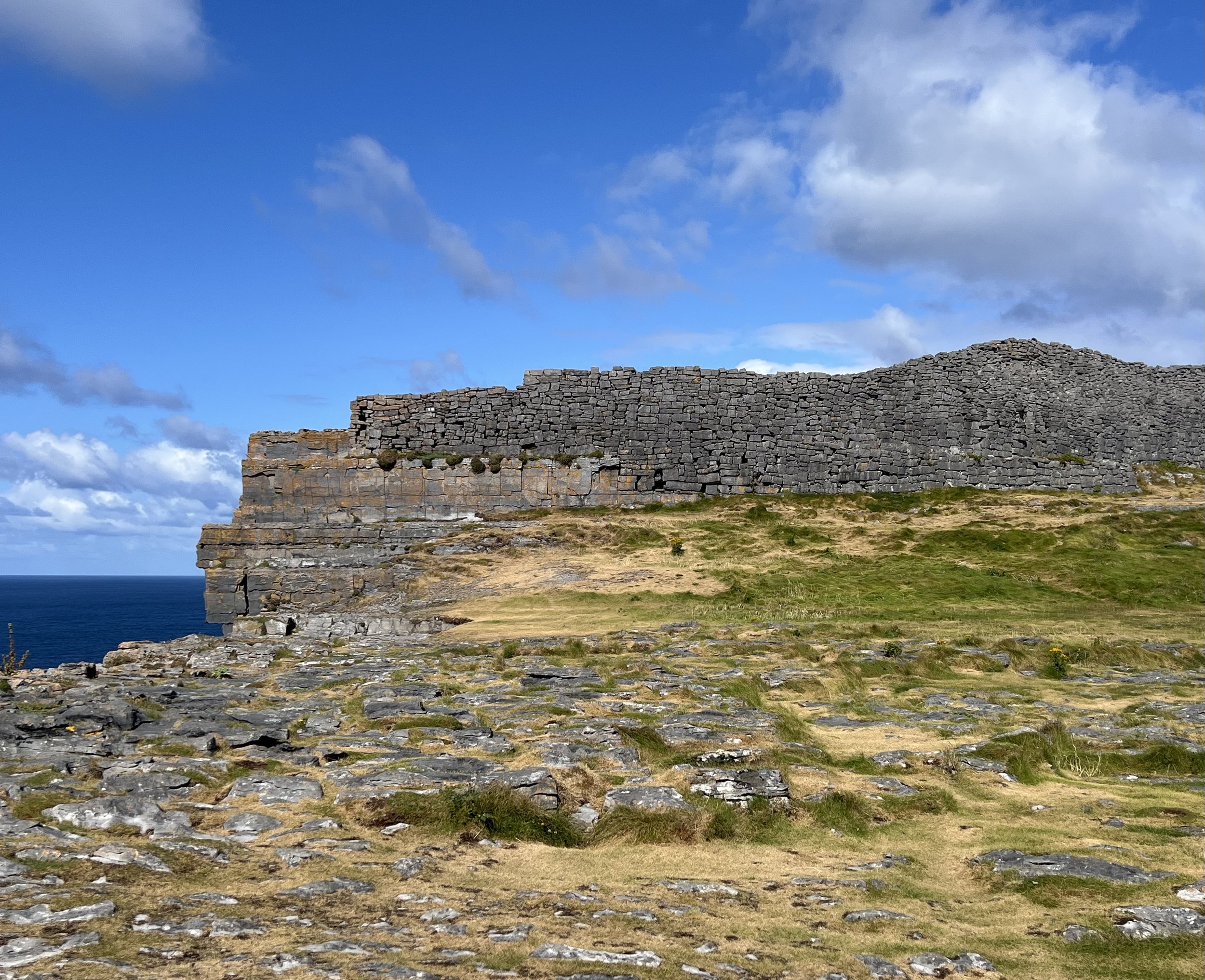
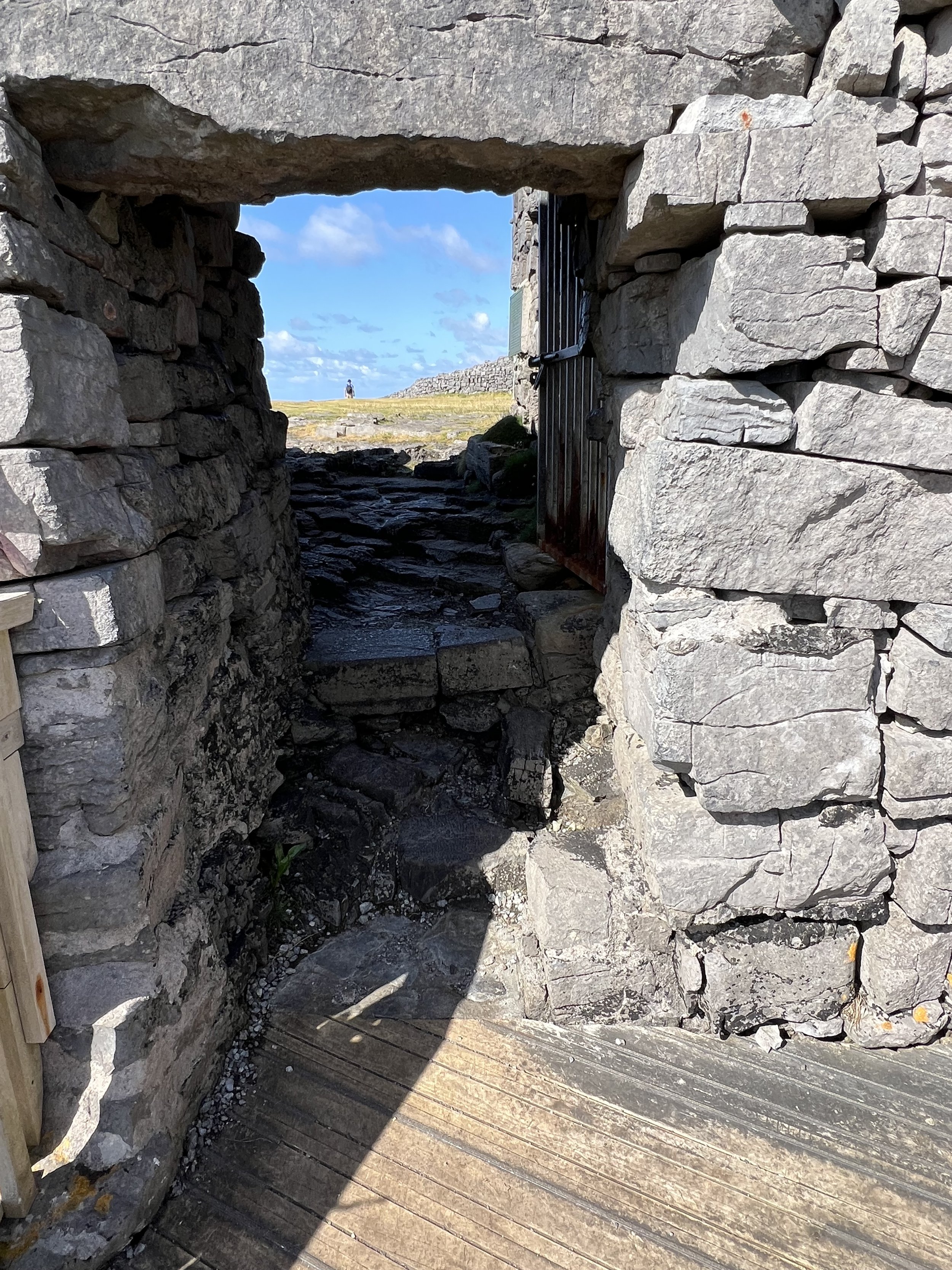
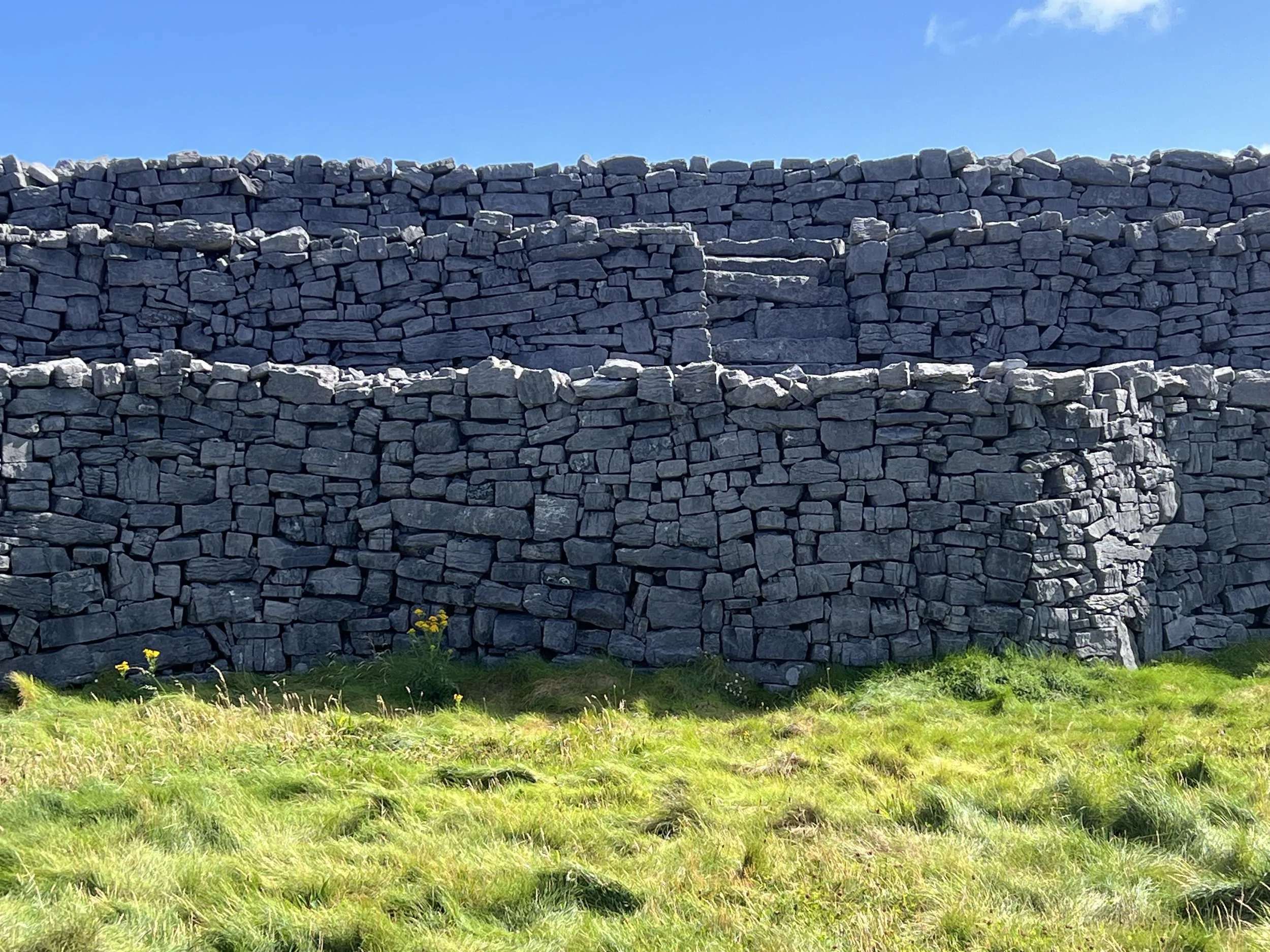
There is no shortage of building material in this landscape, and the rock walls of the fort at 20-30 feet thick attest to that.
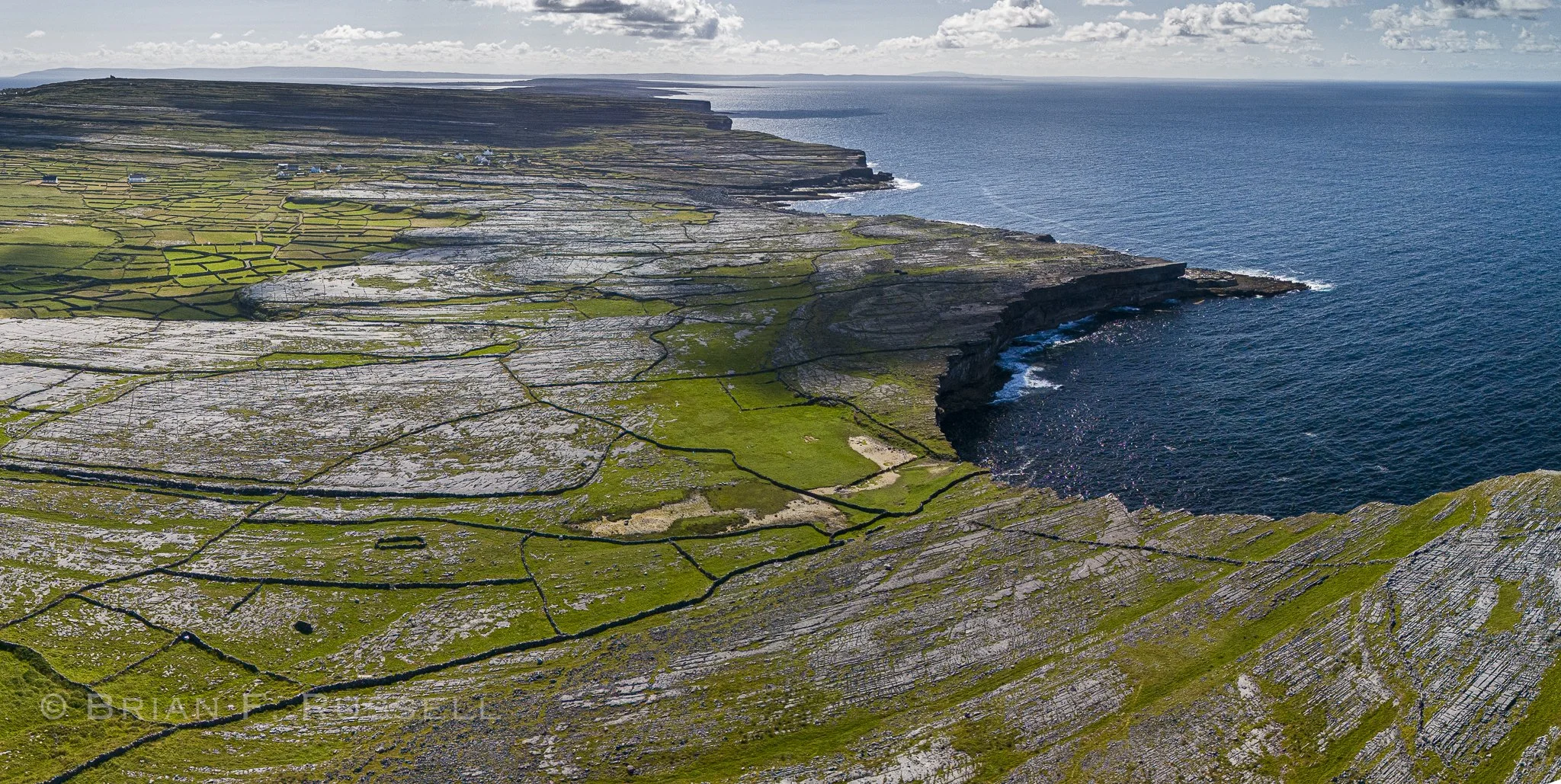
The island slopes up toward the south and the sheer cliffs all along that coast feel like the end of the world.
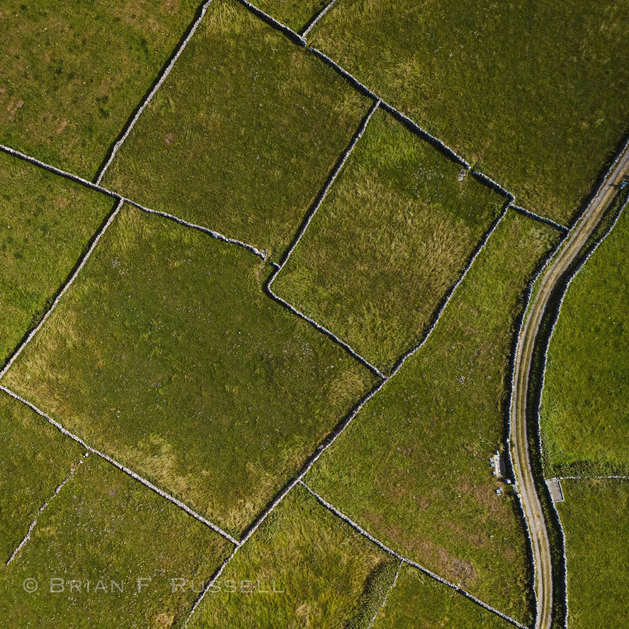
The stone walls, 7,000miles we were told, make pockets of space for sand and seaweed to be layered and finally compost down to provide soil for some grass and a little subsistence agriculture.
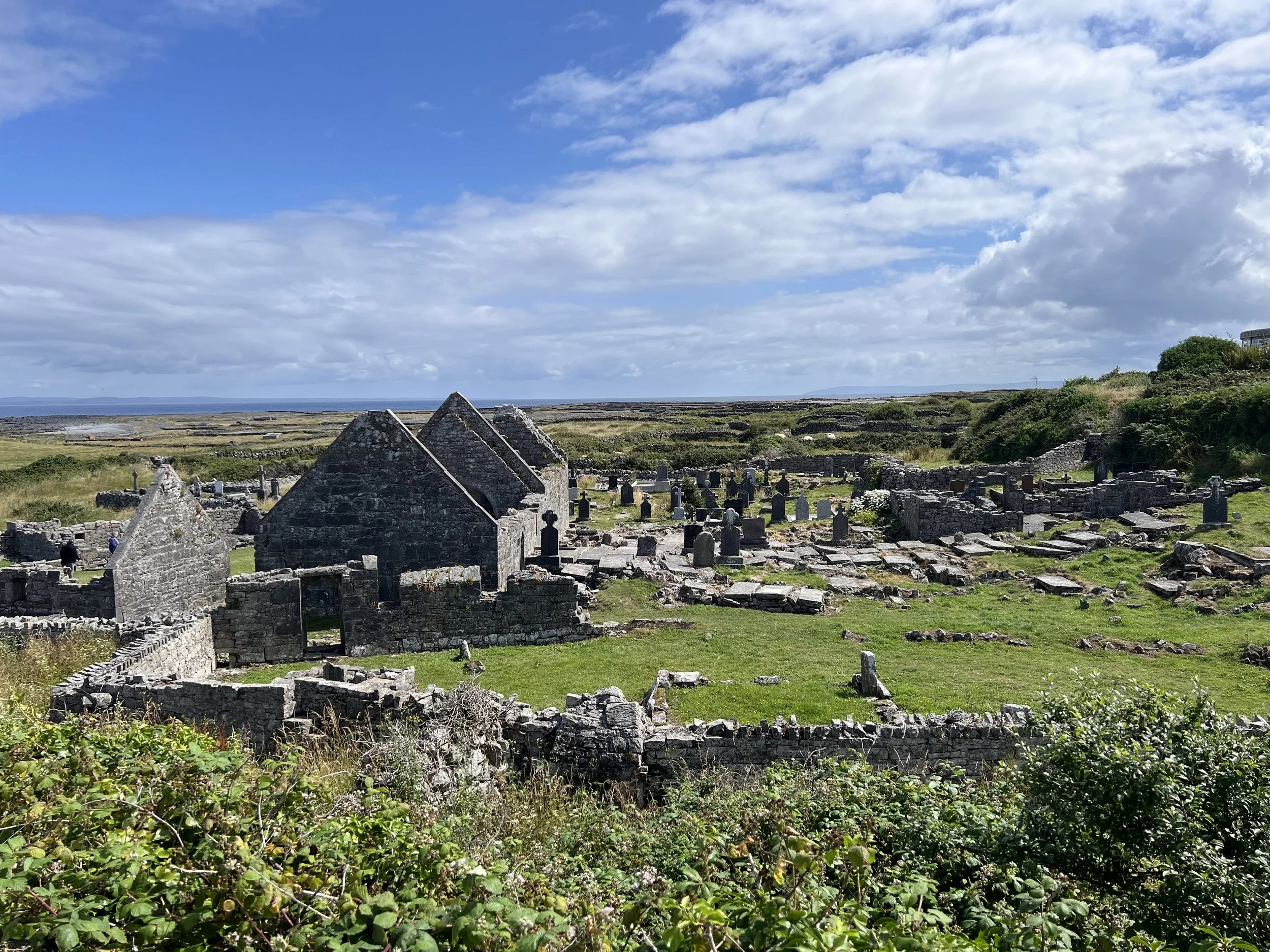
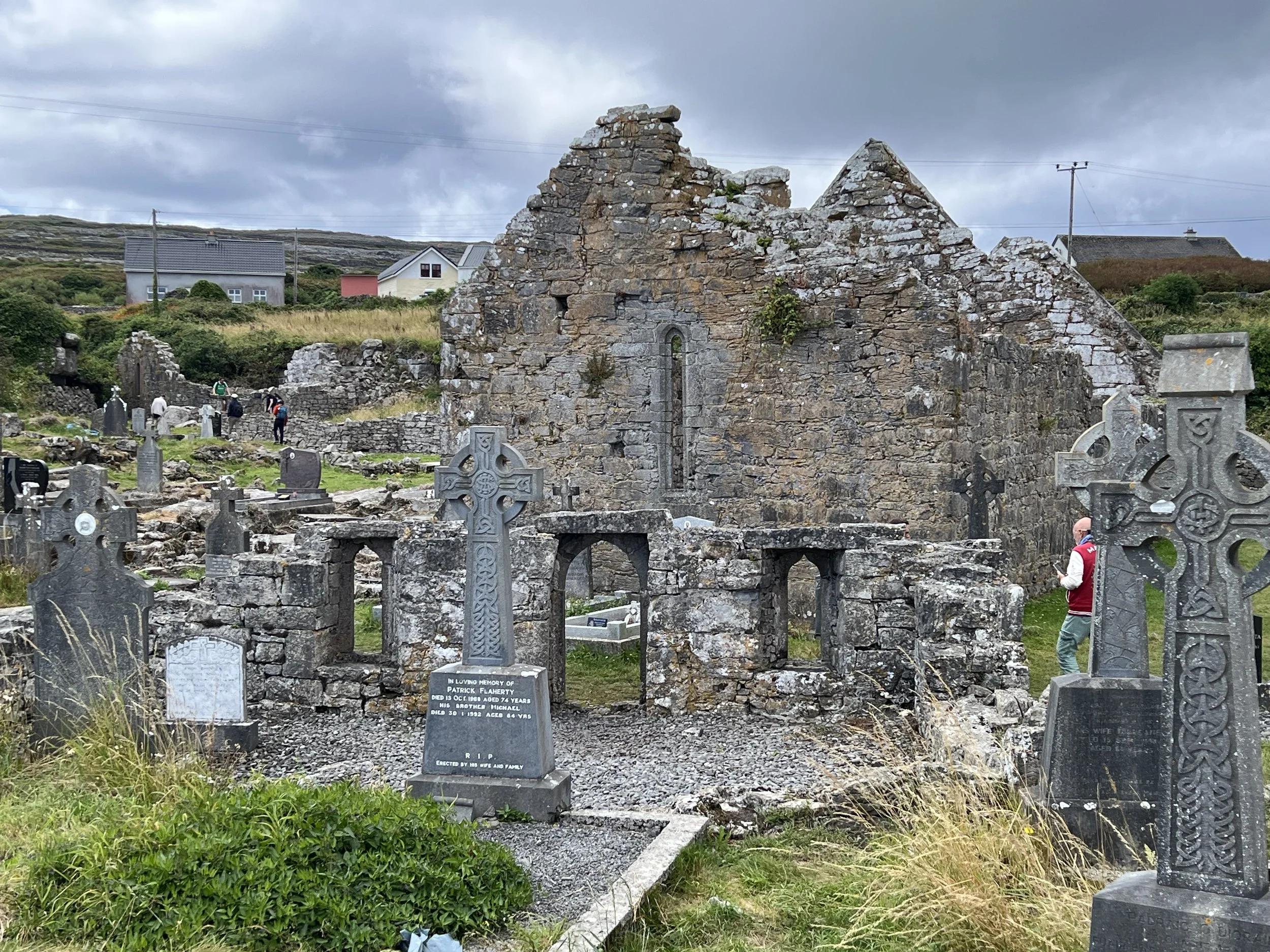
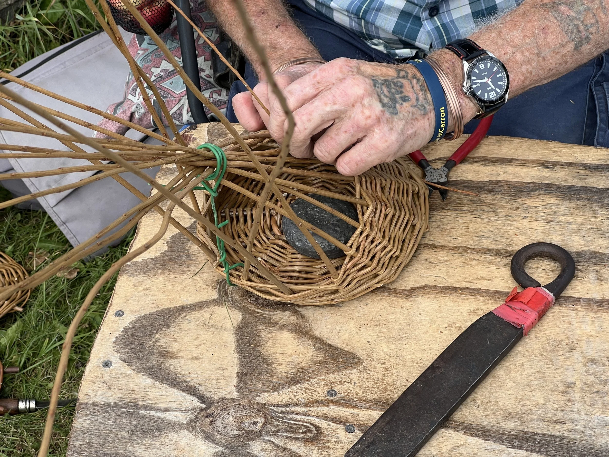
We cycled on, checking out the Seven Churches (in fact only two), a 8th-13th century monastic site. Viewed the western most tip with lighthouse and met a local craftsman making traditional willow baskets.
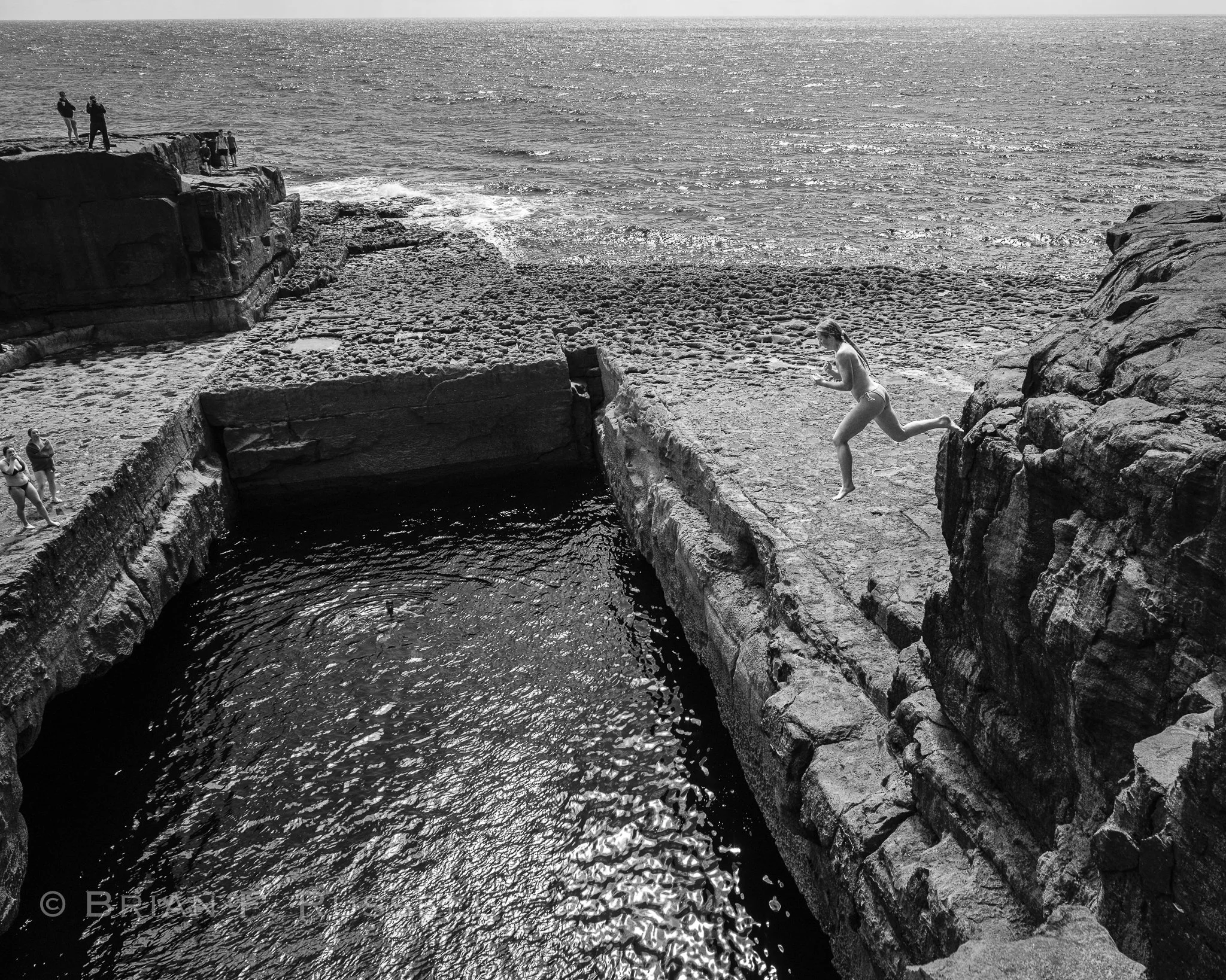
The next stop on the journey was The Wormhole, or Poll na bPéist in Gaelic. It is a natural feature, a rectangular shaped rock pool, connected to the ocean by underwater caves.
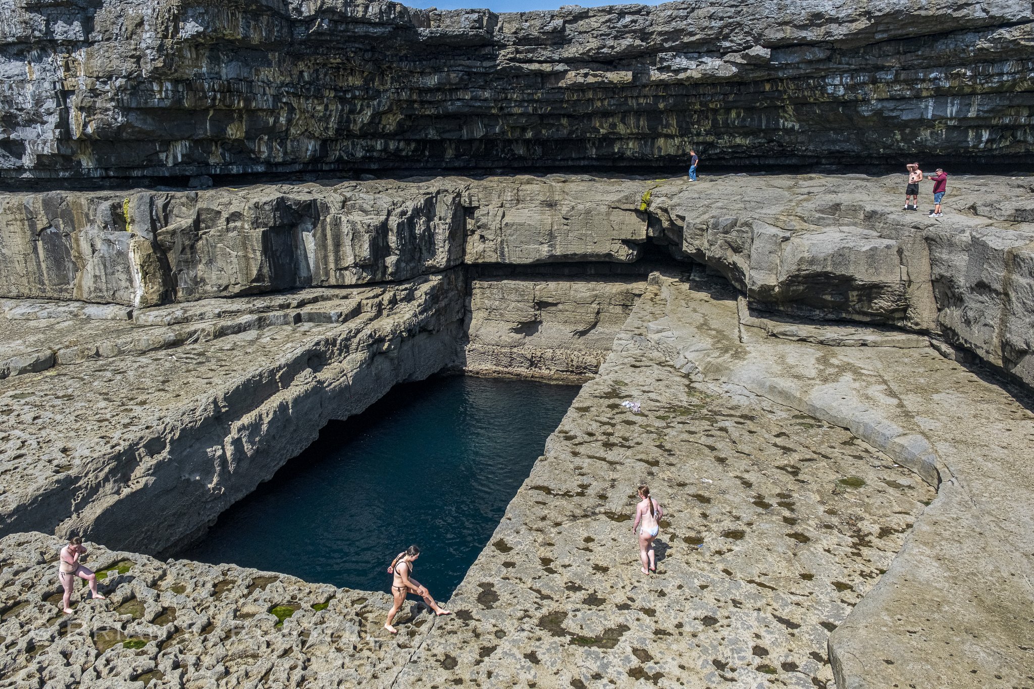
The Wormhole.
It was a sunny day, and warm, by Irish standards. Some local youngsters were jumping in.
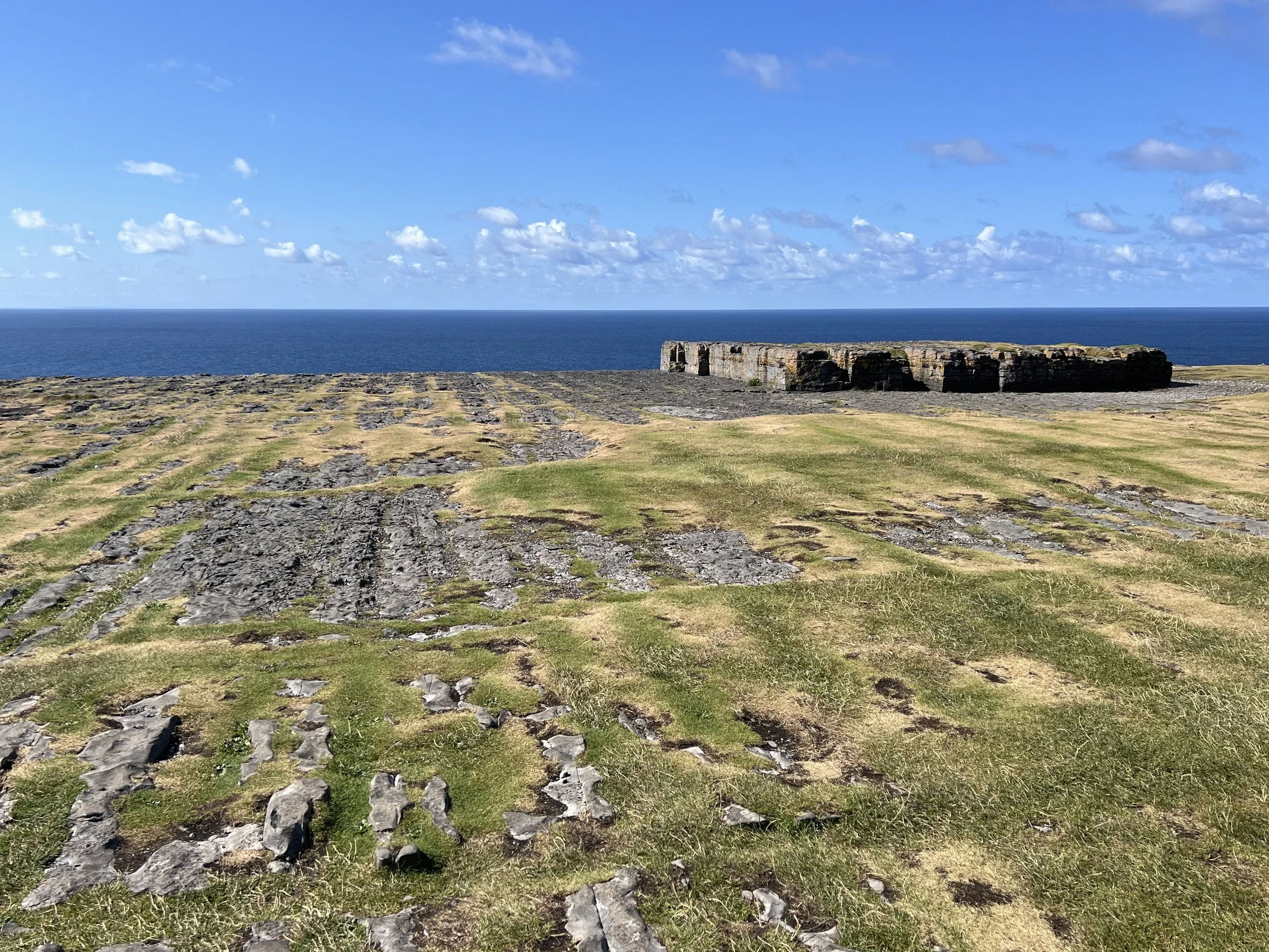
Our final, and possibly favorite spot on Inishmore, was the Black Fort, Dún Dúchathair. Also built on the cliff edge, this fort was accessed by a rugged walk across the incredible karst landscape. Inside the fort walls there were remains of possible beehive huts or some kind of dwellings.
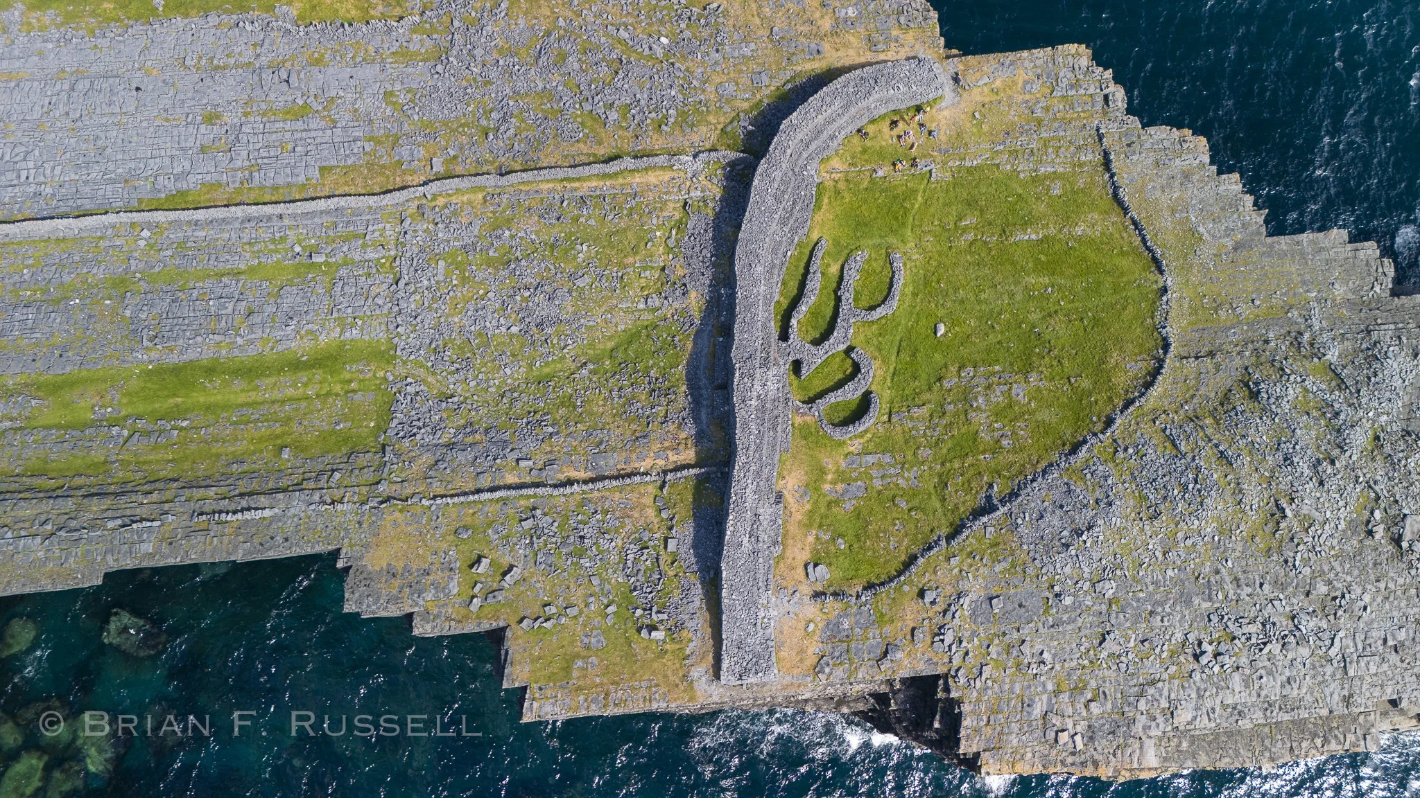
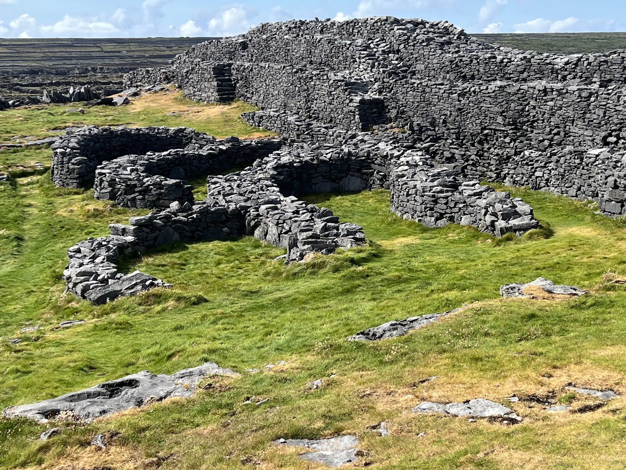
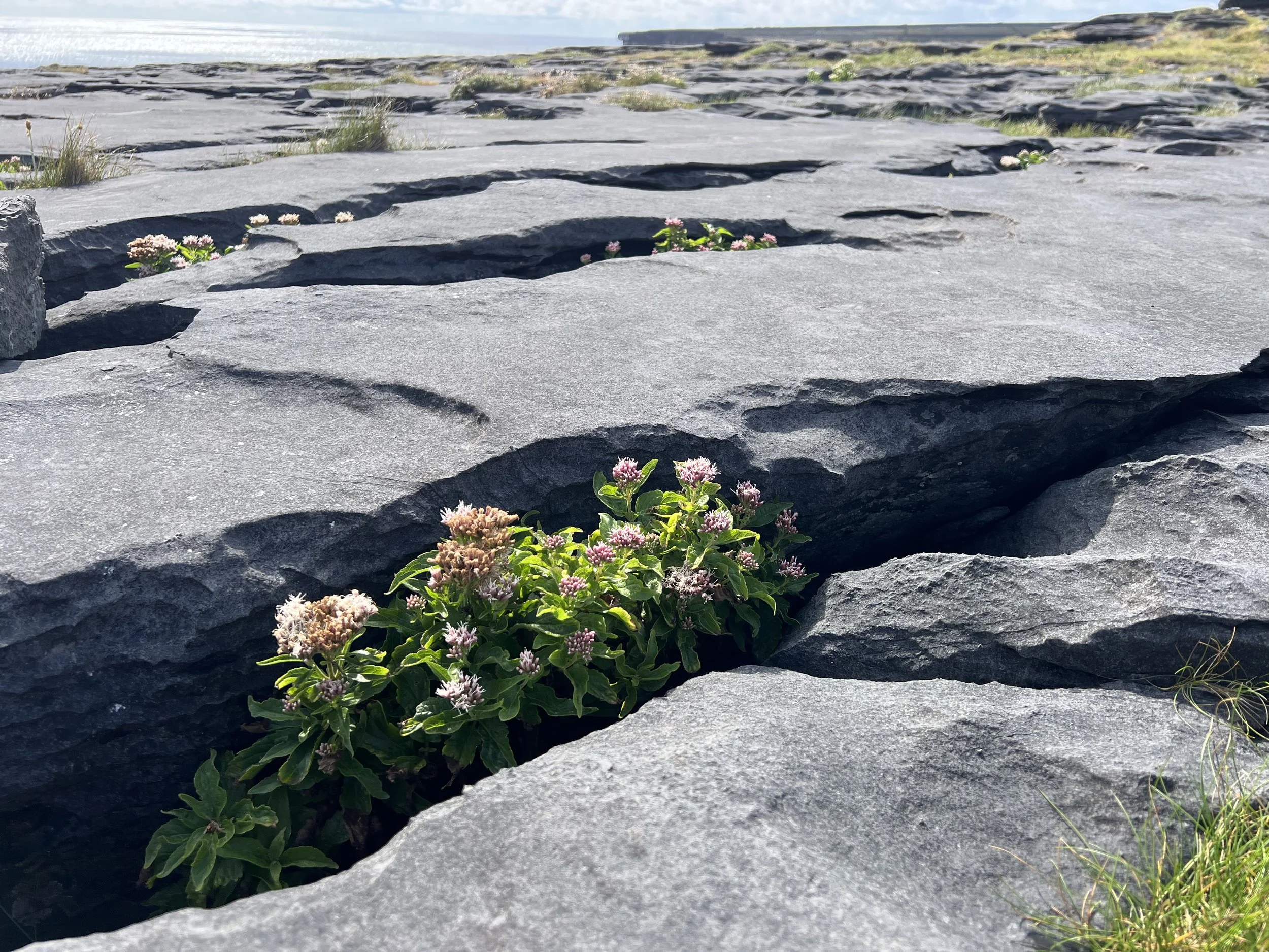
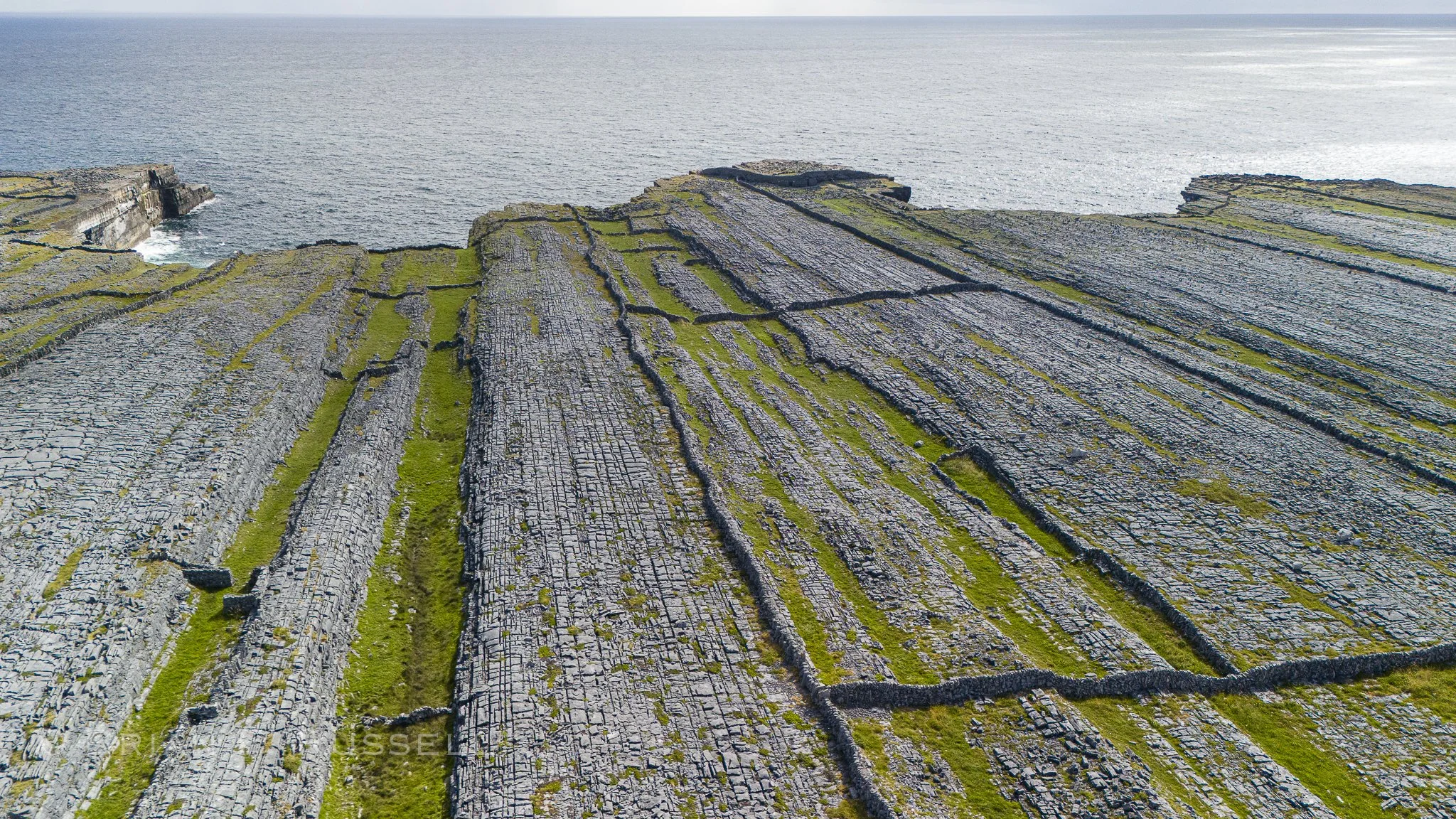
The Black Fort and karst landscape.
It was hard to leave, but we still have a lot to explore, so the following day we pulled up the anchor and headed north. But you will have to wait for the next installment……