Well, that is just Scilly.
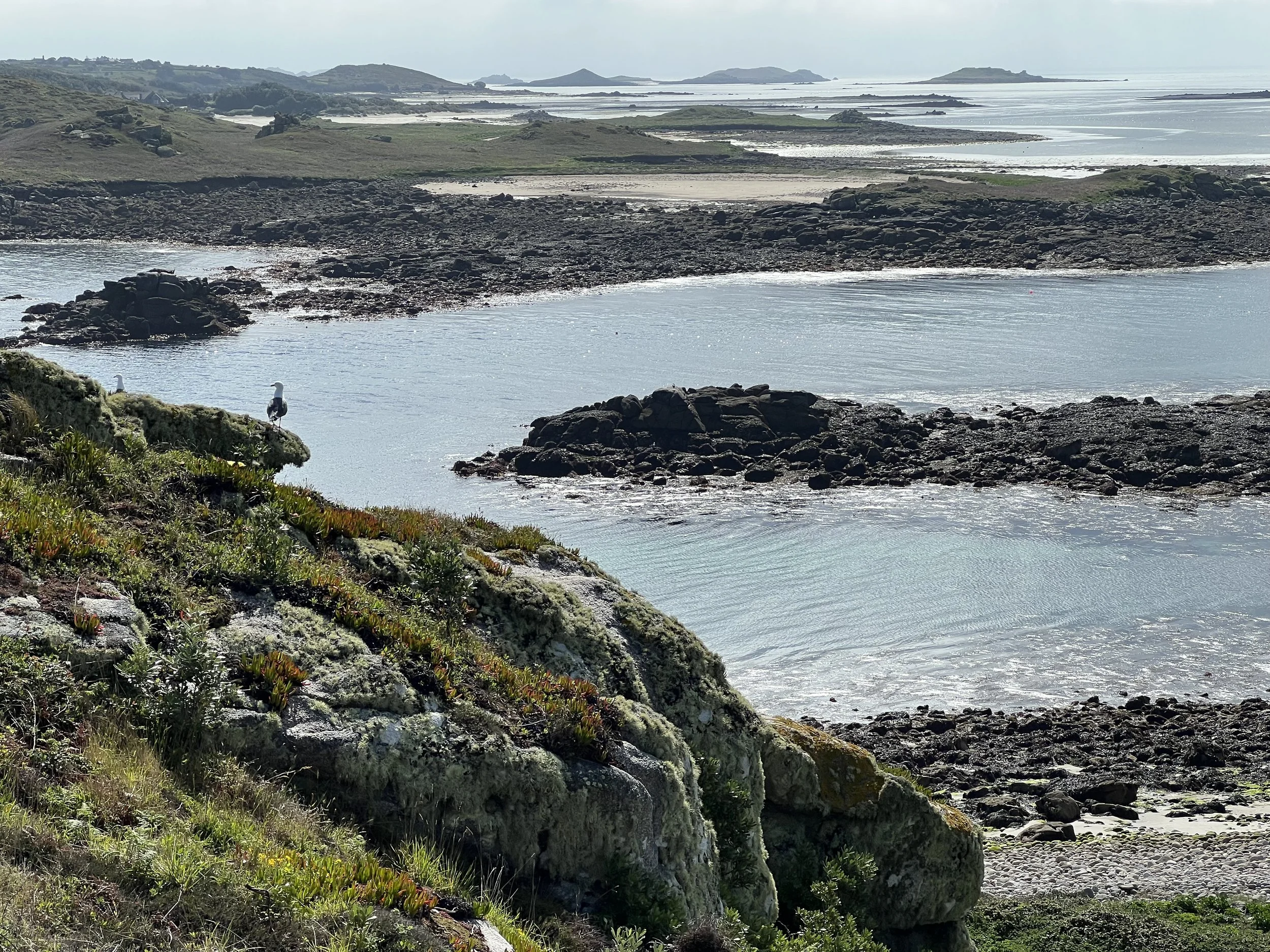
Low tide in Scilly Isles
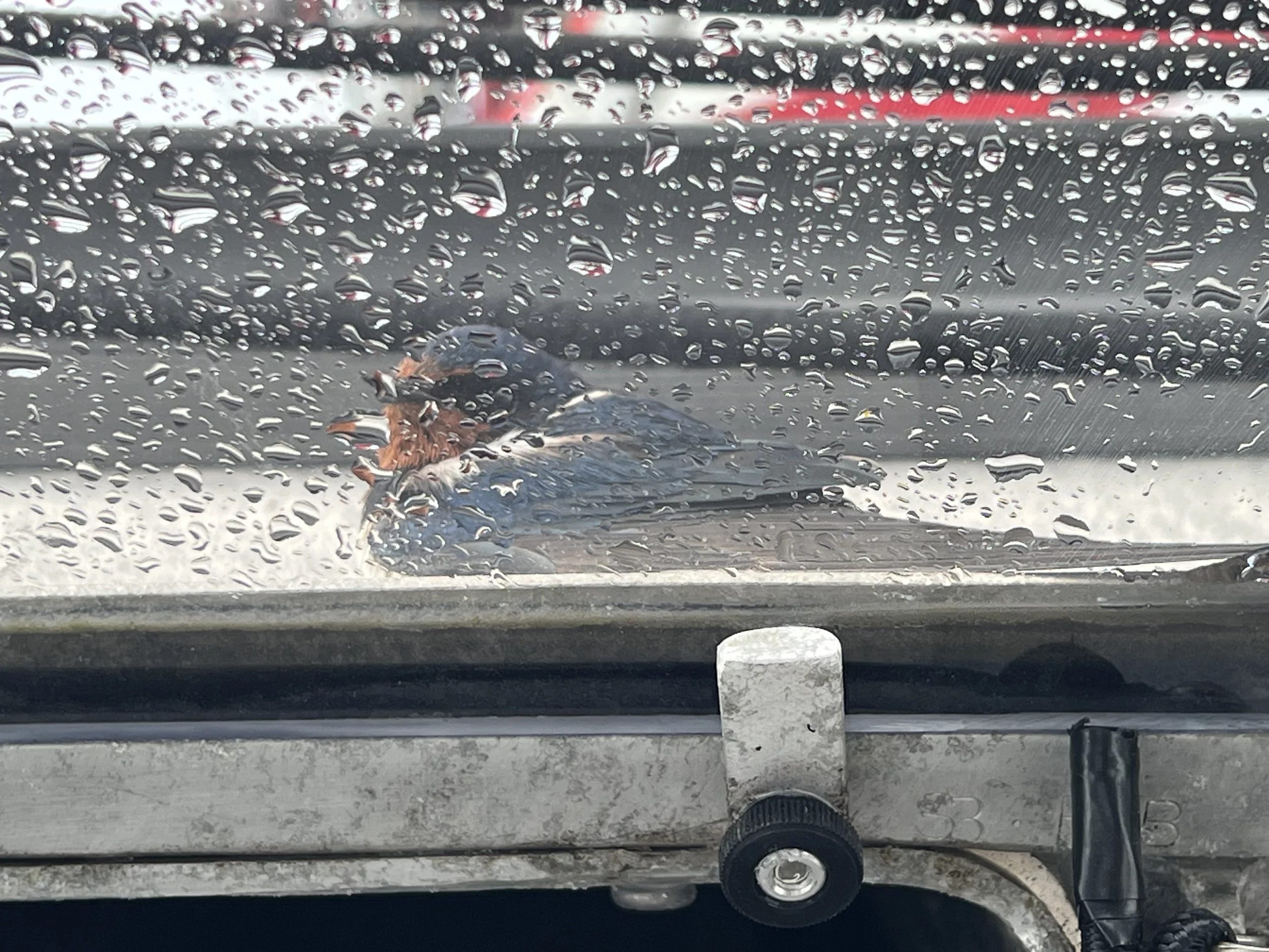
We depart Cornwall and mainland UK at 6am to catch the outgoing tide helping us round the Lizard peninsula before heading due west. Our destination was the archipelago of islands just to the southwest, the Scilly Isles. On our journey we are joined by some playful porpoises and an exhausted swallow.

Only five islands are inhabited with a total permanent population of around 2,000. The tidal range is huge, especially for an open sea location, over 19ft (6m). In addition, the area between the islands is fairly shallow which means at low tide large areas of land become visible, and at spring low tides one can sometimes walk between some of the islands. We arrived at high tide (good planning maybe) and could comfortably sail over to our chosen anchorage. The next day we woke up to low tide and saw the vast sand banks and rocky outcrops that had just not been visible the night before.

Helacious at anchor in St Helens Pool, how could we resist? Most of these rocks and sandbanks were submerged at high tide.

Fortunately we had arrived before peak season as the cruising guides paint rather an alarming picture as to the crowded and expensive mooring fields. In fact the following weekend was going to be a bank holiday and the annual World Gig rowing competition would bring hundreds of folk here. Although that would be a lot of fun to watch, we enjoyed having the whole place to ourselves.
St Helen’s island is uninhabited at present, but we saw signs of previous tenants. The stone walls from an old croft and the ruins of the Pest House, an 18th century quarantine house for sailors. The view from the top over to Round Island with the lighthouse and the breakers at the entrance to Old Grimsby Sound.


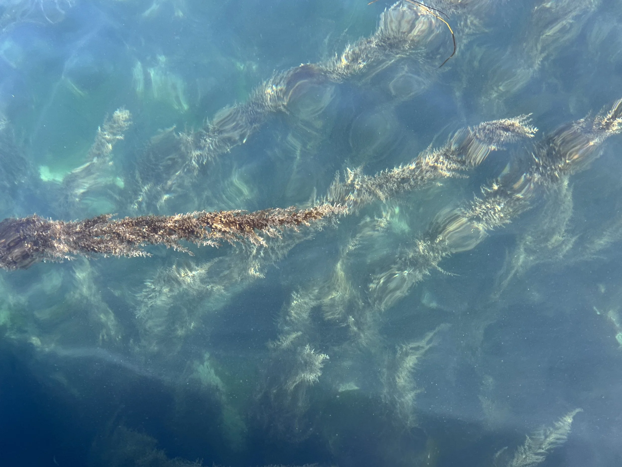
It was lovely to be back in a pristine environment. It was sunny and the water was so clear, Brian simply felt the need to check the prop shaft anode after the winter in a marina. However once in (8C water) he had trouble even getting his head under water, simply too cold.


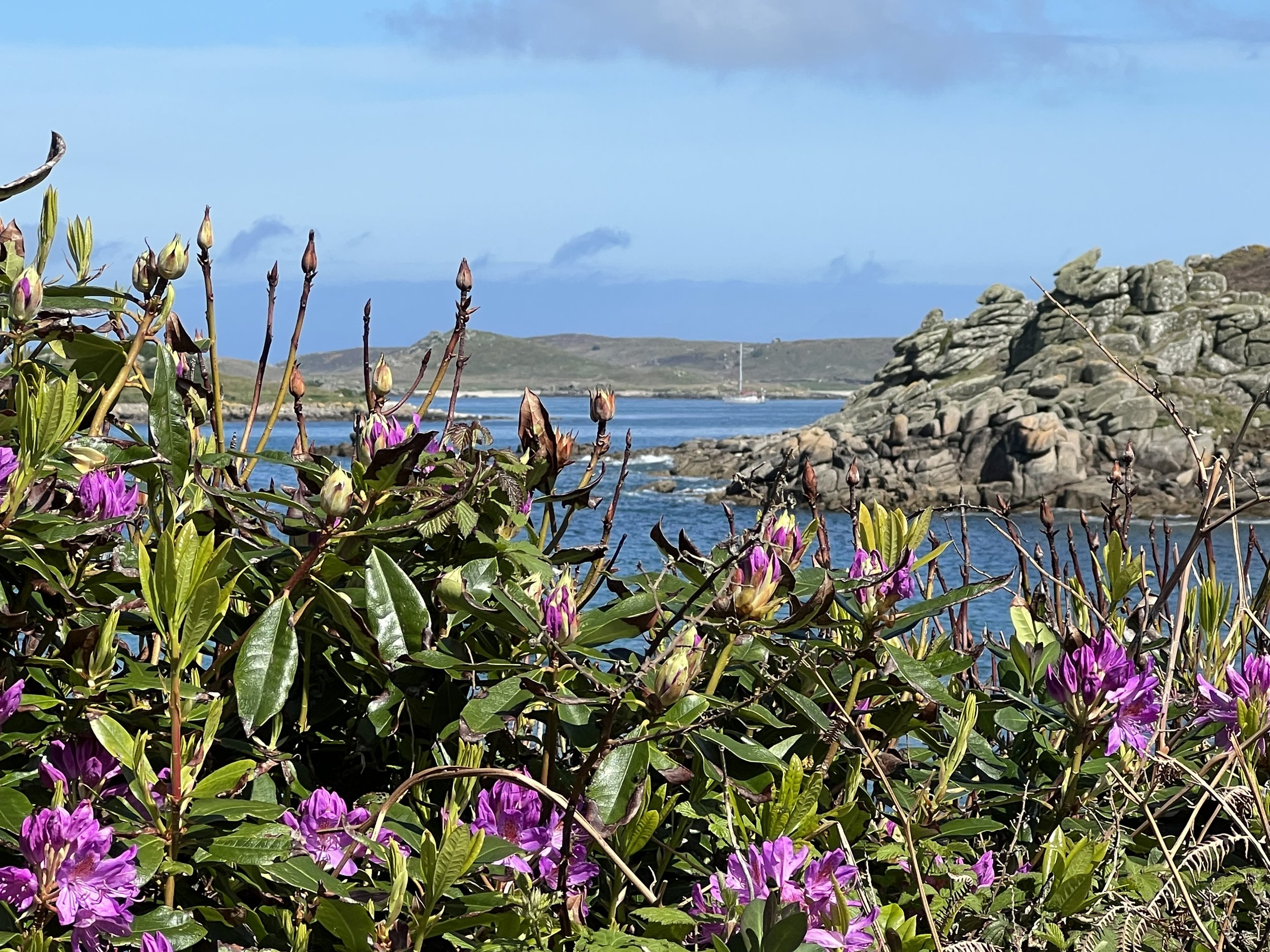
We take the dinghy over to Tresco, the second largest inhabited island, to have a hike. After securing it on the stone quay we walk around the north coast of the island. The low heather and weather sculpted rhododendrons were close to blooming. The heather gave way to peat and grassy tussocks with rocky outcrops. It was quite a lunar feeling.


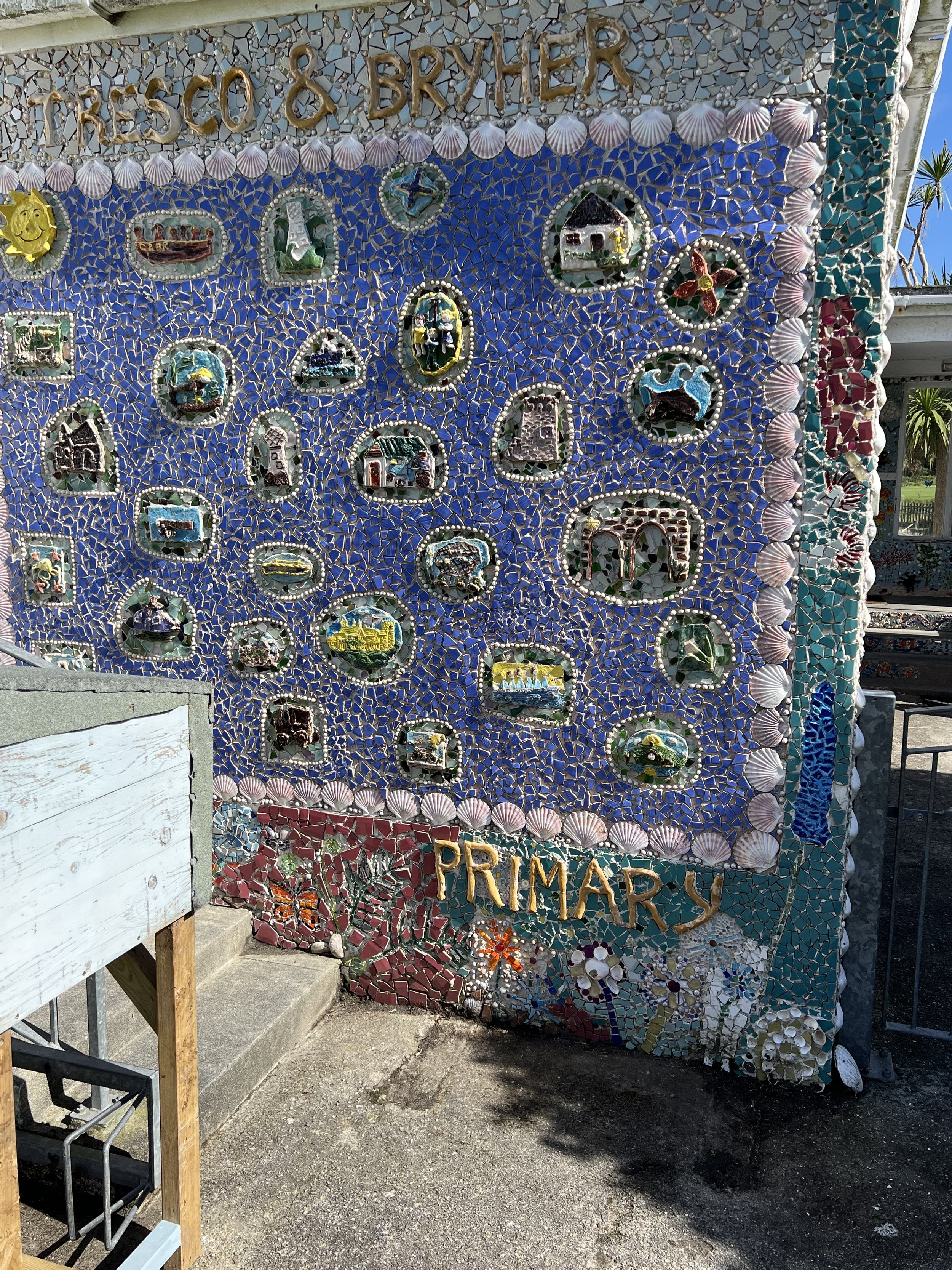
We walk over to the other side of Tresco to check out the next island, Bryher. The fort on the hill overlooking Cromwell’s Castle, both relics from around the time of the Civil War. We stroll through the small village and enjoy the solid St Nicholas church and delightful mosaic on the Tresco Primary School. After age 11 students have to board during the week on St Mary’s, the most populated Island, to attend school.


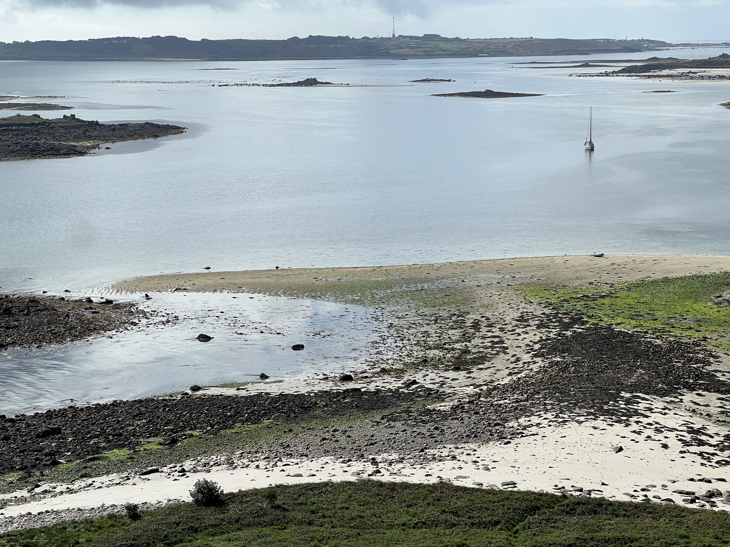
We return to the dinghy tied to the quay that was nearly underwater. As there was still 2ft of tide to go, we were lucky to escape with just damp feet. We sent the drone up and compared the view at low water to what we saw now.

The rock on left is all that is visible at high tide, and the islands just to our right are completely submerged at high tide.


The sunset that evening was golden. The next morning we had to be off early, catching the high tide so we could safely exit the channels. It was only a brief visit, but I think we saw the Scillies at their best. In the sunshine - and empty of tourists. I wish we had more time to explore the many secluded anchorages, but northern waters were calling.
Follow our progress on our tracking page. https://forecast.predictwind.com/tracking/display/SVHelacious/